The best running trails around Hohenöllen
4.1
(40)
308
runners
39
runs
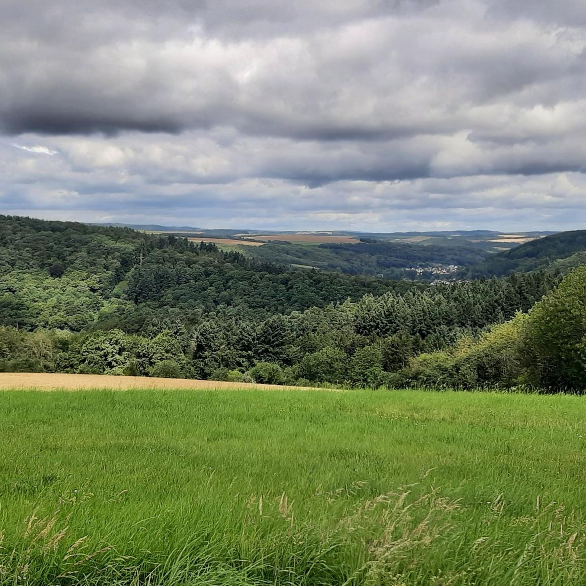
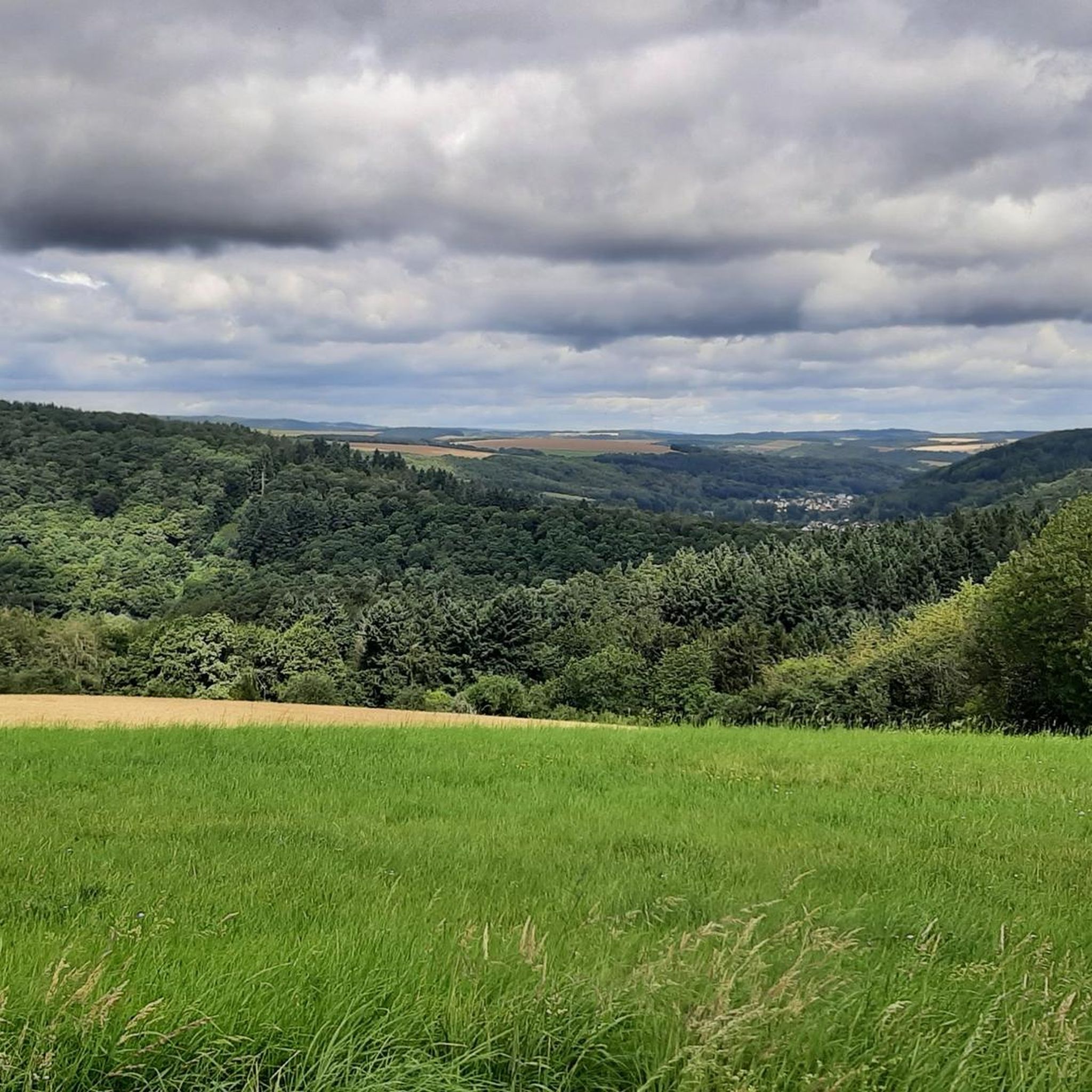
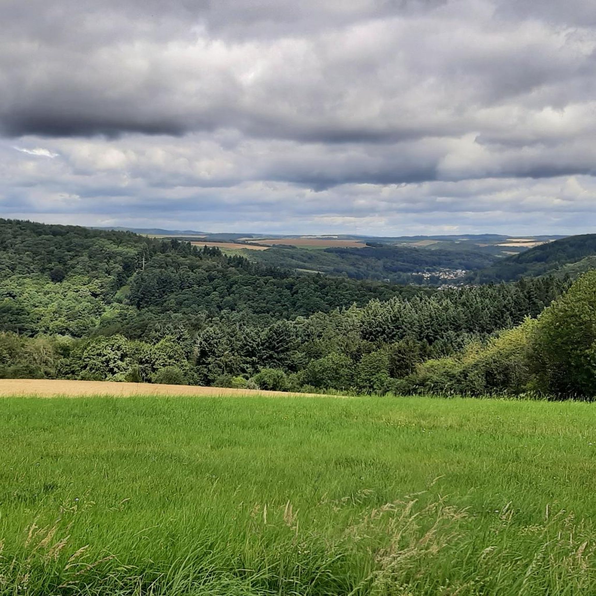
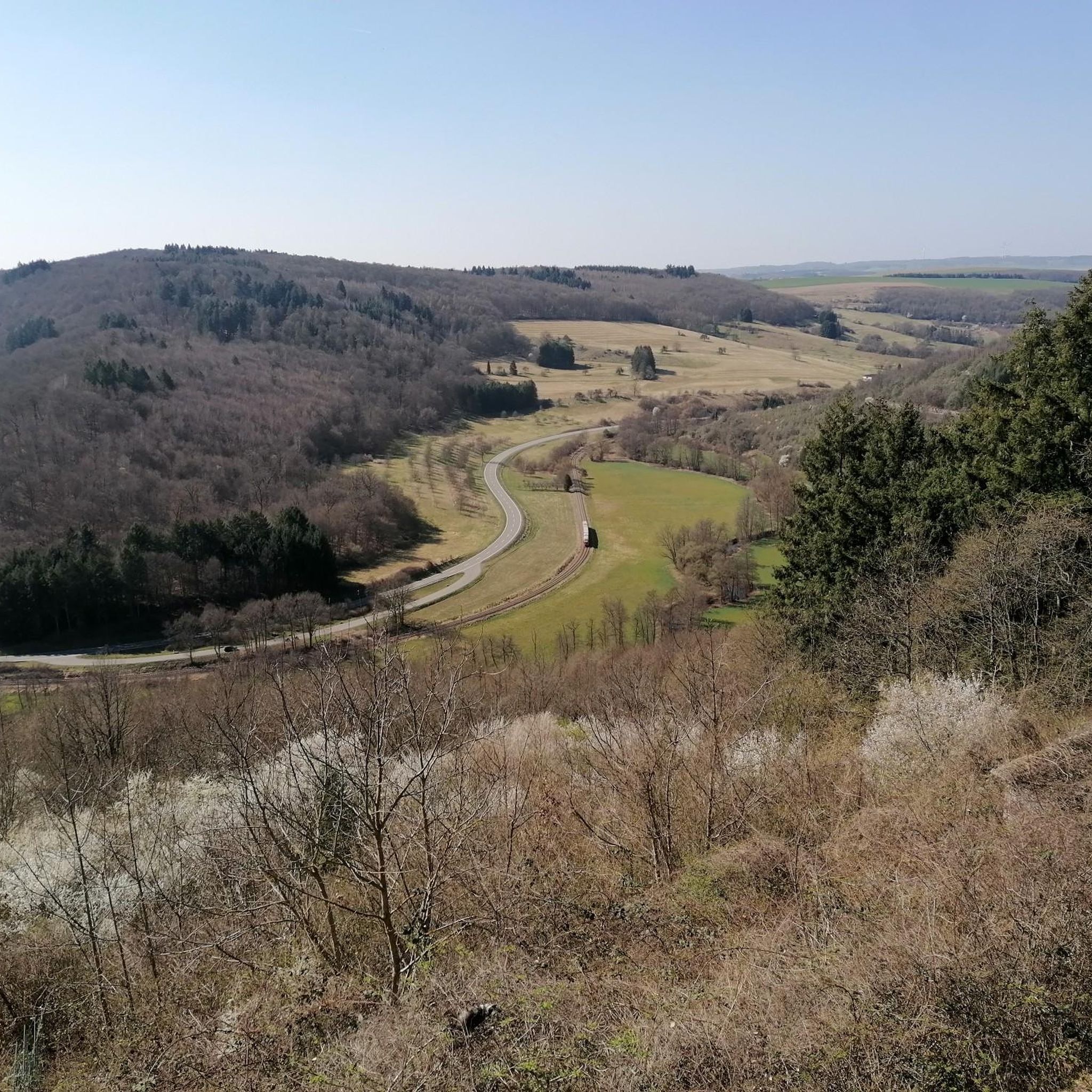
Jogging around Hohenöllen offers diverse terrain through rolling hills and green forests, providing a scenic backdrop for runners. The area features varied paths through meadows and open fields, with both gentle descents and uphill sections. Streams like the Sulzbach add to the natural environment, while views of the Palatinate Forest mountains and the Lauter Valley are present.
Best jogging routes around Hohenöllen
- The most popular jogging route is Ruins of Neu-Wolfstein Castle – Potzberg Tower loop from Wolfstein, a…
Last updated: July 2, 2026
5.0
(1)
48
runners
50.3km
06:10
1,500m
1,500m
Hard run. Very good fitness required. Mostly accessible paths. Some sure footedness required.
5.0
(1)
19
runners
19.3km
02:29
710m
710m
Hard run. Very good fitness required. Sure-footedness, sturdy shoes and alpine experience required.

Sign up for free
11
runners
Hard run. Very good fitness required. Mostly paved surfaces. Suitable for all skill levels.
9
runners
Moderate run. Good fitness required. Mostly paved surfaces. Suitable for all skill levels.
6
runners
Hard run. Good fitness required. Sure-footedness, sturdy shoes and alpine experience required.
Get access to more routes and recommendations from other explorers.
Sign up for free
Already have an account?
Our route recommendations are based on thousands of hikes, rides, and runs completed by other people on komoot.
Start today with a free account
Your next adventure awaits.
Login or Signup
Tips from the Community

ausgeschilderthcsegsua guttug , fahrenaf zuuz EinfachhcafniE
0
0

The Potzbergturm is a 35-meter-high sandstone tower on the 562-meter-high Potzberg near Föckelberg (Kusel district). It was built in 1951 (inauguration 13.07.1952), offers a wide view over the Palatinate Forest to the Vosges mountains and is a popular excursion destination. Next to the tower, there is a wildlife park, a falconry, and a hotel-restaurant (closed). It is located on the summit of Potzberg, near Föckelberg (Westpfalz) and offers a panoramic view over Westpfalz, the Palatinate Forest, and up to the Hunsrück/Vosges.
1
0
The Potzbergturm is a 35-meter-high sandstone tower on the 562-meter-high Potzberg near Föckelberg (Kusel district). It was built in 1951 (inauguration 13.07.1952), offers a wide view over the Palatinate Forest to the Vosges and is a popular destination. Next to the tower, there is a wildlife park, a falconry, and a hotel-restaurant. It is located on the summit of Potzberg, near Föckelberg (Westpfalz) and offers a panoramic view over Westpfalz, the Palatinate Forest, and up to the Hunsrück/Vosges. Opening hours: There are no specific, official closing times for the tower.
1
0
The Potzbergturm is a 35-meter-high sandstone tower on the 562-meter-high Potzberg near Föckelberg (Kusel district). It was built in 1951 (inauguration 13.07.1952), offers a wide view over the Palatinate Forest to the Vosges mountains and is a popular excursion destination. Next to the tower, there is a wildlife park, a falconry, and a hotel-restaurant. It is located on the summit of Potzberg, near Föckelberg (Westpfalz) and offers a panoramic view over Westpfalz, the Palatinate Forest, and up to the Hunsrück/Vosges. Opening hours: There are no specific, official closing times for the tower.
1
0

Great view over the Palatinate region!
0
0

The wolf fountain on the town hall square in Wolfstein pays homage to the town's name, which dates back to a historic noble line, the Lords of Wolfstein. The wolf in the fountain symbolizes the naming and, as a heraldic animal, represents the town's historical connection to this line, which named itself after the town in the late 13th century.
3
0

Very nice cycle path for road cycling
1
0
The path there was a bit difficult to find and is steep and because of the dryness the ground is quite loose
0
0
Frequently Asked Questions
How many running routes are available around Hohenöllen?
There are over 35 diverse running routes around Hohenöllen, catering to various fitness levels. These include 6 easy routes, 25 moderate routes, and 7 challenging trails for experienced runners.
What kind of terrain can I expect on the jogging trails in Hohenöllen?
The jogging trails in Hohenöllen offer a varied terrain, characterized by rolling hills, green forests, and open fields. You'll find a mix of surfaces, including both gentle descents and challenging uphill sections, providing diverse training opportunities and scenic views of the Palatinate Forest mountains and the Lauter Valley.
Are there any family-friendly running routes in the Hohenöllen area?
Yes, Hohenöllen offers several easy routes suitable for families. These paths typically feature less elevation gain and are often through meadows or along streams, providing a pleasant experience for all ages. While specific family-friendly routes aren't highlighted by name in the guide, the 6 easy routes available are a great starting point for families.
Can I bring my dog on the running trails around Hohenöllen?
Many of the natural trails and paths through forests and meadows in the Hohenöllen region are suitable for running with dogs. It's always advisable to keep your dog on a leash, especially in forested areas or near wildlife, and to respect local regulations. The diverse terrain and open spaces make it a great area for active dogs.
Are there any circular running routes in Hohenöllen?
Yes, many of the running routes around Hohenöllen are designed as loops, allowing you to start and finish at the same point. An example is the Town Hall Square Wolfstein – Historic Old Town of Wolfstein loop from Wolfstein, a moderate 6.2 km trail that takes you through historic areas.
What interesting landmarks or natural features can I see while running in Hohenöllen?
While running in Hohenöllen, you can encounter various interesting sights. The region features historical elements like old vineyard walls and streams such as the Sulzbach. You might also pass by cultural touches like modern art installations. For specific landmarks, consider routes that pass near the Ruins of Neu-Wolfstein Castle or the Meisenheim Old Town. The Keep of Alt-Wolfstein Castle – Ruins of Neu-Wolfstein Castle loop from Wolfstein offers a chance to see historical sites.
Are there any running routes that offer panoramic views?
Absolutely. The Hohenöllen region is known for its magnificent panoramic views of the Palatinate Forest mountains and the Lauter Valley. Many routes, especially those with uphill sections, reward runners with breathtaking vistas. The Selberg Tower – Ruins of Neu-Wolfstein Castle loop from Wolfstein is a challenging route that includes significant elevation, likely offering great viewpoints.
What is the best time of year to go jogging in Hohenöllen?
Hohenöllen is suitable for jogging throughout much of the year. Spring and autumn offer pleasant temperatures and vibrant scenery with blooming flowers or colorful foliage. Summer mornings and evenings are ideal to avoid the midday heat. Even in winter, many trails remain accessible, offering a serene, crisp running experience, though conditions may vary.
Are there any running routes near water bodies or lakes?
Yes, the region around Hohenöllen features several streams, like the Sulzbach, which runners cross on some routes. For routes near larger water bodies, you can explore areas around highlights such as Laufhauser Weiher (Poggrech Weiher) and grill hut or Entenpuhlweiher, which are popular spots for recreation and can be incorporated into longer runs.
What do other runners enjoy most about jogging in Hohenöllen?
The running experience in Hohenöllen is highly rated by the komoot community, with an average score of 3.9 stars from over 37 reviews. Runners often praise the diverse terrain, the serene natural beauty of the forests and meadows, and the rewarding panoramic views. The variety of routes, from easy paths to challenging trails, also receives positive feedback.
Are there any long-distance running options in the Hohenöllen area?
For those seeking a significant challenge, Hohenöllen is situated near the Veldenz Hiking Trail, a long-distance path spanning approximately 62.5 km. While primarily for hiking, many sections are suitable for long-distance running. A notable long-distance route is the Ruins of Neu-Wolfstein Castle – Potzberg Tower loop from Wolfstein, which is 50.3 km and features significant elevation gain.
Is there public transport access to the running trails in Hohenöllen?
While Hohenöllen is a village, public transport options exist to reach the broader region. For specific trailheads, it's recommended to check local bus schedules to nearby towns like Wolfstein or Lauterecken, from where many routes originate. Planning your route in advance with public transport connections in mind is advisable.
Are there any running routes that follow a cycle path?
Yes, one notable route that follows a well-maintained cycle path is the Glan-Blies Cycle Path – Glan-Blies Cycle Path loop from Lauterecken-Grumbach. This 22.5 km route offers a consistent surface along the river, making it ideal for a steady run with minimal technical challenges.
Most popular routes around Hohenöllen
Most popular attractions around Hohenöllen

Get inspired with the komoot mobile app


Explore more
Browse the best Running Trails & Routes in other regions.
