The best walks and hikes around Faverolles
4.9
(71)
340
hikers
24
hikes
Hiking around Faverolles offers opportunities to explore natural scenery, including areas around lakes and historical sites. The landscape features varied terrain, from gentle paths around water bodies to routes with moderate elevation changes. While not a widely recognized hiking destination, the region provides accessible trails for outdoor enthusiasts.
Best hiking trails around Faverolles
- The most popular hiking route is Tour du Lac de la Mouche, a 4.2 miles (6.7 km) trail that takes 1 hour 45 minutes to complete,…
Last updated: July 4, 2026
4.6
(24)
142
hikers
6.72km
01:45
40m
40m
Hike an easy 4.2-mile (6.7 km) loop around Lac de la Mouche from Perrancey-les-Vieux-Moulins, enjoying peaceful lake views.
2
hikers
17.6km
04:42
190m
190m
Moderate hike. Good fitness required. Easily-accessible paths. Suitable for all skill levels.

Sign up for free
4.4
(19)
60
hikers
12.0km
03:20
210m
210m
Moderate hike. Good fitness required. Easily-accessible paths. Suitable for all skill levels.
5.0
(5)
45
hikers
Easy hike. Great for any fitness level. Easily-accessible paths. Suitable for all skill levels.
4.5
(4)
29
hikers
1.71km
00:27
20m
20m
Easy hike. Great for any fitness level. Easily-accessible paths. Suitable for all skill levels.
Get access to more routes and recommendations from other explorers.
Sign up for free
Already have an account?
Our route recommendations are based on thousands of hikes, rides, and runs completed by other people on komoot.
Start today with a free account
Your next adventure awaits.
Login or Signup
Tips from the Community

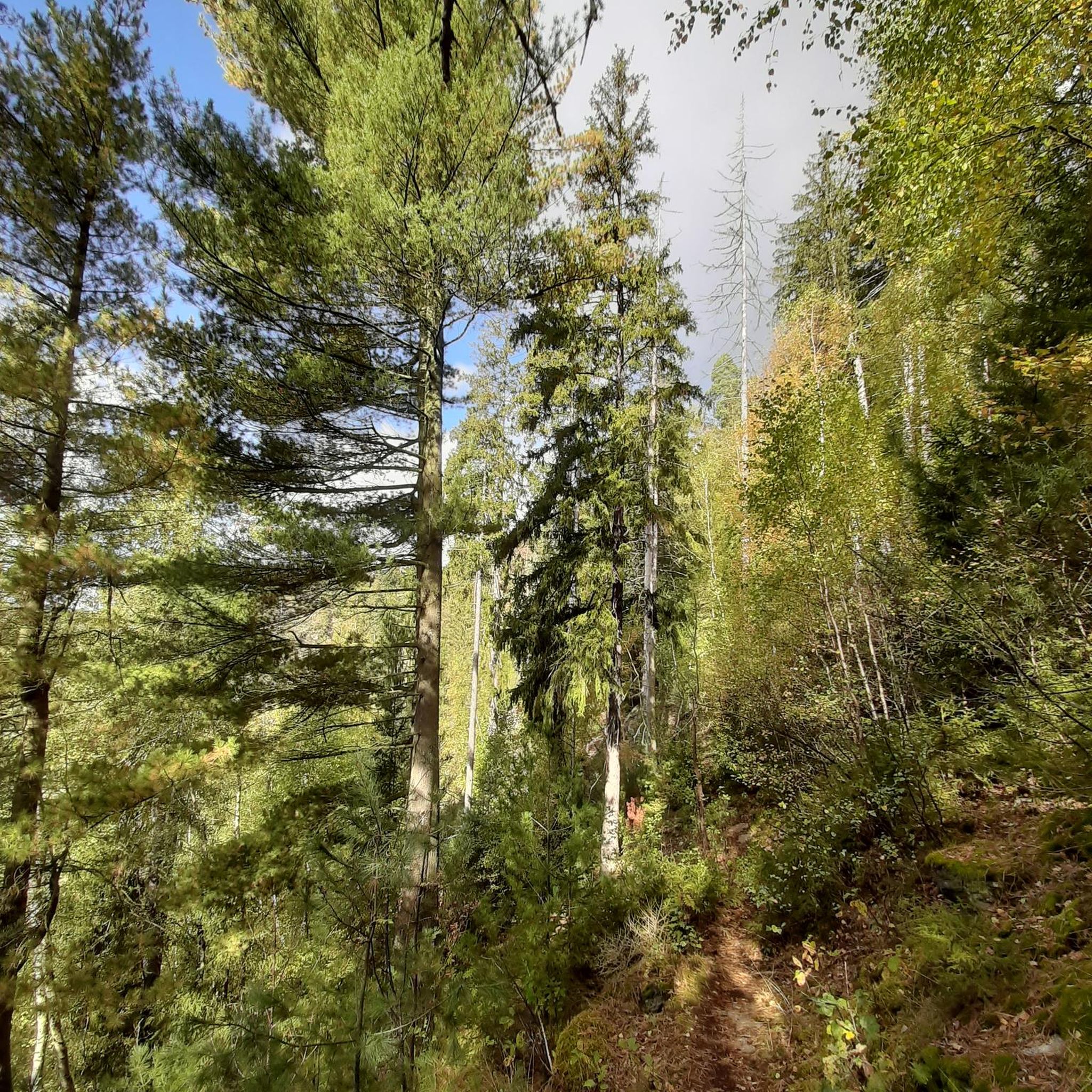
Beautiful nature, in rock formations
4
0


Recommended for all seasons
4
0

Approximately 1 hour walk, dogs possible, mountain bikes and horses
1
0

The Diamond Point Fort is a 19th century fortification which was part of the city's defensive system. The fort is located on a hill overlooking the Mouche and Bonnelle valleys, offering panoramic views of the countryside. You can explore the casemates, barracks, powder magazine and ramparts of the fort, and learn about its history and role in the Franco-Prussian War and the First World War. The fort also hosts various events and activities throughout the year, such as concerts, markets and festivals.
2
0
This natural wonder is the Tufière de Saint-Ciergues. It is a small tufa formation created by the deposition of limestone on moss, forming a series of small waterfalls. Tuff is a porous stone which gave its name to the site. You can enjoy the view of the tuff and the surrounding forest, but be careful not to step on it, as it is very fragile and needs to be preserved.
2
0
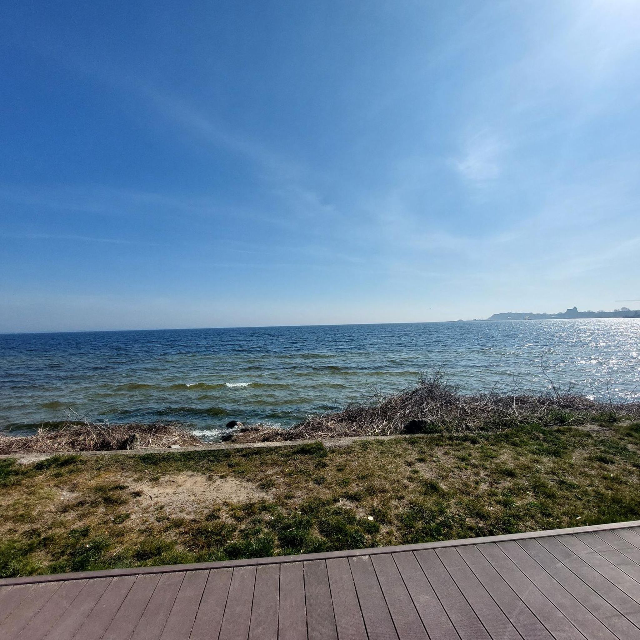
Lac de la Mouche is surrounded by forests and villages where you can admire views of the water and wildlife, as well as the impressive semi-viaduct dam that holds back the lake. The trail is easy and well marked, and you can access it all year round.
2
0
Frequently Asked Questions
How many hiking trails are available in Faverolles?
There are over 20 hiking trails around Faverolles, offering a variety of experiences. These include 6 easy routes, 13 moderate trails, and 2 more challenging options, ensuring there's something for every skill level.
What kind of landscapes can I expect to see while hiking in Faverolles?
The hiking trails in Faverolles traverse diverse landscapes. Depending on the specific Faverolles location, you might explore a mix of combes, forests, and plains, or gentle paths around lakes. Some areas feature open countryside with fields of wheat, barley, and rapeseed, while others delve into wilder gorges. You'll often find trails leading through woodlands and agricultural fields, offering varied natural scenery.
Are there any easy, family-friendly hikes in Faverolles?
Yes, Faverolles offers several easy routes perfect for families. A great option is the Tour du Lac de la Mouche, an easy 6.7 km (4.2 miles) trail that takes about 1 hour 45 minutes to complete, offering pleasant views of the lake. Another accessible choice is the Lake Mouche – Tufière de Saint-Ciergues loop from Perrancey-les-Vieux-Moulins, which is 7.2 km long and also rated easy.
Can I find more challenging hikes in the Faverolles area?
While many trails are moderate, some regions of Faverolles, particularly in Cantal, offer more challenging routes that delve into wilder areas like the Truyère gorges, known for significant distance and elevation gain. Within the main Faverolles hiking area, there are 2 trails rated as difficult, providing a more strenuous adventure for experienced hikers.
Are there any circular hiking routes in Faverolles?
Yes, many of the trails in Faverolles are designed as circular routes, allowing you to start and end at the same point. Popular circular options include the Tour du Lac de la Mouche, the Fort de la pointe de Diamant — loop from Humes, and the Carrier Shelter Ruins – The other side of the falls loop from Rolampont.
What natural attractions or landmarks can I discover on the trails?
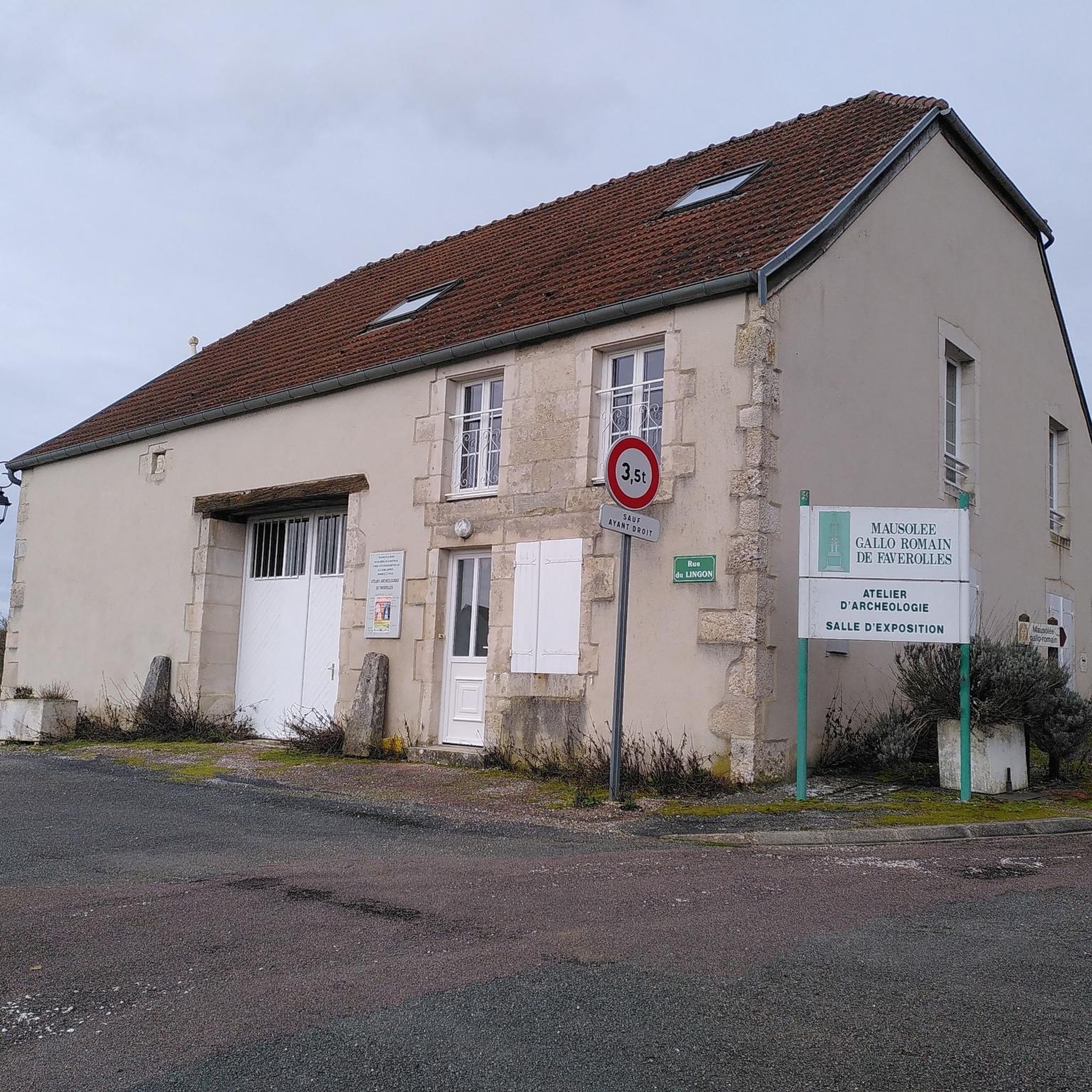
Hiking in Faverolles allows you to explore several interesting natural and historical sites. You can visit Lake Mouche, discover the unique geological formation of the Tufière de Saint-Ciergues, or see the Rolampont Tufière and Waterfall. Historical points of interest include the Gallo-Roman archaeological site of the Mausolée de Faverolles (in Haute-Marne) and the remnants of the Fort de la pointe de Diamant.
Are dogs allowed on the hiking trails in Faverolles?
Generally, dogs are welcome on many hiking trails in France, especially if kept on a leash. However, specific rules can vary by commune or protected natural area. It's always best to check local signage or the specific route details for any restrictions regarding dogs, particularly around nature reserves or private lands.
What is the best time of year to go hiking in Faverolles?
The best time to hike in Faverolles depends on your preferences. Spring offers vibrant floral displays with white anemones, yellow celandines, and blue bellflowers, especially in Eure-et-Loir, and pleasant temperatures. Summer is ideal for enjoying the lakes and forests, though some trails might be busier. Autumn brings beautiful foliage, while winter hiking options exist but require appropriate gear for potentially colder conditions.
How long do hikes in Faverolles typically take?
Hike durations in Faverolles vary significantly. Shorter, easy trails like the Tour du Lac de la Mouche can be completed in under 2 hours. Moderate routes, such as the Carrier Shelter Ruins – The other side of the falls loop from Rolampont, typically take around 3 hours 20 minutes. Longer, more challenging routes can extend to 5 hours or more, like the Fort de la pointe de Diamant — loop from Humes which takes about 4 hours 40 minutes.
What do other hikers say about the trails in Faverolles?
The hiking trails in Faverolles are highly regarded by the komoot community, with an impressive average rating of 4.8 out of 5 stars from over 60 reviews. Hikers often praise the varied terrain, the scenic lake views, and the interesting historical points along the routes. Many appreciate the well-maintained paths and the peaceful atmosphere.
Are there any trails with waterfalls or unique geological features?
Yes, the region is known for its unique geological formations. You can explore the active Tufière de Saint-Ciergues, a natural travertine formation, or visit the Rolampont Tufière and Waterfall. The Carrier Shelter Ruins – The other side of the falls loop from Rolampont specifically mentions 'the other side of the falls' in its name, indicating a route where you can experience these features.
Are there options for parking or public transport access to trailheads?
While specific parking and public transport details vary by individual trailhead, many hiking routes in Faverolles are accessible by car, with designated parking areas often available near popular starting points. For public transport, options might be more limited and depend on the specific commune of Faverolles you are visiting. It's advisable to check local transport schedules and route access points in advance for your chosen trail.
Most popular attractions around Faverolles

Get inspired with the komoot mobile app


Explore more
Browse the best Hikes in other regions.
