The best running trails around Burgsponheim
4.4
(431)
3,324
runners
251
runs
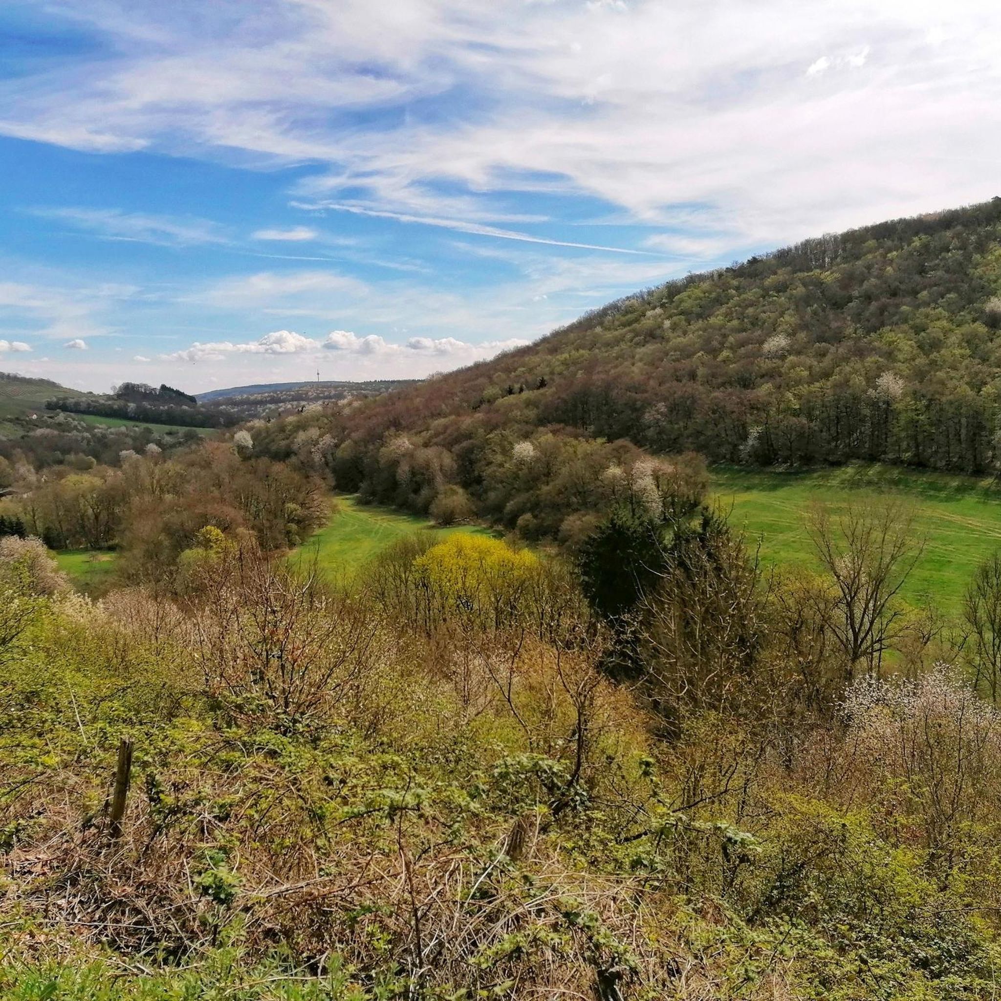
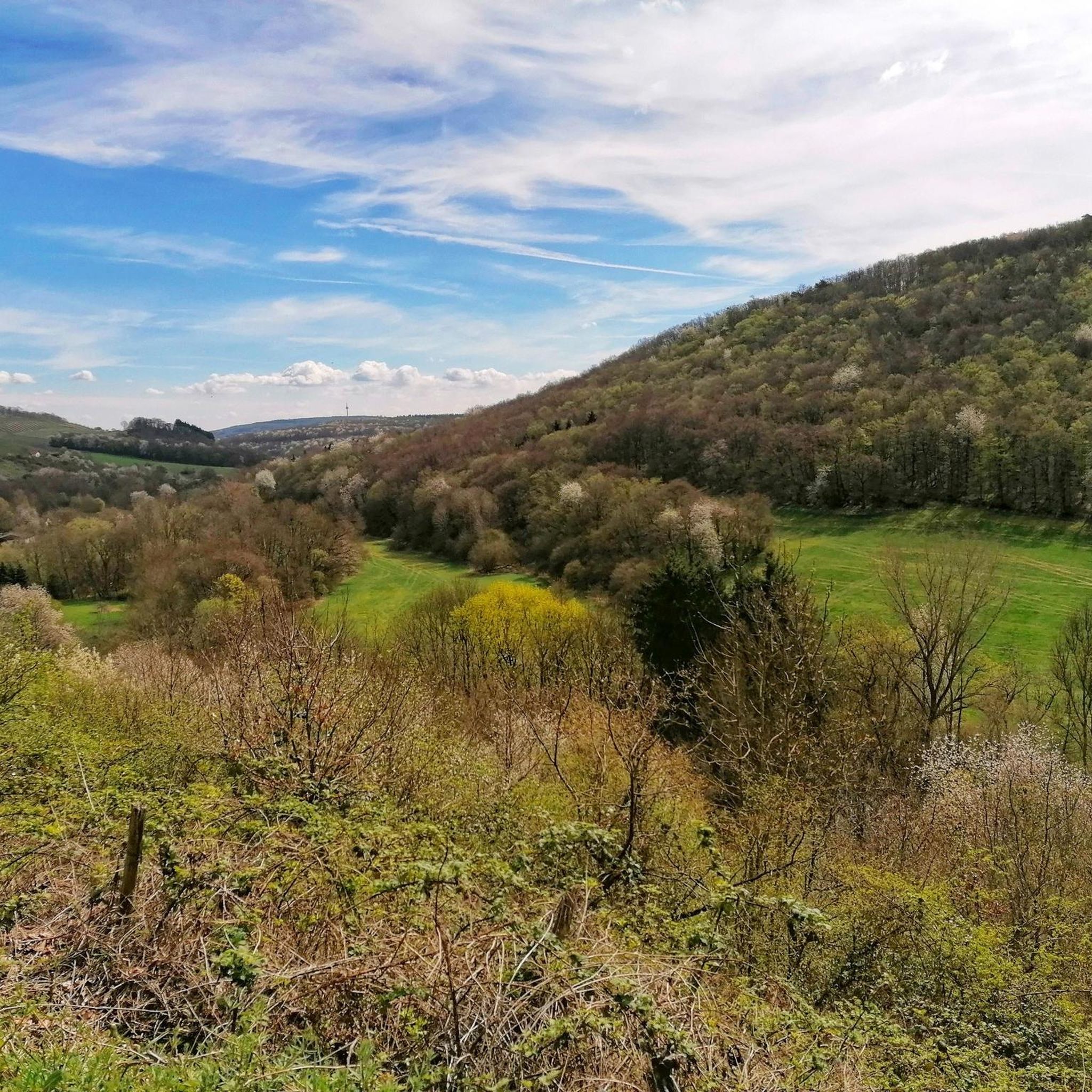
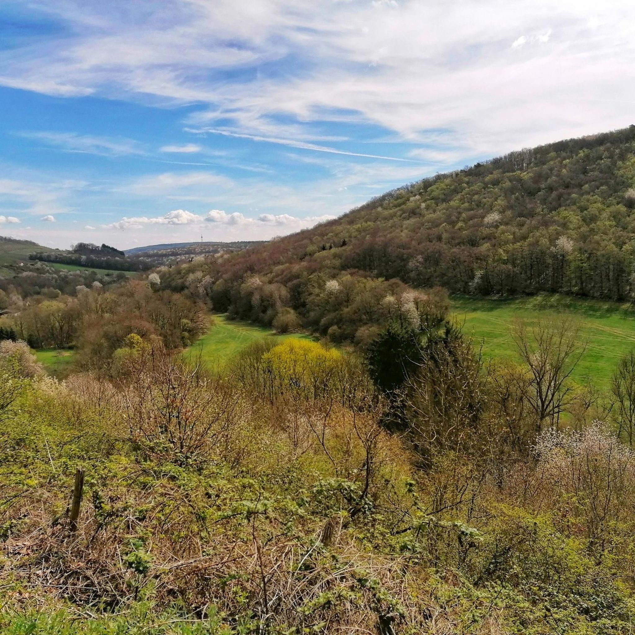
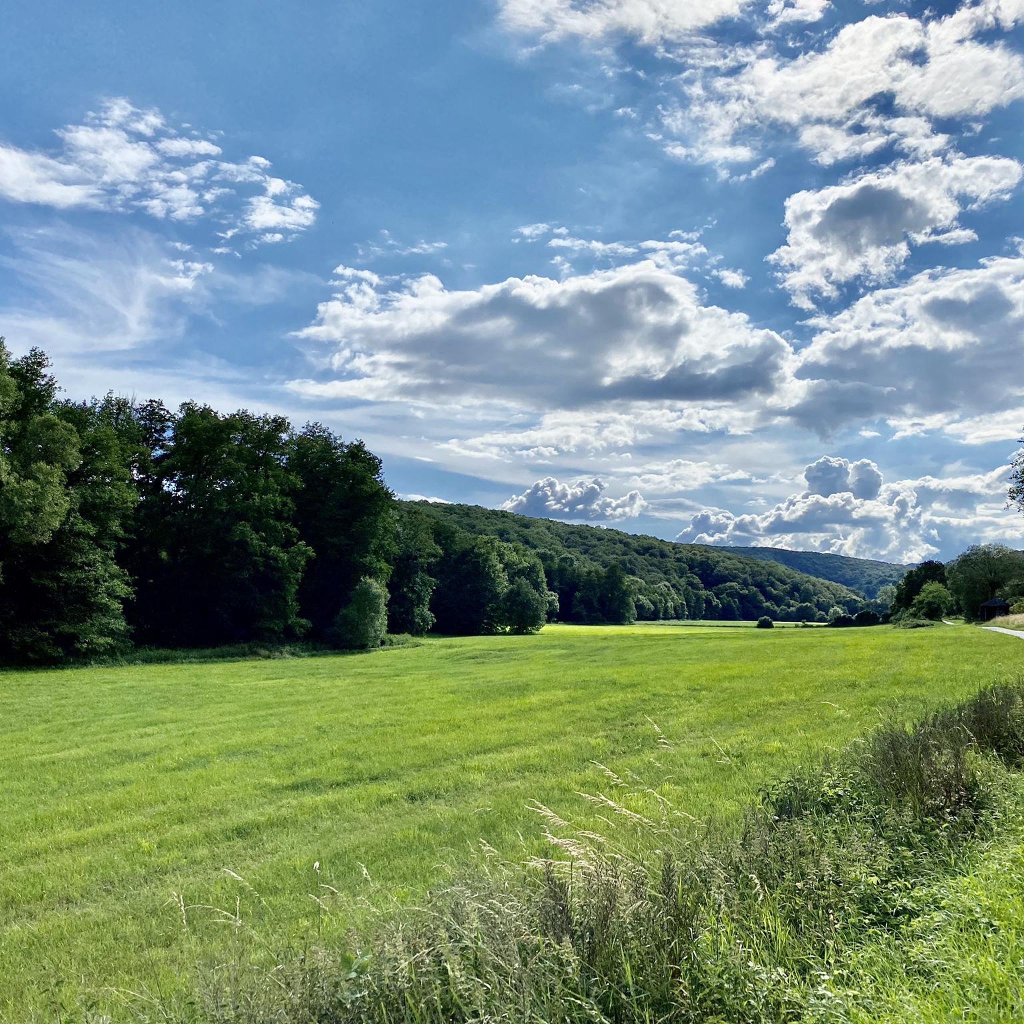
Jogging routes around Burgsponheim traverse a varied landscape featuring dense forests, open meadows, and rolling hills. This diverse terrain offers a range of experiences, from gentle paths to more challenging inclines. The region is characterized by its natural beauty, including views of the Nahe Valley and the surrounding Sponheimer Forest. Runners can explore paths that wind through vineyards and past historic sites, providing a blend of natural and cultural elements.
Best jogging routes around Burgsponheim
- The most popular jogging route…
Last updated: October 5, 2026
5.0
(2)
30
runners
Moderate run. Good fitness required. Mostly paved surfaces. Suitable for all skill levels.
15
runners
10.4km
01:15
260m
260m
Moderate run. Good fitness required. Mostly paved surfaces. Suitable for all skill levels.

5.0
(1)
10
runners
Moderate run. Good fitness required. Mostly paved surfaces. Suitable for all skill levels.
5.0
(2)
3
runners
Moderate run. Good fitness required. Mostly paved surfaces. Suitable for all skill levels.
3
runners
6.08km
00:41
130m
130m
Moderate run. Good fitness required. Mostly paved surfaces. Suitable for all skill levels.
Get access to more routes and recommendations from other explorers.
Already have an account?
Our route recommendations are based on thousands of hikes, rides, and runs completed by other people on komoot.
Start today with a free account
Your next adventure awaits.
Tips from the Community

Besides the thick oak tree, there is also a great wooden sculpture of a "plant woman", also known from the reverse of the German 50-pfennig coin.
1
0
Inconspicuously located on the road between Waldböckelheim and Marienpforter Hof.
2
0
The mountain church is the widely visible landmark of Waldböckelheim, built between 1863 and 1867.
3
0
Between Waldböckelheim and beyond Weinsheim, you can walk several kilometers parallel to the B41. The path is partly paved, but becomes gravel after the Sponheim junction. Coming from Waldböckelheim, you can, for example, turn right near Weinsheim/Warnamt and walk to the Heimberg Tower.
3
0

The Protestant church stands majestically high above Waldböckelheim, visible from afar.
0
0

Beautiful campsite with a restaurant in a rustic log cabin.
0
0
The cycle path leads directly through the campsite.
0
0

One of the many beautiful viewpoints along the hiking trail
1
0
Frequently Asked Questions
How many running routes are available around Burgsponheim?
There are over 260 running routes available around Burgsponheim, catering to various fitness levels. You'll find a diverse network of paths through forests, meadows, and rolling hills.
What are the best times of year for jogging in Burgsponheim?
The best seasons for jogging in Burgsponheim are spring and autumn. During these times, the mild climate and vibrant natural colors enhance the experience, making your run particularly enjoyable.
Are there running routes suitable for beginners or families in Burgsponheim?
Yes, Burgsponheim offers routes suitable for all fitness levels, including beginners and families. There are 19 easy routes, and options like the circular trail around the nearby Bärensee provide a relaxed, family-friendly environment. The 'Oak Avenue – Shelter loop' is also an easier option.
Can I find dog-friendly jogging trails in the Burgsponheim area?
Many of the natural trails and paths around Burgsponheim are suitable for jogging with dogs, especially those winding through dense forests and open meadows. It's always a good idea to keep your dog on a leash and be mindful of local regulations and other trail users.
What kind of scenery can I expect on jogging routes around Burgsponheim?
Jogging routes around Burgsponheim traverse a varied landscape featuring dense forests, open meadows, and rolling hills. You can expect scenic views of the Nahe Valley, the Sponheimer Forest, and paths winding through vineyards and past historic sites, offering a blend of natural beauty and cultural elements.
Are there any routes that offer historical sights or landmarks?
Yes, several routes combine exercise with historical sightseeing. For instance, the 'Burgsponheimer Grafenrunde' offers beautiful views of the town and the ruins of Burg Sponheim castle. The Protestant Mountain Church Waldböckelheim – Waldböckelheim Town Hall loop also passes by notable local landmarks.
Where can I find routes with panoramic views?
For panoramic views, consider routes that climb to higher elevations. The Heimberg Tower – View of the Nahe Valley loop from Waldböckelheim offers spectacular vistas across the Nahe Valley. The Hunsrück-Höhenweg, which passes through Burgsponheim, also provides expansive views of the surrounding landscape. You might also catch glimpses of the impressive Rotenfels Cliff in the broader region.
Are there many circular running routes in Burgsponheim?
Yes, many of the running routes around Burgsponheim are circular, offering convenient loop options. Examples include the popular Bärbel und Bär Campsite – View of the Sponheimer Forest loop and the Centuries-old Oak – H.G. Köhler Oak loop from Burgsponheim.
What do other runners say about the trails in Burgsponheim?
The running routes in Burgsponheim are highly rated by the komoot community, with an average score of 4.4 stars from over 300 reviews. Runners often praise the varied terrain, the blend of natural beauty and cultural elements, and the well-marked paths that make for an engaging experience.
Are there options for longer, more challenging runs?
Absolutely. While there are 178 moderate routes, Burgsponheim also offers 72 difficult routes for experienced runners seeking a challenge. Portions of the long-distance Hunsrück-Höhenweg provide spectacular views and more demanding terrain. The 'View of the Nahe Valley – View of Sponheim loop' is also described as a hard hike suitable for very fit trail runners.
Is parking available near the jogging trails?
Yes, parking is generally available near the starting points of many jogging trails in and around Burgsponheim. Specific parking information can often be found on individual route pages on komoot, or near popular trailheads in towns like Waldböckelheim and Bockenau.
Are there any specific natural features to look out for while running?
Beyond the general forests and meadows, you might encounter the impressive Rotenfels Cliff in the broader region, which is the highest rock face between the Alps and Scandinavia. The Sponheimer Weg also offers breathtaking views of the surrounding valley, and the Bärensee provides a pleasant lakeside environment.
Can I find routes that pass by lakes or water bodies?
Yes, for a more relaxed run or a family-friendly option, the circular trail around the nearby Bärensee (Bear Lake) offers an easily walkable path along the shore with views of clear water. While not directly in Burgsponheim, the Silver Lake (Lemberg Nature Reserve) is another beautiful water body in the vicinity.
Most popular routes around Burgsponheim
Most popular attractions around Burgsponheim

Get inspired with the komoot mobile app


Explore more
Browse the best Running Trails & Routes in other regions.
