The best MTB trails around Rogliano
4.5
(71)
360
riders
15
rides
Mountain bike trails around Rogliano are set amidst the sweeping hills of the Savuto Valley in Calabria, Southern Italy. The region is characterized by diverse landscapes, including cultivated orchards and vineyards, and serves as a gateway to the Sila National Park. This area features mountainous countryside, dense forests, and deep valleys, providing varied terrain for mountain biking. Natural features like Lake Arvo and the Tenuta Bocchineri natural oasis add to the scenic appeal for outdoor enthusiasts.
Best mountain bike trails around Rogliano
- The most popular mountain bike trail is Port of Macinaggio – Tollare Beach loop from Rogliano / Ruglianu, a 20.9 miles (33.7 km) trail that takes 3 hours 5 minutes to complete, offering a journey through varied coastal and inland landscapes.
- Another top favourite among local mountain bikers is Tollare Beach – Port of Macinaggio loop from Tomino / Tuminu, a difficult 34.1 miles (54.9 km) path. This route features significant elevation changes and expansive views across the rugged terrain.
- Local mountain bikers also love the Mattei Windmill – Serra Pass loop from Barcaggio, a 19.9 miles (32.1 km) trail leading through mountainous countryside, often completed in about 2 hours 33 minutes.
- Mountain biking around Rogliano is defined by sweeping hills, dense forests, and proximity to the Sila National Park. The network offers options for different ability levels, from moderate paths to more challenging routes.
- The routes in Rogliano are highly rated by the komoot community with an average score of 4.4 stars from around 80 reviews. More than 350 mountain bikers have used komoot to explore Rogliano's varied terrain.
Last updated: May 24, 2026
3.9
(17)
75
riders
34.0km
03:05
870m
870m
Moderate mountain bike ride. Good fitness required. Advanced riding skills necessary.
3.0
(4)
17
riders
29.9km
02:38
580m
580m
Hard mountain bike ride. Good fitness required. Advanced riding skills necessary. Some portions of the route may require you to push your bike.

Sign up for free
5.0
(2)
28
riders
42.4km
03:14
920m
920m
Hard mountain bike ride. Very good fitness required. Suitable for all skill levels.
4.4
(12)
42
riders
32.5km
02:34
810m
810m
Moderate mountain bike ride. Good fitness required. Suitable for all skill levels.
5.0
(2)
15
riders
26.6km
02:25
740m
740m
Moderate mountain bike ride. Good fitness required. Suitable for all skill levels.
Get access to more routes and recommendations from other explorers.
Sign up for free
Already have an account?
Our route recommendations are based on thousands of hikes, rides, and runs completed by other people on komoot.
Start today with a free account
Your next adventure awaits.
Login or Signup
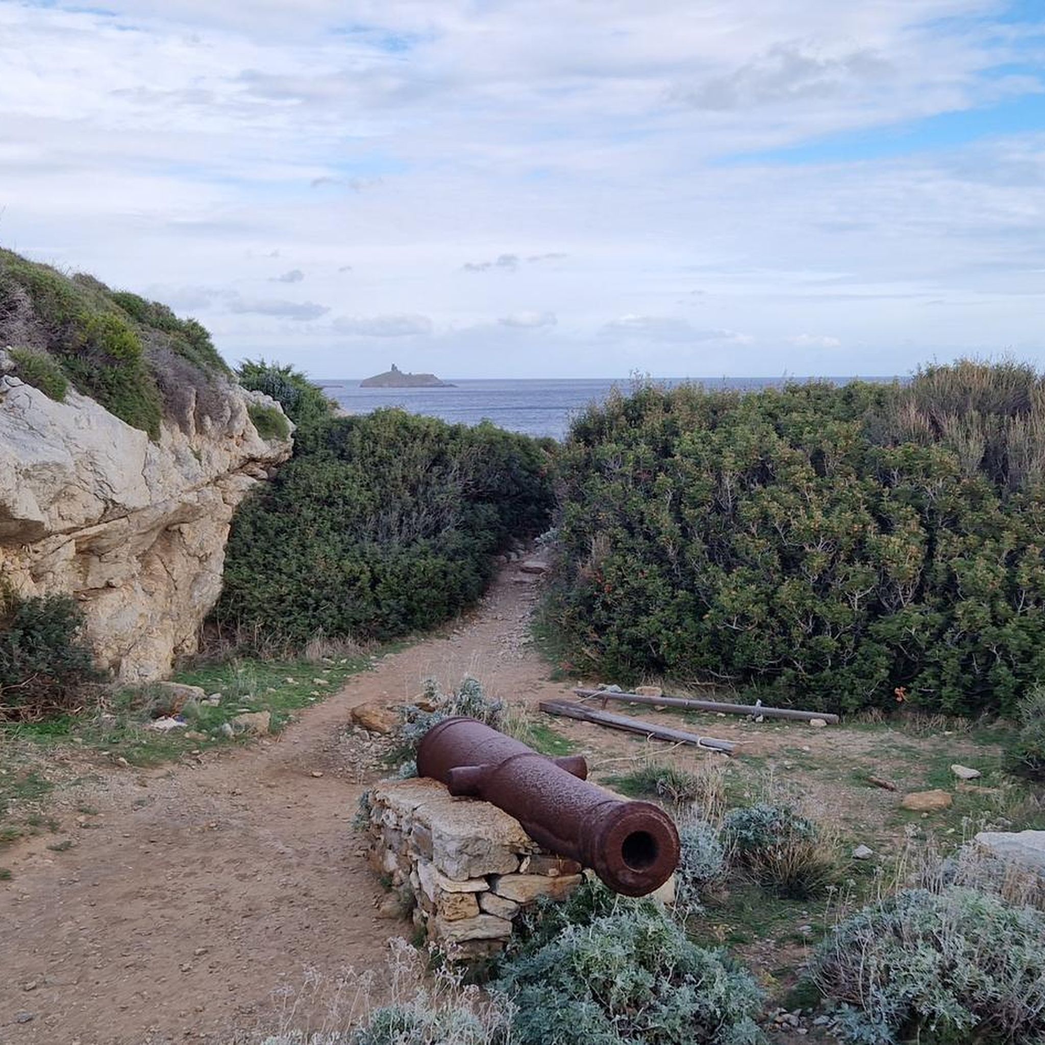
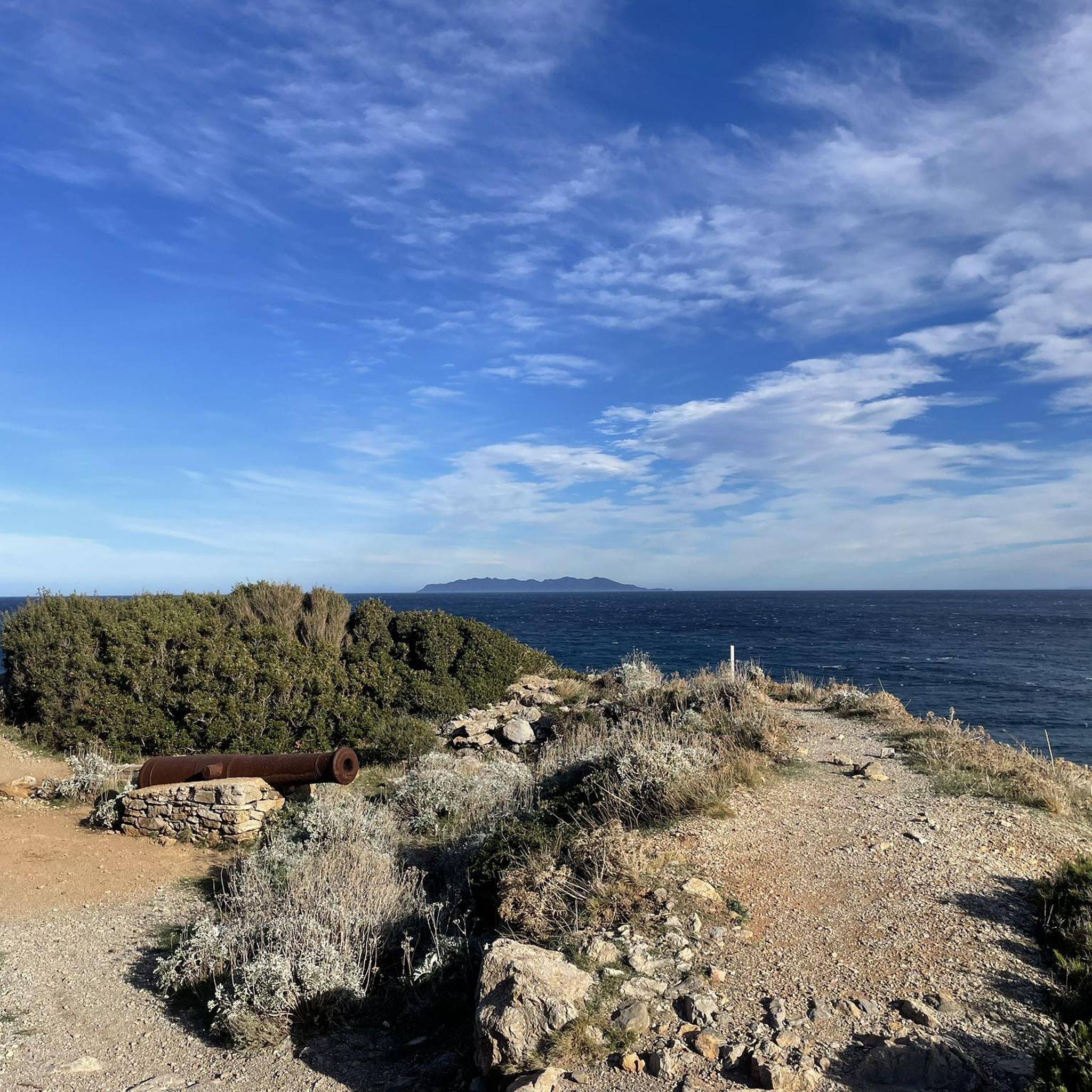
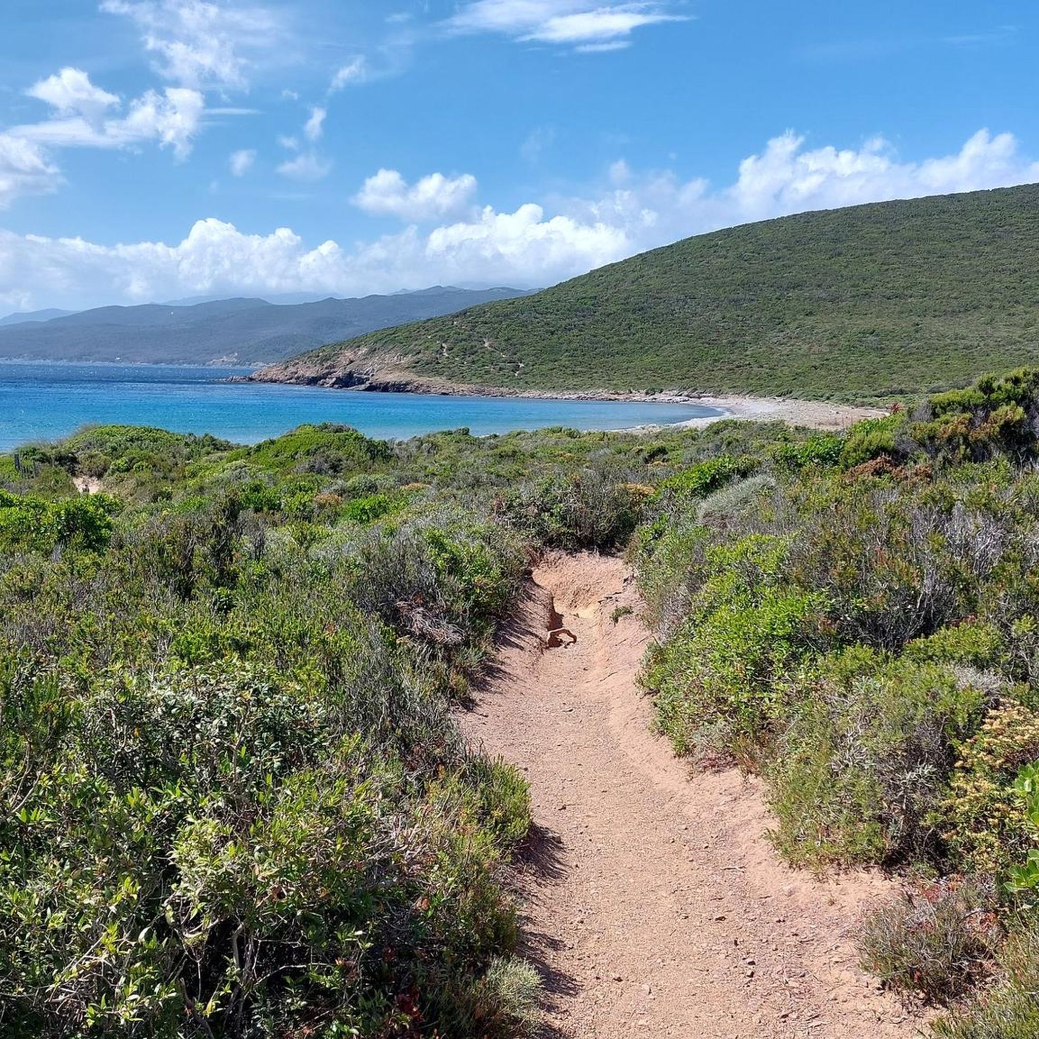
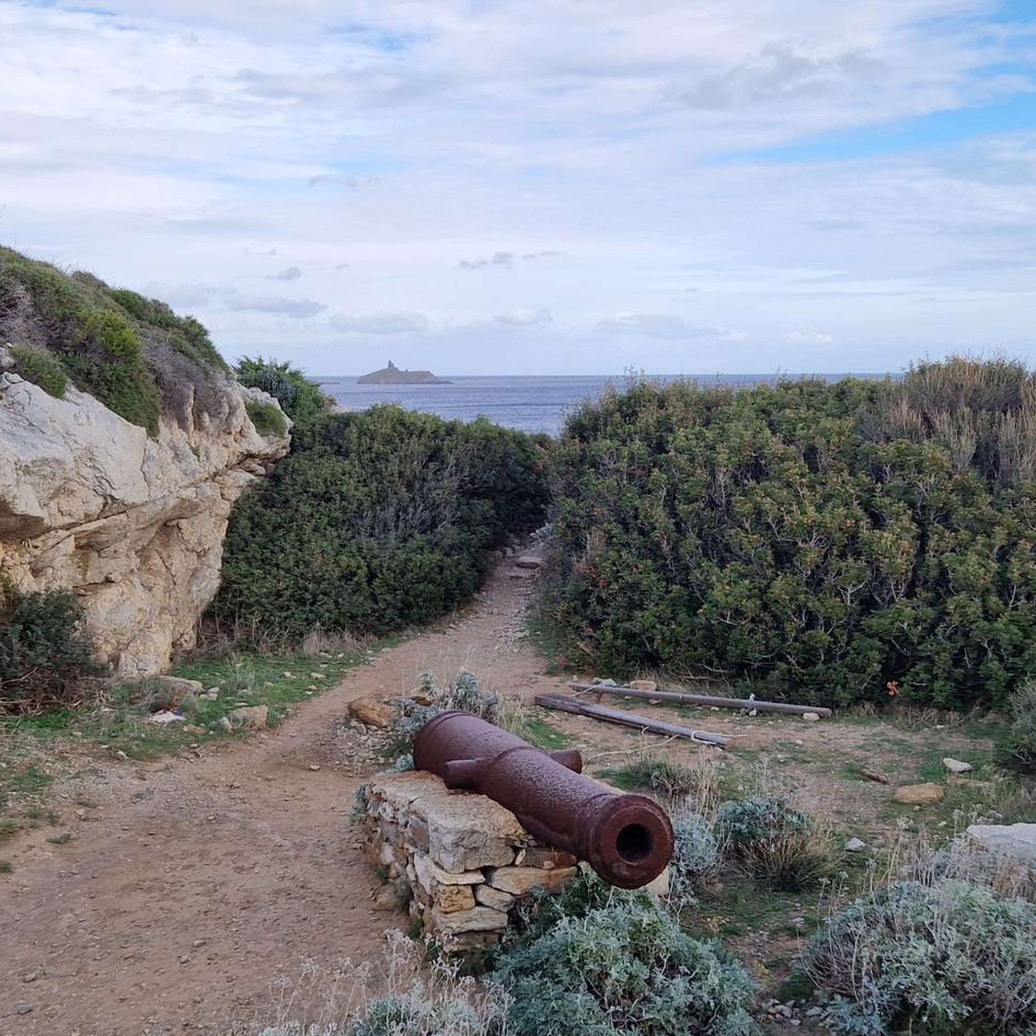
Tips from the Community

A very original tour that is worth the trip!
0
0

Great little harbor, very original.👍
0
0

It's super windy there. What a view
0
0
The fish in the washbasin look magnificent; the water must be great.
0
0

What a view from the Mattei mill, it's worth the climb.
0
0
A charming village that is definitely worth a visit.
0
0

Tamarone Beach is located on the east coast of Corsica near Macinaggio (municipality of Rogliano) and is considered one of the most beautiful, quiet beach destinations in Cap Corse. 🌊 Brief description: Nature & surroundings: Approximately 500 meters of fine sandy beach, framed by Mediterranean scrubland (maquis), pebble and rocky coves. The vegetation appears wild and untouched. Water & marine life: Crystal-clear turquoise water with good visibility – ideal for swimming, snorkeling, or sports activities such as paddleboarding and kitesurfing. Access: Accessible via a 2.5 km unpaved road by car or on foot via the "Sentier des Douaniers" (Customs Path) – accordingly, it is rather quiet and unspoiled. Services & infrastructure: Parking available, seasonal paillote (beach café) nearby. Several smaller, quieter coves are located nearby. Posidonia seagrass grows in places on the sand. In a nutshell: Tamarone is a protected sandy beach with fine sand and crystal-clear water, nestled in a wild coastal landscape. It impresses with its tranquil atmosphere and its direct location on the historic coastal path – perfect for anyone who wants to enjoy the unspoiled nature and the sea.
2
0

Well worth seeing. A half-collapsed tower.
0
0
Frequently Asked Questions
How many mountain bike trails are available around Rogliano?
There are over 10 mountain bike trails around Rogliano, offering a variety of experiences. The region is known for its sweeping hills, dense forests, and proximity to the Sila National Park, providing diverse terrain for riders.
What kind of terrain can I expect on mountain bike trails near Rogliano?
Mountain biking around Rogliano features diverse terrain, from cultivated orchards and vineyards in the Savuto Valley to mountainous countryside and dense forests leading towards the Sila National Park. You'll encounter sweeping hills and deep valleys, with routes ranging from moderate paths to more challenging ascents and descents.
Are there any family-friendly mountain bike trails in the Rogliano area?
While many routes offer a good challenge, the region, especially within the Sila National Park, provides trails suitable for various skill levels, including options that can be enjoyed by families. Look for routes with less elevation gain and smoother paths for a more relaxed experience.
Can I bring my dog on the mountain bike trails around Rogliano?
Many natural areas, including parts of the Sila National Park, are generally dog-friendly. However, it's always best to check specific trail regulations or park guidelines before heading out with your dog, especially regarding leash requirements and waste disposal.
What are some notable natural features or landmarks I might see while mountain biking near Rogliano?
The region boasts stunning natural features. You might encounter the serene Mattei Windmill near Serra Pass, or enjoy panoramic views from various points. The vast Sila National Park offers breathtaking scenery, and the Tamarone Beach is also a nearby point of interest.
Are there any circular mountain bike routes around Rogliano?
Yes, many of the mountain bike routes around Rogliano are designed as loops, allowing you to start and finish at the same point. For example, the moderate Port of Macinaggio – Tollare Beach loop from Rogliano / Ruglianu is a popular choice, as is the more challenging Tollare Beach – Port of Macinaggio loop from Tomino / Tuminu.
What is the best time of year to go mountain biking in Rogliano?
The region around Rogliano, including the Sila National Park, is generally pleasant for mountain biking from spring through autumn. The summer months offer warm weather, while spring and autumn provide milder temperatures and vibrant natural colors. Winter can bring colder conditions and snow, especially at higher elevations within the Sila.
What do other mountain bikers say about the trails in Rogliano?
The mountain bike trails around Rogliano are highly rated by the komoot community, with an average score of 4.4 stars from around 80 reviews. Riders often praise the varied terrain, the beautiful mountainous countryside, and the immersive experience within the dense forests.
Are there any less crowded mountain bike trails near Rogliano?
Given the extensive network of trails, particularly within the vast Sila National Park, it's possible to find less crowded routes. Exploring trails slightly off the main popular paths or visiting during off-peak seasons can offer a more solitary riding experience amidst the pristine nature.
Where can I find parking for mountain bike trails in Rogliano?
Specific parking information varies by trail start point. However, as Rogliano is a gateway to the Sila National Park, you can typically find parking facilities near trailheads or in villages that serve as access points to the park's extensive network. It's advisable to check the starting point of your chosen route for detailed parking options.
Are there any cafes or places to eat near the mountain bike trails?
Rogliano itself, and other villages surrounding the Sila National Park, offer various cafes and eateries where you can refuel. While some trails might lead through more remote areas, planning your route to pass through or near these towns will ensure you have access to refreshments.
How long do mountain bike trails typically take around Rogliano?
Trail durations vary significantly based on distance and difficulty. For instance, a moderate route like the Mattei Windmill – Serra Pass loop from Barcaggio typically takes about 2 hours 33 minutes, while a longer, more difficult trail such as the Tollare Beach – Port of Macinaggio loop from Tomino / Tuminu can take over 4 hours.
Most popular attractions around Rogliano

Get inspired with the komoot mobile app


Explore more
Browse the best MTB trails in other regions.
