The best running trails around Welschenbach
4.4
(134)
1,949
runners
150
runs
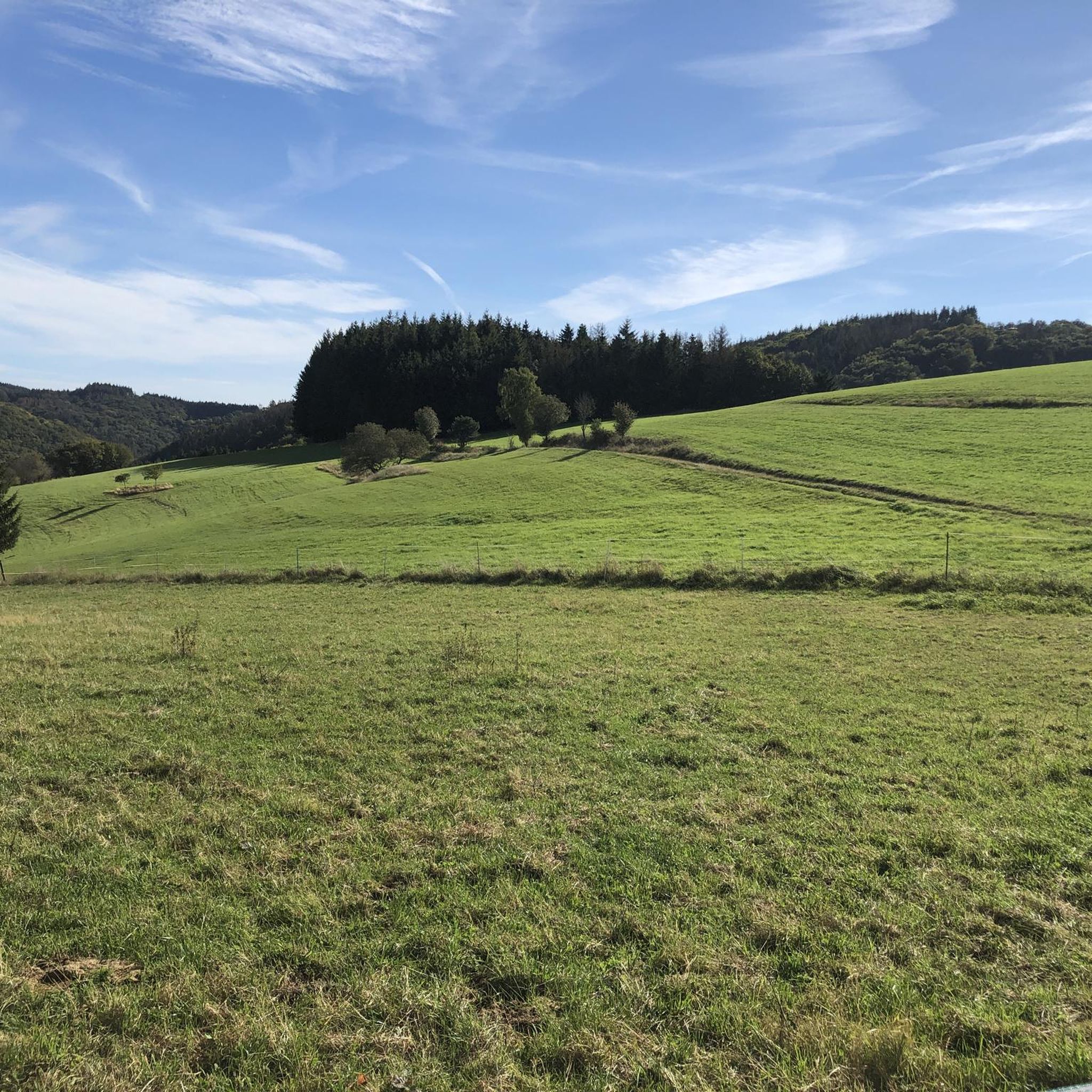
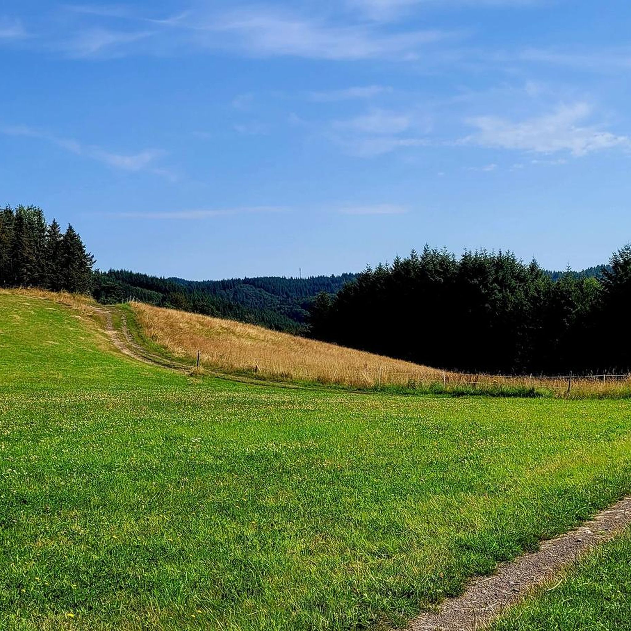
Jogging routes around Welschenbach, located in the Mayen-Koblenz region of western Germany, traverse a landscape characterized by rolling hills, lush green valleys, and wide meadows. The region features tranquil valleys with bubbling streams and unique juniper and broom heaths, offering diverse terrain for runners. Situated on the edge of the Eifelsteig trail, Welschenbach provides access to a network of paths suitable for various running experiences.
Best jogging routes around Welschenbach
- The most popular jogging route is Forest Path in Rhein-Ahr-Eifel…
Last updated: July 10, 2026
4.0
(1)
12
runners
6.15km
00:41
120m
120m
Moderate run. Good fitness required. Mostly paved surfaces. Suitable for all skill levels.
5.0
(1)
8
runners
8.41km
00:59
150m
150m
Moderate run. Good fitness required. Mostly paved surfaces. Suitable for all skill levels.

Sign up for free
3.0
(1)
5
runners
10.9km
01:19
270m
270m
Moderate run. Good fitness required. Mostly paved surfaces. Suitable for all skill levels.
3
runners
13.5km
01:30
230m
230m
Moderate run. Good fitness required. Mostly paved surfaces. Suitable for all skill levels.
1
runners
9.37km
01:05
250m
250m
Moderate run. Good fitness required. Mostly paved surfaces. Suitable for all skill levels.
Get access to more routes and recommendations from other explorers.
Sign up for free
Already have an account?
Our route recommendations are based on thousands of hikes, rides, and runs completed by other people on komoot.
Start today with a free account
Your next adventure awaits.
Login or Signup
Tips from the Community

Franky, you can do that, of course. Otherwise it wouldn't be any more 🤪🤣😂
1
0

The Kamalahila Institute is not a monastery in the traditional sense, but rather a center for Buddhist studies and meditation. Since 1999, it has served as the European residence of His Holiness (spiritual leader of the Karma Kagyu tradition of Tibetan Buddhism) and offers a variety of seminars and courses on topics such as Buddhism, meditation, mindfulness, and stress management. Although the institute is housed in a former Christian monastery, it now functions as an educational and meeting center. The institute is home to two resident lamas who lead daily meditations and offer various courses. Source: https://kamalashila.de
0
0

Great, old fountain on the pilgrimage route. And usable for drinking water.
1
0

The parish church of St. Valerius was built in the 13th century as a Romanesque church and expanded in the Gothic architectural style. It has a beautiful altar and ceiling paintings in the canopy.
1
0
Beautiful view of St. Valerius from Wanderath.
1
0
The Judokusweg leads from Langenfeld to Niederwelschenbach and via the pilgrimage stations “Black Madonna” and Judokusbrunnen through the Achterbachtal to the pilgrimage church of St. Jost and back to Langenfeld.
1
1
The Judokusweg leads from Langenfeld to Niederwelschenbach and via the pilgrimage stations “Black Madonna” and Judokusbrunnen through the Achterbachtal to the pilgrimage church of St. Jost and back to Langenfeld.
1
0
Frequently Asked Questions
How many running routes are available around Welschenbach?
Welschenbach offers a wide selection of running trails, with over 140 routes available for you to explore. This includes a variety of options suitable for different fitness levels.
What kind of terrain can I expect on the jogging trails in Welschenbach?
The running routes around Welschenbach traverse diverse landscapes, including rolling hills, lush green valleys, and wide meadows. You'll encounter tranquil valleys with bubbling streams, unique juniper and broom heaths, and varied forest paths. The region is also on the edge of the Eifelsteig trail, indicating a well-developed network of paths.
Are there running routes suitable for beginners in Welschenbach?
Yes, Welschenbach has several easy running paths perfect for beginners or those looking for a more relaxed pace. There are 19 routes classified as easy, often found along flatter sections like the banks of the River Nette.
Can I find challenging running trails in the Welschenbach area?
Absolutely. For experienced runners seeking a challenge, there are 20 difficult routes available. These often feature more significant ascents, such as those leading towards the Hohe Acht, the highest elevation in the Eifel, offering rewarding panoramic views.
Are the running trails in Welschenbach dog-friendly?
While specific regulations can vary, generally, dogs are welcome on trails in the Welschenbach region, provided they are kept on a leash and owners clean up after them. It's always a good idea to check local signage for any specific restrictions on certain paths.
What are some scenic viewpoints or natural attractions I can see while running?
Many running routes offer stunning views and pass by natural attractions. You might encounter the impressive Laacher See with its turquoise-blue waters, or sections of the Nitzbach valley leading to historical sites like the Virneburg ruins. The View of the Booser Double Maar is another notable natural monument in the area.
Are there any circular running routes around Welschenbach?
Yes, many of the running routes in Welschenbach are designed as circular paths, allowing you to start and finish at the same point. For example, the popular Albertsblick – View of Langenfeld loop from Arft is a moderate 7.1 km circular trail.
What do other runners enjoy most about jogging in Welschenbach?
The running routes in Welschenbach are highly rated by the komoot community, with an average score of 4.4 stars from over 130 reviews. Runners often praise the varied terrain, the tranquility of the valleys, and the well-maintained paths that cater to different ability levels.
What is the best time of year to go running in Welschenbach?
The region truly comes alive in spring with blooming wildflowers and in autumn with vibrant foliage. These seasons are particularly pleasant for outdoor activities due to mild temperatures and stunning natural beauty, making them ideal for running.
Are there any running routes that pass by historical sites?
Yes, some routes incorporate historical elements. For instance, sections of the Jodokus pilgrimage path wind through diverse natural settings, and trails through the Nitzbach valley can lead to historical sites like the Virneburg ruins.
Can I find running routes near water in Welschenbach?
Absolutely. The idyllic River Nette flows through the village, and its banks provide relatively flat routes perfect for leisurely jogs. Additionally, the impressive Laacher See offers stunning lakeside running opportunities.
Are there any long-distance running options or connections to larger trail networks?
Welschenbach is situated on the edge of the Eifelsteig trail, a renowned long-distance hiking route. This provides access to an extensive network of paths that can be incorporated into longer running experiences, offering varied terrain and scenic views.
Most popular routes around Welschenbach
Most popular attractions around Welschenbach

Get inspired with the komoot mobile app


Explore more
Browse the best Running Trails & Routes in other regions.
