The best running trails around Vallendar
4.2
(78)
1,313
runners
21
runs
Jogging around Vallendar offers diverse terrain along the Rhine River, through forested hills, and past vineyards. The region is characterized by its riverside paths, varied elevations, and proximity to natural areas like the Mallendarer Bachtal and the Westerwald. These features provide a range of running experiences, from flat riverbank routes to more challenging trails with elevation changes.
Best jogging routes around Vallendar
- The most popular jogging route is Niederwerth Island – View of the island of Niederwerth (right) loop from…
Last updated: October 4, 2026
4.9
(29)
404
runners
Moderate run. Good fitness required. Mostly paved surfaces. Suitable for all skill levels.
4.7
(3)
205
runners
8.87km
00:56
60m
60m
Moderate run. Good fitness required. Mostly paved surfaces. Suitable for all skill levels.

3.8
(8)
130
runners
12.2km
01:18
190m
190m
Moderate run. Good fitness required. Mostly paved surfaces. Suitable for all skill levels.
4.3
(3)
127
runners
Hard run. Very good fitness required. Mostly paved surfaces. Suitable for all skill levels.
41
runners
11.5km
01:17
230m
230m
Moderate run. Good fitness required. Mostly paved surfaces. Suitable for all skill levels.
Get access to more routes and recommendations from other explorers.
Already have an account?
Our route recommendations are based on thousands of hikes, rides, and runs completed by other people on komoot.
Start today with a free account
Your next adventure awaits.
Popular around Vallendar
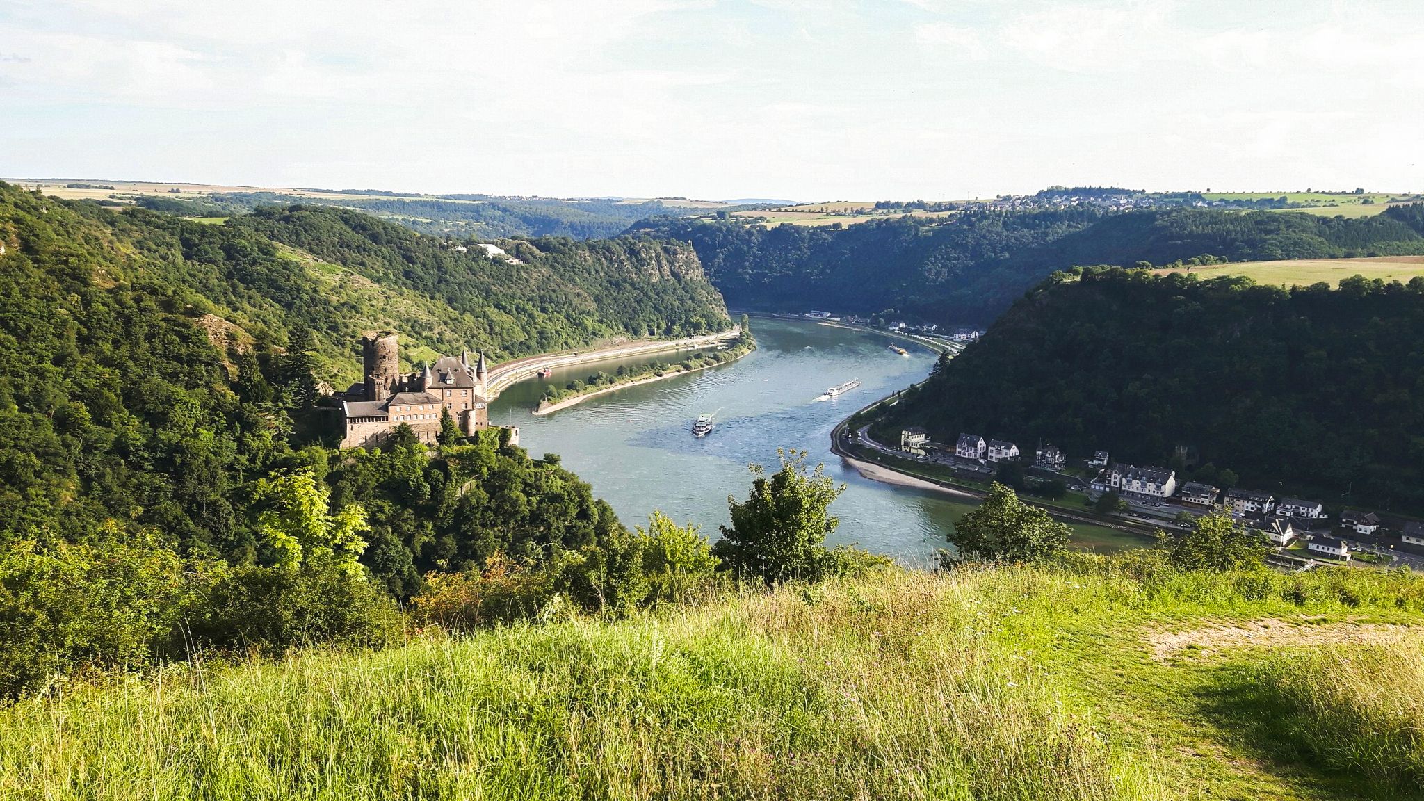
Rheinsteig Trail – The 21 stages along the Rhine
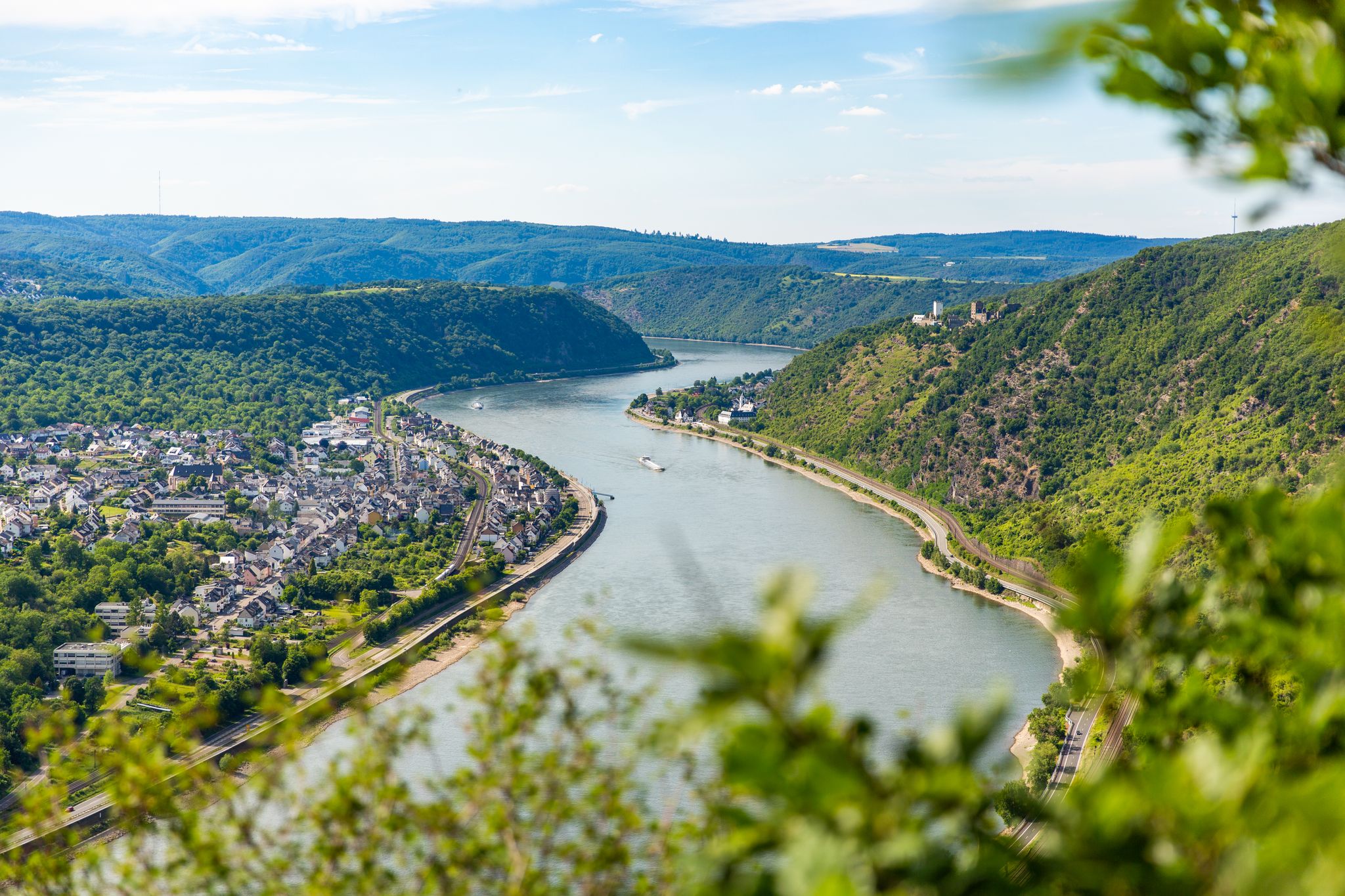
Up and down along the Rhine – adventure on the Rheinsteig
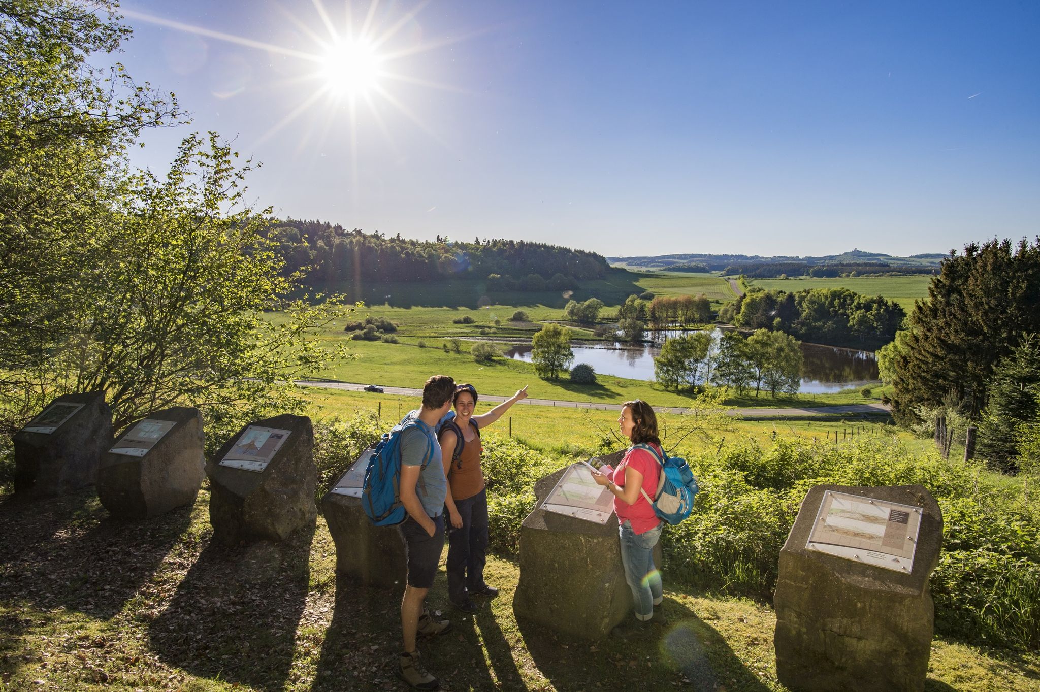
Traumpfade – dreamy, varied hiking trails in Rhein-Mosel-Eifel-Land
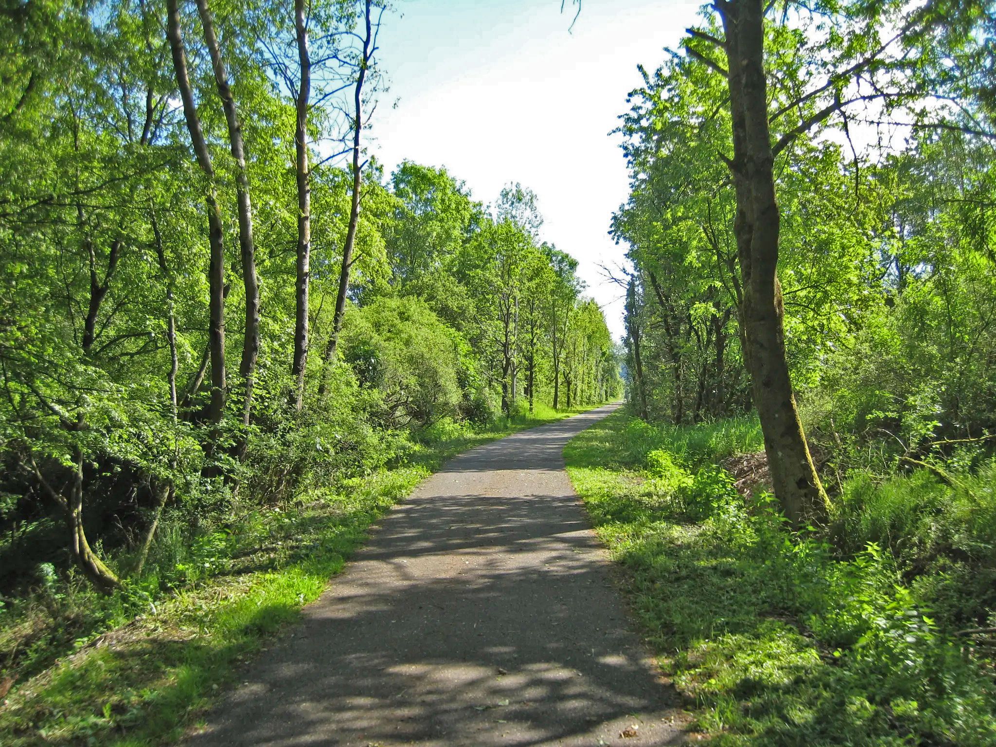
On the Westerwald-Rhein cycle route from the Rhine valley to Hesse
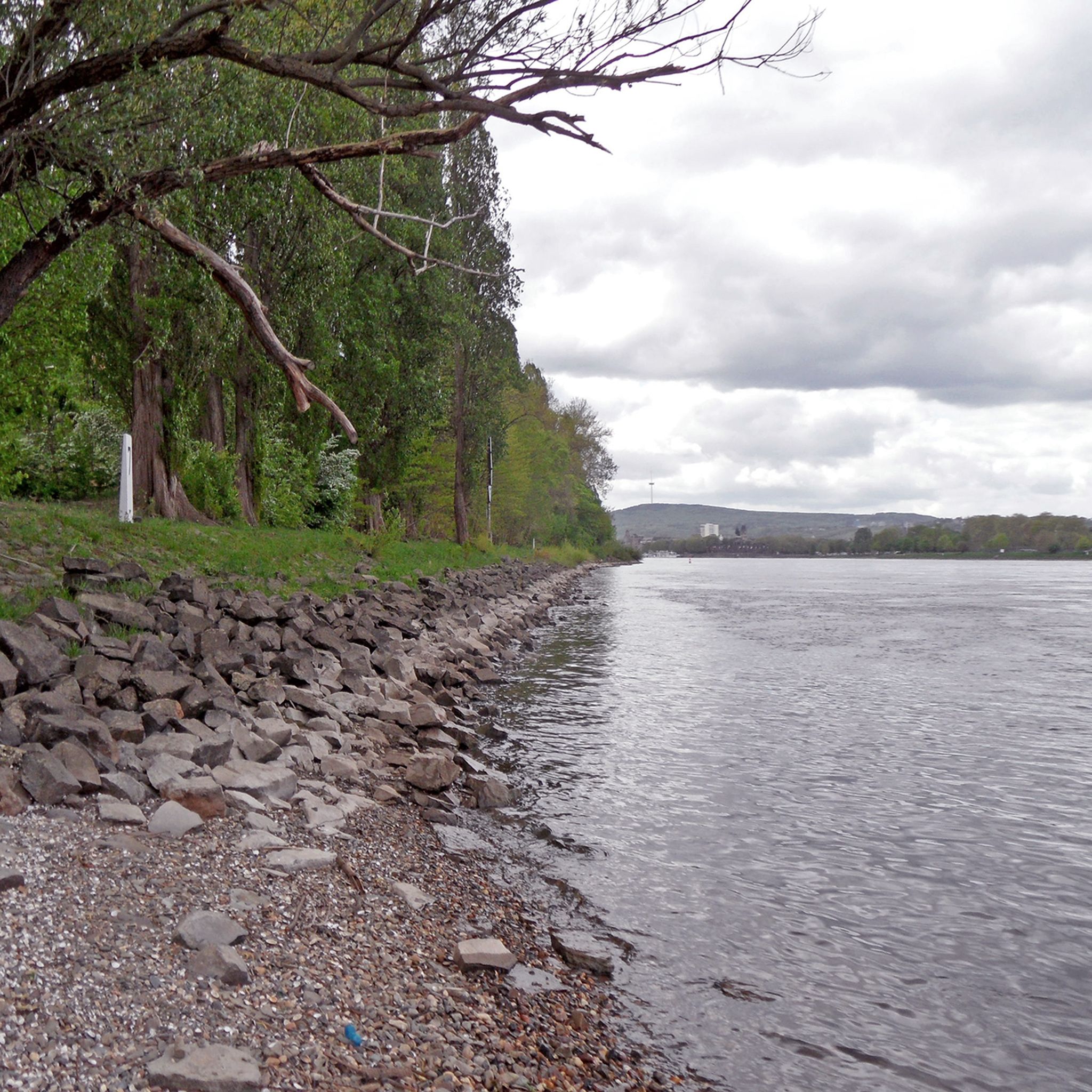
Hiking around Vallendar
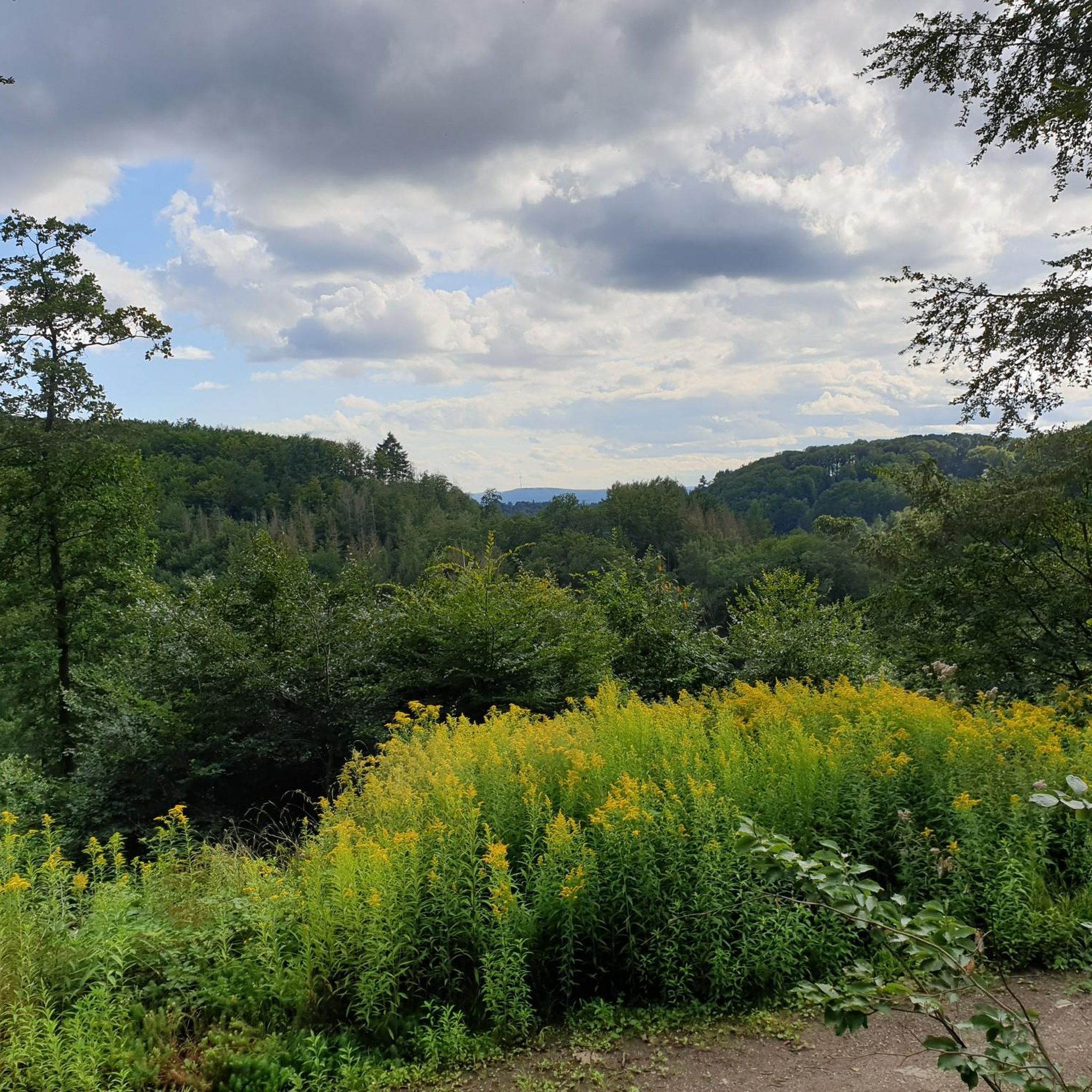
Cycling around Vallendar
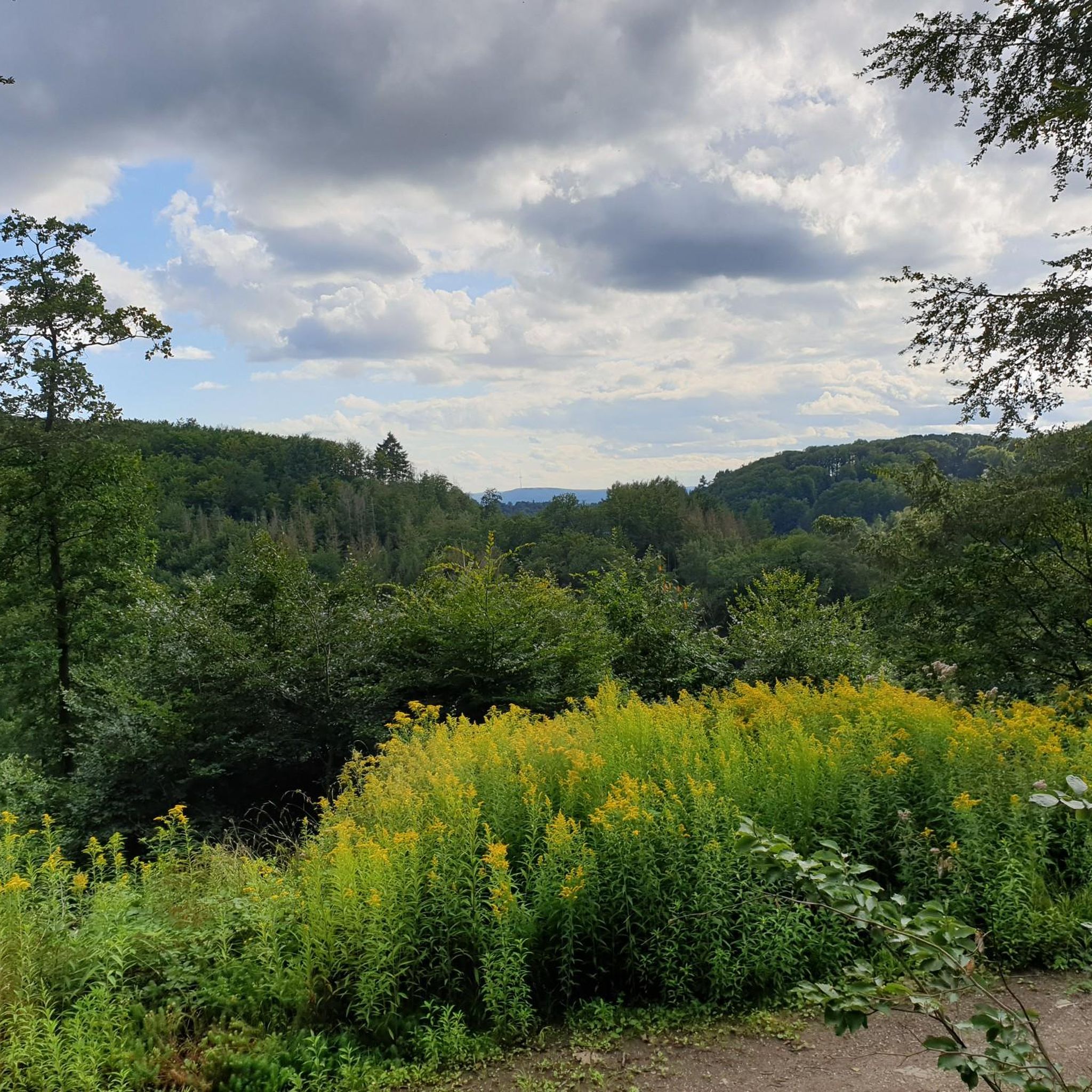
Road Cycling Routes around Vallendar
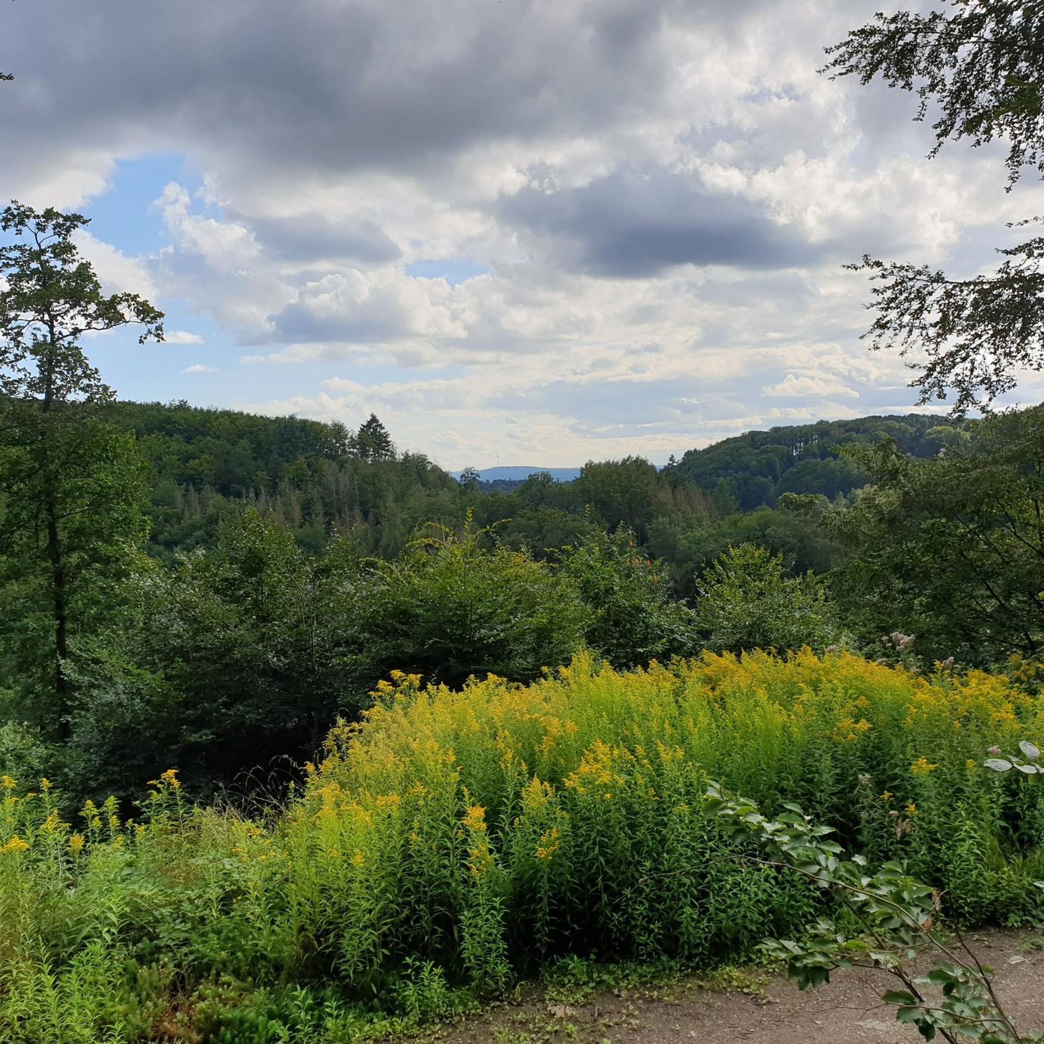
MTB Trails around Vallendar
Gravel biking around Vallendar
Other adventures around Vallendar


Tips from the Community

Cable car above the German Corner
0
0

from the German corner there is still a little stretch of great cycle path
0
0

The Koblenz cable car is an impressive cable car that lets you float comfortably over the Rhine. 🚡 It connects the Konrad-Adenauer-Ufer with the Ehrenbreitstein Fortress, a historic site with over 2000 years of history.
0
0

Excellent for all types of consistent, flat runs. Also nice and wide with great views.
0
0
Here you can go for a walk in the dark thanks to the streetlights. A great alternative in winter!
0
0

Unfortunately, it's not lit for running in the dark, but it's a good trail with great views. However, there are few opportunities to reach the road leading up until beyond Urbar.
0
0

It's always nice and cool there in the summer afternoons. Ideal for running.
0
0
Frequently Asked Questions
What kind of terrain can I expect on the running routes around Vallendar?
Vallendar offers a diverse range of running terrain. You'll find flat, consistent paths along the Rhine River, as well as more challenging routes through forested hills and vineyards. Areas like the Mallendarer Bachtal provide beautiful trails with varied elevations, offering something for every preference.
Are there running routes suitable for families or beginners in Vallendar?
Yes, Vallendar has options for all skill levels. There are 3 easy routes perfect for families or those new to running. These often include the flatter sections along the Rhine River. A good example of an easy route is the Running loop from Vallendar, which is just over 3.7 km.
Can I bring my dog on the running trails in Vallendar?
Many of the natural paths and trails around Vallendar are suitable for running with dogs, especially those away from busy urban areas. The forested sections and paths through the Mallendarer Bachtal or towards the Westerwald are generally dog-friendly. Always ensure your dog is on a leash where required and respect local regulations.
What are some notable landmarks or viewpoints I can see while jogging in Vallendar?
Vallendar's running routes offer fantastic views and pass by significant landmarks. You can enjoy views of Niederwerth Island along the Rhine, or explore routes that include historical sites like the Ehrenbreitstein Fortress. Longer runs might even take you past the Empress Augusta Monument, offering impressive vistas of the Rhine valley.
Are there any circular running routes available in Vallendar?
Yes, many of the running routes in Vallendar are designed as loops, allowing you to start and finish in the same location. Popular circular options include the Niederwerth Island loop and the Parkrun Grabenstein – Ehrenbreitstein Fortress loop, providing convenient and scenic experiences.
What are the more challenging running options around Vallendar?
For runners seeking a greater challenge, Vallendar offers 3 difficult routes with significant elevation gain. These trails often venture into the surrounding hills and forests, providing a more strenuous workout and rewarding views. The Empress Augusta Monument loop, for example, features notable ascents.
How accessible are the running routes by public transport in Vallendar?
Vallendar is well-connected, and many running routes are accessible from the town center, which is served by public transport. The riverside paths are often a short walk from bus stops or the train station. For routes further afield, checking local bus schedules can help you reach trailheads conveniently.
Is parking available near the running trails in Vallendar?
Yes, parking is generally available in and around Vallendar, particularly near popular starting points for trails. While specific parking details vary by route, you can often find public parking areas in the town center or designated spots closer to the river and trail entrances. It's advisable to check local signage for any restrictions.
What do other runners say about the jogging experience in Vallendar?
The running routes in Vallendar are highly regarded by the komoot community, boasting an average score of 4.4 stars from over 30 reviews. Runners often praise the diverse scenery, from the calming Rhine riverside to the challenging forest trails, and the well-maintained paths that cater to various fitness levels.
Are there any natural features like lakes or caves near the running routes?
While jogging, you might find yourself near some interesting natural features. The region around Vallendar includes several small lakes such as Landshuber Pond and Silver Lake. There are also unique geological formations like the Heinzelmann Caves, offering additional points of interest for exploration.
What is the best time of year to go running in Vallendar?
Vallendar offers great running opportunities year-round. Spring and autumn provide pleasant temperatures and beautiful scenery with changing foliage. Summer is ideal for early morning or late evening runs along the cooler riverside paths. Even in winter, portions of the Rhine path in nearby Koblenz are lit, suggesting good conditions for daytime runs in Vallendar, especially on clear days.
How many running routes are available in total around Vallendar?
There are 18 running routes documented around Vallendar on komoot, offering a wide selection for runners. This includes a mix of easy, moderate, and difficult trails, ensuring there's always a new path to explore.
Most popular attractions around Vallendar

Get inspired with the komoot mobile app


Explore more
Browse the best Running Trails & Routes in other regions.
