The best walks and hikes around Sainte-Nathalène
4.3
(865)
3,813
hikers
14
hikes
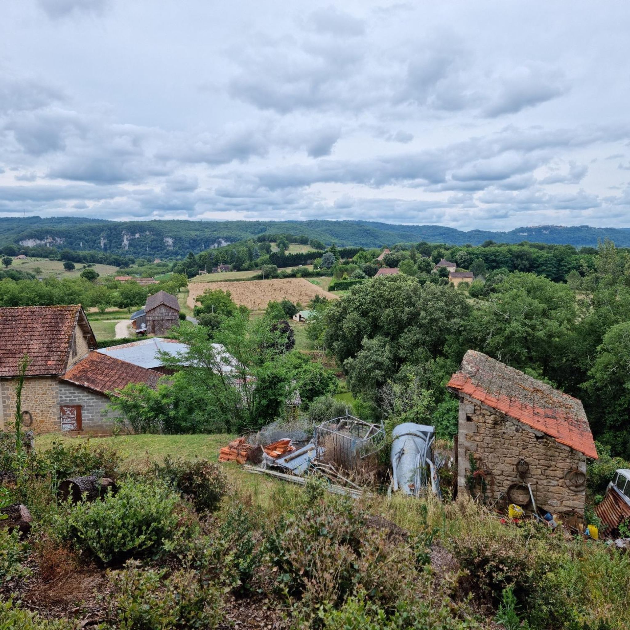
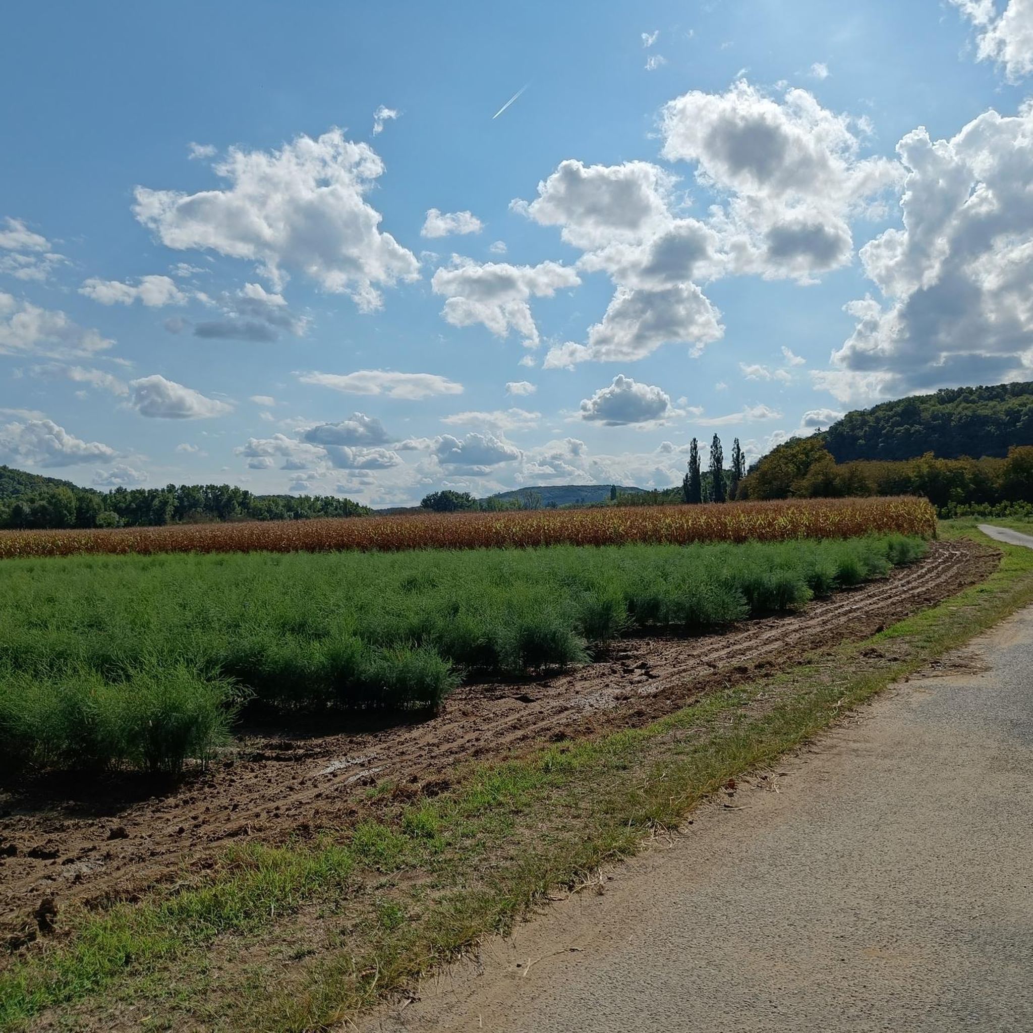
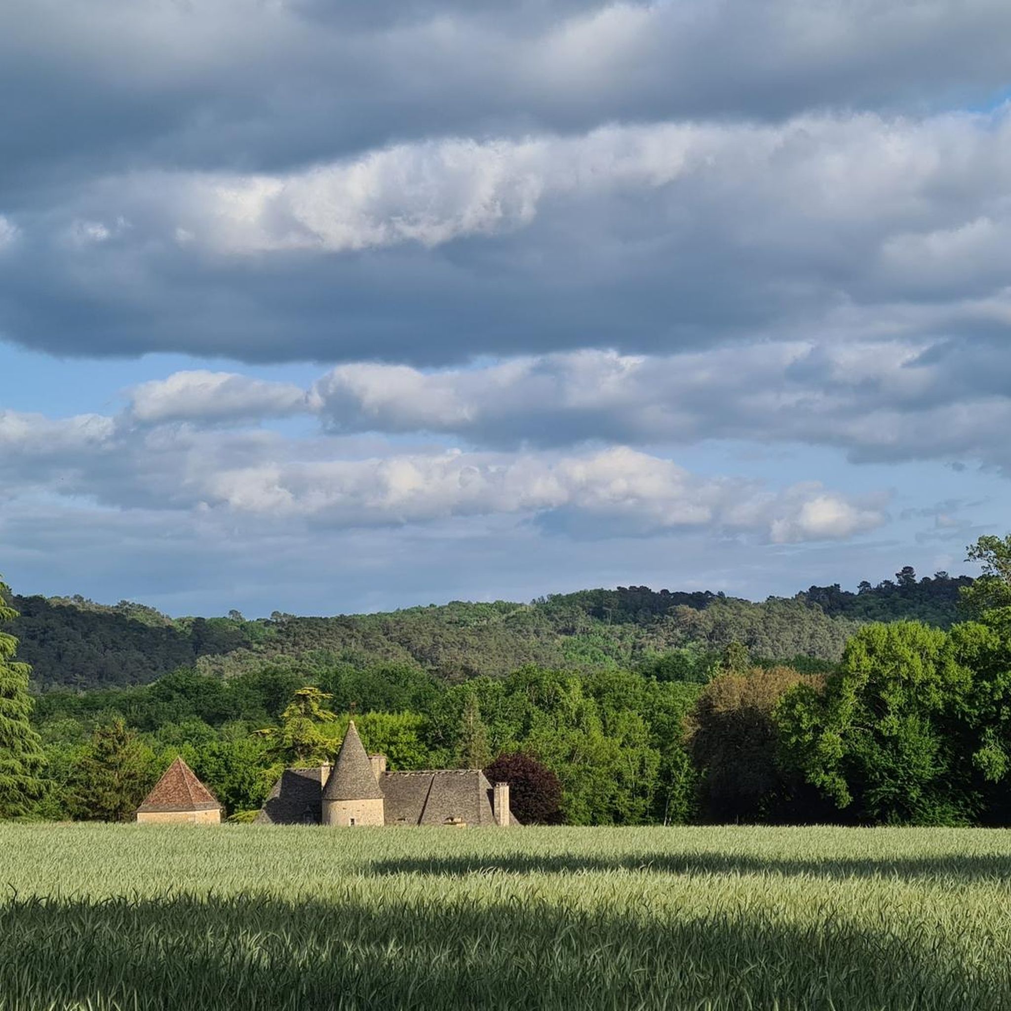
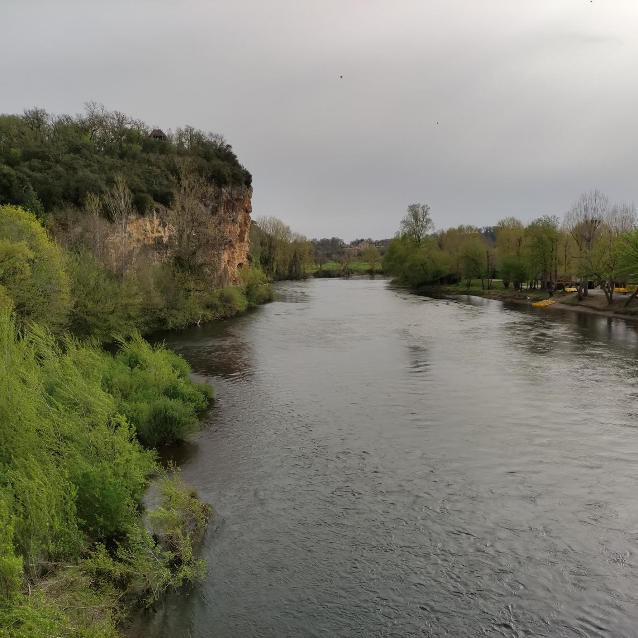
Hiking around Sainte-Nathalène offers diverse terrain, characterized by rolling hills, lush valleys, dense woods, and expansive fields within the Dordogne department. The region features limestone hillsides and traditional Périgord landscapes with dark oak forests. The Énéa river, a tributary of the Dordogne, contributes to the area's natural features, providing varied environments for outdoor activities.
Best hiking trails around Sainte-Nathalène
- The most popular hiking route is Beautiful church – Old castle loop from Sainte-Nathalène, a 9.1 miles (14.6 km) trail…
Last updated: June 25, 2026
4.8
(5)
41
hikers
14.6km
03:58
200m
200m
Moderate hike. Good fitness required. Easily-accessible paths. Suitable for all skill levels.
5.0
(1)
9
hikers
9.87km
02:43
170m
170m
Moderate hike. Good fitness required. Easily-accessible paths. Suitable for all skill levels.

Sign up for free
4.0
(2)
5
hikers
7.54km
02:05
130m
120m
Moderate hike. Good fitness required. Easily-accessible paths. Suitable for all skill levels.
3
hikers
Hard hike. Very good fitness required. Easily-accessible paths. Suitable for all skill levels.
4
hikers
13.4km
03:47
280m
290m
Moderate hike. Good fitness required. Easily-accessible paths. Suitable for all skill levels.
Get access to more routes and recommendations from other explorers.
Sign up for free
Already have an account?
Our route recommendations are based on thousands of hikes, rides, and runs completed by other people on komoot.
Start today with a free account
Your next adventure awaits.
Login or Signup

Tips from the Community

very warm welcome and delicious cheeses
0
0

These gardens are absolutely beautiful. Invitation to contemplation where nature is queen, it is good to linger and also enjoy the scents! These gardens are a delight
0
0

Probably the most beautiful garden in the Périgord. Here you can stroll, stroll, marvel, relax and also eat well. We were lucky that most of the French were eating and the park was pretty much empty... Everyone has different interests.
0
0

Frequently Asked Questions
What kind of terrain can I expect on hiking trails around Sainte-Nathalène?
The hiking trails in Sainte-Nathalène offer a varied landscape, characterized by hills, valleys, woods, and open fields. You'll encounter limestone hillsides, traditional Périgord landscapes with dark oak forests, and paths along the Énéa river valley. This diverse topography provides a range of experiences from gentle riverside strolls to more challenging ascents through wooded areas.
Are there any family-friendly hiking options in Sainte-Nathalène?
Yes, Sainte-Nathalène offers family-friendly hiking options. The 'Chemin des Meuniers' (Millers' Path) is particularly suitable, with versions designed as a treasure hunt for children (ages 7-9 and 10+). These routes are typically around 8 km and take about 4 hours, making them an engaging way for families to explore the Énéa valley and its historical mills.
What are some notable landmarks or attractions I can see while hiking in the area?
While hiking around Sainte-Nathalène, you can explore several historical and natural landmarks. Within the village, you might see the 15th-century Château Latour. Further afield, consider visiting the picturesque village of La Roque-Gageac, perched along the Dordogne River, or the impressive Montfort Castle. The medieval town of Sarlat-la-Canéda is also nearby, offering rich architectural heritage.
How many hiking routes are available in Sainte-Nathalène?
There are over 15 hiking routes available around Sainte-Nathalène, catering to various fitness levels. These include 6 easy trails, 7 moderate trails, and 2 more difficult routes, ensuring there's something for everyone from casual walkers to experienced hikers.
What do other hikers say about the trails in Sainte-Nathalène?
The hiking routes in Sainte-Nathalène are highly regarded by the komoot community, with an average rating of 4.3 stars from over 800 reviews. Hikers often praise the diverse terrain, the well-maintained paths, and the opportunity to discover both natural beauty and historical sites.
Are there any longer, more challenging hikes for experienced hikers?
Yes, for experienced hikers seeking a challenge, routes like the Sainte-Nathalène Market – Ferme de Brunie loop from Sainte-Nathalène offer a more demanding experience. This trail covers nearly 20 km and involves significant elevation changes, typically taking around 5 hours 30 minutes to complete, leading through agricultural hillsides and varied landscapes.
Can I find circular hiking routes in Sainte-Nathalène?
Yes, many of the hiking routes around Sainte-Nathalène are circular, allowing you to start and end your journey in the same location. An example is the Sainte-Nathalène Market loop from Sainte-Nathalène, which is a moderate 9.8 km trail.
What is the best time of year to go hiking in Sainte-Nathalène?
The Dordogne region, including Sainte-Nathalène, is generally pleasant for hiking from spring through autumn. Spring offers lush greenery and blooming wildflowers, while autumn provides beautiful fall foliage. Summer can be warm, so early morning or late afternoon hikes are recommended during peak season. Winters are milder but can be damp.
Are there any hikes that pass by the Énéa river?
Yes, the 'Chemin des Meuniers' (Millers' Path) specifically follows the Énéa river valley. This trail highlights the river's historical milling activity and allows you to experience the natural beauty of the waterway and its surroundings.
What are the typical elevation profiles for hikes in Sainte-Nathalène?
Hikes in Sainte-Nathalène feature varied elevation profiles due to the region's hills and valleys. While some easy routes like the Old castle – Beautiful church loop from Sainte-Nathalène have gentle gradients, others, such as the Beautiful church – Old castle loop from Sainte-Nathalène, involve moderate ascents and descents, with elevation gains around 200 meters over 14.6 km. More difficult trails can have over 400 meters of elevation gain.
Is there parking available near the trailheads in Sainte-Nathalène?
While specific parking details for every trailhead are not always listed, Sainte-Nathalène is a small commune, and parking is generally available in or near the village center, which often serves as a starting point for many local loops. It's advisable to check local signage upon arrival.
Are there any trails that offer views of castles or historical sites?
Many trails in the region incorporate views of historical architecture. For instance, the Beautiful church – Old castle loop from Sainte-Nathalène is known for traversing historical points. You can also find routes that offer glimpses of the local architectural heritage, including the Château Latour within Sainte-Nathalène itself, and other castles in the wider Dordogne valley.
Most popular routes around Sainte-Nathalène
Most popular attractions around Sainte-Nathalène

Get inspired with the komoot mobile app


Explore more
Browse the best Hikes in other regions.
