The best walks and hikes around Saint-Cyr
4.2
(97)
525
hikers
71
hikes
Hiking around Saint-Cyr offers trails through a landscape characterized by river valleys and gentle terrain. The region features routes along waterways like the Saône, with minimal elevation changes. Hikers can explore paths connecting historic châteaux and charming villages, providing a relaxed outdoor experience. The area's trails are generally flat, making them accessible for various fitness levels.
Best hiking trails around Saint-Cyr
- The most popular hiking route is Château de l'Épervière – The Boating Stop loop from Gigny-sur-Saône, a 4.3…
Last updated: June 22, 2026
4.1
(8)
69
hikers
Easy hike. Great for any fitness level. Easily-accessible paths. Suitable for all skill levels.
4.0
(10)
30
hikers
Easy hike. Great for any fitness level. Easily-accessible paths. Suitable for all skill levels.

Sign up for free
4.0
(6)
19
hikers
Moderate hike. Good fitness required. Easily-accessible paths. Suitable for all skill levels.
3.3
(3)
22
hikers
3.13km
00:48
10m
10m
Easy hike. Great for any fitness level. Easily-accessible paths. Suitable for all skill levels.
5.0
(5)
18
hikers
7.63km
02:11
180m
180m
Moderate hike. Good fitness required. Easily-accessible paths. Suitable for all skill levels.
Get access to more routes and recommendations from other explorers.
Sign up for free
Already have an account?
Our route recommendations are based on thousands of hikes, rides, and runs completed by other people on komoot.
Start today with a free account
Your next adventure awaits.
Login or Signup


Tips from the Community

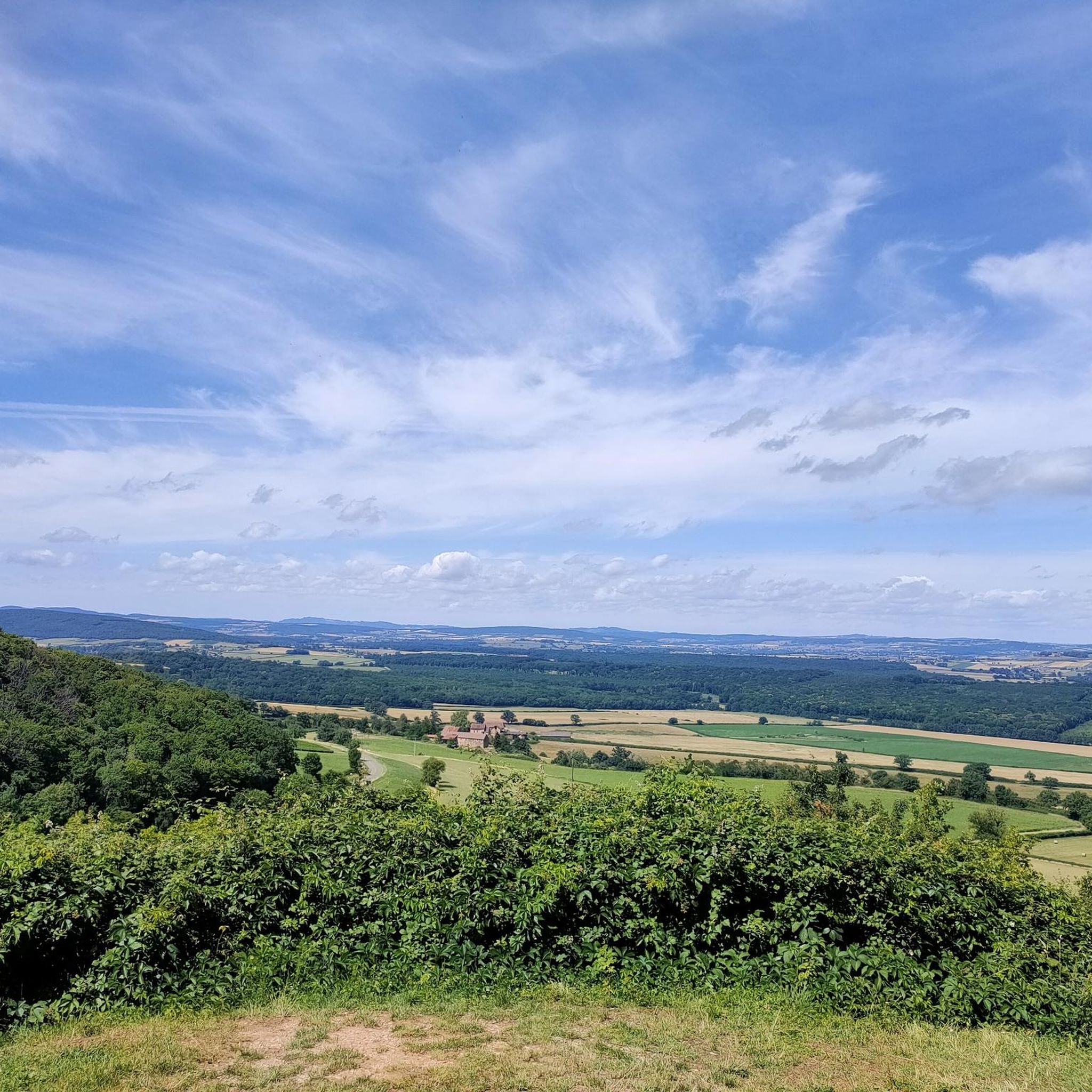
Saint-Martin-de-Laives designates the former name of the municipality of Laives, abandoned in 1793 in the revolutionary context. The name still exists today through the church of Saint-Martin-de-Laives. From the top of the hill, you can enjoy two splendid viewpoints: one over the Saône valley and the town of Sennecey, the other over the Grosne valley.
1
0

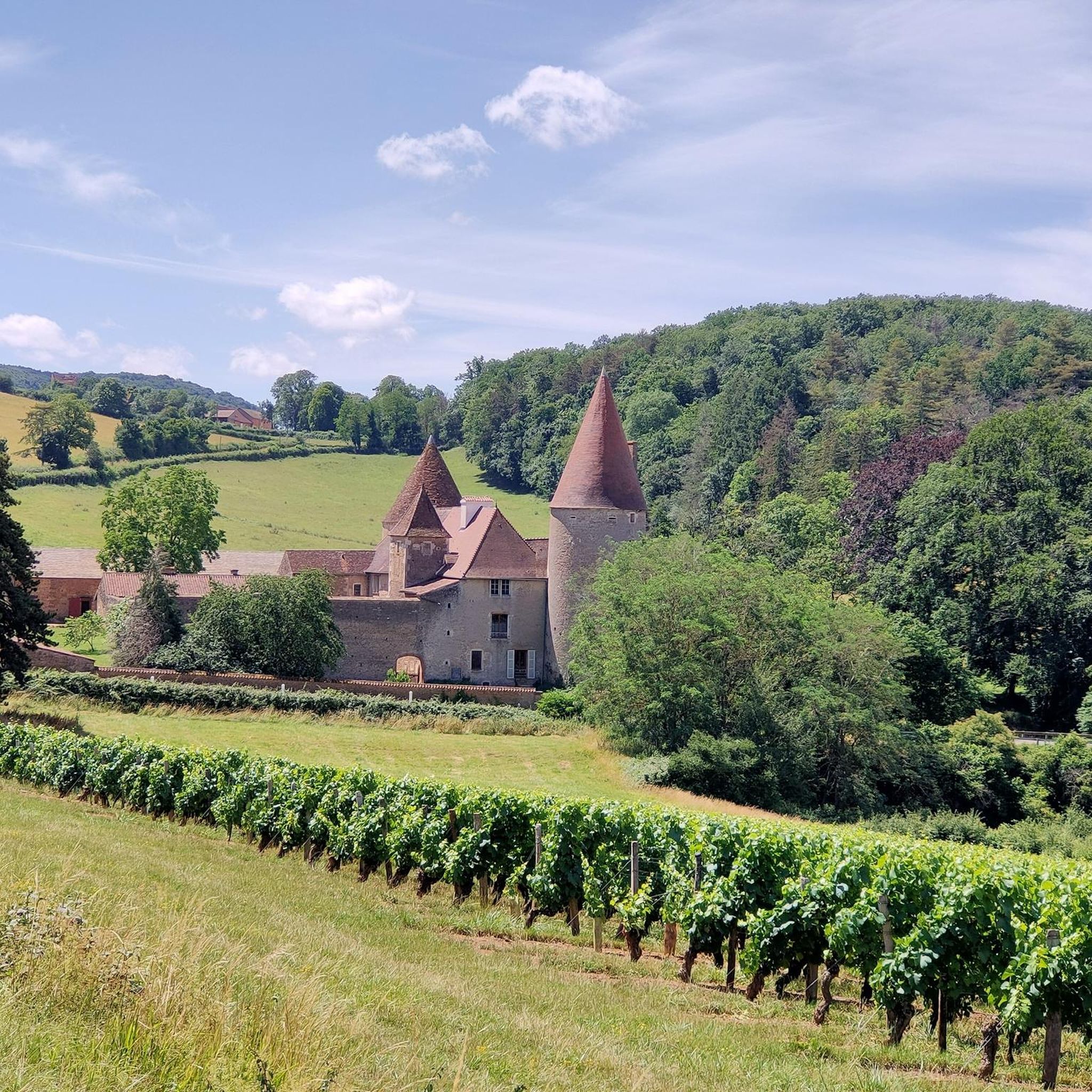
From the 13th to the 18th century: Several castles followed one another at different points within the same area. 1788: At the time of the acquisition of the estate by Baron François-Julien Geramb, a Hungarian magnate and former minister of Emperor Joseph II, only ruins remained.
0
0
From the 13th to the 18th century: Within the same grounds, several castles followed one another in different places. 1788: At the time of the acquisition of the estate by Baron François-Julien Geramb, a Hungarian magnate and former minister of Emperor Joseph II., only ruins remained.
1
0


Le petit velo is a very comfortable cyclist rest stop for drinks.
3
0

Top campsite! Beautiful complex with a castle, indoor and outdoor pool, wine tasting, restaurant and grocery store. Also inexpensive for bikes and tents. A clear recommendation!
0
0

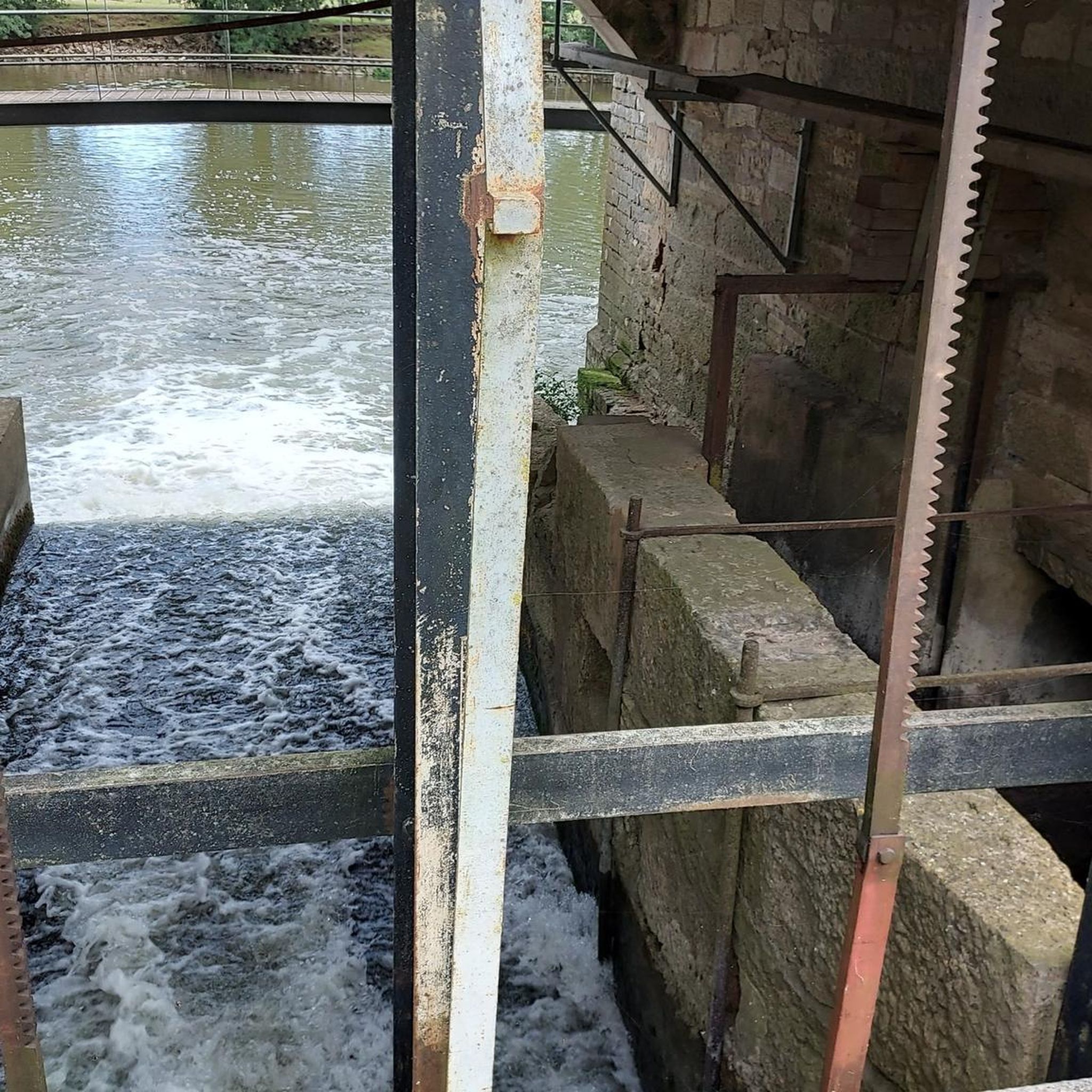
The cycle path is built on the old towpath on the banks of the Saône between Marnay and Tournus. With the proximity of the water, we come across boaters and also birds which testify to the environmental value of the place. Along the way, cyclists can stop at water sports stops and other establishments, some of which offer tire inflation services.
2
0
Frequently Asked Questions
What kind of terrain can I expect on hikes around Saint-Cyr?
Hiking around Saint-Cyr primarily features river valleys and gentle terrain. You'll find paths along waterways like the Saône, with minimal elevation changes, making most routes generally flat and accessible for various fitness levels. The landscape often includes open countryside and paths connecting local landmarks.
Are there any easy hiking trails suitable for beginners in Saint-Cyr?
Yes, Saint-Cyr offers many easy trails. For instance, the Château de l'Épervière – The Boating Stop loop from Gigny-sur-Saône is an easy 4.3-mile (6.9 km) route that takes about 1 hour 45 minutes, offering views of the Château de l'Épervière and following the river. Another easy option is Le P'tit Vélo loop from Gigny-sur-Saône, a shorter 3.2-mile (3.3 km) trail.
Can I find longer or more challenging hikes in the Saint-Cyr area?
While many trails are gentle, Saint-Cyr also has moderate options for those seeking a longer walk. The Château de l'Épervière loop from Gigny-sur-Saône is a moderate 7.6-mile (12.2 km) path that offers an extended loop around the château, traversing open fields and riverbanks. Another moderate choice is the Chapelle de l'hermitage – Théâtre de Verdure loop from Laives, which is 4.7 miles (7.6 km) and includes some elevation gain.
What are some notable landmarks or attractions I can see while hiking in Saint-Cyr?
Many trails in Saint-Cyr connect to local landmarks. You can see the historic Château de l'Épervière on several routes, such as the Château de l'Épervière – The Boating Stop loop. The region is also close to Chalon-sur-Saône, where you can explore sites like the Rue du Chatelet, the Nicéphore Niépce Museum, and the Saint Vincent Cathedral.
Are there family-friendly hiking options in Saint-Cyr?
Yes, the generally flat and gentle terrain around Saint-Cyr makes it suitable for family walks. Many of the easy loops, particularly those along the river, are ideal for families with children. The shorter routes like Le P'tit Vélo loop from Gigny-sur-Saône are great for a relaxed outing.
What do other hikers say about the trails in Saint-Cyr?
The routes in Saint-Cyr are highly rated by the komoot community, with an average score of 4.2 stars from over 90 reviews. Hikers often praise the quiet river paths, the open countryside, and the accessibility of trails connecting local landmarks.
Are dogs allowed on the hiking trails in Saint-Cyr?
While the guide data for Saint-Cyr does not specify dog regulations for each individual trail, generally, dogs are welcome on trails in rural French areas, often requiring them to be on a leash. It's always best to check local signage at trailheads for specific rules regarding pets.
What is the best time of year to go hiking in Saint-Cyr?
Given the region's climate, spring and autumn are generally ideal for hiking in Saint-Cyr, offering pleasant temperatures and beautiful scenery. Summer can also be enjoyable, especially for walks along the river where it might be cooler. Winter hiking is possible, but some paths might be muddy or less accessible depending on conditions.
Are there circular walks available in Saint-Cyr?
Yes, many of the popular hiking routes in Saint-Cyr are circular. Examples include the Château de l'Épervière – The Boating Stop loop, the Château de l'Épervière loop, and the Chapelle de l'hermitage – Théâtre de Verdure loop, all designed as loops for convenient exploration.
How many hiking trails are available in the Saint-Cyr region?
There are over 70 hiking routes available in the Saint-Cyr region on komoot, offering a wide variety of options for different preferences and skill levels.
Is public transport available to reach hiking trailheads in Saint-Cyr?
Information on specific public transport links directly to trailheads in Saint-Cyr is not detailed in the guide. However, the region is characterized by charming villages, and local bus services might connect to some starting points. It's advisable to check local transport schedules for the villages near your chosen trailhead, such as Gigny-sur-Saône or Laives.
Are there places to eat or drink near the hiking trails in Saint-Cyr?
The hiking trails in Saint-Cyr often connect charming villages. While specific cafes or pubs are not listed for each trailhead, you can typically find local establishments in villages like Gigny-sur-Saône or Laives, which serve as starting points for many routes. These villages offer opportunities for refreshments after your hike.
Most popular routes around Saint-Cyr
Most popular attractions around Saint-Cyr

Get inspired with the komoot mobile app


Explore more
Browse the best Hikes in other regions.
