The best running trails around Prunelli-Di-Casacconi
4.4
(13)
1,078
runners
74
runs
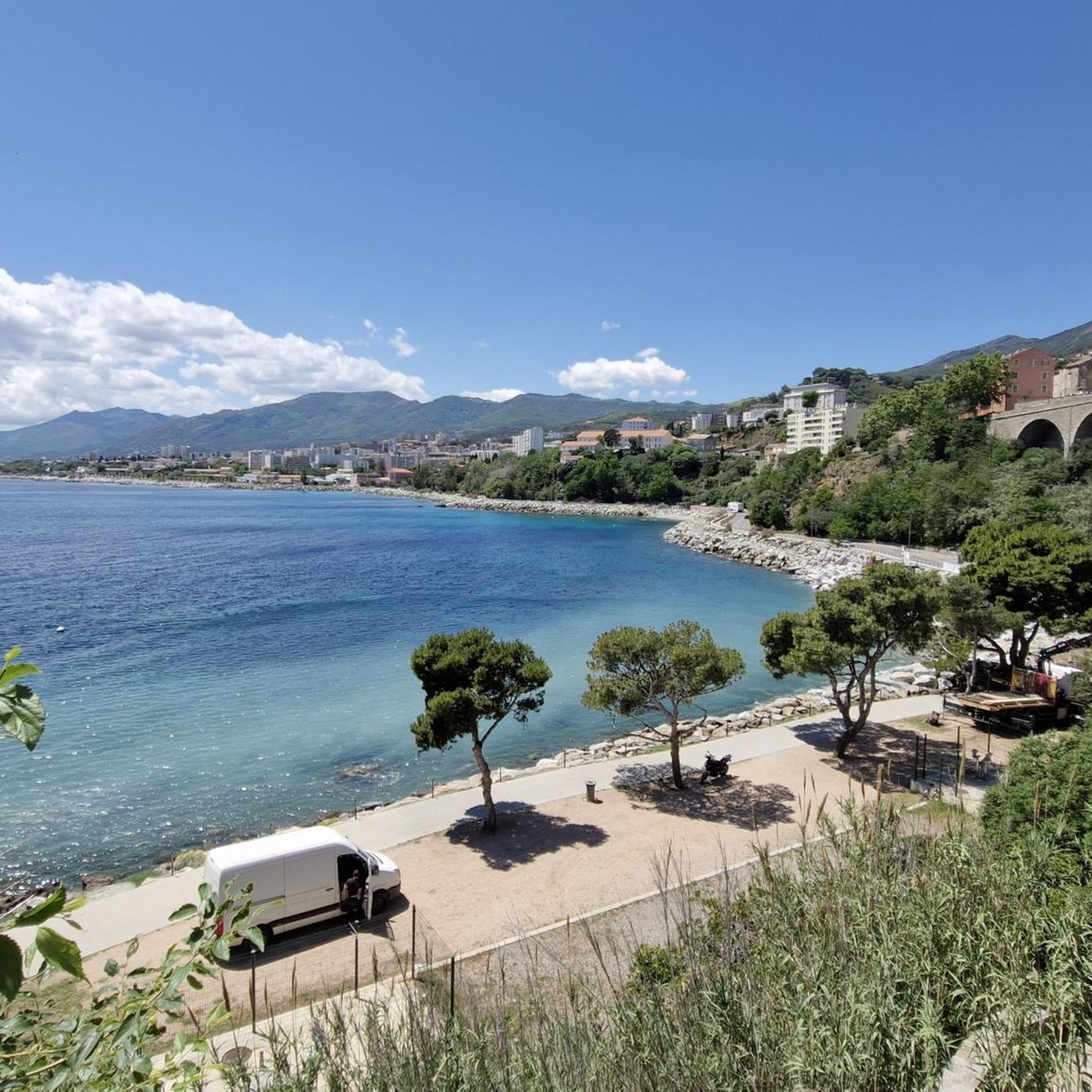
Jogging around Prunelli-Di-Casacconi offers varied terrain in Haute-Corse, situated at an altitude of 270 meters. The region provides expansive views of the Golu valley and is characterized by wild vegetation. Jogging routes in Prunelli-Di-Casacconi include well-maintained roads with gentle climbs and historical paths, suitable for different running experiences. The landscape features diverse topography, from valleys to surrounding hills.
Best jogging routes around Prunelli-Di-Casacconi
- The most popular jogging route is Col du Campo loop from Casamozza, an 8.5 miles (13.7…
Last updated: June 28, 2026
65
runners
7.82km
00:49
60m
60m
Moderate run. Good fitness required. Mostly paved surfaces. Suitable for all skill levels.
33
runners
13.5km
01:48
420m
420m
Hard run. Very good fitness required. Mostly paved surfaces. Suitable for all skill levels.

Sign up for free
32
runners
24.9km
03:54
1,290m
1,290m
Hard run. Very good fitness required. Mostly paved surfaces. Suitable for all skill levels.
34
runners
13.5km
01:50
610m
610m
Hard run. Very good fitness required. Mostly paved surfaces. Suitable for all skill levels.
4.0
(1)
23
runners
6.11km
00:38
30m
30m
Moderate run. Good fitness required. Mostly paved surfaces. Suitable for all skill levels.
Get access to more routes and recommendations from other explorers.
Sign up for free
Already have an account?
Our route recommendations are based on thousands of hikes, rides, and runs completed by other people on komoot.
Start today with a free account
Your next adventure awaits.
Login or Signup

Tips from the Community

This peak is a relatively easy climb for a great reward. The sea views really give a sense of elevation.
3
0

again fog at the top, but a great climb
3
0
Frequently Asked Questions
How many running routes are available in Prunelli-Di-Casacconi?
There are over 80 dedicated running routes around Prunelli-Di-Casacconi, offering a wide range of experiences from easy loops to challenging mountain runs. This includes 9 easy routes, 49 moderate routes, and 22 difficult routes, ensuring options for all fitness levels.
What kind of terrain can I expect on the jogging trails around Prunelli-Di-Casacconi?
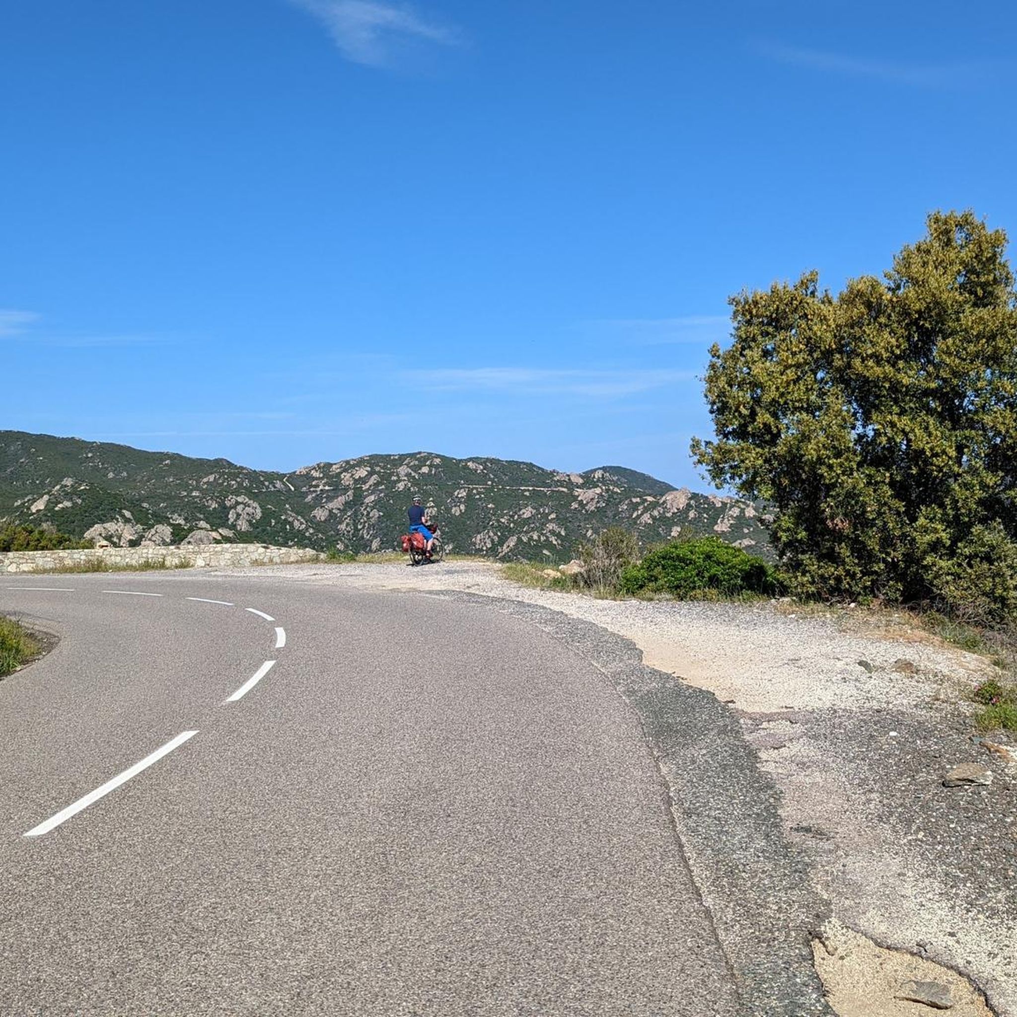
Jogging in Prunelli-Di-Casacconi offers a diverse range of terrain. You'll find well-maintained roads with gentle climbs, historical paths connecting villages, and more challenging routes through hilly landscapes. The region is characterized by stunning views of the Golu valley and rich wild vegetation, providing a picturesque backdrop for your run.
Are there running routes suitable for beginners or those looking for an easier jog?
Yes, Prunelli-Di-Casacconi offers several easy running routes perfect for beginners or those seeking a more relaxed pace. An excellent option is the Running loop from Borgo, which is 3.9 km long with minimal elevation gain, making it ideal for a gentle run.
Can I find routes with panoramic views of the Golu valley?
Absolutely. The region is renowned for its breathtaking panoramic views of the Golu valley. Many routes, especially those with some elevation, will reward you with expansive vistas of the natural beauty and diverse ecosystems. The village itself, situated at 270 meters, provides a great starting point for such scenic runs.
Are there any historical landmarks or interesting sights along the running paths?
Yes, you can combine your run with a touch of history. The area features historical paths, such as the ancient route connecting Prunelli-Di-Casacconi to Olmo. You might also encounter historical remnants like the ruins of the Castello del Mori or a 17th/18th-century Genoese bridge. For specific points of interest, consider exploring highlights like the Mount Sant'Angelo Summit or Monte Castellare.
What do other runners enjoy most about jogging in Prunelli-Di-Casacconi?
The running routes in Prunelli-Di-Casacconi are highly rated by the komoot community, with an average score of 4.5 stars from over 10 reviews. Runners frequently praise the varied terrain, the stunning views of the Golu valley, and the sense of immersion in wild vegetation. The mix of moderate road runs and challenging hill routes is also a popular aspect.
Are there any circular running routes available?
Yes, many of the running routes in Prunelli-Di-Casacconi are circular, allowing you to start and finish at the same point. For example, the Running loop from Arena is a moderate 5 km circular route, perfect for a solid workout without retracing your steps.
What is the best time of year for running in Prunelli-Di-Casacconi?
Prunelli-Di-Casacconi offers good running conditions for much of the year. Spring and autumn generally provide the most pleasant temperatures for outdoor activities. Summer can be warm, so early morning or late afternoon runs are advisable. The varied terrain means you can find shaded routes even on warmer days, and the region's natural beauty is captivating in any season.
Are there any running routes that are particularly challenging?
For experienced runners seeking a challenge, Prunelli-Di-Casacconi has several difficult routes with significant elevation gain. The Mount Sant'Angelo Summit loop from Monte is an 8.4-mile (13.5 km) trail leading through hilly terrain, often completed in about 1 hour 50 minutes, offering a rewarding workout and stunning views.
Are there options for longer distance running or trail running?
Yes, for those looking for longer distances and more extensive trail running, the region delivers. The Cime de Stella – Col du Campo loop from Lucciana is a difficult 15.4-mile (24.9 km) path with substantial elevation gain, offering challenging terrain and panoramic views for a truly invigorating long-distance run.
Is it possible to find running routes that are easily accessible by car with parking nearby?
Many running routes in the Prunelli-Di-Casacconi area are accessible by car, with parking available in or near the starting points in villages like Casamozza, Borgo, or Monte. It's always a good idea to check the specific route details on komoot for parking information to plan your trip effectively.
Most popular routes around Prunelli-Di-Casacconi
Most popular attractions around Prunelli-Di-Casacconi

Get inspired with the komoot mobile app


Explore more
Browse the best Running Trails & Routes in other regions.
