The best walks and hikes around Carcheto-Brustico
4.3
(628)
2,651
hikers
65
hikes
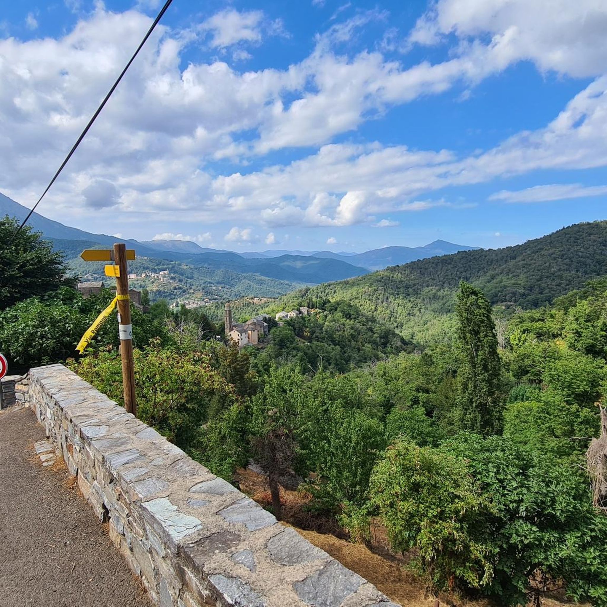
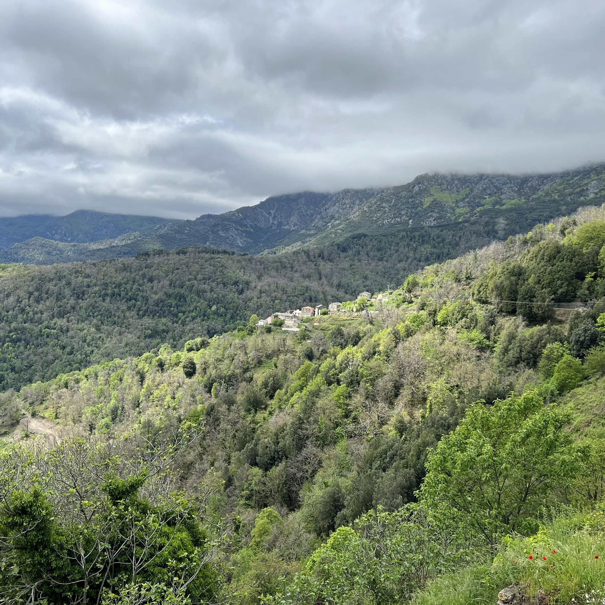
Hiking around Carcheto-Brustico offers trails through the Castagniccia region of Corsica, characterized by dense chestnut forests and the Orezza Valley. The area features significant elevation changes as the village is built on a ridge, providing varied terrain for hikers. Geological features include ancient quarries of "Vert d'Orezza" marble, accessible via specific routes.
Best hiking trails around Carcheto-Brustico
- The most popular hiking route is Church – Struccia Waterfall loop from Piedicroce, a 4.6 miles (7.4 km) trail that takes 2 hours 13 minutes to complete. This moderate route leads to the 15-meter Struccia Waterfall.
- Another top favourite among local hikers is Struccia Waterfall – Piedicroce loop from Piedicroce, an easy 3.7 miles (5.9 km) path. This trail offers a shorter option to experience the Struccia Waterfall and surrounding forests.
- Local hikers also love the Mount San Petrone – Piedicroce loop from Piedicroce, a 12.5 miles (20.1 km) trail leading through the higher elevations towards Mount San Petrone, often completed in about 8 hours 21 minutes.
- Hiking around Carcheto-Brustico is defined by chestnut forests, the Orezza Valley, and trails leading to waterfalls and historical sites. The network offers options for different ability levels, from easy loops to challenging mountain ascents.
- The routes in Carcheto-Brustico are highly rated by the komoot community with an average score of 4.5 stars from over 600 reviews. More than 2600 hikers have used komoot to explore Carcheto-Brustico's varied terrain.
Last updated: July 9, 2026
4.7
(25)
113
hikers
7.43km
02:13
230m
230m
Moderate hike. Good fitness required. Easily-accessible paths. Suitable for all skill levels.
4.5
(43)
150
hikers
5.94km
01:47
190m
190m
Easy hike. Great for any fitness level. Easily-accessible paths. Suitable for all skill levels.

Sign up for free
4.2
(18)
69
hikers
4.39km
01:19
150m
150m
Easy hike. Great for any fitness level. Easily-accessible paths. Suitable for all skill levels.
4.3
(7)
35
hikers
7.29km
02:14
250m
250m
Moderate hike. Good fitness required. Easily-accessible paths. Suitable for all skill levels.
4.7
(6)
22
hikers
21.8km
08:50
1,450m
1,450m
Hard hike. Very good fitness required. Mostly accessible paths. Sure-footedness required.
Get access to more routes and recommendations from other explorers.
Sign up for free
Already have an account?
Our route recommendations are based on thousands of hikes, rides, and runs completed by other people on komoot.
Start today with a free account
Your next adventure awaits.
Login or Signup

Tips from the Community

superb walk
0
0


Here you can cool off and grill if you want. A nice break place.
0
0
Nice place to take a break right on the "tourist highway" on the way to the waterfall with a fantastic view of it.
0
0
A small fountain to cool off before or after the waterfall, depending on where you are coming from.
0
0
Beautiful waterfall, as the main attraction with many tourists, but still worth a visit.
0
0

Great climb in the shade Dream panorama at the summit over the island of beauty
1
0

From the source of Orezza, there is a #trail route not drawn by kamoot (trail...) and yet magnificent
0
0
Frequently Asked Questions
What kind of landscapes can I expect to see while hiking around Carcheto-Brustico?
Hiking in Carcheto-Brustico takes you through the heart of Corsica's Castagniccia region, known for its dense chestnut forests, especially vibrant in autumn. The village itself is built on a ridge, offering significant elevation changes and panoramic views, including glimpses of the Tyrrhenian Sea from certain vantage points. You'll also encounter the picturesque Orezza Valley and unique geological features like ancient quarries of "Vert d'Orezza" green marble.
Are there any notable waterfalls to visit in the Carcheto-Brustico area?
Yes, the region is home to several beautiful waterfalls. The magnificent Struccia Waterfall, with its 15-meter drop into emerald waters, is a major highlight and easily accessible. You can reach it via routes like the Church – Struccia Waterfall loop from Piedicroce or the shorter Struccia Waterfall – Piedicroce loop from Piedicroce. Another notable waterfall is the Ucelluline Waterfall, which also offers stunning views.
What historical or cultural sites can I discover on the trails?
The trails around Carcheto-Brustico often lead through historic villages and past significant landmarks. You can visit the impressive 17th-century baroque Sainte Marguerite Church, which serves as a starting point for the Struccia Waterfall path. Other routes might take you past ancient Genoese bridges, like the one at Bucatoggio, or through traditional Corsican settlements. A short hike can also lead to the Chapel of Madonna di Cervione, offering panoramic views of the plain and distant islands.
Are there hiking options suitable for families with children?
Yes, the area offers a range of trails, including easier paths suitable for families. For instance, the Struccia Waterfall – Piedicroce loop from Piedicroce is an easy 3.7-mile (5.9 km) path that provides a shorter option to experience the Struccia Waterfall and surrounding forests, making it a good choice for a family outing.
What is the best time of year to go hiking in Carcheto-Brustico?
The Castagniccia region, where Carcheto-Brustico is located, is particularly vibrant in autumn when the chestnut forests are at their most colorful. Spring also offers pleasant temperatures and blooming flora. While hiking is possible year-round, summer can be quite warm, and higher elevations might experience snow in winter. Always check local weather conditions before heading out.
Are there any challenging hikes for experienced adventurers?
Absolutely. For more experienced hikers, the region offers challenging routes, including ascents to higher elevations. The Mount San Petrone – Piedicroce loop from Piedicroce is a difficult 12.5-mile (20.1 km) trail that leads towards Mount San Petrone, the highest peak in Castagniccia, and typically takes over 8 hours to complete. This route requires good fitness and sure-footedness.
Can I find circular hiking routes in Carcheto-Brustico?
Yes, many of the trails in the area are designed as loops, allowing you to start and end in the same location. Examples include the Church – Struccia Waterfall loop from Piedicroce and the Struccia Waterfall – Church loop from Piedicroce, which offer varied experiences of the local landscape and attractions.
What do other hikers say about the trails in Carcheto-Brustico?
The hiking routes in Carcheto-Brustico are highly regarded by the komoot community, with an average score of 4.5 stars from over 600 reviews. Hikers frequently praise the diverse terrain, the beauty of the chestnut forests, and the rewarding views, especially those leading to the Struccia Waterfall and from higher vantage points.
Is public transport available to reach Carcheto-Brustico for hiking?
Carcheto-Brustico is nestled in a rural part of Corsica. While specific public transport options directly to the village might be limited, it's advisable to check regional bus schedules for services to larger towns in the Castagniccia area, from which you might need to arrange further transport or hike. Many visitors prefer to reach the area by car for greater flexibility.
Are there any specific regulations for hiking with dogs in the area?
Carcheto-Brustico is part of the Regional Natural Park of Corsica. While dogs are generally permitted on trails, it's always recommended to keep them on a leash, especially in areas with livestock or protected wildlife. Please ensure you clean up after your dog to preserve the natural environment for everyone.
How many hiking trails are available around Carcheto-Brustico?
There are over 60 hiking trails available around Carcheto-Brustico, catering to various fitness levels. This includes 17 easy routes, 35 moderate trails, and 14 more difficult options, ensuring there's a path for every type of hiker.
What kind of geological features can be explored on the hikes?
The region is notable for its ancient quarries of "Vert d'Orezza," a rare and valuable green marble. Several hiking trails have been developed specifically for exploring this unique geological feature, offering a glimpse into the area's natural history and resources.
Most popular attractions around Carcheto-Brustico

Get inspired with the komoot mobile app


Explore more
Browse the best Hikes in other regions.
