The best road cycling routes around Ortale
4.7
(102)
1,435
riders
27
rides
Road cycling around Ortale is characterized by mountainous terrain and significant elevation changes, particularly in the Haute-Corse region of France. The landscape features rocky outcrops and rural valleys, offering challenging routes for road cyclists. Varying altitudes, ranging from 176m to 853m, define the topography, providing sustained climbs and descents. This geographic location makes Ortale suitable for road cycling routes with diverse difficulty levels.
Best road cycling routes around Ortale
- The most popular road cycling route is Castagniccia Villages Loop,…
Last updated: June 28, 2026
5.0
(3)
32
riders
43.5km
02:40
1,150m
1,150m
This difficult 27.0-mile (43.5 km) road cycling loop in Castagniccia climbs 3785 feet (1154 metres) to the Chapel of Our Lady of Graces.
5.0
(15)
236
riders
79.9km
04:27
1,760m
1,760m
Hard road ride. Very good fitness required. Mostly well-paved surfaces and easy to ride.

Sign up for free
4.6
(10)
144
riders
52.2km
02:48
1,020m
1,020m
Hard road ride. Very good fitness required. Mostly well-paved surfaces and easy to ride.
4.5
(4)
85
riders
71.6km
04:02
1,590m
1,590m
Hard road ride. Very good fitness required. Mostly well-paved surfaces and easy to ride.
5.0
(4)
87
riders
66.4km
03:43
1,410m
1,400m
Hard road ride. Very good fitness required. Mostly well-paved surfaces and easy to ride.
Get access to more routes and recommendations from other explorers.
Sign up for free
Already have an account?
Our route recommendations are based on thousands of hikes, rides, and runs completed by other people on komoot.
Start today with a free account
Your next adventure awaits.
Login or Signup
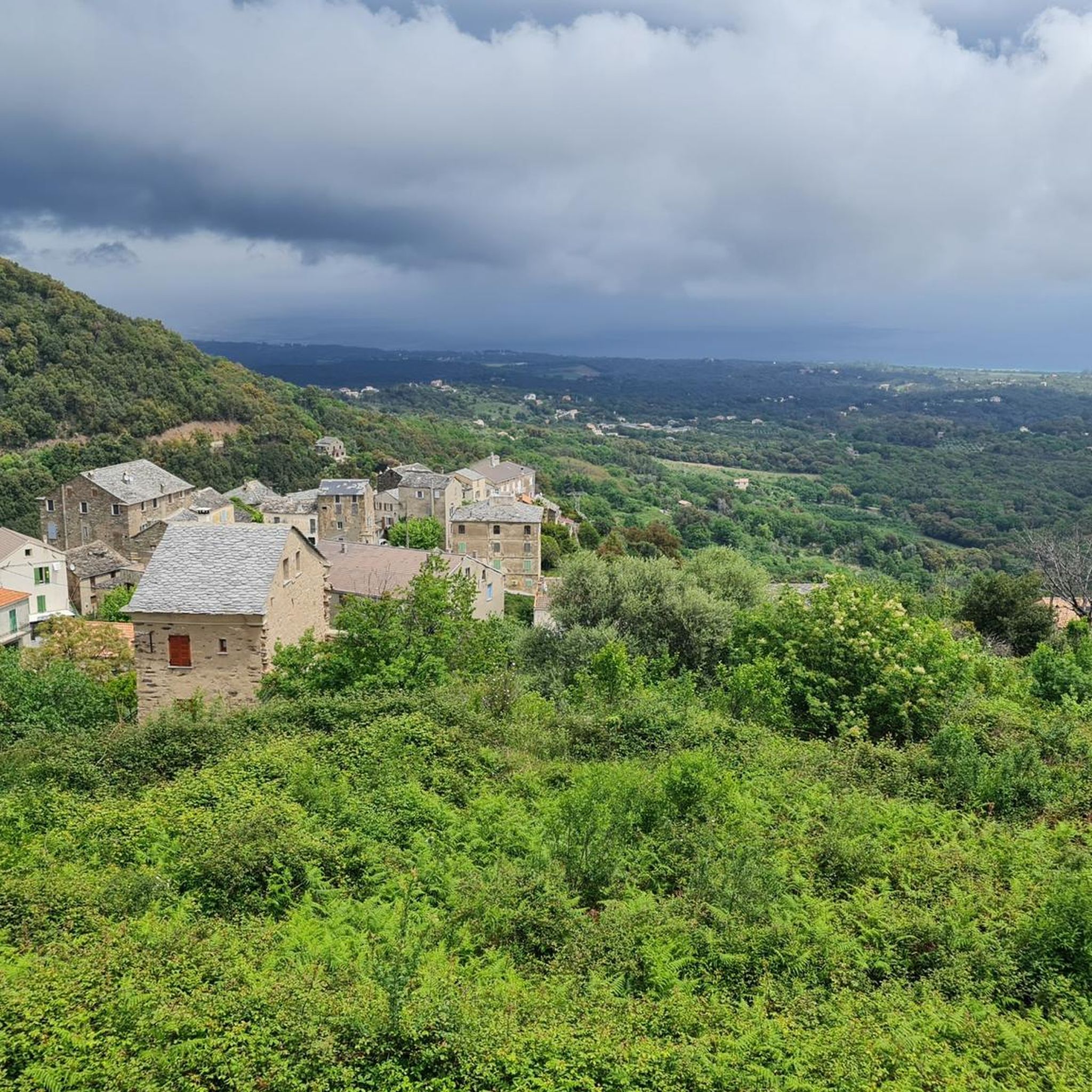
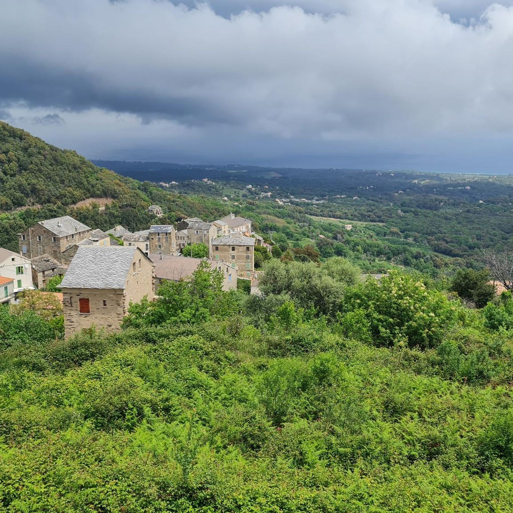
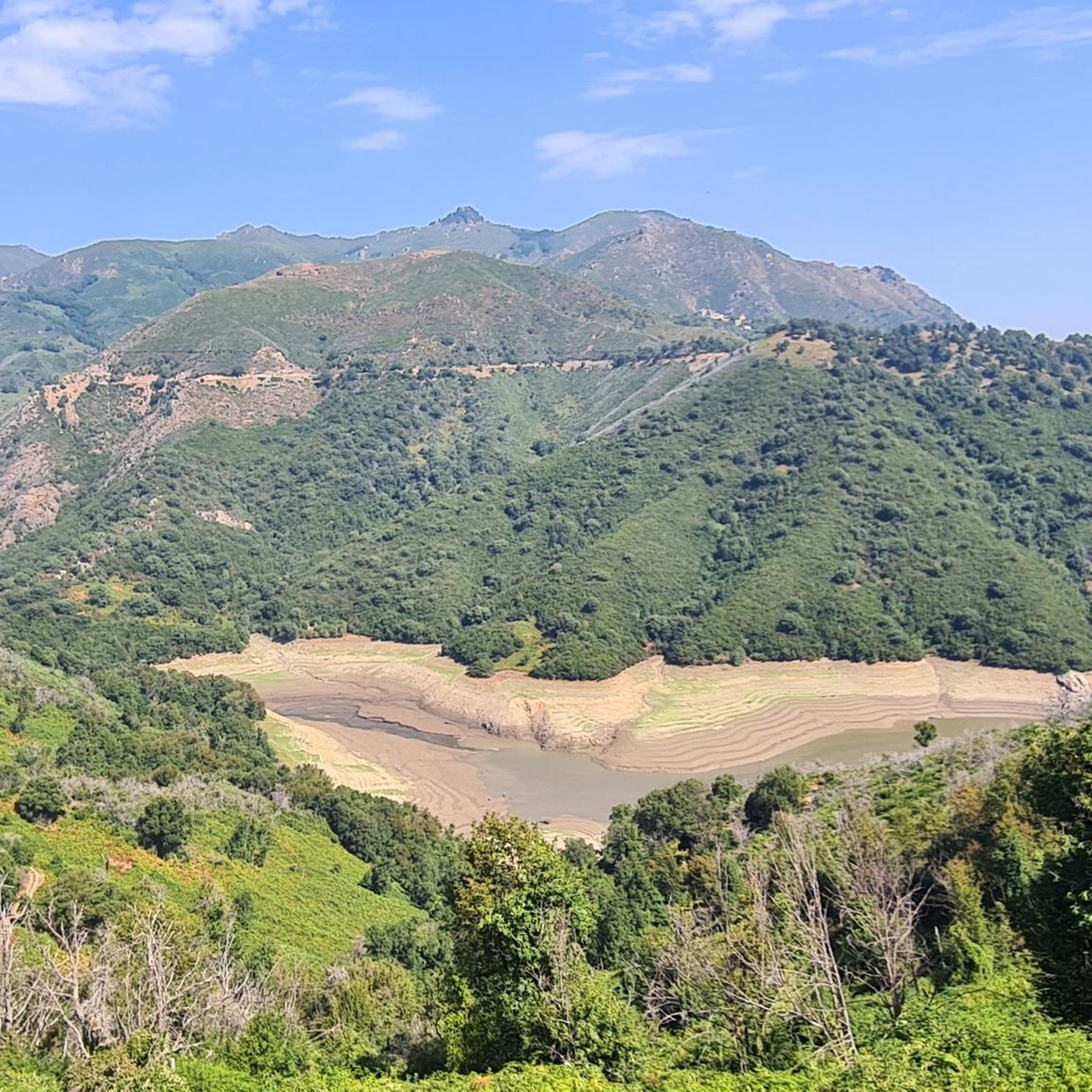
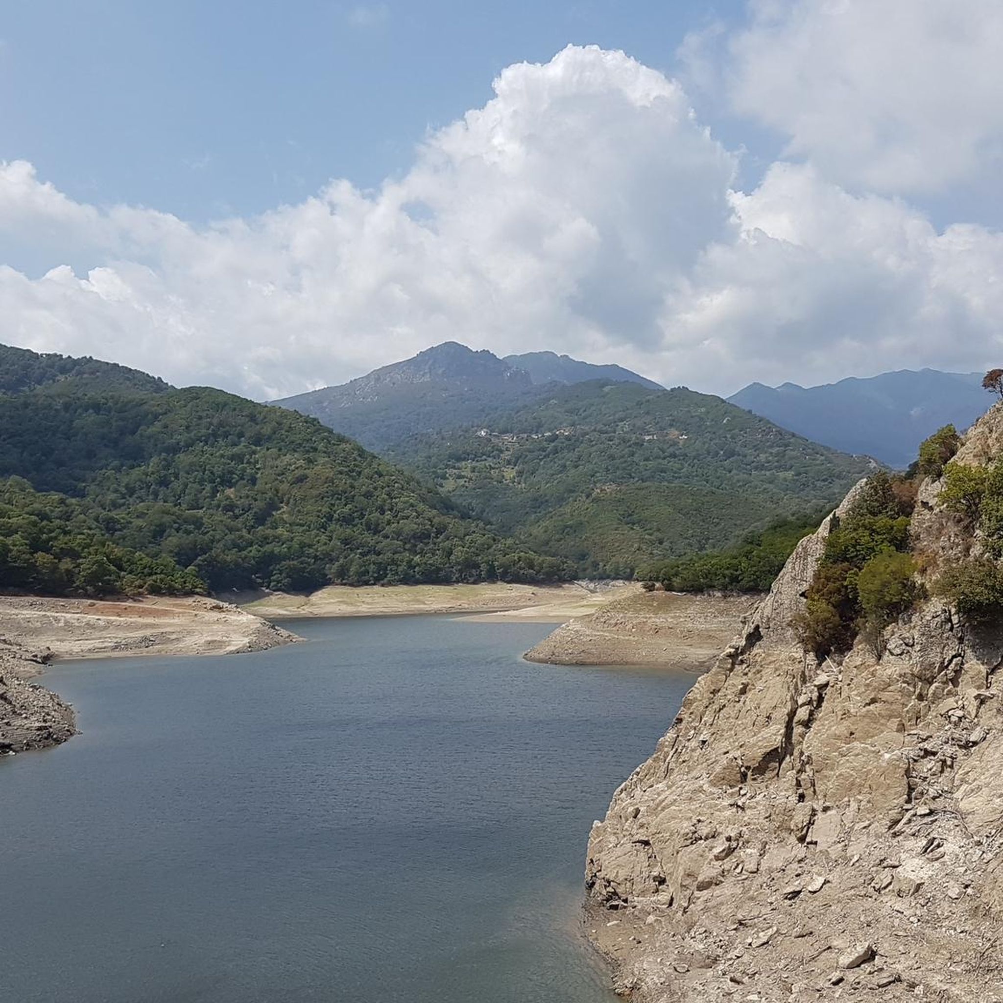
Tips from the Community


Each time we met goats and sometimes pigs, cows, sheep, horses, …….. and even tourists 🤣🤣🤣🤣
0
0

You can either go up next to the bridge or go down diagonally opposite and swim if you want. There is a tunnel on the other side of the bridge.
2
1

One of the many places in the area where you can find free-roaming goats.
0
0
Great gem with wonderful views. The track has its steeper moments, but that's not too bad. The surface isn't always the best either, but it's not dramatic with a tire width of more than 25 mm. Definitely go there because there is almost no traffic and it is really impressive.
0
0
Cervione is also worthwhile because of its good restaurants in the town center but in any case because of the really beautiful view.
0
0
The large village fountain of Talasani is very attractive and the information board provides interesting information about the historical background. But of course, the very drinkable, refreshing water that you can get here free of charge is particularly recommended for cyclists.
0
0
Beautiful bridge/stream section with restaurant.
0
0
Frequently Asked Questions
What kind of terrain can I expect when road cycling around Ortale?
Road cycling around Ortale is characterized by mountainous terrain and significant elevation changes, particularly in the Haute-Corse region of France. You'll encounter rocky outcrops and rural valleys, providing sustained climbs and descents. The topography ranges from 176m to 853m in altitude, making for challenging routes.
What are the typical difficulty levels for road cycling routes in Ortale?
The road cycling routes around Ortale are primarily geared towards experienced cyclists. Out of 25 available routes, 13 are rated as moderate and 12 are considered difficult, featuring extensive climbs and descents. There are no easy routes listed, indicating a focus on challenging rides.
Are there circular road cycling routes available in Ortale?
Yes, many of the road cycling routes around Ortale are designed as loops, allowing you to start and finish in the same location. Examples include the Castagniccia Villages Loop and the Chiatra – Alesani Dam loop from Santa-Maria-Poggio.
What natural attractions can I see along the road cycling routes in Ortale?
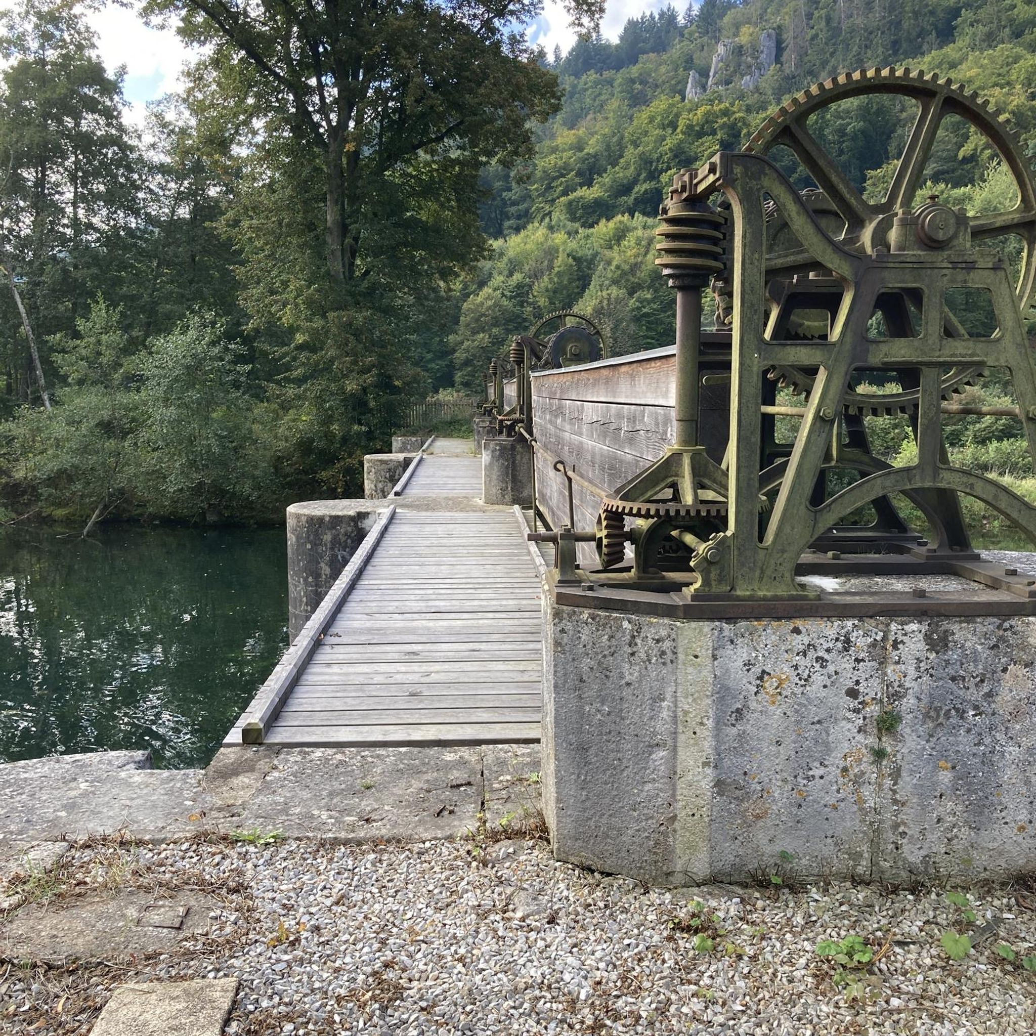
You can discover several natural attractions while cycling. Notable highlights include the Bucatoggio Waterfall and the Ucelluline Waterfall. The Alesani Dam also offers scenic views and is part of several routes.
What do other road cyclists say about the routes in Ortale?
The komoot community highly rates the road cycling experience in Ortale, with an average score of 4.6 stars from over 130 reviews. Cyclists often praise the challenging terrain and the varied landscapes, with over 1,600 road cyclists having explored the area using komoot.
How long are the road cycling routes around Ortale?
The routes vary in length, catering to different endurance levels. For instance, the Castagniccia Villages Loop is about 27 miles (43.5 km), while the Chiatra – Alesani Dam loop from Santa-Maria-Poggio extends to nearly 50 miles (79.8 km).
Is Ortale in Italy or France, and how does that affect road cycling?
The Ortale referenced in this guide is a commune in Haute-Corse, France. This location is characterized by its mountainous terrain and rural setting, offering challenging road cycling routes with significant elevation changes. While an Ortale also exists in Tuscany, Italy, this guide focuses on the French location. You can find more information about the French Ortale on Wikipedia.
Are there any routes that pass by the Alesani Dam?
Yes, the Chiatra – Alesani Dam loop from Santa-Maria-Poggio is a popular difficult route that specifically passes by the Alesani Dam, offering extensive climbs and descents with over 5,765 feet (1,757 meters) of elevation gain.
Can I find routes that include waterfalls?
Absolutely. The Ucelluline Waterfall – Hell's Bridge loop from Campoloro is a 32.4-mile (52.1 km) trail that leads through varied terrain and includes the Ucelluline Waterfall. You can also find the Bucatoggio Waterfall and Struccia Waterfall in the vicinity.
What is the best time of year to go road cycling in Ortale?
Given the mountainous terrain and varying altitudes, the best time for road cycling in Ortale is typically during spring, summer, and early autumn. These seasons generally offer more favorable weather conditions for tackling the significant climbs and descents without the challenges of winter weather.
Are there any less crowded road bike routes around Ortale?
While specific data on route popularity isn't available for every trail, the rural nature of Ortale and its mountainous setting suggest that many routes, especially those away from main villages, offer a less crowded cycling experience. Exploring less-trafficked loops like the Campi loop from Chiatra might provide a more serene ride.
Most popular attractions around Ortale

Get inspired with the komoot mobile app


Explore more
Browse the best Road cycling routes in other regions.
