The best walks and hikes around Sainte-Foy-De-Belvès
4.4
(74)
305
hikers
51
hikes
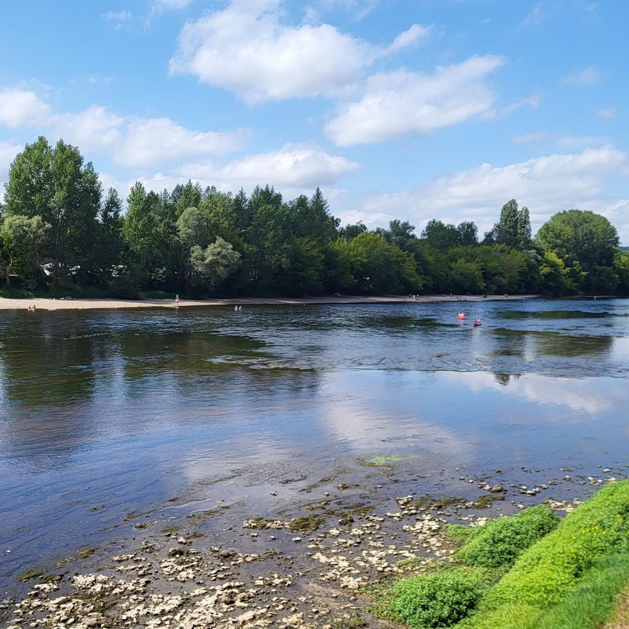
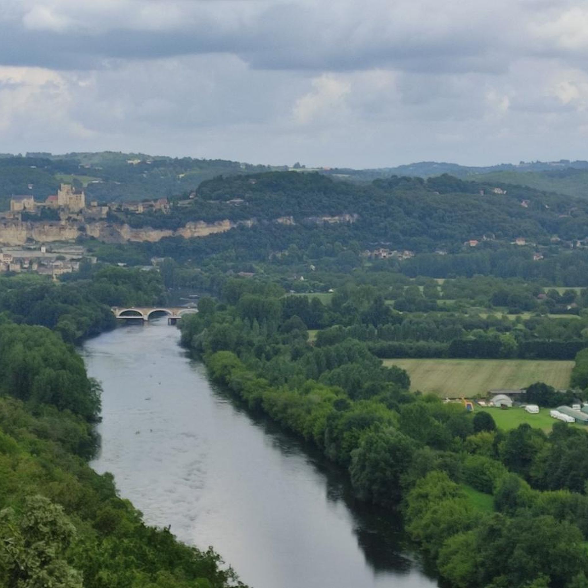
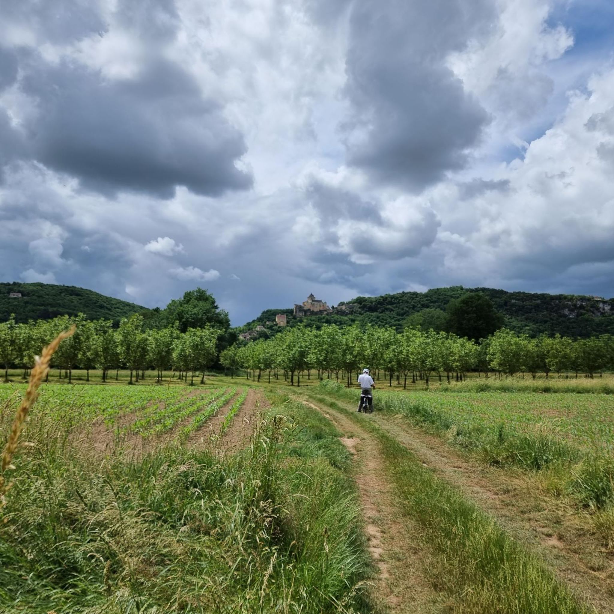
Hiking around Sainte-Foy-De-Belvès offers diverse landscapes within the Périgord Noir region of southwestern France. The area features rolling hills, deep valleys like the Nauze Valley, and extensive forests dominated by oak and chestnut trees. Trails often follow the banks of the Dordogne and Vézère rivers, providing views of limestone plateaus and rocky outcroppings.
Best hiking trails around Sainte-Foy-De-Belvès
- The most popular hiking route is Saint-Pardoux Church – Notre-Dame de Capelou loop from Monplaisant, a 5.7 miles (9.2 km) trail…
Last updated: August 23, 2026
4.8
(4)
33
hikers
9.16km
02:33
170m
170m
Moderate hike. Good fitness required. Easily-accessible paths. Suitable for all skill levels.
4.5
(2)
18
hikers
6.44km
01:49
130m
130m
Easy hike. Great for any fitness level. Easily-accessible paths. Suitable for all skill levels.

Sign up for free
4.5
(4)
11
hikers
6.55km
01:47
100m
100m
Easy hike. Great for any fitness level. Easily-accessible paths. Suitable for all skill levels.
5.0
(2)
5
hikers
18.7km
05:16
380m
380m
Hard hike. Very good fitness required. Easily-accessible paths. Suitable for all skill levels.
5.0
(2)
5
hikers
6.41km
01:47
120m
130m
Easy hike. Great for any fitness level. Easily-accessible paths. Suitable for all skill levels.
Get access to more routes and recommendations from other explorers.
Sign up for free
Already have an account?
Our route recommendations are based on thousands of hikes, rides, and runs completed by other people on komoot.
Start today with a free account
Your next adventure awaits.
Login or Signup
Tips from the Community


Located in Grives, a hamlet in Dordogne, France, the Saint-Étienne de Grives church dates back to the 12th century. Like many churches in this region, it is an example of Romanesque architecture and has undergone several renovations and extensions over the centuries.
0
0

The facade is very beautiful Behind there is still a stone table with a bench and a corner where I think he was making a fire. We would manage to project ourselves at this time when it must have been teeming with people
0
0
Very nice site and very well maintained The history of the source of this church can be discovered on site in the crypt which was built for it Water point and WC on site
0
0

This town changed its name in 2016. Formerly called Belvès, the town is now called Pays-de-Belvès. It is a grouping of municipalities between Belvès and Saint-Amand-de-Belvès, which explains this change.
1
0
This 11th century Romanesque church has some later elements, such as the door which is surmounted by a 14th century archivolt. There is nothing novel about the small arcaded bell tower which overlooks the whole. However, these modifications in no way alter the simple beauty of the building.
1
0

Frequently Asked Questions
What kind of landscapes can I expect to see while hiking around Sainte-Foy-De-Belvès?
The region offers a diverse and captivating environment. You'll encounter rolling hills and deep valleys, including the scenic Nauze Valley, extensive forests of oak and chestnut trees, and trails winding along the banks of the Dordogne and Vézère rivers. The landscape also features limestone plateaus and dramatic rocky outcroppings.
Are there many hiking trails available in Sainte-Foy-De-Belvès?
Yes, there are over 45 hiking routes around Sainte-Foy-De-Belvès. The area is known for its meticulously marked network of trails, catering to various skill levels.
What is the best time of year to go hiking in this region?
The trails around Sainte-Foy-De-Belvès are suitable throughout the year. The extensive forests provide ample shade during warmer months, while the varied terrain offers beauty in all seasons.
Are there any easy, family-friendly hikes near Sainte-Foy-De-Belvès?
Absolutely. Many trails are suitable for families. For an easy stroll, consider the Pays-de-Belvès Town Centre loop from Larzac, which is 5.2 km long and offers views of local villages and agricultural land. Another good option is the Relais de Saint-Pardoux – Saint-Pardoux Church loop from Monplaisant, an easy 6.5 km route through woodlands and fields.
What historical sites or attractions can I see along the hiking trails?
Hiking in this region is enriched by its historical heritage. Trails frequently connect charming medieval villages like Belvès, recognized as one of France's 'Most Beautiful Villages'. You might also discover historic castles such as Les Milandes Castle or The Château de Berbiguières. Many routes pass through or near the Pays-de-Belvès Town Centre, offering a glimpse into the local culture.
Are there any circular walks available?
Yes, many routes are designed as loops. For example, the moderate Saint-Pardoux Church – Notre-Dame de Capelou loop from Monplaisant is a popular 9.2 km circular trail traversing varied forest and countryside. The Hiking loop from Grives is another easy circular option, covering 6.4 km.
What do other hikers enjoy most about hiking in Sainte-Foy-De-Belvès?
The area is highly rated by the komoot community, with an average score of 4.3 stars from over 60 reviews. Hikers often praise the diverse landscapes, the quiet woodlands, and the well-marked paths that combine natural beauty with cultural stops through picturesque villages and historical landmarks.
Are there any more challenging hikes in the area for experienced hikers?
Yes, for those seeking a longer and more challenging experience, the region offers routes like the Pays-de-Belvès Town Centre – Saint-Pardoux Church loop from Belvès. This difficult 18.7 km trail involves significant elevation changes and takes approximately 5 hours and 16 minutes to complete.
Can I bring my dog on the hiking trails?
The Périgord Noir region is generally dog-friendly, with many trails suitable for walks with your canine companion. However, it's always advisable to check local signage for specific restrictions, especially in nature reserves or near livestock. Keep your dog on a leash and ensure you clean up after them.
What kind of terrain and elevation changes should I expect on the trails?
You can expect a mix of hilly terrain, with trails traversing rolling hills and deep valleys. While some routes are relatively flat, others involve moderate elevation gains and descents, particularly on longer loops. The paths often lead through dense forests, open fields, and along riverbanks, providing varied walking surfaces.
Where can I find more information about the Périgord Noir region and its attractions?
For broader information about the Périgord Noir region and its hiking opportunities, you can visit the Sarlat Tourist Office website: sarlat-tourisme.com. For details on villages like Belvès, recognized as one of France's 'Most Beautiful Villages', you can explore visit-dordogne-valley.co.uk.
Most popular routes around Sainte-Foy-De-Belvès
Most popular attractions around Sainte-Foy-De-Belvès

Get inspired with the komoot mobile app


Explore more
Browse the best Hikes in other regions.
