The best walks and hikes around Escombres-Et-Le-Chesnois
4.3
(929)
4,064
hikers
112
hikes
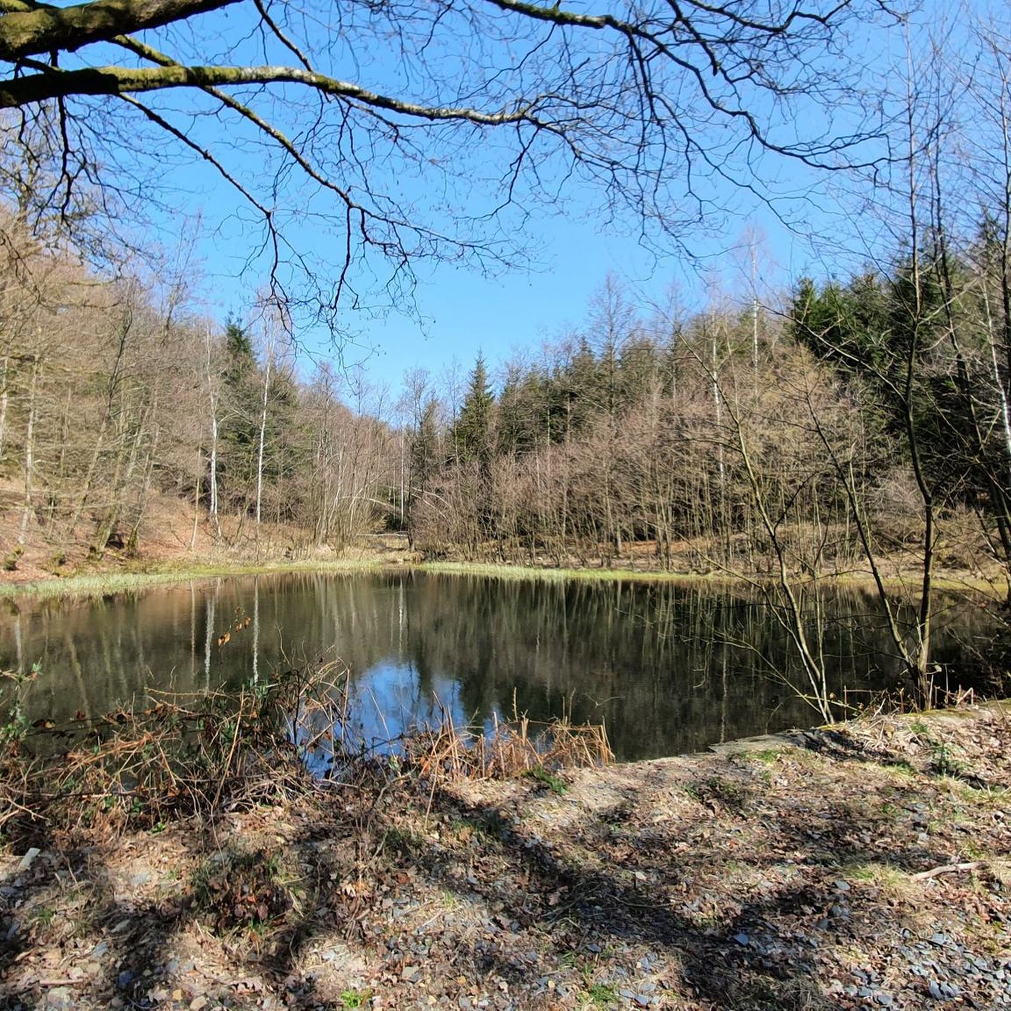
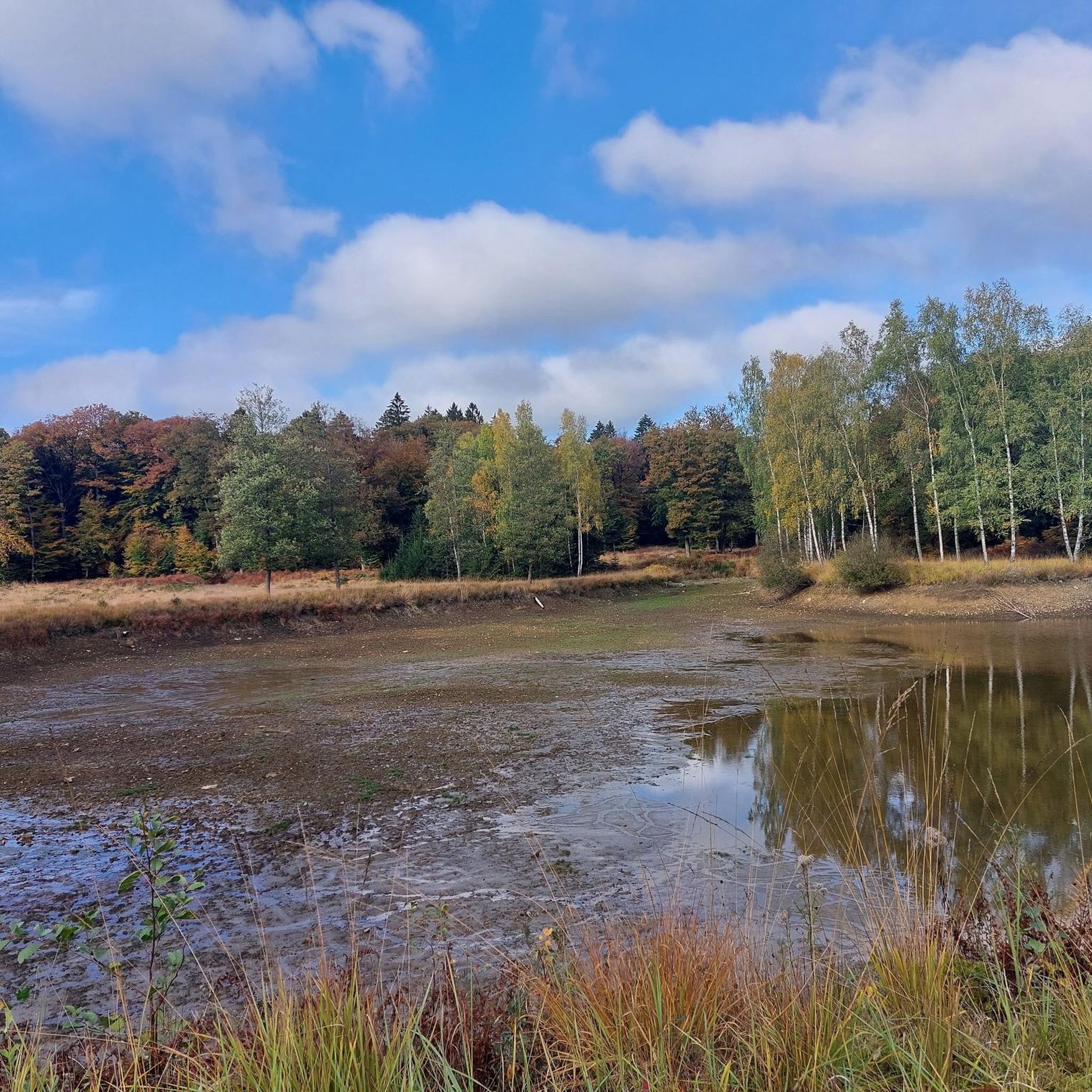
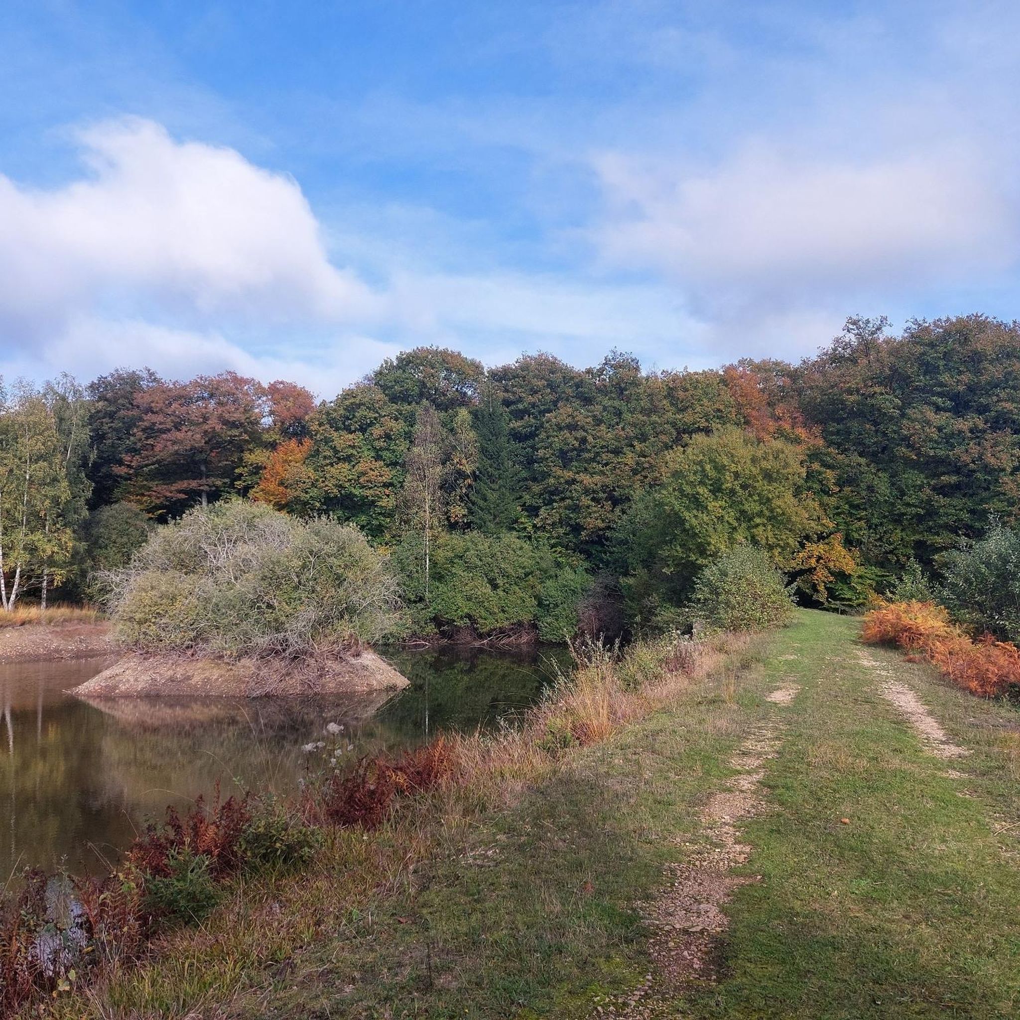
Hiking around Escombres-Et-Le-Chesnois offers exploration within the dense forest landscapes of the Ardennes department in France. The region features an undulating topography, shaped by small rivers that contribute to the Meuse catchment area. These forests are primarily composed of deciduous trees, providing a varied environment for hikers. The area is part of a wider forest massif, offering a diverse setting for outdoor activities.
Best hiking trails around Escombres-Et-Le-Chesnois
- The most popular hiking route is La Roche à l'Appel – Roche…
Last updated: June 26, 2026
4.6
(11)
56
hikers
7.41km
02:03
130m
130m
Moderate hike. Good fitness required. Easily-accessible paths. Suitable for all skill levels.
4.5
(4)
17
hikers
9.42km
02:35
150m
150m
Moderate hike. Good fitness required. Easily-accessible paths. Suitable for all skill levels.

Sign up for free
4.7
(3)
20
hikers
11.3km
03:07
200m
200m
Moderate hike. Good fitness required. Easily-accessible paths. Suitable for all skill levels.
4.3
(3)
7
hikers
14.6km
04:06
290m
290m
Moderate hike. Good fitness required. Easily-accessible paths. Suitable for all skill levels.
4.0
(1)
13
hikers
5.84km
01:35
90m
90m
Easy hike. Great for any fitness level. Easily-accessible paths. Suitable for all skill levels.
Get access to more routes and recommendations from other explorers.
Sign up for free
Already have an account?
Our route recommendations are based on thousands of hikes, rides, and runs completed by other people on komoot.
Start today with a free account
Your next adventure awaits.
Login or Signup


Tips from the Community

To discover from the greenways of the Ardennes
1
0

The parking lot is located at the bridge (of Ravel 165A) on Rue de Cugnon. Please note that you'll have to drive for a while on an unpaved road with many potholes.
11
0
Northeast of Muno, Roche à l'Appel, located in the Roches valley, offers an exceptional site for botanists and geologists. It contains rare combinations of lichens, mosses, and ferns, as well as an impressive rock bank composed of a conglomerate that formed the base of the great seamount covering the Cambrian bedrock. This conglomerate, known as Fépin (or Linchamps), consists of sandstone and quartzite blocks of varying sizes (up to about 50 cm in diameter) and angular to rounded shapes, scattered within a finer, clayey, sandy matrix. (Geological Survey of Belgium)
14
1
La Roche à l'Appel resembles a chaotic accumulation of enormous Fépin pudding stones. The surrounding forests are very diverse: oak, beech, and coniferous. In some places, along the streams that cut through the slope, peatlands of botanical interest run along them. The small world of mosses and liverworts is remarkably rich and diverse. The entomological fauna, especially beetles, is also represented by many species, some of which are very rare elsewhere in the country. (Visit Wallonia)
12
0
The name "La Roche à l’Appel" likely derives from a corruption of a local term. "Pèle" (the shovel) is the word used locally to refer to the tool used to pack the charcoal produced at the "place de faulde" (place of fire). This spot, where the oven was built to burn the wood, was located near the geological site. "La Roche à l’Appel" is therefore derived from "Roche à la Pèle." The site of La Roche à l’Appel was classified by Royal Decree of March 16, 1965. (Geological Survey of Belgium)
14
0
This stone church with a single nave and a large transept, built in 1665 (vintage), is dedicated to Saint-Martin de Tours. (Mini-Ardenne)
8
0
The creator, Joris Delacour, says the following: "A 6x6m fresco sprayed on the wall of an old washhouse in the small village of Lambermont, in the municipality of Florenville, Belgium. A call for projects was launched, and I was lucky enough to win. Meeting the locals was warm. And being housed with a family of village artists, I discovered new perspectives on free expression and creative freedom... Thanks to Christine and Thierry for their welcome, two artists with a connection to literature and music!!! Thanks also to Pascale, Bruno, Philippe, and Fabienne for their generosity. The theme of this fresco was to highlight old memories connected to the village and its culture (through black-and-white photographs), all in color... A week full of emotions, surrounded by beautiful nature...
12
0
Very beautiful panoramas can be seen on this slope in the Parc Natural de Gaume.
12
0
Frequently Asked Questions
How many hiking trails are available in Escombres-Et-Le-Chesnois?
There are over 115 hiking trails around Escombres-Et-Le-Chesnois, offering a wide range of options for different skill levels and preferences. The region's dense forests and undulating terrain provide a diverse backdrop for exploration.
What are the typical difficulty levels for hikes in this area?
The hiking trails in Escombres-Et-Le-Chesnois cater to various abilities. You'll find approximately 58 easy routes, 51 moderate routes, and 6 more challenging trails, ensuring there's something for everyone from casual walkers to experienced trekkers.
Are there any unique natural features or landmarks to discover on the trails?
Yes, the region is known for its striking natural formations. A notable feature is La Roche à l'Appel, a geological curiosity with enormous puddingstone blocks. You can explore this on routes like La Roche à l'Appel – Roche à l'Appel Stone Bridge loop from Muno. Other natural highlights include the dense forest landscapes and small rivers that crisscross the area, contributing to the picturesque scenery. Consider visiting the Roche à l'Appel Stone Bridge or the Le Bohanan Viewpoint for scenic vistas.
Can I find historical sites or castles along the hiking routes?
Absolutely. Beyond natural beauty, the region boasts a rich historical heritage. Some routes may lead you near sites like Bouillon Castle or Château de Lombut. The village of Louvergny, for instance, offers a neo-Gothic church and an old washhouse, often integrated into local hiking circuits.
What do other hikers enjoy most about the trails in Escombres-Et-Le-Chesnois?
The trails in Escombres-Et-Le-Chesnois are highly rated by the komoot community, with an average score of 4.4 stars from over 800 reviews. Hikers often praise the immersive experience within the dense, biodiverse forests, the varied and undulating terrain, and the extensive network of well-maintained paths that lead to both natural formations and cultural sites.
Are there any family-friendly hiking options in the area?
Many of the 58 easy routes are suitable for families. The varied terrain, with gentle strolls through forests and along rivers, makes for enjoyable outings. Look for shorter, less strenuous loops that allow for exploration without excessive challenge.
Are dogs allowed on the hiking trails?
The forests and natural areas around Escombres-Et-Le-Chesnois are generally welcoming to dogs. However, it's always advisable to keep your dog on a leash, especially in areas with wildlife or near agricultural land, and to check for any specific local regulations or protected zones before you go.
Are there circular hiking routes available?
Yes, many of the trails in the region are designed as circular routes, allowing you to start and end at the same point. For example, the Lambermont Village – Lambermont Street Art loop from Muno offers a moderate circular path through varied forest scenery.
Where can I find parking for hiking trails?
Parking is typically available at the start points of many popular trails and in nearby villages. Given the region's focus on outdoor activities, designated parking areas for hikers are often provided. It's recommended to check the specific tour details on komoot for parking information related to your chosen route.
What is the best time of year to go hiking in Escombres-Et-Le-Chesnois?
The region offers a varied and scenic backdrop for hikers throughout the seasons. Spring brings lush greenery and wildflowers, while autumn showcases vibrant deciduous foliage. Summer is ideal for longer days, and even winter can be beautiful with snow-covered landscapes, though some trails might be more challenging. The dense forests provide good shade during warmer months.
Are there any trails that offer good viewpoints?
Yes, the undulating topography of the Ardennes provides diverse viewpoints. The Le Bohanan Viewpoint and Belvédère de Bouillon Trail are known for offering scenic vistas over the surrounding landscapes. These spots are excellent for appreciating the vast forest massif.
Can I reach hiking trails using public transport?
While some larger towns in the Ardennes region have public transport connections, direct access to specific trailheads in more remote forest areas around Escombres-Et-Le-Chesnois might be limited. It's advisable to plan your journey in advance and check local bus schedules if you intend to rely on public transport for trail access.
Most popular routes around Escombres-Et-Le-Chesnois
Most popular attractions around Escombres-Et-Le-Chesnois

Get inspired with the komoot mobile app


Explore more
Browse the best Hikes in other regions.
