The best walks and hikes around La Ferté-Sur-Chiers
4.6
(734)
3,925
hikers
98
hikes
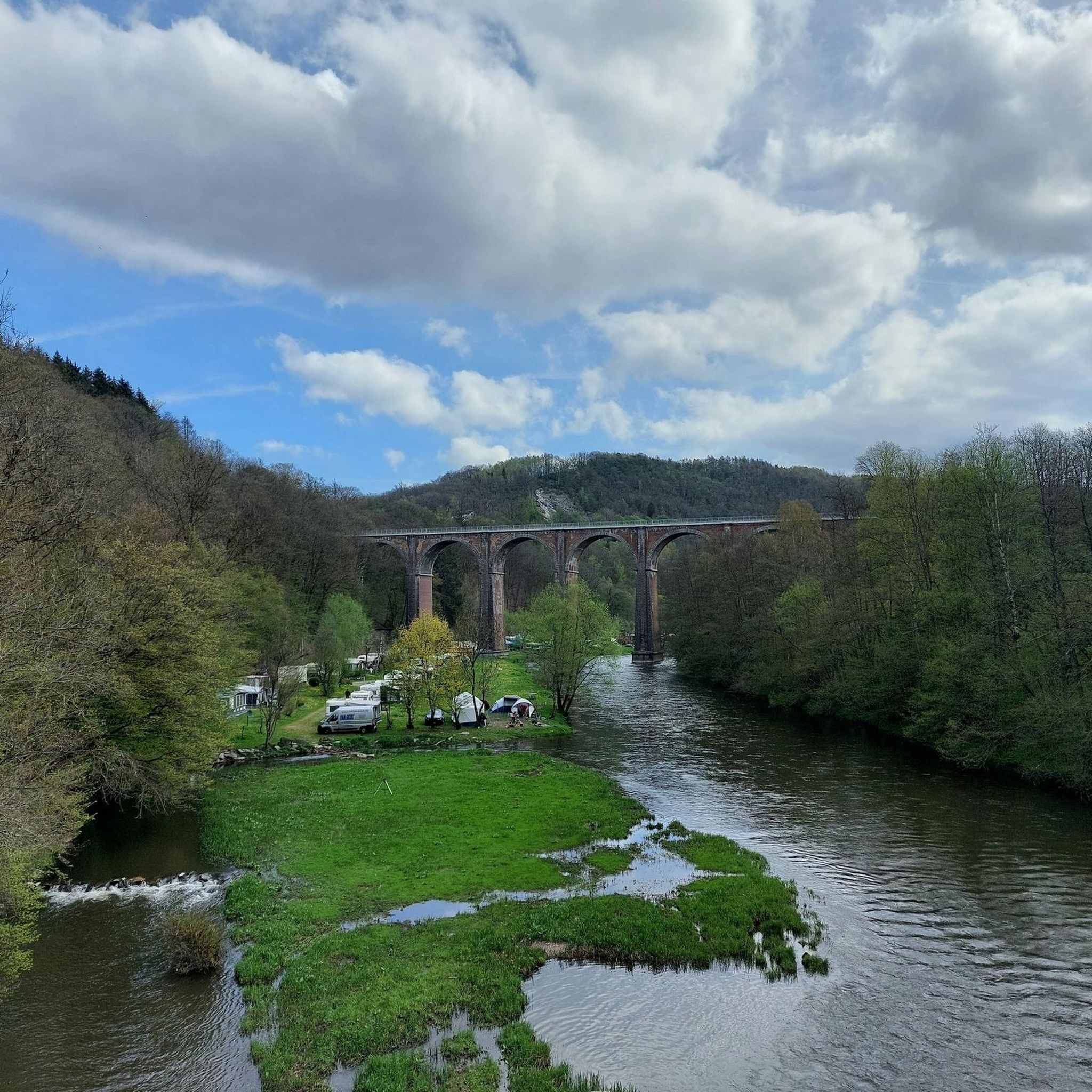
Hiking around La Ferté-Sur-Chiers offers diverse landscapes within the Ardennes department of northern France. The region is characterized by hilly forest areas, valleys, and dense forests, with the Chiers River flowing through the village. Prominent features include Mont Saint-Walfroy, a hill providing panoramic views, and the broader Parc Naturel Régional des Ardennes. These geographical elements create varied terrain for outdoor exploration.
Best hiking trails around La Ferté-Sur-Chiers
- The most popular hiking route is Saint-Walfroy and the Pays des sources –…
Last updated: July 5, 2026
5.0
(1)
5
hikers
22.1km
06:17
500m
500m
Hard hike. Very good fitness required. Easily-accessible paths. Suitable for all skill levels.
5.0
(1)
10
hikers
7.19km
02:10
250m
250m
Moderate hike. Good fitness required. Easily-accessible paths. Suitable for all skill levels.

Sign up for free
5.0
(1)
8
hikers
8.26km
02:28
260m
260m
Moderate hike. Good fitness required. Easily-accessible paths. Suitable for all skill levels.
5.0
(1)
12
hikers
12.8km
03:39
300m
300m
Moderate hike. Good fitness required. Easily-accessible paths. Suitable for all skill levels.
4.7
(3)
5
hikers
9.16km
02:22
50m
50m
Moderate hike. Good fitness required. Easily-accessible paths. Suitable for all skill levels.
Get access to more routes and recommendations from other explorers.
Sign up for free
Already have an account?
Our route recommendations are based on thousands of hikes, rides, and runs completed by other people on komoot.
Start today with a free account
Your next adventure awaits.
Login or Signup


Tips from the Community

Beautiful but it is closed. Falling debris.
0
0

Fort du Chesnois is a fortified structure of the Maginot Line, located in the Ardennes communes of Signy-Montlibert and the Meuse commune of Thonne-le-Thil. It was built between 1934 and 1938, and was spared by the fighting of May and June 1940.
0
0
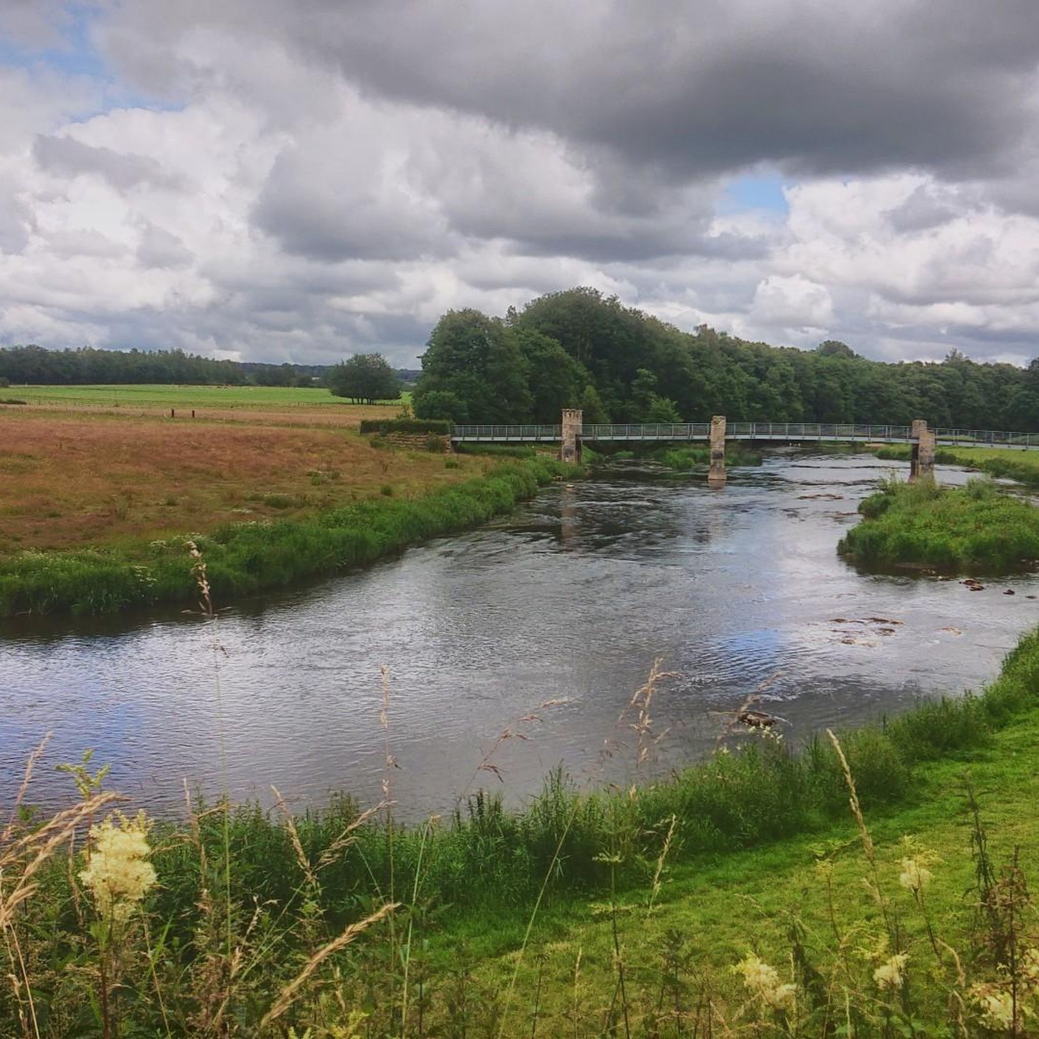
This dirt path winds between green fields on one side and the forest on the other. With a little luck you might come across a few cows grazing!
0
0
The Gothic church of Saint-Michel d'Erbeuval was built in 1888. It features neo-Gothic furniture and its stained-glass windows are by the glass painters Bulteau (Reims) and Étienne et Mouilleron (Bar-le-Duc).
3
0

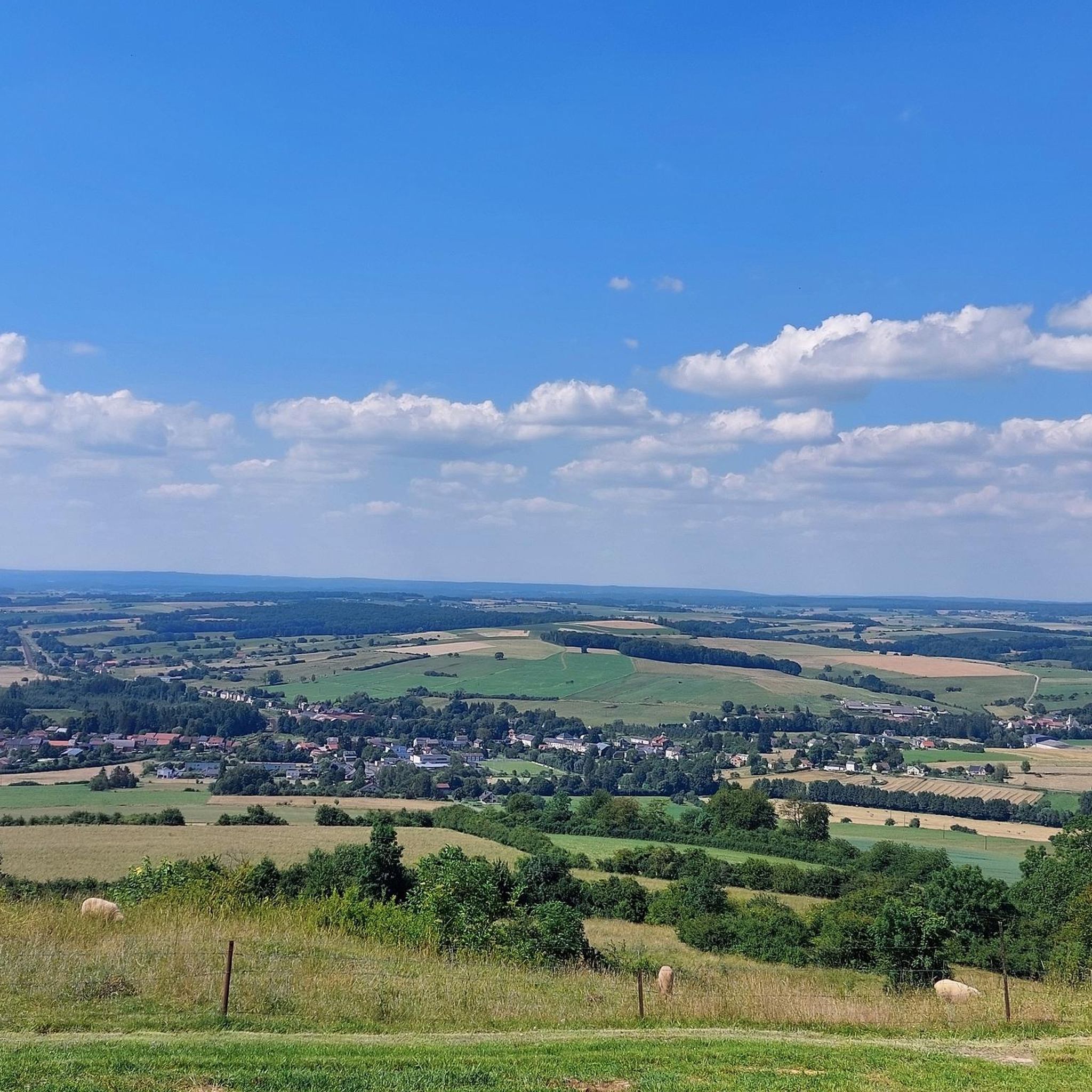
Magnificent view on a clear day. A few minutes of rest is good after this climb++
1
0

It's worth taking a break from your run to appreciate the breathtaking views of the rolling landscapes of the Ardennes.
2
0
Mont Saint-Walfroy was formerly a place of pagan worship, then a hermitage of Saint Walfroy, the apostle of the Ardennes. You will appreciate the panoramic views of the Meuse valley and the surrounding forests, as well as the historical and religious importance of this place. Along the way, you will pass by the Chapelle Saint-Donat, a small chapel dedicated to a local saint.
2
0
Mont Saint-Walfroy was once a place of pagan worship, before being chosen to build the hermitage of Saint-Walfroy, the apostle of the Ardennes. You will appreciate the panoramic views of the Meuse valley and the surrounding forests, as well as the historical and religious importance of this place. Along the way, you will pass by the Chapelle Saint-Donat, a small chapel dedicated to a local saint.
3
0
Frequently Asked Questions
How many hiking trails are available around La Ferté-Sur-Chiers?
There are over 90 hiking trails in the La Ferté-Sur-Chiers region, offering a wide range of options for different skill levels. You'll find 33 easy routes, 53 moderate trails, and 9 challenging hikes to explore.
What types of landscapes can I expect to see while hiking in La Ferté-Sur-Chiers?
The region around La Ferté-Sur-Chiers is characterized by diverse Ardennes landscapes. You'll encounter hilly forest areas, serene valleys, dense forests, and open fields. The Chiers River flows through the village, adding a tranquil riverside dimension to many walks. Prominent features include the commanding Mont Saint-Walfroy and the expansive forests of the Parc Naturel Régional des Ardennes.
Are there any easy, family-friendly hikes in the area?
Yes, La Ferté-Sur-Chiers offers several easy routes suitable for families. For instance, the Mont Saint-Walfroy – Mont Saint-Walfroy loop from Bièvres is an easy 7.0 km trail that can be completed in about 2 hours, offering scenic views around Mont Saint-Walfroy without significant difficulty.
What are some notable natural features or landmarks to look out for on the trails?
Hikers can explore several interesting natural and historical landmarks. The prominent Mont Saint-Walfroy offers panoramic views of the Meuse and Ardennes. You might also encounter the unique hydrographic features of the Chiers River and the historical Ouvrage de La Ferté, a Maginot Line fort integrated into the natural landscape. The region's dense forests and small streams also provide classic Ardennes scenery.
Are there any circular hiking routes available?
Yes, many routes in the area are circular. For example, the Mont Saint-Walfroy loop from Bièvres is a moderate 7.2 km circular path that takes you around Mont Saint-Walfroy. Another option is the Mont Saint-Walfroy – Mont Saint-Walfroy loop from La Ferté-sur-Chiers, an 8.4 km moderate loop starting directly from the village.
What do other hikers say about the trails in La Ferté-Sur-Chiers?
The trails in La Ferté-Sur-Chiers are highly regarded by the komoot community, with an average rating of 4.6 stars from over 600 reviews. Hikers often praise the varied terrain, the beautiful forest paths, and the rewarding panoramic views from spots like Mont Saint-Walfroy.
Can I bring my dog on the hiking trails?
Generally, dogs are welcome on hiking trails in the Ardennes region. However, it's always advisable to keep them on a leash, especially in nature reserves, near livestock, or in areas with wildlife. Always check local signage for specific regulations on individual trails or within protected areas.
What is the best time of year to go hiking in La Ferté-Sur-Chiers?
The region is beautiful throughout the year, but spring and autumn are particularly popular for hiking. In spring, the forests burst with new growth, while autumn offers stunning foliage colors. Summer provides pleasant temperatures for longer excursions, and even winter hikes can be magical, especially after a fresh snowfall, though some paths might be muddy or slippery.
Are there options for longer, more challenging hikes?
Absolutely. For experienced hikers seeking a challenge, the region offers more demanding routes. The Saint-Walfroy and the Pays des sources – Margut trail is a difficult 22.1 km route that explores the source region and involves a significant elevation gain, typically taking over 6 hours to complete.
Where can I find parking for hiking trailheads?
Many hiking routes in the La Ferté-Sur-Chiers area, especially those starting from villages like Bièvres, Margut, or La Ferté-sur-Chiers itself, typically have designated parking areas nearby. It's common to find parking available at the start of popular trail loops or near local amenities.
Are there any historical sites to visit near the hiking routes?
Yes, the region is rich in history. Besides the natural beauty, you can explore the exterior of the Ouvrage de La Ferté, a significant fort from the Maginot Line. Other nearby historical attractions include the impressive Citadel of Montmédy and the beautiful Basilica of Our Lady of Avioth, which can be combined with a hike for a cultural experience.
What is the typical elevation gain on trails in this area?
The elevation gain varies significantly depending on the trail's difficulty. Easy routes might have minimal gain, while moderate trails like the Mont Saint-Walfroy loop from Bièvres feature around 249 meters (818 feet) of ascent. More difficult routes, such as the Saint-Walfroy and the Pays des sources – Margut, can involve nearly 500 meters (1,640 feet) of elevation gain.
Most popular routes around La Ferté-Sur-Chiers
Most popular attractions around La Ferté-Sur-Chiers

Get inspired with the komoot mobile app


Explore more
Browse the best Hikes in other regions.
