The best running trails around Uppershausen
4.6
(67)
858
runners
44
runs
Jogging routes around Uppershausen traverse a diverse landscape within the Eifel region of Rhineland-Palatinate, Germany. The area features a mix of accessible paths, including routes around the Bitburg Reservoir, offering water views and natural terrain. Runners can expect varied terrain, from forest trails to paths with significant elevation gains, catering to different fitness levels. The region's network of trails provides ample opportunities for exploring its natural beauty.
Best jogging routes around Uppershausen
- The most popular jogging route is Bitburg Reservoir…
Last updated: August 13, 2026
5.0
(1)
180
runners
37.3km
04:09
700m
700m
Hard run. Very good fitness required. Mostly paved surfaces. Suitable for all skill levels.
5.0
(3)
164
runners
22.4km
02:39
500m
500m
Hard run. Very good fitness required. Mostly paved surfaces. Suitable for all skill levels.

Sign up for free
3.7
(3)
22
runners
8.79km
00:57
100m
100m
Moderate run. Good fitness required. Mostly paved surfaces. Suitable for all skill levels.
5.0
(1)
25
runners
30.1km
03:39
780m
780m
Hard run. Very good fitness required. Mostly accessible paths. Some sure footedness required.
3.7
(3)
19
runners
Moderate run. Good fitness required. Mostly paved surfaces. Suitable for all skill levels.
Get access to more routes and recommendations from other explorers.
Sign up for free
Already have an account?
Our route recommendations are based on thousands of hikes, rides, and runs completed by other people on komoot.
Start today with a free account
Your next adventure awaits.
Login or Signup
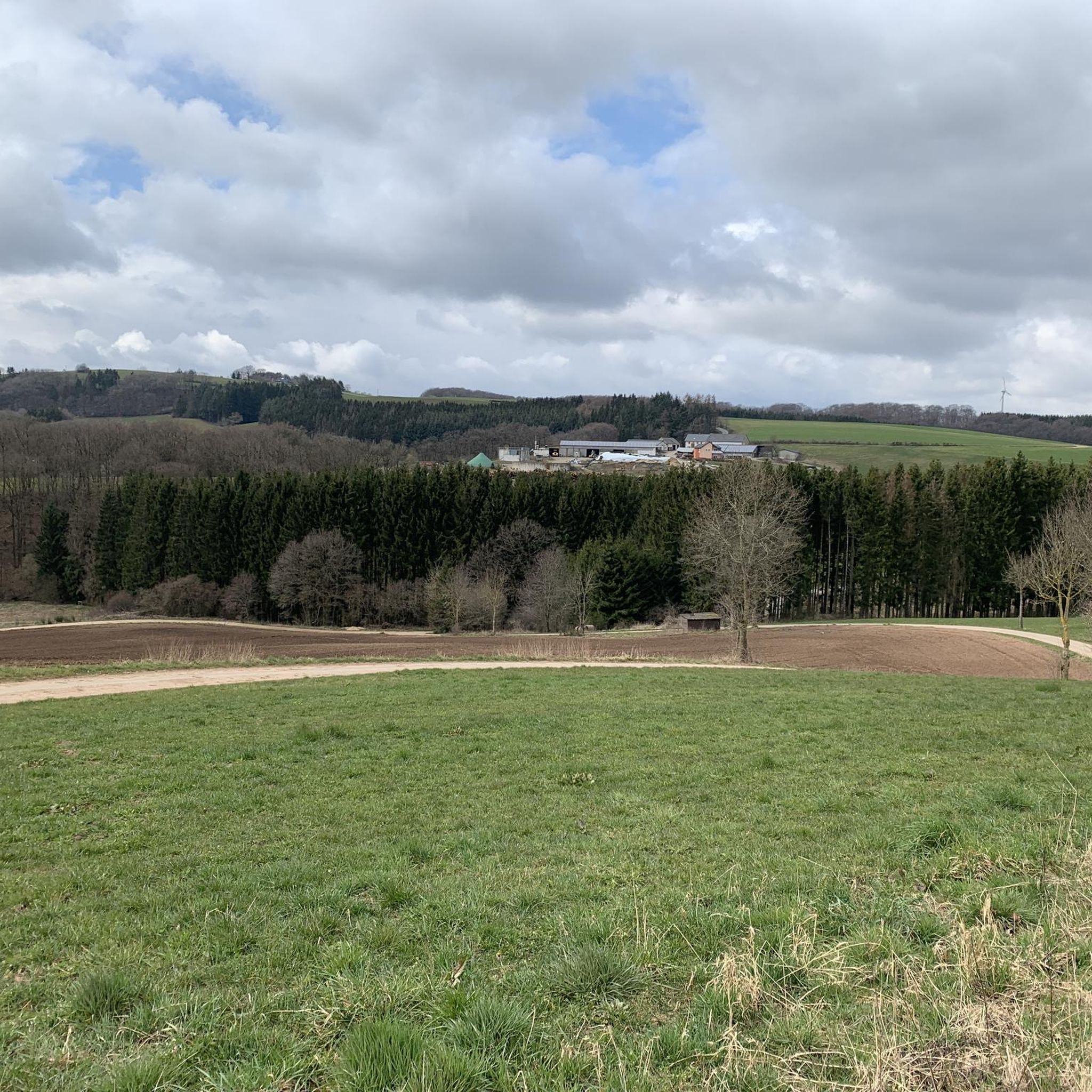
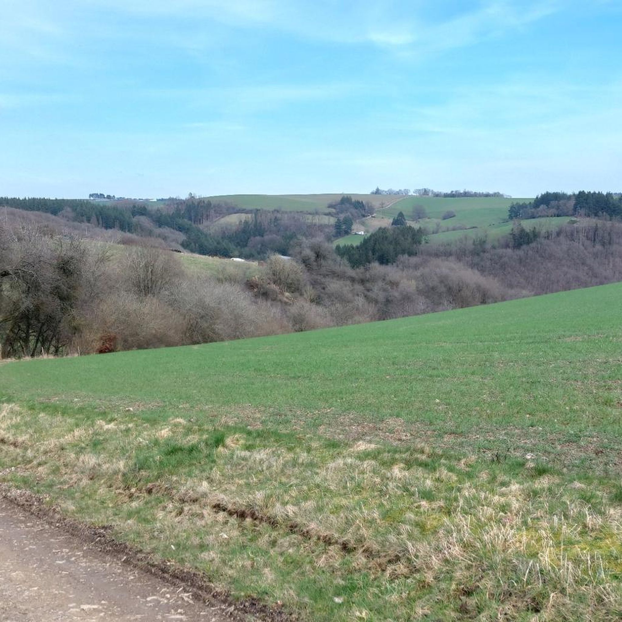
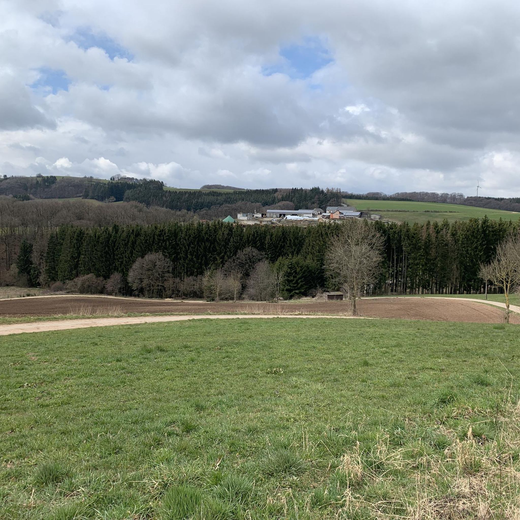
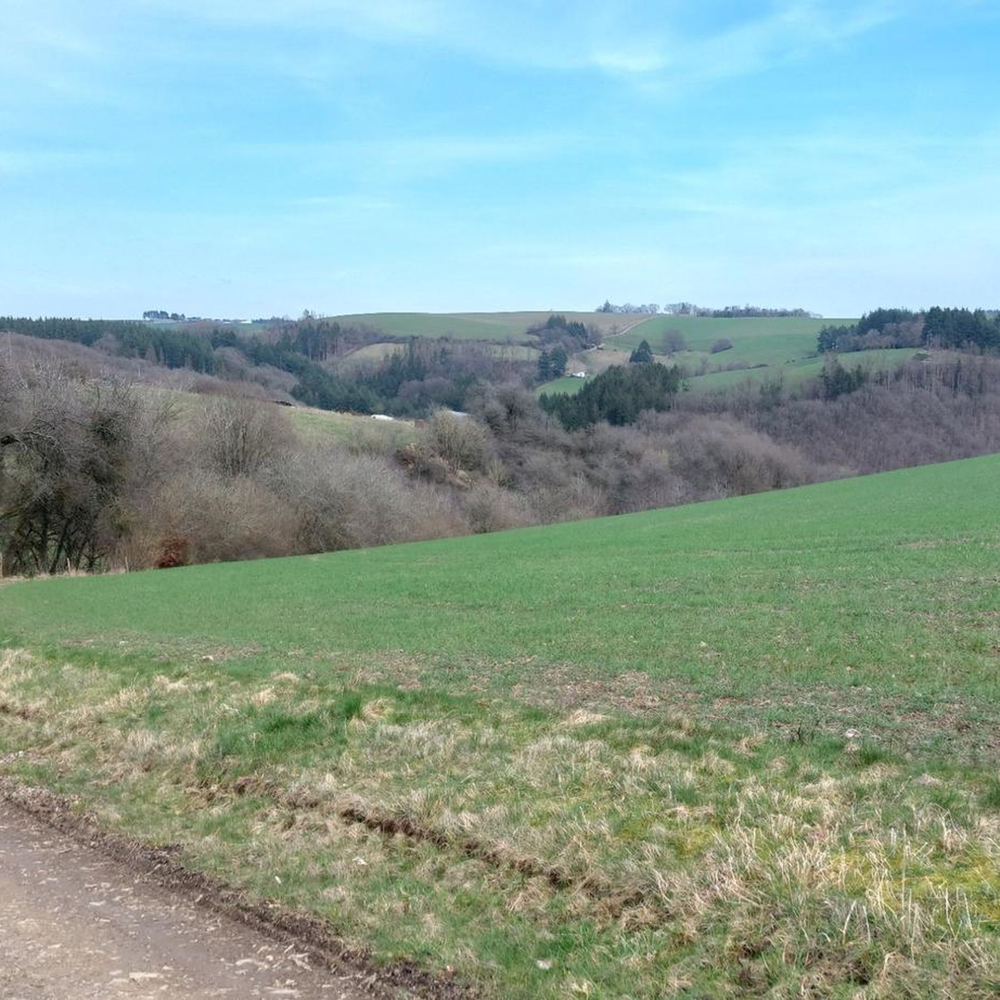
Tips from the Community

The House As early as 1052, a medieval defensive structure in Hamm was mentioned, which was repeatedly adapted to contemporary needs over the centuries through alterations and new constructions. It stands on the site of a much older, early medieval refuge castle, where the inhabitants of the surrounding manors could retreat in times of danger during the Migration Period. The present appearance is significantly shaped by the surrounding and defensive walls as well as a residential complex from the Gothic period. The complex has dimensions of 40 x 80 m. The oldest building, still preserved in its basic structure, can be traced back to the Romanesque period and includes, among other things, the chapel, which was converted in the Baroque style in 1700. Two round towers frame a palace from the 14th century, also dating back to the late Gothic period, which was replaced by a Renaissance building in 1586. After a long period of vacancy around the mid-19th century, a fundamental renovation with some structural changes took place from 1885-1896. The Renaissance palace, like parts of the adjacent Gothic building, fell victim to arson by German troops in 1945, who did not want to let any German cultural heritage fall into the hands of the Allies. The post-war reconstruction secured the courtyard facade of the Renaissance palace, but removed the garden side, which was heavily destroyed by the building fabric, and added a small half-timbered structure in its place. The Family The original owners of Hamm were the Counts of Hamm, who served as vogts of the Abbey of Prüm. It was a fief of the Counts of Vianden, with whom they had close family ties. For a long time, the Bidgau was also administered from here. In 1371, the property was passed on through the marriage of the last of their line, Maria von Hamm, to the von Malberg - Milburg family. The last of her name, Anna von Malberg, married Gerhard von der Horst around 1580, the builder of the Renaissance palace. About 100 years later, the property passed through the marriage of the last von der Horst to the Counts Lannoy, who, after a hall collapse in connection with a fire in 1835, in a part of the building no longer preserved today, retreated entirely to their homeland of Clerf (Clervaux/Luxemburg). After the castle stood empty and the estate fell into disrepair, a descendant of theirs, Baroness Sidonie v. Tornaco, finally received the inheritance. She married Count Friedrich v. Renesse and, with him, carried out the aforementioned fundamental renovation. Their daughter Elisabeth married Egon Graf von und zu Westerholt und Gysenberg in 1909. Their son Otto managed and lived in Hamm with his family. After his death in 1980, his son Ferdinand took over the property and the house. Since 1998, Schloss Hamm has been partially accessible to the public through tours, weddings, registry office branch, festivals and cultural events, and much more.
0
0

I don't think the bridge is broken. It's just that the railing is missing on one side. But I'm not sure if that's intentional.
0
0

Caribbean beach in the Eifel region near Biersdorf. Nicely done.
0
0
Flat walk along the reservoir of the River Prum.
0
0


Small trails lead you through the forest, past streams, over small bridges and along slopes. It's fun!
0
0

Settlement above the Prüm that was finally abandoned in 1990 (https://de.wikipedia.org/wiki/Staudenhof_(Mauel)). Of most of the buildings, only the "outer shell" remains, the others are completely barricaded. Nevertheless, it is a special place that is worth a visit :)
1
0
Frequently Asked Questions
How many running trails are available around Uppershausen?
There are over 35 dedicated running trails around Uppershausen, offering a wide range of options for different fitness levels. These include 3 easy routes, 23 moderate routes, and 10 more challenging paths.
What kind of terrain can I expect on jogging routes near Uppershausen?
The jogging routes around Uppershausen offer a diverse landscape, typical of the Eifel region. You can expect a mix of accessible paths, including scenic routes around the Bitburg Reservoir with water views, varied forest trails, and rolling hills. Some paths feature significant elevation gains, while others are more gentle, catering to different preferences.
Are there easy running routes for beginners in Uppershausen?
Yes, Uppershausen offers several easy running routes suitable for beginners. While not explicitly listed as 'easy' in the guide, a moderate route like the Enz Waterfalls, Neuerburg loop from Plascheid, which is 4.2 miles (6.7 km) long, provides a good starting point with manageable elevation changes and beautiful scenery.
Can I find circular running routes in Uppershausen?
Absolutely. Many of the running paths around Uppershausen are designed as circular routes, allowing you to start and finish in the same location. An example is the Running loop from Neuerburg, a 5.7 miles (9.2 km) trail that takes you through varied terrain near the town.
What do other runners say about the trails in Uppershausen?
The running routes in Uppershausen are highly regarded by the komoot community, with an average score of 4.6 stars from over 60 reviews. More than 700 runners have explored the area, often praising the varied terrain, scenic views, and the well-maintained paths that make for an enjoyable outdoor experience.
Are there any running routes that pass by waterfalls?
Yes, for those who enjoy running near natural water features, the Enz Waterfalls, Neuerburg loop from Plascheid is a great option. This moderate 4.2 miles (6.7 km) route allows you to experience the beauty of the Enz Waterfalls near Neuerburg.
Are the running trails in Uppershausen suitable for families?
Many of the trails around Uppershausen, especially the easier and moderate ones, can be enjoyed by families. Routes with less significant elevation gain and well-maintained surfaces are ideal. Consider paths around the Bitburg Reservoir for a more relaxed experience, or the Enz Waterfalls, Neuerburg loop from Plascheid for a scenic, moderate option.
Are there any specific viewpoints or landmarks along the running routes?
Yes, the region offers several points of interest. For panoramic views, consider routes that pass by the Mariensäule Waxweiler. The Viewpoint – Mariensäule Waxweiler loop from Waxweiler specifically highlights challenging ascents to such scenic spots. Additionally, the Bitburg Reservoir itself is a major landmark with a Lakeside Promenade.
What are the best seasons for running in Uppershausen?
Uppershausen, located in the Eifel region, offers beautiful running conditions throughout much of the year. Spring and autumn are particularly pleasant with mild temperatures and vibrant natural colors. Summer is also suitable, especially in the forested areas, but it's advisable to run in the mornings or evenings to avoid the midday heat. Winter running is possible, but trail conditions may vary with snow or ice.
Are there any longer, more challenging running routes for experienced runners?
Experienced runners will find several challenging options. The Bitburg Reservoir – Mariensäule Waxweiler loop from Waxweiler is a demanding 23.3 miles (37.5 km) trail with significant elevation changes, taking about 4 hours 10 minutes to complete. Another difficult option is the Mariensäule Waxweiler – Mariensäule Waxweiler loop from Waxweiler, spanning 18.7 miles (30.1 km).
Are there options for parking near the running trails in Uppershausen?
While specific parking details for every trail are not provided, the region's infrastructure for outdoor activities, including hiking and cycling, suggests that parking is generally available at common starting points for trails, especially near popular areas like the Bitburg Reservoir or towns like Waxweiler and Neuerburg.
Can I reach the running trails using public transport?
Uppershausen is situated in a rural part of the Eifel region. While some regional bus services connect the smaller towns and villages, direct public transport access to every trailhead might be limited. It's advisable to check local bus schedules for connections to key starting points like Waxweiler or Neuerburg, from where many routes begin.
Most popular routes around Uppershausen
Most popular attractions around Uppershausen

Get inspired with the komoot mobile app


Explore more
Browse the best Running Trails & Routes in other regions.
