The best walks and hikes around Angecourt
4.3
(290)
1,398
hikers
11
hikes
Hiking around Angecourt offers access to the diverse landscapes of the Ardennes department in France. The region is characterized by hilly, forested terrain, meandering river valleys, and elevated plateaus. Hikers can expect routes through dense woodlands and along scenic streams, providing varied natural backdrops. The topography includes both gentle paths and more strenuous climbs, with elevations reaching over 290 meters on some trails.
Best hiking trails around Angecourt
- The most popular hiking route is Angecourt Church loop from Angecourt,…
Last updated: June 26, 2026
5.0
(7)
6
hikers
11.0km
03:00
170m
170m
Moderate hike. Good fitness required. Easily-accessible paths. Suitable for all skill levels.
5.0
(27)
5
hikers
6.80km
01:54
130m
130m
Easy hike. Great for any fitness level. Easily-accessible paths. Suitable for all skill levels.

Sign up for free
5.0
(1)
5
hikers
16.9km
04:41
290m
290m
Moderate hike. Good fitness required. Easily-accessible paths. Suitable for all skill levels.
5.0
(1)
3
hikers
7.84km
02:13
170m
170m
Moderate hike. Good fitness required. Easily-accessible paths. Suitable for all skill levels.
2
hikers
5.97km
01:43
140m
140m
Easy hike. Great for any fitness level. Easily-accessible paths. Suitable for all skill levels.
Get access to more routes and recommendations from other explorers.
Sign up for free
Already have an account?
Our route recommendations are based on thousands of hikes, rides, and runs completed by other people on komoot.
Start today with a free account
Your next adventure awaits.
Login or Signup

Tips from the Community

This magnificent building is located in the center of Raucourt-et-Flaba. While its parish would have been founded in the year 400. The Saint-Nicaise church dates from 1061. The work has retained its appearance of the time, despite restorations in the 18th and 19th centuries. Inside, there are three altars and a remarkable baptismal font made up of a carved Givet stone tank.
3
0


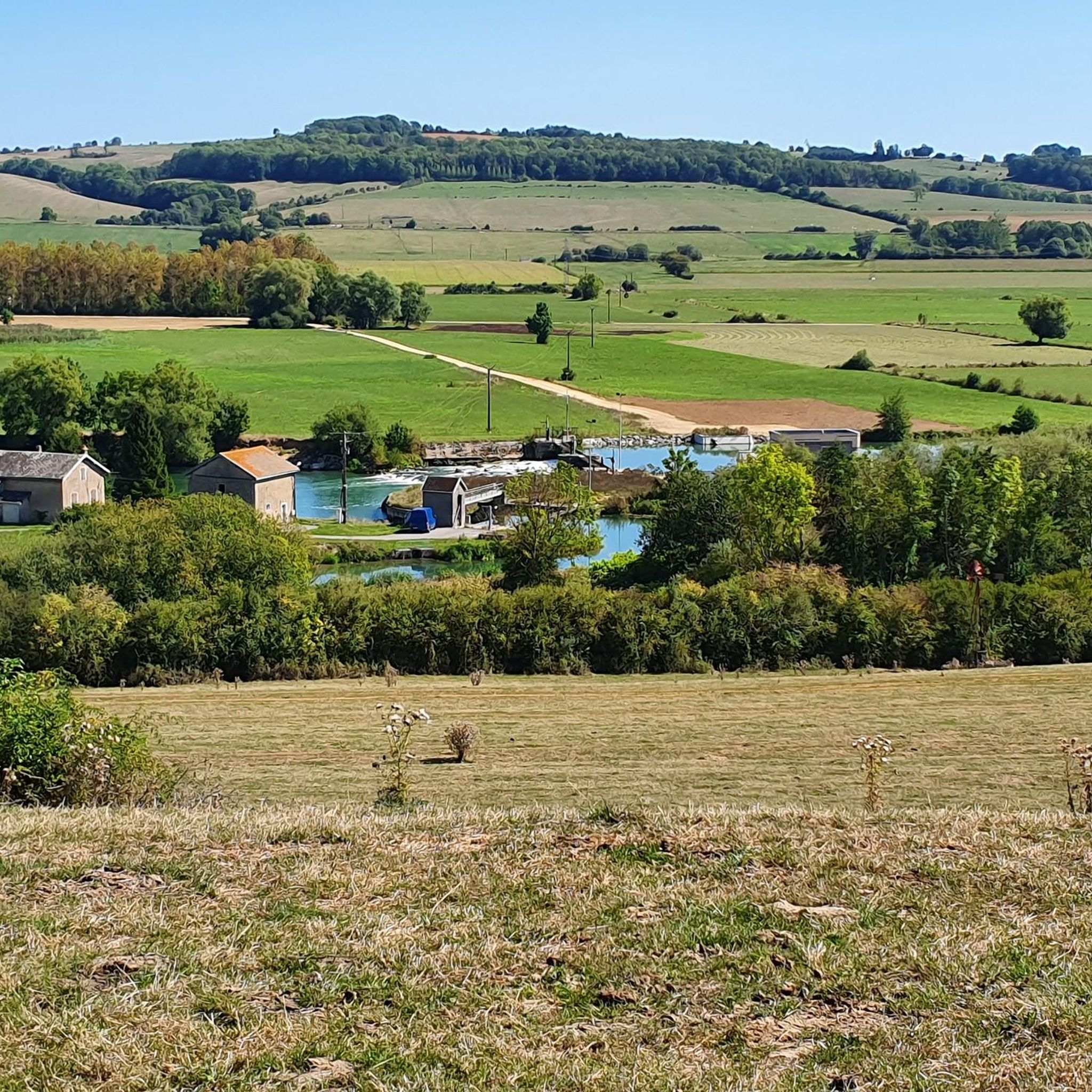
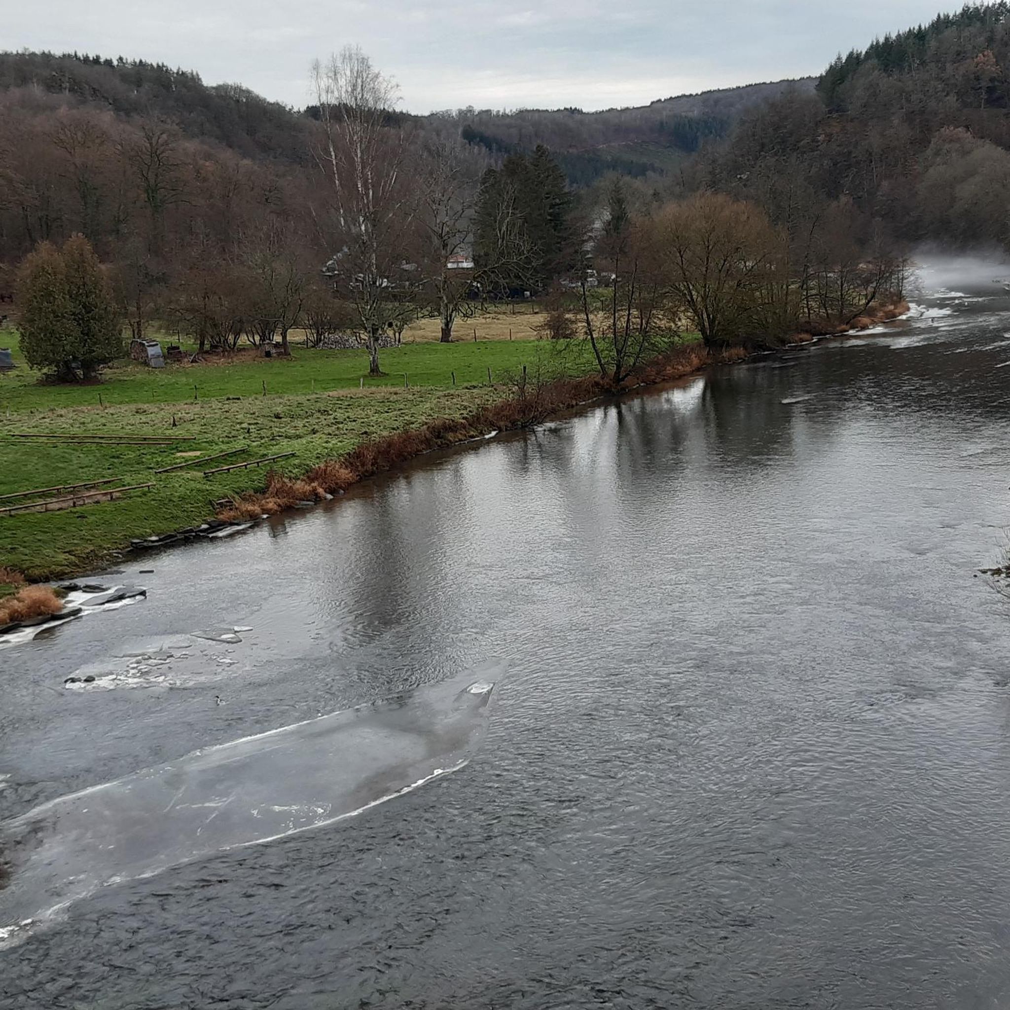
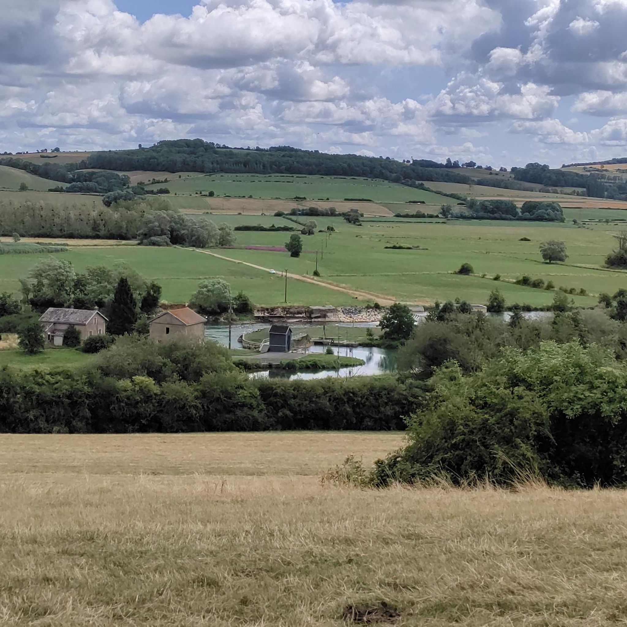
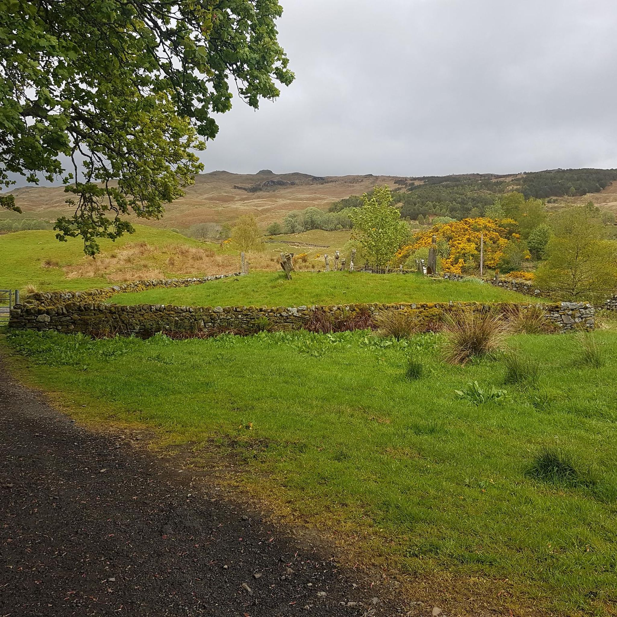
Just enjoy the soothing scenery.
2
0
Angecourt is a commune in the French department of Ardennes in the Grand Est region and has 391 inhabitants (2018). The place is part of the district of Sedan. The commune was part of the canton of Raucourt-et-Flaba until it was abolished on March 22 and communes were incorporated into the canton of Vouziers. The surface of Angecourt is 3.7 km², the population density is 94.6 inhabitants per km². Source: https://nl.wikipedia.org/wiki/Angecourt
2
1
Angecourt is a commune in the Ardennes department of France in the Grand Est region and has 391 inhabitants (2018). The place is part of the Sedan district. The surface of Angecourt is 3.7 km², the population density is 94.6 inhabitants per km². Source: https://nl.wikipedia.org/wiki/Angecourt
2
0
Frequently Asked Questions
How many hiking trails are available around Angecourt?
There are over 170 hiking routes around Angecourt, offering a wide variety of options for different skill levels and preferences. These trails explore the diverse landscapes of the Ardennes, from dense forests to river valleys.
What kind of terrain can I expect on hikes near Angecourt?
Hikes around Angecourt feature varied terrain characteristic of the Ardennes. You can expect hilly, forested landscapes, meandering river valleys, and elevated plateaus. Trails often lead through dense woodlands and along scenic streams, providing a mix of gentle paths and more strenuous ascents.
Are there easy hiking options for beginners or families in Angecourt?
Yes, Angecourt offers a good selection of easy hikes suitable for beginners and families. Approximately 62 of the routes are classified as easy, typically lasting up to 2 hours with around 1,000 feet of elevation gain. These paths are generally accessible and enjoyable for all skill levels. For example, the Angecourt Church loop from Angecourt is an easy 6.8-mile trail.
Are there any circular hiking routes around Angecourt?
Many of the hiking trails around Angecourt are designed as circular routes, allowing you to start and end in the same location. For instance, the Hiking loop from Angecourt is an easy 5.9-kilometer circular trail that takes about 1 hour 42 minutes to complete.
What are the longer hiking options for experienced hikers?
For more experienced and fit hikers, Angecourt offers several longer and more challenging routes. Some trails can take up to 5 hours or more and involve significant elevation gains, requiring good fitness and sure-footedness. An example is the Angecourt Village and Church – Angecourt Church loop from Angecourt, a moderate 10.5-mile path with nearly 300 meters of elevation gain.
What natural features or landmarks can I see while hiking in Angecourt?
While hiking around Angecourt, you'll primarily encounter the natural beauty of the Ardennes, including dense forests, river valleys, and scenic hills. For historical landmarks nearby, you could explore the Upper Castle of Sedan or the Abbatiale Notre-Dame de Mouzon, which are within reach of the area.
Is Angecourt suitable for dog-friendly hikes?
The natural environment of Angecourt, with its extensive forests and trails, is generally welcoming for dog-friendly hikes. Many paths wind through woodlands and open fields, providing ample space for dogs. However, it's always advisable to keep dogs on a leash, especially in areas with wildlife or near livestock, and to check local regulations for specific trails.
What do other hikers say about the trails in Angecourt?
The hiking trails in Angecourt are highly regarded by the komoot community, with an average rating of 4.3 stars from over 270 reviews. Hikers often praise the quiet woodlands, varied landscapes, and the well-maintained nature of the paths, making for an enjoyable outdoor experience.
Are there any scenic viewpoints on the hikes around Angecourt?
The varied topography of Angecourt, with its hilly terrain and elevated plateaus, offers opportunities for scenic viewpoints. Many trails lead to higher elevations, providing beautiful vistas of the surrounding valleys and the Ardennes landscape. Look for routes that mention 'hilly' or 'plateau' in their descriptions for the best chances of panoramic views.
What is the best time of year to go hiking in Angecourt?
Angecourt is suitable for hiking throughout much of the year. Spring and autumn offer pleasant temperatures and beautiful scenery with blooming flowers or vibrant fall foliage. Summer is also popular, though some trails might be warmer. Winter hiking is possible, especially in the extensive woodlands, but requires appropriate gear and caution for potentially slippery conditions.
Is there parking available at the trailheads in Angecourt?
While specific parking information for every trailhead isn't always detailed, Angecourt is a rural area, and many trailheads or starting points in and around the village typically offer roadside parking or small designated areas. It's recommended to check the individual tour descriptions on komoot for more precise parking suggestions for your chosen route.
Are there any long-distance hiking opportunities near Angecourt?
Angecourt is situated within the broader Ardennes Regional Natural Park, which boasts over 1,200 km of marked footpaths. This extensive network means that while individual routes directly from Angecourt might be shorter, you can connect to longer sections of these regional trails for extended hiking adventures, catering to multi-day treks for very fit and experienced hikers.
Most popular attractions around Angecourt

Get inspired with the komoot mobile app


Explore more
Browse the best Hikes in other regions.
