The best running trails around Niedergeckler
4.2
(52)
660
runners
41
runs
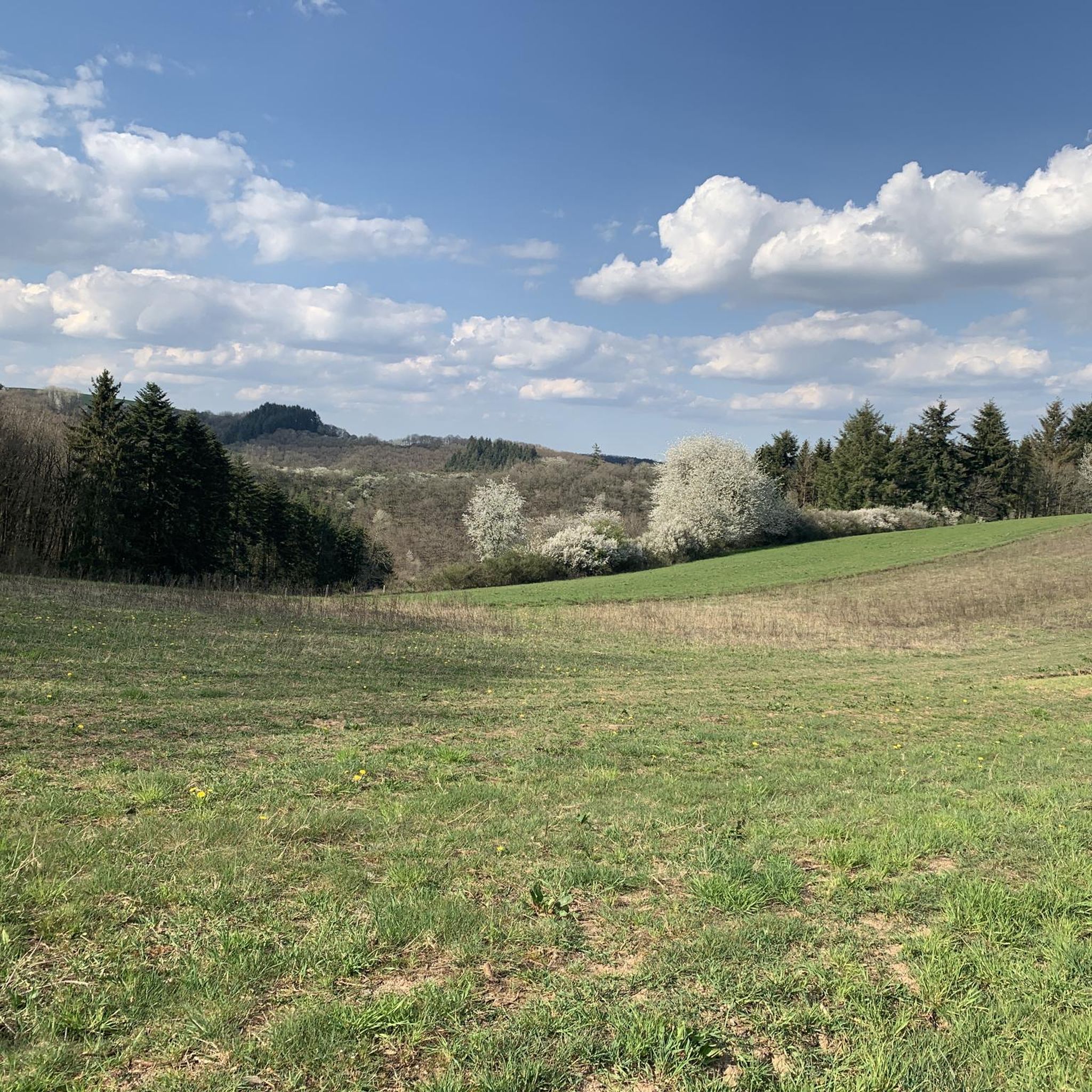
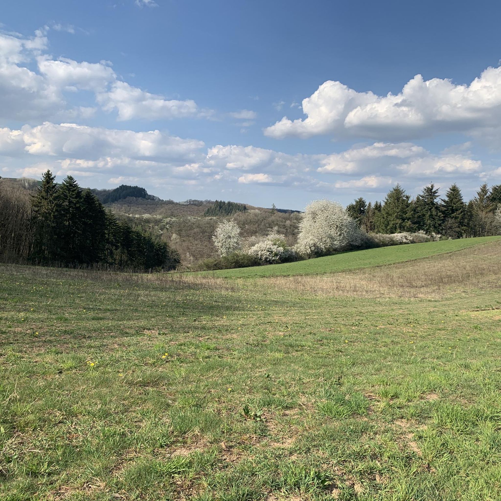
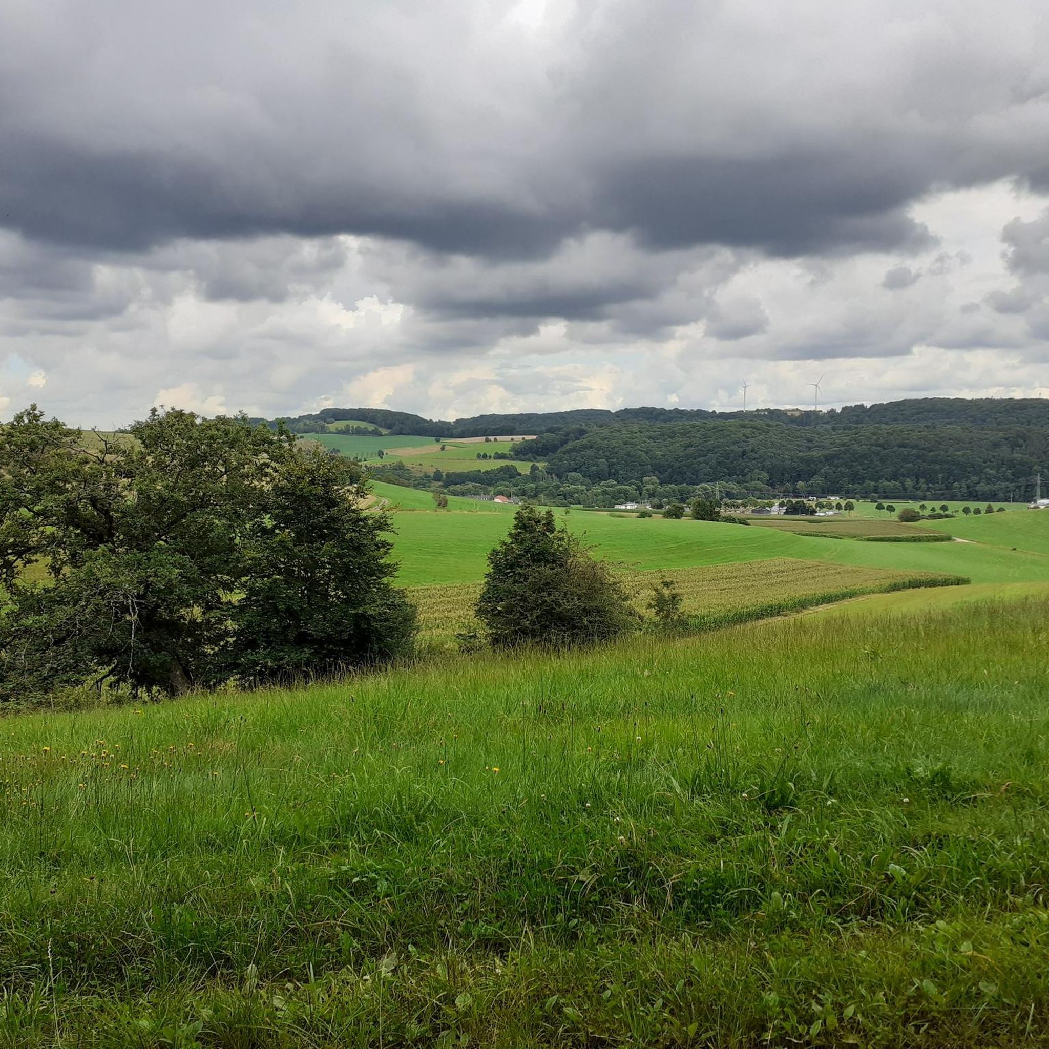
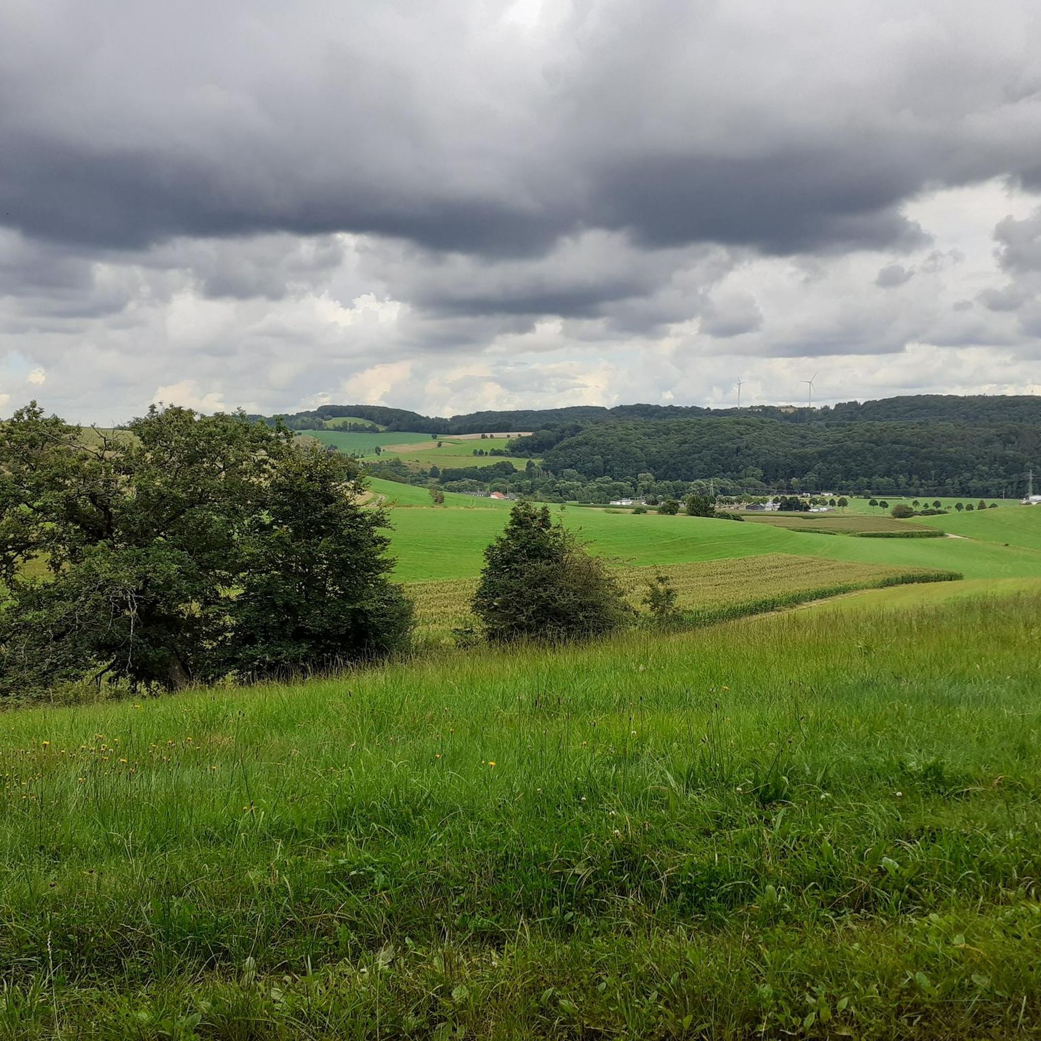
Jogging routes around Niedergeckler traverse a landscape characterized by rolling hills and forested areas, offering varied terrain for runners. The region features a network of paths that wind through rural settings, with moderate elevation changes. These running trails often follow natural contours, providing a mix of open stretches and shaded sections.
Best jogging routes around Niedergeckler
- The most popular jogging route is Running loop from Neuerburg, a 5.7 miles (9.2 km) trail that takes 1 hour 0 minutes to…
Last updated: July 3, 2026
3.5
(2)
16
runners
9.21km
01:00
100m
100m
Moderate run. Good fitness required. Mostly paved surfaces. Suitable for all skill levels.
3.7
(3)
17
runners
Moderate run. Good fitness required. Mostly paved surfaces. Suitable for all skill levels.

Sign up for free
8
runners
9.14km
01:01
150m
150m
Moderate run. Good fitness required. Mostly paved surfaces. Suitable for all skill levels.
7
runners
19.4km
02:19
520m
520m
Hard run. Very good fitness required. Mostly paved surfaces. Suitable for all skill levels.
4.0
(1)
6
runners
6.97km
00:44
90m
90m
Moderate run. Good fitness required. Mostly paved surfaces. Suitable for all skill levels.
Get access to more routes and recommendations from other explorers.
Sign up for free
Already have an account?
Our route recommendations are based on thousands of hikes, rides, and runs completed by other people on komoot.
Start today with a free account
Your next adventure awaits.
Login or Signup

Tips from the Community


it is worth climbing the Beilstoren
0
0

The hatchet tower is located on a rock east of Neuerburg's market square. It was built in the 16th century and is an outbuilding of the old city fortifications. Until the end of the 18th century it served as the apartment of the city's fire watchman. You can reach the Beilsturm from the market square or from Beilsbachstrasse. From the top, newly designed viewing platform of the tower you have a wonderful view over the medieval town center of Neuerburg.
3
0
From up here you have a wonderful view of Neuerburg. The short climb was definitely worth it.
2
0

The Neuerburgertunnel was part of the Pronsfeld-Neuerburg railway line, also known as the Enztalbahn, a branch line in the Eifel that ran from Pronsfeld station on the Westeifelbahn to Neuerburg. The route initially led uphill from Pronsfeld before following the River Enz from Arzfeld to Neuerburg. The railway opened on July 6, 1907, along with the Pronsfeld-Waxweiler route. During World War II, the routes were severely damaged and traffic did not resume until October 17, 1949. Passenger service on the branch line was discontinued on June 1, 1969, and freight service ceased on May 18, 1989. Today, the former route is used as part of the Enztal cycle path. The Neuerburg-Zweifelscheid cycle path was opened in 2002 and the Zweifelscheid-Arzfeld section in 2005. The rest of the route was extended to Lünebach in 2007 and connected to the cycle path on the Pronsfeld-Waxweiler route. Since the autumn of 2011, the cycle path has been completely asphalted.
11
2

Neuchâtel tunnel of the former railway line. More information: https://de.wikipedia.org/wiki/Bahnstrecke_Pronsfeld%E2%80%93Neuerburg?wprov=sfla1
6
1
Frequently Asked Questions
How many running routes are available around Niedergeckler?
There are over 40 running routes in the Niedergeckler area, offering a variety of options for different fitness levels and preferences. These routes traverse rolling hills and forested areas, characteristic of the Eifel region.
Are there easy running routes suitable for beginners in Niedergeckler?
While most routes in Niedergeckler are classified as moderate, many offer gentle ascents and descents through the local countryside, making them accessible for beginners. For example, the Running loop from Neuerburg is a popular moderate trail that is well-suited for those looking for a comfortable run.
Can I find challenging running trails in Niedergeckler?
Yes, Niedergeckler offers several challenging running trails. There are 10 routes classified as difficult, featuring more significant elevation changes and longer distances. An example is the Along the Radenbach – Pilgrimage Church Weidingen loop from Weidingen, which is nearly 19 km long with substantial elevation gain.
Are the running routes in Niedergeckler dog-friendly?
Many of the running routes in Niedergeckler, especially those through forested and rural areas, are generally dog-friendly. It's always recommended to keep dogs on a leash, especially near wildlife or agricultural areas, and to check local regulations for specific trails.
Are there family-friendly running options in Niedergeckler?
Yes, several moderate routes with varied terrain can be enjoyed by families. The natural setting with a mix of open stretches and shaded sections provides an engaging environment. Consider routes that are shorter in distance and have less steep climbs for a more comfortable family experience.
What kind of scenery can I expect on the running trails in Niedergeckler?
The running trails in Niedergeckler offer diverse scenery, including rolling hills, dense forests, and rural landscapes. You can find routes with views of natural features like the Enz Waterfalls on the Enz Waterfalls, Neuerburg loop from Plascheid, as well as picturesque countryside vistas.
Are there circular running routes available in Niedergeckler?
Yes, many of the running routes around Niedergeckler are designed as loops, allowing you to start and finish at the same point. Examples include the Running loop from Utscheid and the Running loop from Körperich, which are popular choices for their convenience.
What do other runners enjoy most about jogging in Niedergeckler?
The running routes in Niedergeckler are highly rated by the komoot community, with an average score of 4.3 stars from over 40 reviews. Runners frequently praise the varied terrain, the peaceful forested paths, and the well-maintained network of trails that offer both moderate and challenging experiences.
Are there any interesting landmarks or attractions near the running routes?
Yes, the region around Niedergeckler features several points of interest. While running, you might be close to historical sites like Vianden Castle or natural formations such as the Lätgesberg Ridge Rock Path. The Our Dam with Mural is another notable man-made monument in the vicinity.
What is the best season for running in Niedergeckler?
Niedergeckler offers enjoyable running conditions throughout much of the year. Spring and autumn provide pleasant temperatures and beautiful scenery with blooming flowers or vibrant fall foliage. Summer is also suitable, especially on shaded forest paths, while winter running can be picturesque, though some trails might require appropriate footwear due to snow or ice.
Is parking available at the trailheads for running routes in Niedergeckler?
Yes, many of the running routes in Niedergeckler start from villages or accessible points where parking is typically available. It is advisable to check the specific route details on komoot for information on designated parking areas near the trailheads.
Most popular routes around Niedergeckler
Most popular attractions around Niedergeckler

Get inspired with the komoot mobile app


Explore more
Browse the best Running Trails & Routes in other regions.
