The best walks and hikes around Adlkofen
4.6
(2144)
11,022
hikers
15
hikes
Hiking around Adlkofen offers a diverse landscape characterized by rolling hills, dense forests, and the Isar river valley. The region features a well-developed network of trails that traverse varied terrains, including the "Former military training area Landshut with Isarleite" nature reserve. These natural features provide a range of scenic experiences for hikers.
Best hiking trails around Adlkofen
- The most popular hiking route is Shepherd's station – Forest path near Landshut loop from Ehemaliger Standortübungsplatz Landshut mit Isarleite, a 4.6…
Last updated: July 4, 2026
4.7
(43)
143
hikers
Moderate hike. Good fitness required. Easily-accessible paths. Suitable for all skill levels.
5.0
(2)
42
hikers
Easy hike. Great for any fitness level. Easily-accessible paths. Suitable for all skill levels.

Sign up for free
5.0
(2)
11
hikers
Moderate hike. Good fitness required. Easily-accessible paths. Suitable for all skill levels.
10
hikers
6.33km
01:41
70m
70m
Easy hike. Great for any fitness level. Easily-accessible paths. Suitable for all skill levels.
5.0
(1)
12
hikers
Easy hike. Great for any fitness level. Easily-accessible paths. Suitable for all skill levels.
Get access to more routes and recommendations from other explorers.
Sign up for free
Already have an account?
Our route recommendations are based on thousands of hikes, rides, and runs completed by other people on komoot.
Start today with a free account
Your next adventure awaits.
Login or Signup
Tips from the Community

The Waldgreut radio tower is a steel lattice tower approximately 20 meters high.
0
0

Training areas have a special flora and fauna.
3
0

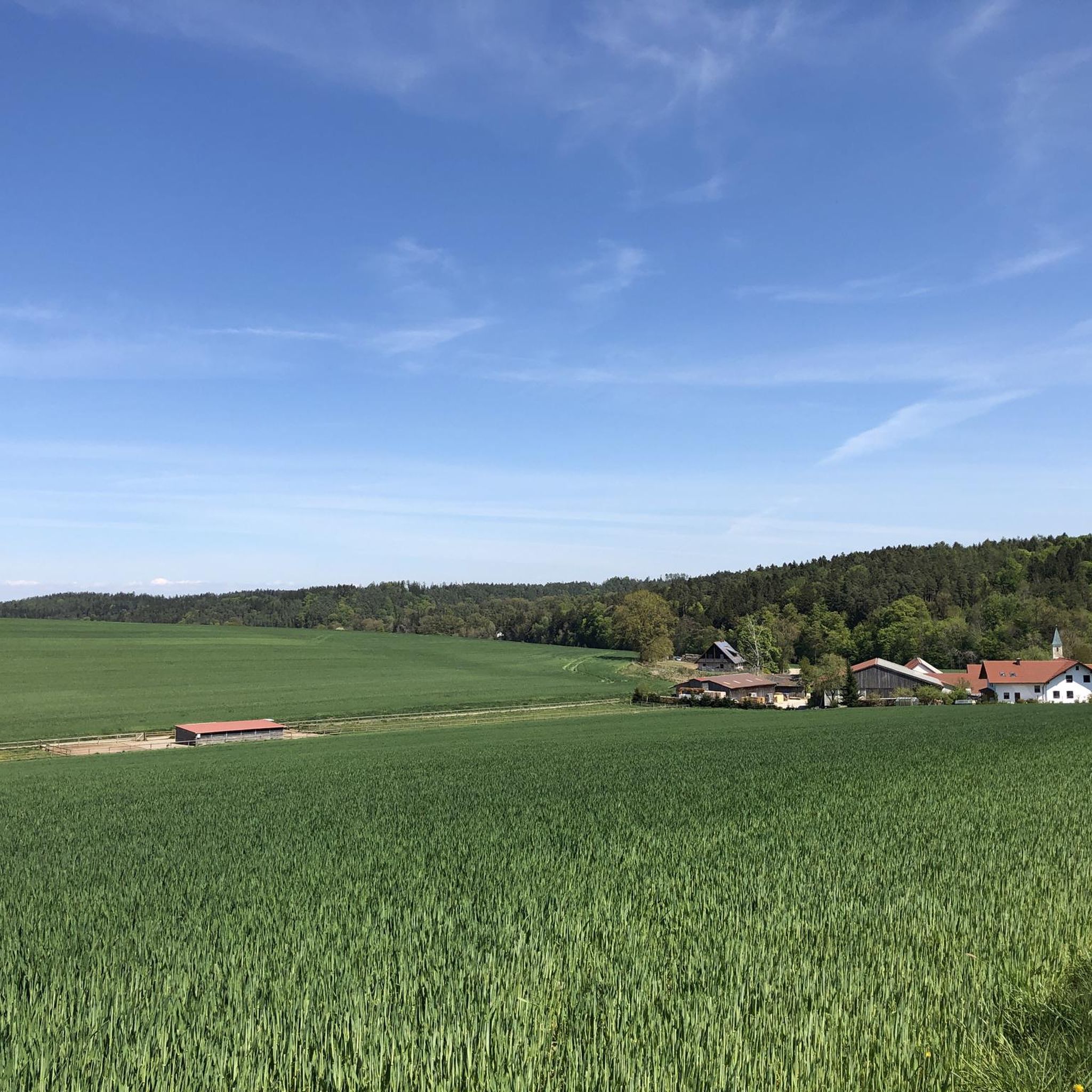
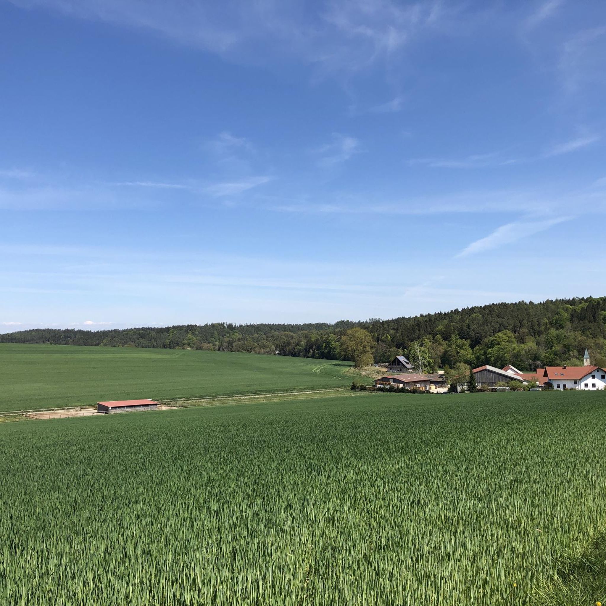
Great view down to Auloh and the Altheim reservoir.
0
0

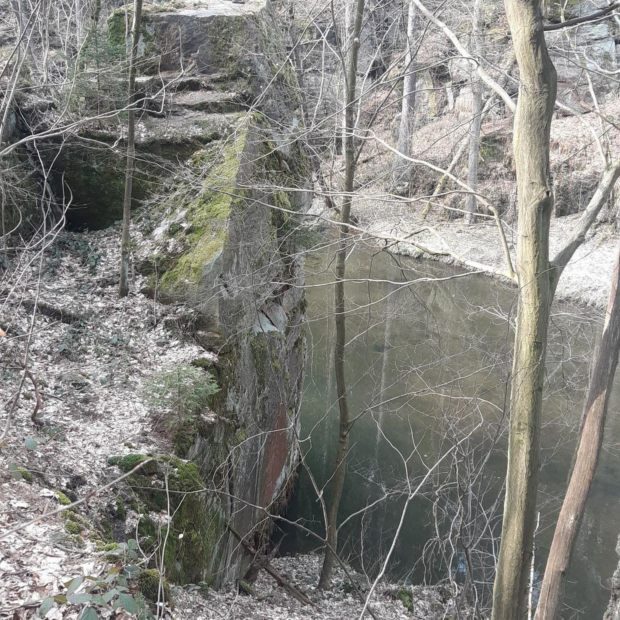
Small biotope on the former military training area
0
0

The Landshut sculptor Karl Reidel created the memorial at Setzensack, which commemorates 67 deaths in a Protestant old people's and nursing home in Tormersdorf on the Neisse. 400 residents of this home fled from the Soviet army in February 1945 and spent weeks travelling in freight wagons. In the end, around 100 of them arrived in Landshut and finally found accommodation in the old, disused brewery of the castle in Deutenkofen on Good Friday, March 30, 1945. Weakened by the illness and the strain of the escape, a total of 67 of them died there between now and 1949. The dead were registered at the Adlkofen registry office. Since the church cemetery in Adlkofen was overcrowded, an alternative plot had to be found. The mayors of Adlkofen and Deutenkofen agreed to bury the dead on a meadow in Setzensack. To this day, the municipality of Adlkofen commemorates the dead from Thormersdorf every year on Remembrance Day at the Setzensack memorial.
0
0

The former training area developed into a wonderful biotope with many rare plants.
1
0

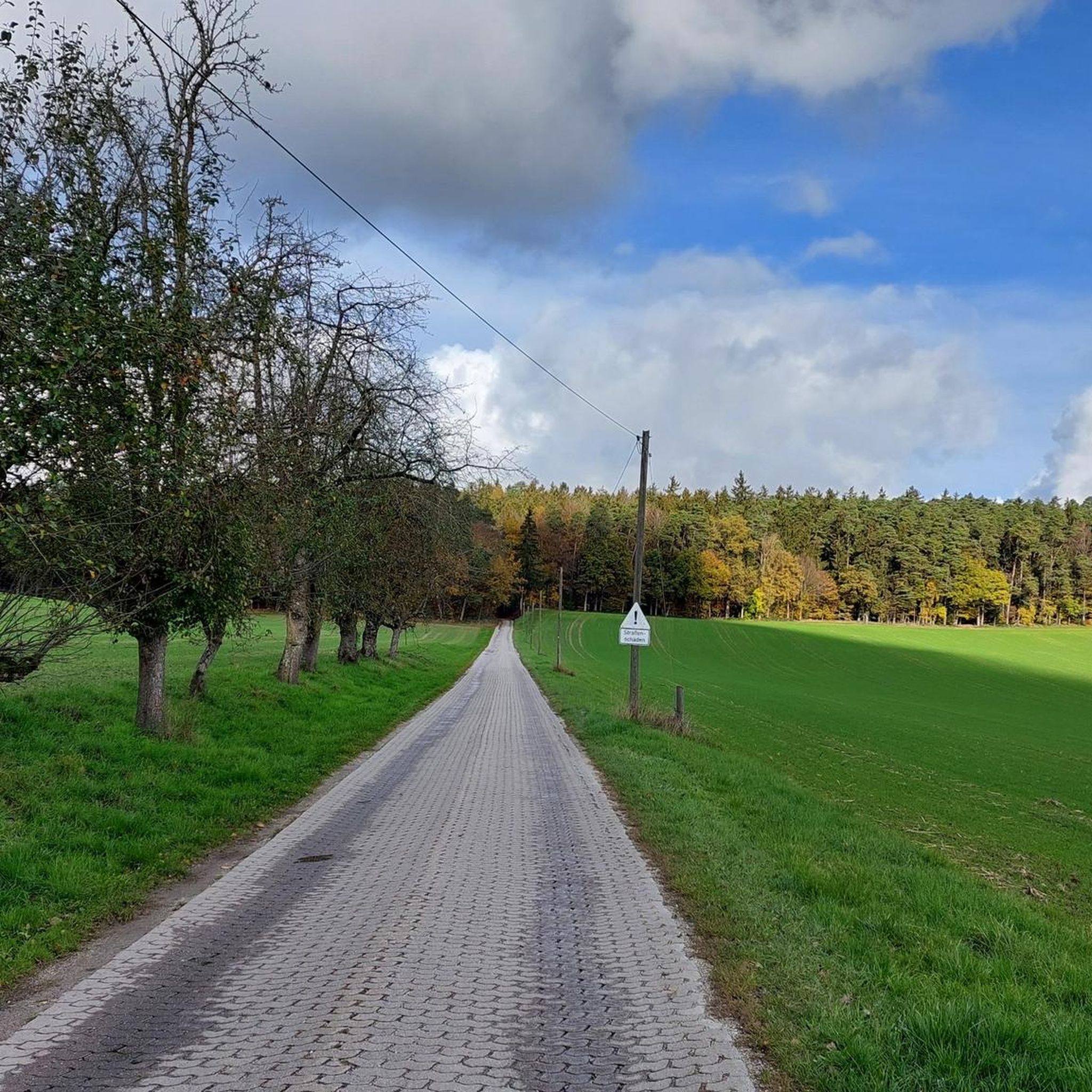
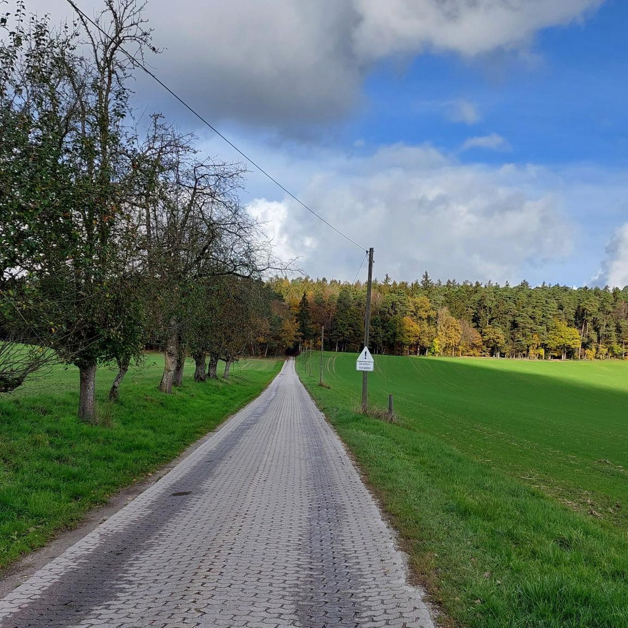
A Landshut natural heritage with countless paths and routes
0
0

Once the ascent has been conquered, a magnificent view over the high plateau with large glass surfaces and trees reveals itself at the top.
0
0
Frequently Asked Questions
How many hiking trails are available in Adlkofen?
Adlkofen offers a selection of 15 hiking routes, catering to various preferences. You'll find 8 easy trails and 7 moderate options, ensuring there's something for every skill level.
What kind of landscapes can I expect to see while hiking in Adlkofen?
The region is characterized by its diverse natural beauty, including rolling hills, dense forests, and picturesque views over the Landshut hill country and the Isar valley. Many trails traverse the former military training area, now a nature reserve, which boasts unique flora and fauna and offers varied scenery.
Are there any easy hiking trails suitable for beginners or a relaxed walk?
Yes, Adlkofen has 8 easy trails. A great option is the Waldgreut Radio Tower – Shepherd's station loop, which is 4.2 km long and leads through parts of the nature reserve with varied scenery. Another easy choice is the Setzensack Memorial loop from Adlkofen, covering 6.3 km.
What are the best seasons for hiking in Adlkofen?
The best seasons for hiking in Adlkofen are spring and autumn. In spring, the landscape comes alive with new growth and blooming plants, while autumn offers a breathtaking backdrop of colorful foliage. These seasons provide pleasant temperatures and vibrant scenery for your outdoor adventures.
Are there any family-friendly hiking trails in Adlkofen?
While specific 'family' trails aren't detailed in the route data, the region research mentions a 'Family Hiking Trail' designed for all ages, incorporating riddles and playful ways to explore nature. Many of the 8 easy routes, such as the Shepherd's station – Plaika Summit Cross loop (4.5 km), would also be suitable for families looking for a relaxed outing.
What do other hikers say about the trails in Adlkofen?
The hiking trails around Adlkofen are highly rated by the komoot community, with an average score of 4.6 stars from over 2000 reviews. Hikers often praise the diverse landscapes, from rolling hills to dense forests, and the well-maintained paths that offer scenic views over the Lower Bavarian hill landscapes and the Isar valley.
Are there any circular hiking routes in Adlkofen?
Yes, many of the trails in Adlkofen are designed as loops, offering convenient circular walks. Examples include the popular Shepherd's station – Forest path near Landshut loop (7.3 km) and the Small Clearing loop (7.4 km), both providing a complete experience back to your starting point.
What points of interest or attractions can I see near the hiking trails?
While hiking, you can explore several interesting sites. The former military training area, now a nature reserve, features a walkable viewing platform with information on local wildlife. Nearby, you can visit historical landmarks such as Trausnitz Castle, the impressive St. Martin's Church in Landshut, or wander through Landshut Old Town. For nature lovers, the Path Along Altheimer Reservoir is also accessible.
Are there any trails that offer particularly good scenic views?
Absolutely. The region is known for its panoramic vistas. The 'Panoramaweg' (Panoramic Path) is specifically designed to lead to some of the most beautiful vantage points, offering breathtaking views over the Landshut hill country and the Isar valley. Many trails within the former military training area also provide excellent views over the Lower Bavarian hill landscapes.
Can I find places to eat or drink near the hiking trails in Adlkofen?
While specific cafes or pubs aren't listed directly on the trails, Adlkofen is a municipality with local amenities. You can typically find options for refreshments in Adlkofen village itself or in nearby towns like Landshut, which is easily accessible from the hiking areas.
What is the typical duration for a hike in Adlkofen?
Hiking durations vary depending on the route and your pace. For example, the Shepherd's station – Forest path near Landshut loop, which is 7.3 km long, typically takes around 2 hours and 2 minutes. Shorter, easy trails like the Waldgreut Radio Tower – Shepherd's station loop (4.2 km) can be completed in less time, often under 1.5 hours.
Most popular routes around Adlkofen
Most popular attractions around Adlkofen

Get inspired with the komoot mobile app


Explore more
Browse the best Hikes in other regions.
