The best running trails around Lautersheim
4.4
(238)
4,413
runners
344
runs
Jogging around Lautersheim offers diverse landscapes within the Donnersbergkreis region, characterized by rolling hills and extensive forests. The area is part of the Palatinate Forest, featuring a mix of deciduous and coniferous trees that provide varied terrain for runners. This includes wooded heights alternating with valleys, creating a dynamic environment for outdoor activities.
Best jogging routes around Lautersheim
- The most popular jogging route is Running loop from Ebertsheim, a 5.2 miles (8.4 km) trail that takes about 53 minutes…
Last updated: July 5, 2026
27
runners
9.06km
00:57
40m
40m
Moderate run. Good fitness required. Mostly paved surfaces. Suitable for all skill levels.
8
runners
8.58km
00:54
70m
70m
Moderate run. Good fitness required. Mostly paved surfaces. Suitable for all skill levels.

Sign up for free
8
runners
5.58km
00:39
20m
20m
Moderate run. Good fitness required. Mostly paved surfaces. Suitable for all skill levels.
5.0
(3)
11
runners
Moderate run. Good fitness required. Mostly paved surfaces. Suitable for all skill levels.
4.6
(5)
9
runners
8.61km
00:55
40m
40m
Moderate run. Good fitness required. Mostly paved surfaces. Suitable for all skill levels.
Get access to more routes and recommendations from other explorers.
Sign up for free
Already have an account?
Our route recommendations are based on thousands of hikes, rides, and runs completed by other people on komoot.
Start today with a free account
Your next adventure awaits.
Login or Signup
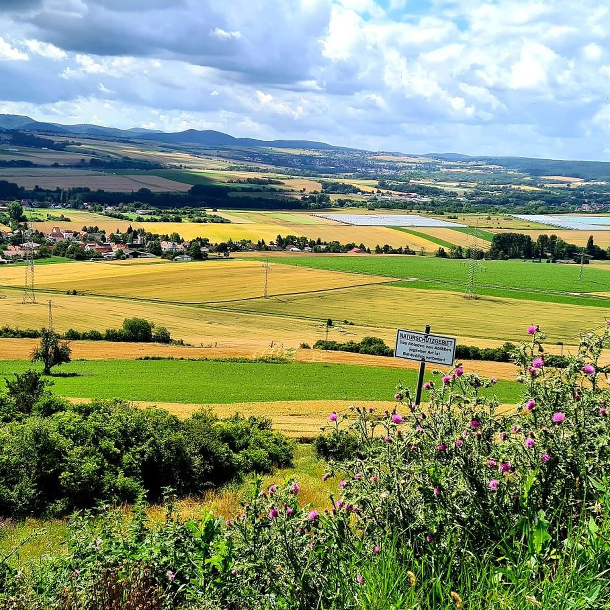
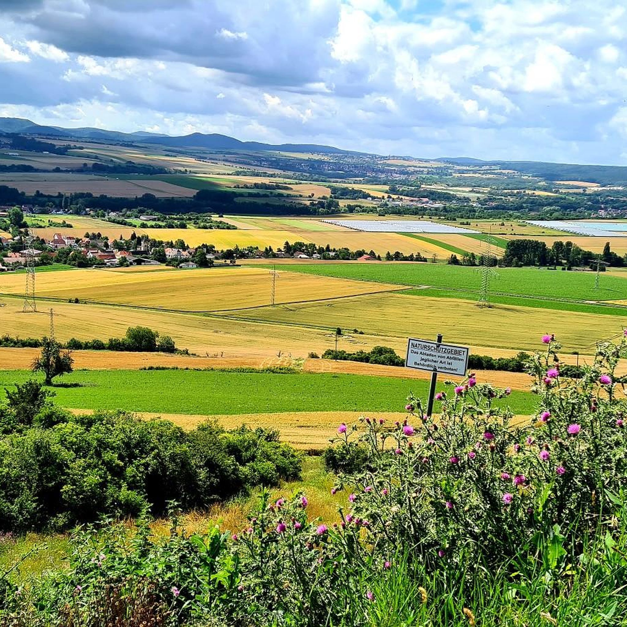
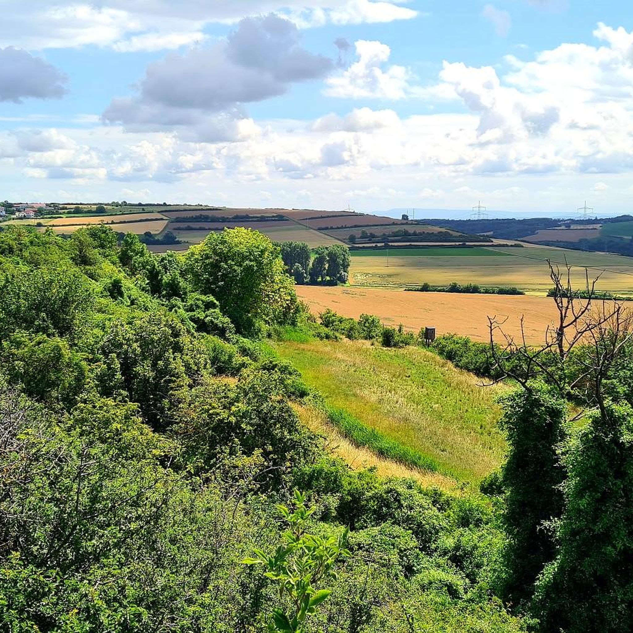
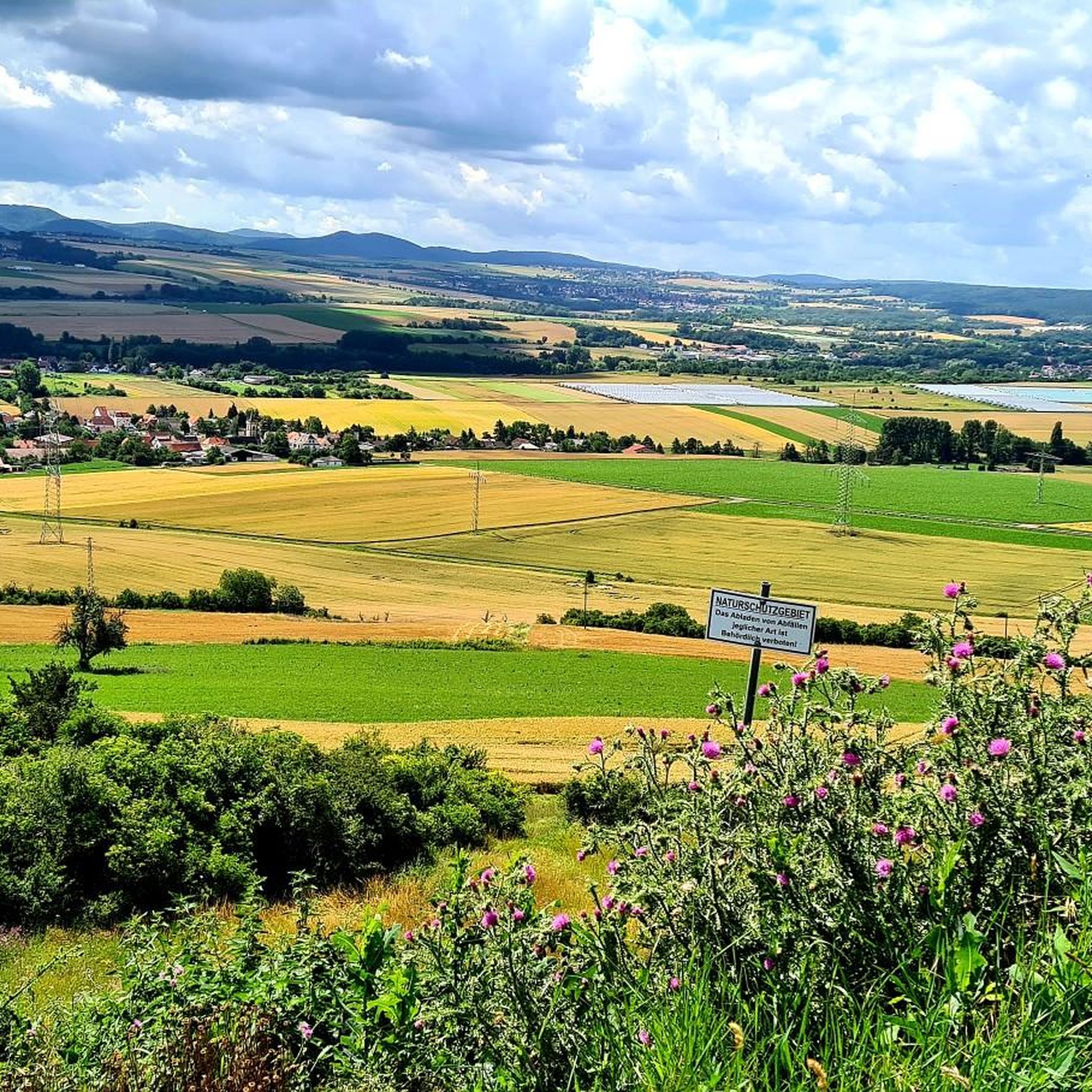
Tips from the Community

Wonderful, this renatured Eisbach, with many great views.
0
0

There is a seating/rest area for parents.
2
0

top cycle path, towards Asselheim it always rolls easily
0
0

The Eistal cycling and hiking trail stretches for approximately 20 kilometers and connects the towns of Asselheim and Eisenberg with the picturesque Eiswoog. Tour description: The route begins in Asselheim and runs mostly on paved roads to Eisenberg, making it particularly pleasant for the first few sections. From Eisenberg to the Eiswoog, the terrain changes:
1
0

Renaturation for flood protection
2
0

In 2019 and 2020, the Eisbach was renaturalized by the municipality of Ebertsheim. Since then, it has not only been a popular excursion destination, but interestingly also serves as flood protection. A small observation tower allows you to admire the whole thing from an elevated position.
3
0
Preferably in the morning at 07: 00
0
0

Great cycle path to avoid the main road with a lot of traffic. You can also ride a racing bike.
0
0
Frequently Asked Questions
How many running routes are available around Lautersheim?
The Lautersheim region offers a vast network of over 300 running routes. These trails cater to various fitness levels, ranging from easy forest paths to more challenging routes with significant elevation changes through the Palatinate Forest.
What kind of terrain can I expect on the jogging trails in Lautersheim?
Jogging around Lautersheim means experiencing the diverse landscapes of the Donnersbergkreis region. You'll find a mix of rolling hills, extensive mixed forests (pine, beech, oak, spruce), and varied terrain, including wooded heights alternating with valleys. The area is part of the Palatinate Forest, offering both moderate paths and more challenging trails.
Are there any family-friendly running routes in Lautersheim?
Yes, there are routes suitable for families. For instance, the Kids' adventure course – View of Donnersberg loop from Lautersheim is a moderate 4.3-mile (7.0 km) trail that offers varied terrain and views towards Donnersberg, making it an engaging option for a family run.
Can I find circular running routes in the Lautersheim area?
Absolutely. Many of the running routes around Lautersheim are designed as loops, allowing you to start and finish at the same point. A popular example is the Running loop from Ebertsheim, a 5.2-mile (8.4 km) trail with moderate elevation changes through forest paths.
What are some notable landmarks or natural features I might see while running near Lautersheim?
The region offers several points of interest. You might encounter historic sites, picturesque viewpoints, and the natural beauty of the Palatinate Forest. Nearby attractions include the Ungeheuersee, and historic structures like the Ruins of Battenberg Castle or Neuleiningen Castle.
Are there running routes with good viewpoints in the Lautersheim region?
Yes, the hilly landscape of the 'Nordpfälzer Bergland' provides opportunities for scenic views. The Kids' adventure course – View of Donnersberg loop from Lautersheim, for example, offers views towards the Donnersberg, the highest mountain in the state, providing a rewarding experience during your run.
What do other runners enjoy most about the trails in Lautersheim?
The running routes in Lautersheim are highly rated by the komoot community, with an average score of 4.3 stars from over 180 reviews. Runners often praise the diverse landscapes, the refreshing natural setting of the Palatinate Forest, and the variety of terrain that caters to different ability levels.
Are there any easy or beginner-friendly running paths around Lautersheim?
Yes, the area provides options for beginners. The Running loop from Lautersheim is a moderate 3.5-mile (5.6 km) path that offers a relatively flat run through local landscapes, ideal for a quicker or less strenuous session.
Is there parking available near the running trails in Lautersheim?
While specific parking locations are not detailed for every route, many trails, especially those starting from villages like Lautersheim or Ebertsheim, typically have accessible parking nearby. It's advisable to check the individual route details on komoot for specific starting points and parking information.
Are there any places to stop for refreshments near the running routes?
Yes, the broader region offers spots for rest and refreshment. For longer outings, huts like the Kriegsberghütte near Göllheim provide inviting spots. You might find cafes or pubs in the nearby villages, especially around popular starting points for trails.
What is the best time of year to go running in Lautersheim?
The diverse mixed forests of the Palatinate Forest make Lautersheim appealing for running throughout much of the year. Spring and autumn offer pleasant temperatures and beautiful scenery with changing foliage. Summer provides shaded trails, while winter can offer unique experiences on snow-dusted paths, though conditions may vary.
Are dogs allowed on the running trails in Lautersheim?
Generally, dogs are welcome on trails in the Palatinate Forest region, but it's always recommended to keep them on a leash, especially in nature reserves or areas with wildlife. Always be mindful of local regulations and other trail users.
Most popular attractions around Lautersheim

Get inspired with the komoot mobile app


Explore more
Browse the best Running Trails & Routes in other regions.
