The best running trails around Gaugrehweiler
4.4
(104)
1,629
runners
106
runs
Jogging routes around Gaugrehweiler are set within the Donnersbergkreis district, offering varied terrain for runners. The region features dense woodlands of the Palatinate Forest, picturesque vineyards, and expansive meadows. Paths often follow the Appelbach stream and Glan River, providing scenic riverside running opportunities. The area includes rolling hills and the prominent Donnersberg mountain, catering to different fitness levels.
Best jogging routes around Gaugrehweiler
- The most popular jogging route is Running loop from Gerbach, a 4.2 miles (6.8 km) trail…
Last updated: June 26, 2026
5.0
(1)
17
runners
6.79km
00:46
180m
180m
Moderate run. Good fitness required. Mostly paved surfaces. Suitable for all skill levels.
5.0
(2)
13
runners
7.96km
00:56
210m
210m
Moderate run. Good fitness required. Mostly paved surfaces. Suitable for all skill levels.

Sign up for free
4
runners
12.3km
01:25
240m
240m
Moderate run. Good fitness required. Mostly paved surfaces. Suitable for all skill levels.
9
runners
19.8km
02:08
280m
280m
Hard run. Very good fitness required. Mostly paved surfaces. Suitable for all skill levels.
5.0
(2)
6
runners
2.94km
00:19
30m
30m
Easy run. Great for any fitness level. Mostly paved surfaces. Suitable for all skill levels.
Get access to more routes and recommendations from other explorers.
Sign up for free
Already have an account?
Our route recommendations are based on thousands of hikes, rides, and runs completed by other people on komoot.
Start today with a free account
Your next adventure awaits.
Login or Signup
Tips from the Community

The path was an old border path between the Grand Duchy of Hesse, to which after 1816 also belonged Rhenish Hesse, the 'Left Rhine', and the Kingdom of Bavaria, to which the Palatinate was assigned at the Congress of Vienna.
0
0

Info about Waldlehrpfad rhh. SWITZERLAND
0
0


358m above sea level Some benches available
1
0

I don't know, but somehow I like these memories and they are definitely better than scratching trees, putting locks on or even smearing walls.
0
0
Beautiful bench that invites you to take a break and have a snack. Great atmosphere right next to the "rushing stream".
0
0

Awesome view from up here
1
0
Ideal starting point for a mountain bike tour. Unfortunately only 4-5 parking spaces.
1
0
Frequently Asked Questions
How many running routes are available around Gaugrehweiler?
Gaugrehweiler offers a wide selection of running opportunities, with over 100 routes available for exploration. These paths cater to various fitness levels, from easy strolls to more challenging runs through diverse landscapes.
Are there easy running paths for beginners in Gaugrehweiler?
Yes, Gaugrehweiler provides several easy running paths perfect for beginners or those looking for a relaxed jog. These routes often feature gentler terrain, such as paths along the Appelbach stream or through picturesque vineyards. An example of an easy route is the Running loop from Winterborn, which covers a distance of 2.9 miles (4.7 km).
Can I find challenging running trails in the Gaugrehweiler area?
Absolutely. For runners seeking a challenge, the region around Gaugrehweiler offers numerous difficult trails, particularly those venturing towards the Donnersberg, the highest mountain in the Palatinate. These routes often include significant elevation changes and rugged terrain. One such demanding option is the Small Forest Lake – Wiesbach Wooden Bridge loop from Oberwiesen, a 11.8-mile (19.0 km) route with considerable elevation gain.
What kind of landscapes can I expect to see while jogging in Gaugrehweiler?
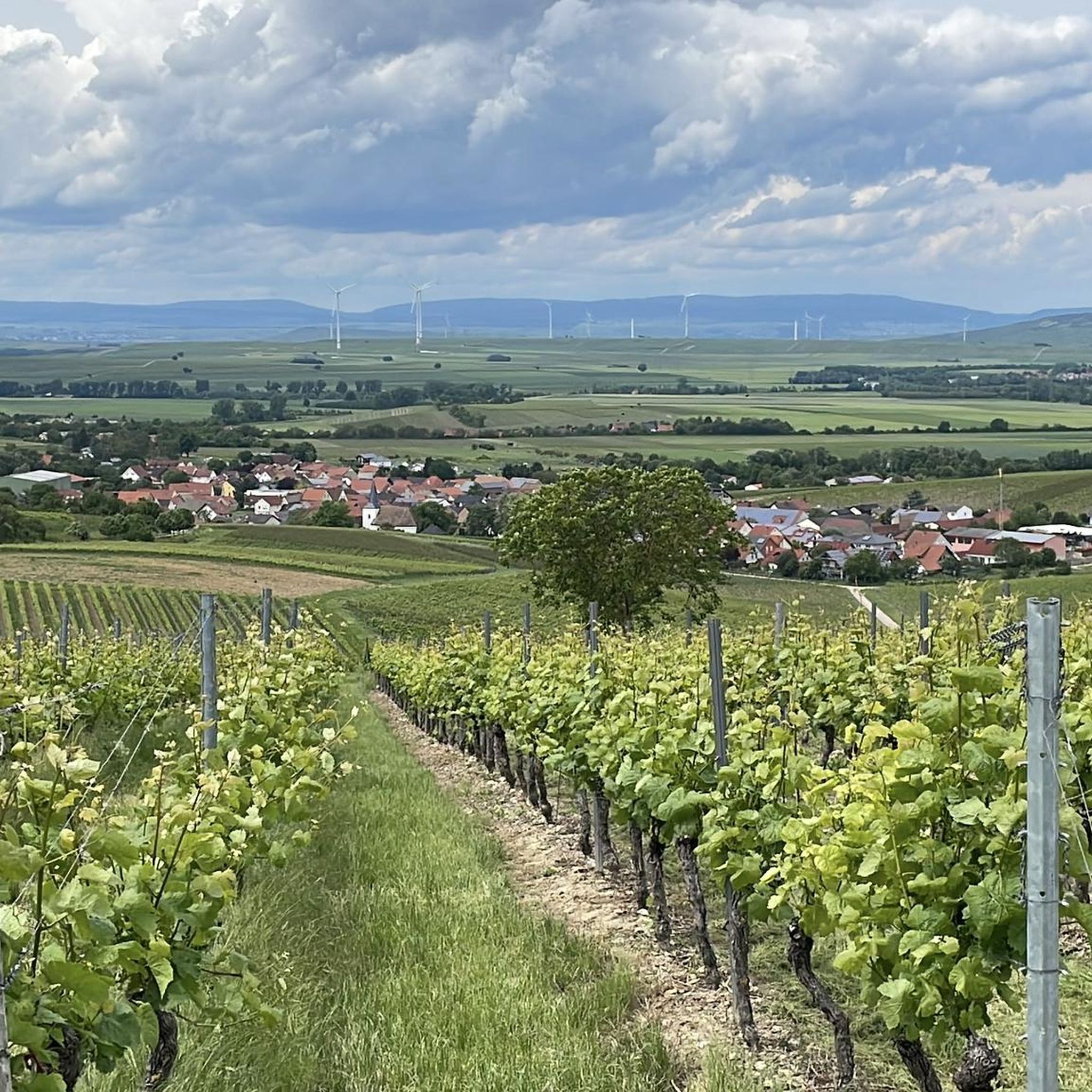
Jogging in Gaugrehweiler offers a rich variety of landscapes. You can expect to run through dense woodlands of the Palatinate Forest, past picturesque vineyards, and across vast green meadows. Many routes also follow scenic riverside paths along the Appelbach stream and the Glan River, providing a tranquil environment. The region's rolling hills and the prominent Donnersberg mountain add to the diverse terrain.
Are there any circular running routes in Gaugrehweiler?
Yes, many of the running routes in Gaugrehweiler are designed as circular loops, allowing you to start and finish at the same point. This is convenient for exploring the area without needing to retrace your steps. Popular circular options include the Running loop from Gerbach and the View of Ruppertsecken loop from Gerbach, both offering beautiful scenery.
What are some scenic viewpoints or landmarks I can discover on a run?
The Gaugrehweiler region is rich in scenic viewpoints and historical landmarks that can be incorporated into your runs. You might encounter breathtaking vistas from the Adlerbogen Viewpoint or the Hirtenfels Viewpoint. The summit of Donnersberg, known as Königsstuhl, also offers magnificent panoramic views. Historical sites like Rheingrafenstein Castle Ruins can also be found along longer routes.
Are the running trails around Gaugrehweiler suitable for families?
Many of the trails around Gaugrehweiler are suitable for families, especially the easier, flatter paths through vineyards or along riverbanks. These routes provide a safe and enjoyable environment for all ages. When planning a family run, look for routes with minimal elevation gain and well-maintained surfaces.
Can I bring my dog on the jogging trails in Gaugrehweiler?
Generally, dogs are welcome on the jogging trails in Gaugrehweiler. The extensive network of paths through woodlands, meadows, and along rivers provides ample space for you and your canine companion to enjoy. However, it's always advisable to keep your dog on a leash, especially in nature reserves or areas with livestock, and to respect local regulations.
What do other runners say about the trails in Gaugrehweiler?
The running routes in Gaugrehweiler are highly rated by the komoot community, with an average score of 4.5 stars from over 90 reviews. More than 1,600 runners have used komoot to explore the area. Reviewers often praise the diverse terrain, the tranquility of the woodlands, and the scenic beauty of the vineyards and riverside paths.
Are there running routes that follow rivers or streams?
Yes, Gaugrehweiler offers beautiful running routes that follow the course of local waterways. The Appelbach stream and the Glan River both provide scenic paths, often relatively flat, making them ideal for a relaxed run amidst unspoiled nature. These routes can lead past old mills and castle ruins, adding historical interest to your jog.
What is the best time of year for running in Gaugrehweiler?
Gaugrehweiler is suitable for running year-round, but each season offers a unique experience. Spring brings blooming vineyards and fresh greenery, while autumn transforms the woodlands into a vibrant display of colors. Summer is pleasant, especially on shaded forest trails or along rivers. Even in winter, many paths are accessible, offering crisp air and serene, frosty landscapes.
Are there any long-distance running options in the Gaugrehweiler region?
For those looking to cover longer distances, Gaugrehweiler and its surroundings offer extended routes that can be combined or are already quite long. The region's extensive trail network, including paths that connect to the Palatinate Forest and the Donnersberg, provides opportunities for runs exceeding 10 miles (16 km), such as the Stolzenberg loop from Mannweiler-Cölln, which is 7.7 miles (12.3 km) long.
Most popular attractions around Gaugrehweiler

Get inspired with the komoot mobile app


Explore more
Browse the best Running Trails & Routes in other regions.
