The best road cycling routes around Saint-Pierre-La-Bruyère
4.2
(35)
1,042
riders
248
rides
Road cycling routes around Saint-Pierre-La-Bruyère are set within the Perche Natural Regional Park, characterized by its undulating countryside and varied landscapes. The region features rolling hills, dense forests, and serene river valleys, providing a diverse terrain for cyclists. Surfaces are generally well-paved, making the area suitable for road bikes.
Best road cycling routes around Saint-Pierre-La-Bruyère
- The most popular road cycling route is Saint Eliph Church – Notre-Dame Church loop from Nogent-le-Rotrou, a 34.6 miles (55.7 km) trail that takes…
Last updated: July 4, 2026
3.7
(3)
19
riders
55.7km
02:22
420m
420m
Moderate road ride. Good fitness required. Mostly well-paved surfaces and easy to ride.
3.0
(1)
16
riders
50.1km
02:13
450m
450m
Moderate road ride. Good fitness required. Mostly well-paved surfaces and easy to ride.

Sign up for free
11
riders
69.0km
02:49
390m
390m
Moderate road ride. Good fitness required. Mostly well-paved surfaces and easy to ride.
5.0
(1)
13
riders
Moderate road ride. Good fitness required. Mostly well-paved surfaces and easy to ride.
5.0
(1)
16
riders
39.3km
01:33
150m
150m
Easy road ride. Great for any fitness level. Mostly well-paved surfaces and easy to ride.
Get access to more routes and recommendations from other explorers.
Sign up for free
Already have an account?
Our route recommendations are based on thousands of hikes, rides, and runs completed by other people on komoot.
Start today with a free account
Your next adventure awaits.
Login or Signup



Tips from the Community

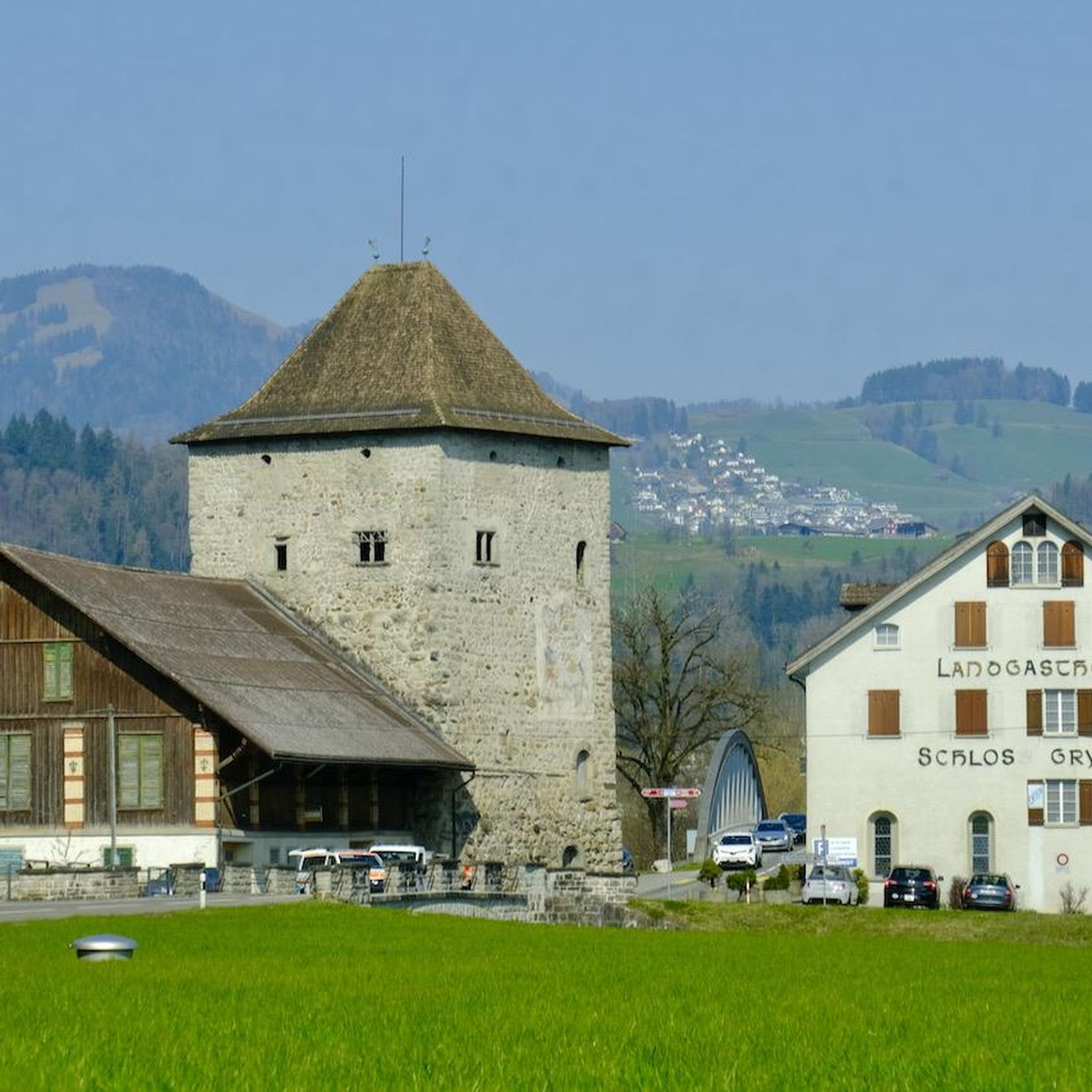
Detailed information is available on Wikipedia: https://fr.wikipedia.org/wiki/Porte_Saint-Julien_(La_Fert%C3%A9-Bernard)
0
0

Religious building dating back to the 11th century and expanded during the Renaissance. The first parish church of Nogent-le-Rotrou dates back to the 11th century, and its expansion dates from the 15th and 16th centuries. Beautiful bell tower topped with a lantern surrounded by an ornate gallery.
0
0
From the 11th century, only the lower part of the bell tower remains. The church was rebuilt in the 14th century in the Gothic style. Since then, the church has undergone only partial alterations and restorations. Church with an elongated plan. Nave flanked by two side aisles. Polygonal chevet flanked by a small building. Bell tower flanking the left side aisle with a double gable roof topped by an octagonal spire. Pointed arch portal with voussoirs, surmounted by a polylobed rose window. Pointed arch bays. Buttresses flanking the building.
0
0
The inhabitants of Margon can admire the church of Notre-Dame du Mont-Carmel, proudly dominating the old town on its rocky spur, at the corner of two green valleys. It was later given an aisle during the 16th century, but its Romanesque portal has been preserved. It reigns benevolently over the old cemetery which surrounds it and which has recently been enlarged due to the increase in the population of the commune.
0
0
The church has a Latin cross plan. It has a single nave and a flat chevet. A small building is attached to the chevet. A bell tower flanks the building. Buttresses support the drip walls and the gable wall. Pointed arch bays with tracery illuminate the building. The portal, in a low arch, has its external arched voussure.
0
0
Parish church, as well as its polychrome stone choir enclosure, with the exception of the bell tower and the sacristy built in the 19th century. The church consists of a main nave whose choir ends with a semi-circular apse from the Romanesque period. The large mullioned windows were installed in the 15th century. The south aisle dates from the 16th century. In the second half of the 19th century, the church underwent major modifications: construction of the sacristy in 1860, brick vault in 1870, stone bell tower according to the designs of the architect Prempain around 1879.
0
0
Formerly La Loupe, Vaupillon and Saint Eliph formed only one parish called the Trinity of the Woods. The church contains a set of 3 painted stone altarpieces from the 17th century. One is dated 1646 and signed Delahays: it includes 3 sculptures: a trunk of grace, representation of the trinity in which God the father holds before him his son on the cross, the dove of the Holy Spirit hovering above his head You can also see a statue of the local saint in painted and gilded stucco and a Saint Sebastian in painted stucco, characteristic of the counter-reformation. A small chapel to the north was added in the 19th century which contains a pieta.
0
0

You absolutely must do this small climb to be able to enjoy a magnificent panorama!
0
0
Frequently Asked Questions
How many road cycling routes are available around Saint-Pierre-La-Bruyère?
There are over 240 road cycling routes around Saint-Pierre-La-Bruyère, offering a wide range of options for different skill levels and preferences. You'll find routes ranging from easy to difficult, with the majority being moderate.
What kind of terrain can I expect on road cycling routes in this region?
The region, nestled within the Perche Regional Natural Park, is characterized by its 'hilly countryside' (campagne vallonnée). You can expect undulating terrain with climbs and descents, offering dynamic cycling. Routes often pass through dense forests, typical Percheron bocage, and provide beautiful views of the Huisne valley. Surfaces are generally well-paved, making them ideal for road bikes.
Are there routes suitable for beginners or families?
Yes, while the area features rolling hills, there are 41 easy routes available. Additionally, an old railway line has been converted into a charming cycle path ('piste cyclable'), offering a pleasant and accessible route through the countryside that could be suitable for families or those seeking a less strenuous ride. For a moderate option, consider the Saint Eliph Church – Notre-Dame Church loop from Nogent-le-Rotrou.
What are some longer or more challenging road cycling routes?
For those seeking a challenge, there are 17 difficult routes. A notable longer and more challenging option is the Stage 1 of the Véloscénie – Château de Montmirail loop from Nogent-le-Rotrou, which covers nearly 100 km and features significant elevation gain, making it a demanding ride.
Are there any circular road cycling routes?
Yes, many of the routes around Saint-Pierre-La-Bruyère are designed as loops, allowing you to start and finish in the same location. Examples include the popular Saint Eliph Church – Notre-Dame Church loop from Nogent-le-Rotrou and the Porte Saint Julien – Stage 1 of the Véloscénie loop from Nogent-le-Rotrou.
What attractions or landmarks can I see along the road cycling routes?
Cycling routes often provide glimpses of local heritage and natural beauty. You might pass by historical sites such as the Nogent-le-Rotrou Castle or the Notre-Dame Church in Nogent-le-Rotrou. The region is also known for its picturesque villages, manors, and chapels. The 'Tour des Collines du Perche' circuit, which passes through the area, highlights the characteristic landscapes including forests and river valleys.
Is there parking available for road cyclists?
While specific parking areas for cyclists are not detailed in the route information, starting points for many routes, such as Nogent-le-Rotrou, are towns with general parking facilities. It's advisable to check local parking options in the starting village of your chosen route.
What is the best time of year for road cycling in Saint-Pierre-La-Bruyère?
The Perche region is beautiful throughout the warmer months. Summer offers the chance to see 'flowering heather' (bruyères fleuries) along routes like 'Les Bruyères de Saint-Pierre'. Spring and autumn provide pleasant temperatures and vibrant scenery, with forests offering shaded routes. Winters can be cold, so check local weather conditions if planning a ride during this season.
Are there any dedicated cycle paths or greenways in the area?
Yes, an old railway line has been transformed into a charming cycle path ('piste cyclable'), offering a smooth and scenic ride. Additionally, sections of the renowned Véloscénie route, which connects Paris to Mont Saint-Michel, pass through the area, providing well-maintained paths for cyclists.
What do other cyclists say about road cycling in Saint-Pierre-La-Bruyère?
The road cycling routes around Saint-Pierre-La-Bruyère are highly rated by the komoot community, with an average score of 4.0 stars from over 20 reviews. Cyclists often praise the varied terrain, the picturesque Perche countryside, and the engaging experience offered by the rolling hills and scenic views.
How long are the typical road cycling routes?
The routes vary significantly in length. Many popular routes are moderate and range from 50 km to 70 km, such as the Saint Eliph Church – Notre-Dame Church loop (55.7 km) or the Saint Martin Church – Notre-Dame Church loop (69.0 km). There are also shorter, easier options and longer, more challenging routes extending up to nearly 100 km.
Most popular routes around Saint-Pierre-La-Bruyère
Most popular attractions around Saint-Pierre-La-Bruyère

Get inspired with the komoot mobile app


Explore more
Browse the best Road cycling routes in other regions.
