The best mountain hikes around Brohl
4.5
(6)
21
hikers
4
hikes
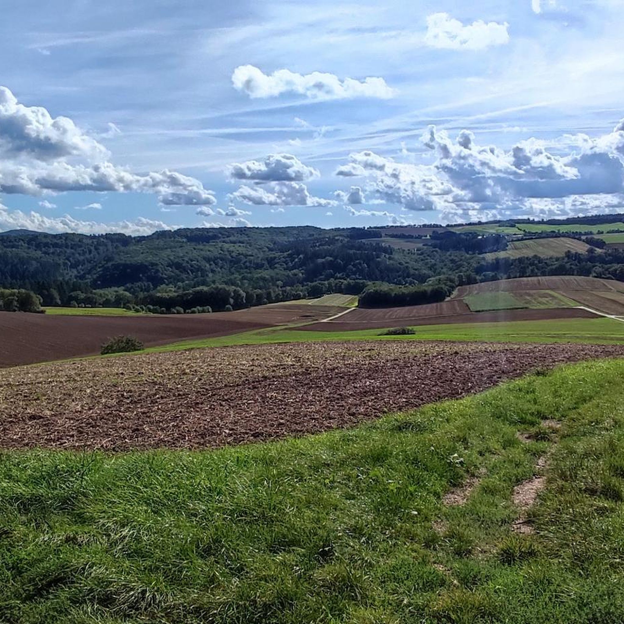
Mountaineering routes around Brohl are situated within the Volcanic Eifel region, characterized by its unique geological formations and picturesque valleys. The area features the idyllic Elzbach Valley and the heights of the Maifeld, offering natural silence and unspoiled paths. The landscape includes dense forests and varied terrain, providing a scenic backdrop for outdoor pursuits.
Best mountaineering routes around Brohl
- The most popular mountaineering route is Eltz Castle – Forest Path to Eltz Castle loop from Moselkern, a 7.7 miles…
Last updated: September 29, 2026
5.0
(2)
9
hikers
Moderate mountaineering route. Good fitness required. Mostly accessible paths. Sure-footedness required.
5.0
(2)
9
hikers
12.2km
03:40
330m
330m
Moderate mountaineering route. Good fitness required. Mostly accessible paths. Sure-footedness required.

3.0
(1)
2
hikers
14.0km
04:37
540m
540m
Moderate mountaineering route. Good fitness required. Mostly accessible paths. Sure-footedness required.
5.0
(1)
1
hikers
12.6km
03:41
330m
330m
Moderate mountaineering route. Good fitness required. Easily-accessible paths. Suitable for all skill levels.
Our route recommendations are based on thousands of hikes, rides, and runs completed by other people on komoot.
Start today with a free account
Your next adventure awaits.
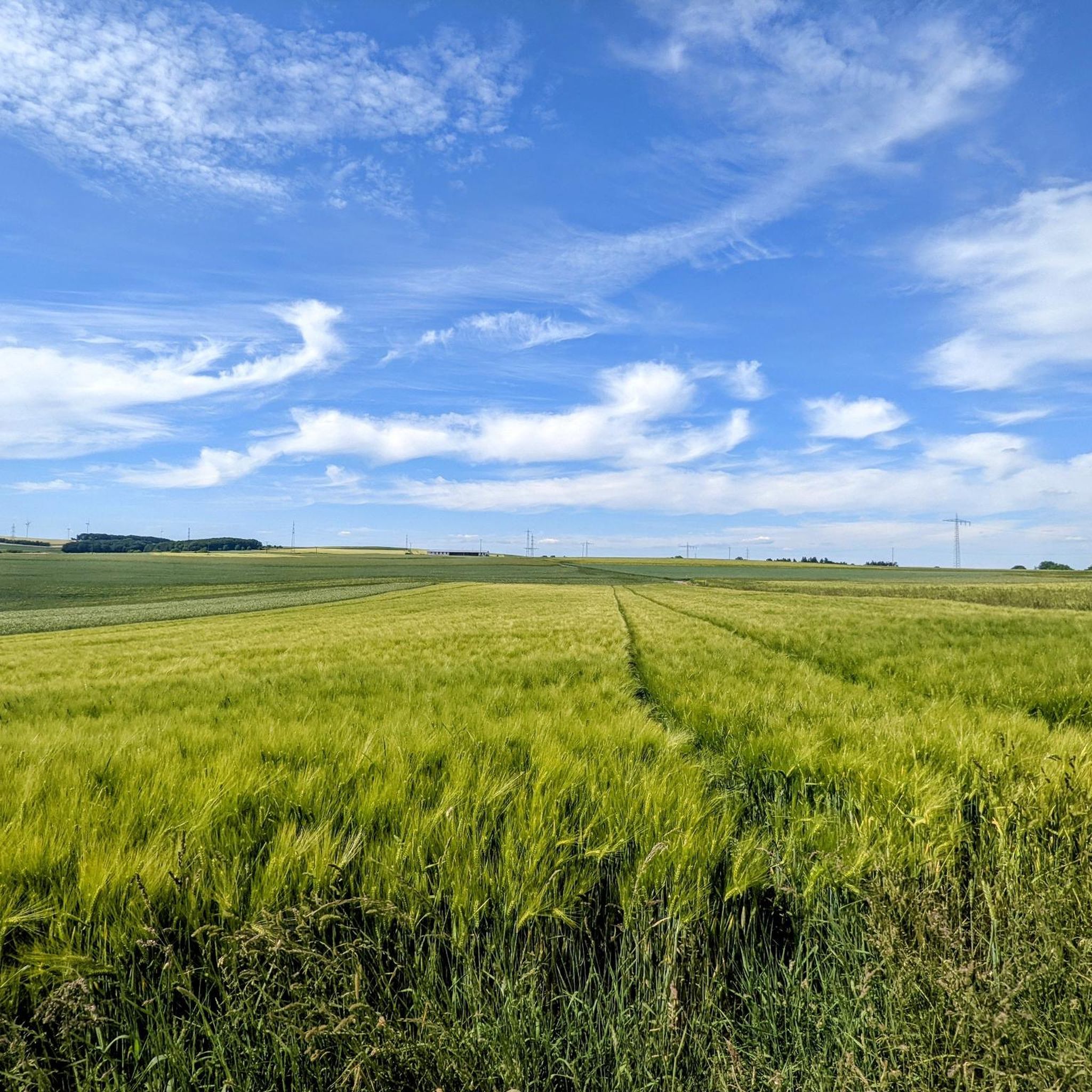
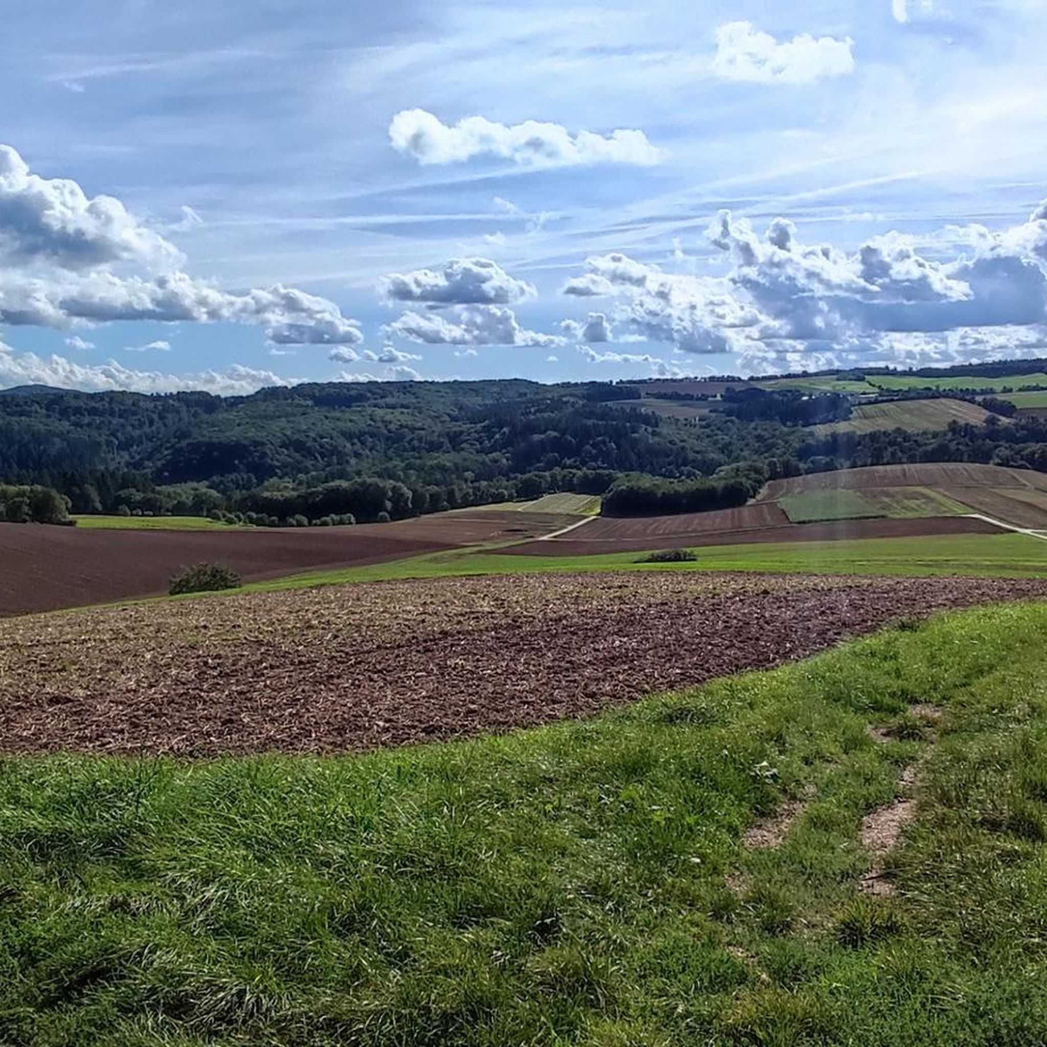
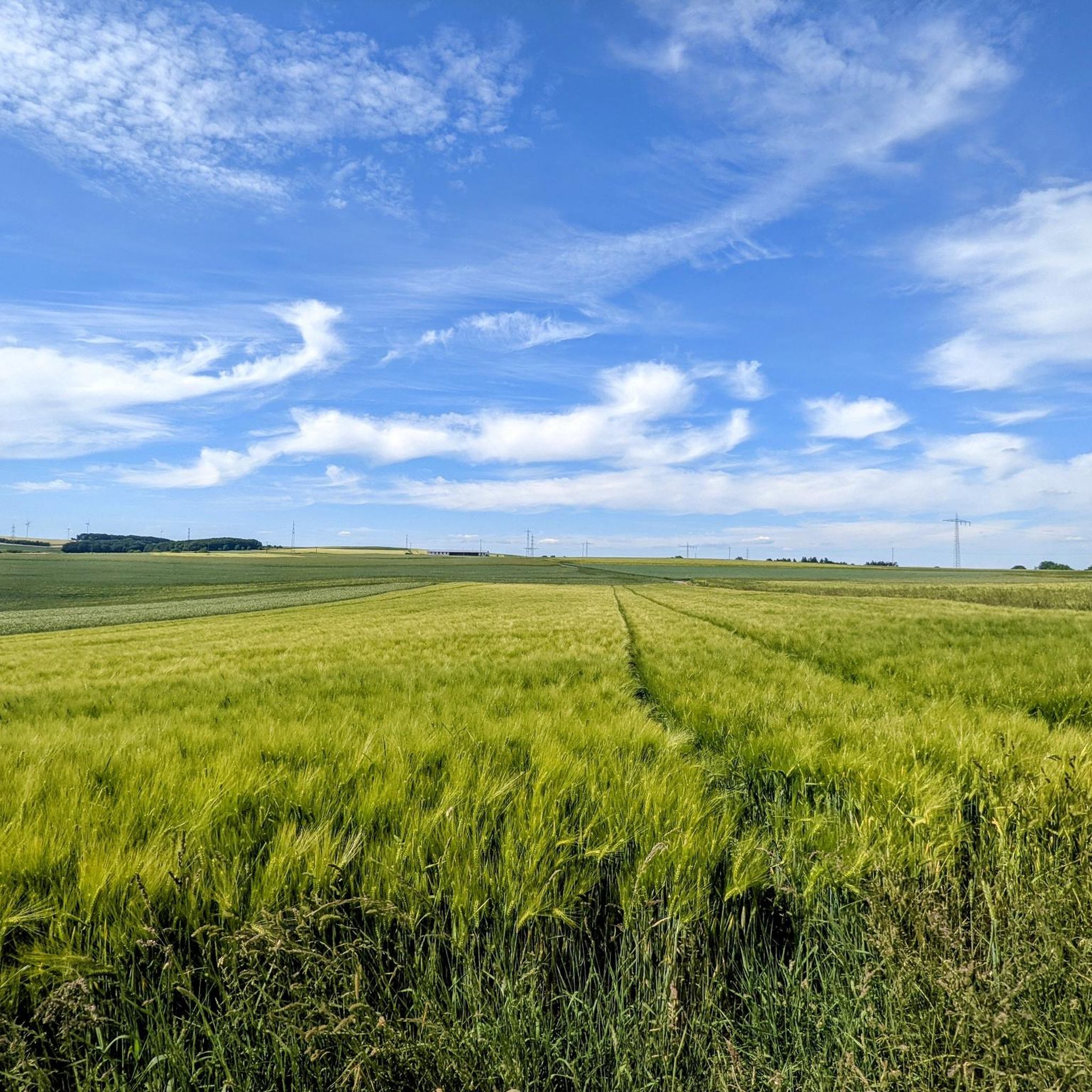
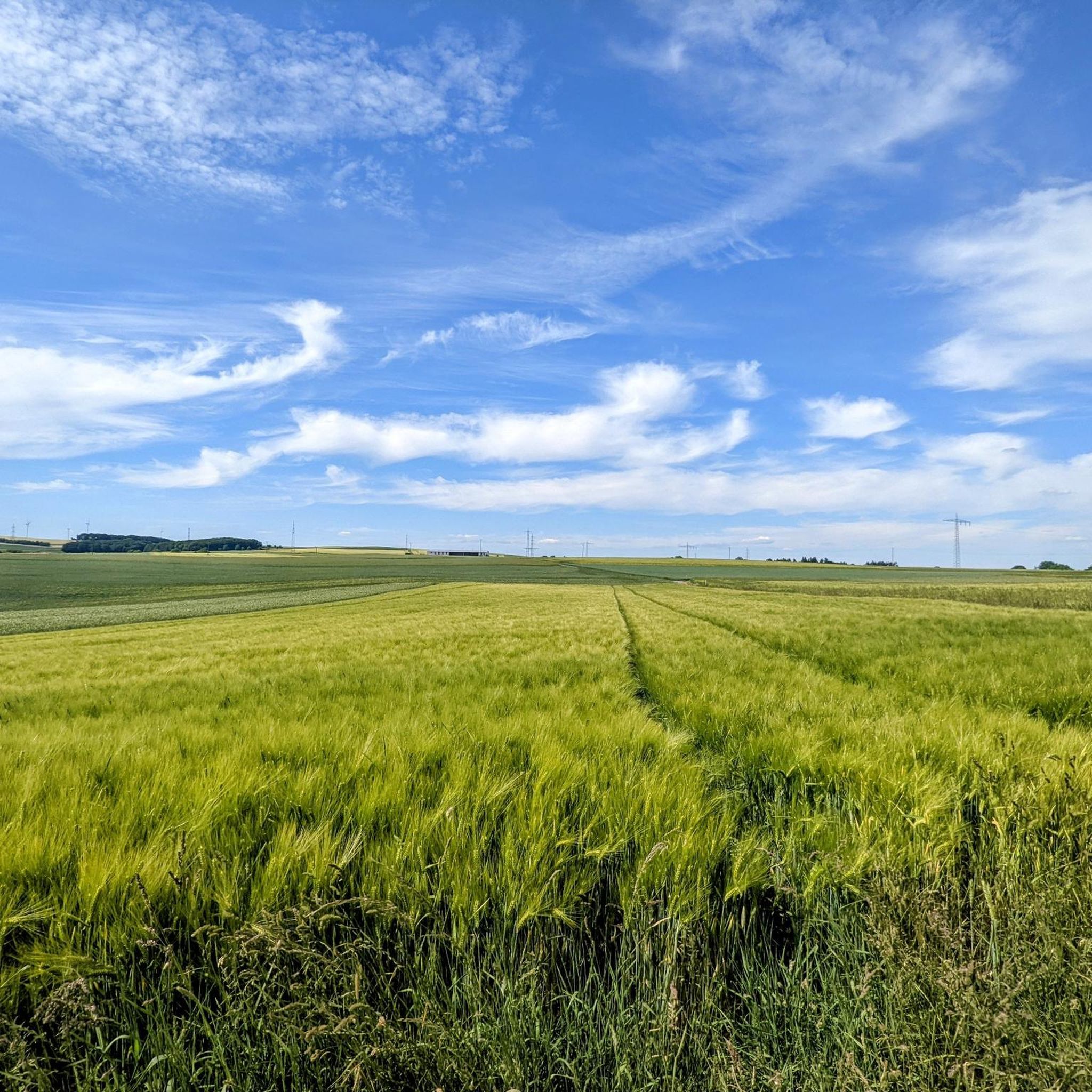
Tips from the Community


Very nicely preserved ensemble of monastery buildings
2
0


Fine, natural paths and yet you are rarely alone here
10
0


The climb here is tough.
2
0

The Romanesque, former collegiate church of St. Castor in Karden is dedicated to Saint Castor of Karden and is thus one of the most important churches on the Moselle. Castor of Karden was a pupil of Bishop Maximin of Trier, who came from Aquitaine (former province in southwestern France), who ordained him priest.
4
0
Frequently Asked Questions
What kind of terrain can I expect on mountaineering routes around Brohl?
The mountaineering routes in Brohl are primarily situated within the Volcanic Eifel region, offering a diverse landscape. You can expect paths through dense forests, picturesque valleys like the Elzbach Valley, and varied terrain that provides a scenic backdrop for your outdoor pursuits. The region is known for its unique geological formations.
Are there any circular mountaineering routes in the Brohl area?
Yes, many of the routes around Brohl are designed as loops, allowing you to start and end in the same location. For example, the Eltz Castle – Forest Path to Eltz Castle loop from Moselkern is a popular circular trail that takes you through forest paths to the historic Eltz Castle.
What are some notable landmarks or attractions I can see while mountaineering in Brohl?
The region around Brohl is rich in natural beauty and historical sites. A prominent landmark is the historic Eltz Castle, which can be viewed from several routes, including the View of Eltz Castle – Eltz Castle loop from Wierschem. You might also encounter the Vineyard Shelter or the Wierschem Grill Hut and Fire Pit along your way.
Are there any routes that feature waterfalls or unique natural water features?
Yes, the Brohl area offers routes where you can experience beautiful water features. The Stone Bridge over the Elzbach – View of Eltz Castle loop from Treis-Karden leads through the scenic Elzbach Valley. You can also find the Elzbach Waterfall at the Pyrmonter Mill and explore the Dortebachtal Nature Reserve, known for its idyllic valley and stream.
What is the typical difficulty level for mountaineering routes in Brohl?
The mountaineering routes around Brohl are generally considered moderate in difficulty. They offer a good balance for those seeking an active outdoor experience without extreme challenges, focusing on scenic valley and forest paths. All four listed routes are rated as moderate.
What do other mountaineers enjoy most about the routes in Brohl?
The routes in Brohl are highly rated by the komoot community, with an average score of 4.5 stars from several reviews. Mountaineers often praise the natural silence, unspoiled paths, and the picturesque views, especially those encompassing Eltz Castle and the surrounding valleys.
Are there any winter mountaineering opportunities in Brohl?
While traditional mountaineering is not the primary focus, the region does offer winter activities. In the colder months, the snow-covered forests around Brohl provide opportunities for ski touring, offering a different kind of outdoor adventure for those visiting during winter.
How long do the mountaineering routes typically take to complete?
The mountaineering routes in Brohl vary in length and duration. For instance, the Moselsteig Trail at the Elzbach – Eltz Castle loop from Moselkern is approximately 7.8 miles (12.6 km) and typically takes around 3 hours 40 minutes to complete. Other routes are similar in duration, generally ranging from 3.5 to 4.5 hours.
Are there places to eat or drink near the mountaineering trails in Brohl?
Yes, the region offers options for refreshments. You might find various huts and shelters, such as the Hauer Hut or the Forsthaus Rotherhof, which can serve as good spots for a break or a meal during or after your tour.
What are the elevation gains like on Brohl's mountaineering routes?
The mountaineering routes around Brohl feature moderate elevation changes. For example, routes like the Eltz Castle loops typically involve an ascent of around 320-325 meters (1050-1066 feet). The Stone Bridge over the Elzbach – View of Eltz Castle loop from Treis-Karden has a slightly higher gain of about 536 meters (1758 feet).
Is the Brohl region suitable for family-friendly outdoor activities?
While the listed mountaineering routes are moderate, the broader Brohl region, particularly the Eltz Valley, offers easier circular routes that combine historical sightseeing with nature exploration, making it suitable for families. The varied landscapes and picturesque nature provide a pleasant environment for outdoor activities with children.
Most popular attractions around Brohl

Get inspired with the komoot mobile app


Explore more
Browse the best Mountain Hikes & Routes in other regions.
