The best running trails around Oberhosenbach
4.3
(77)
1,052
runners
108
runs
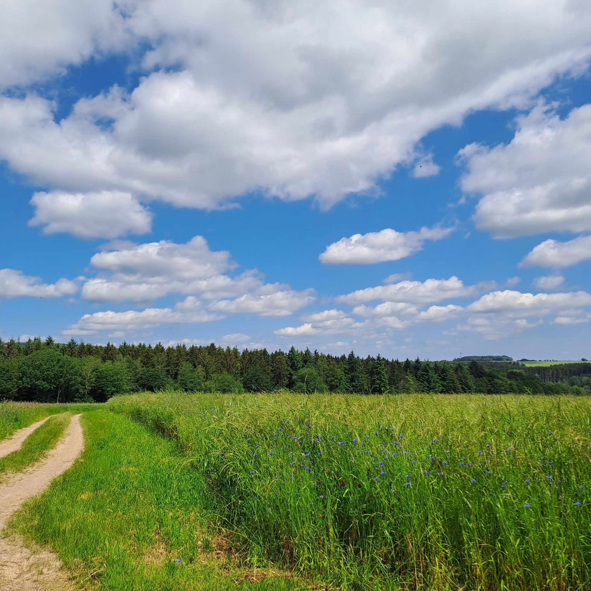
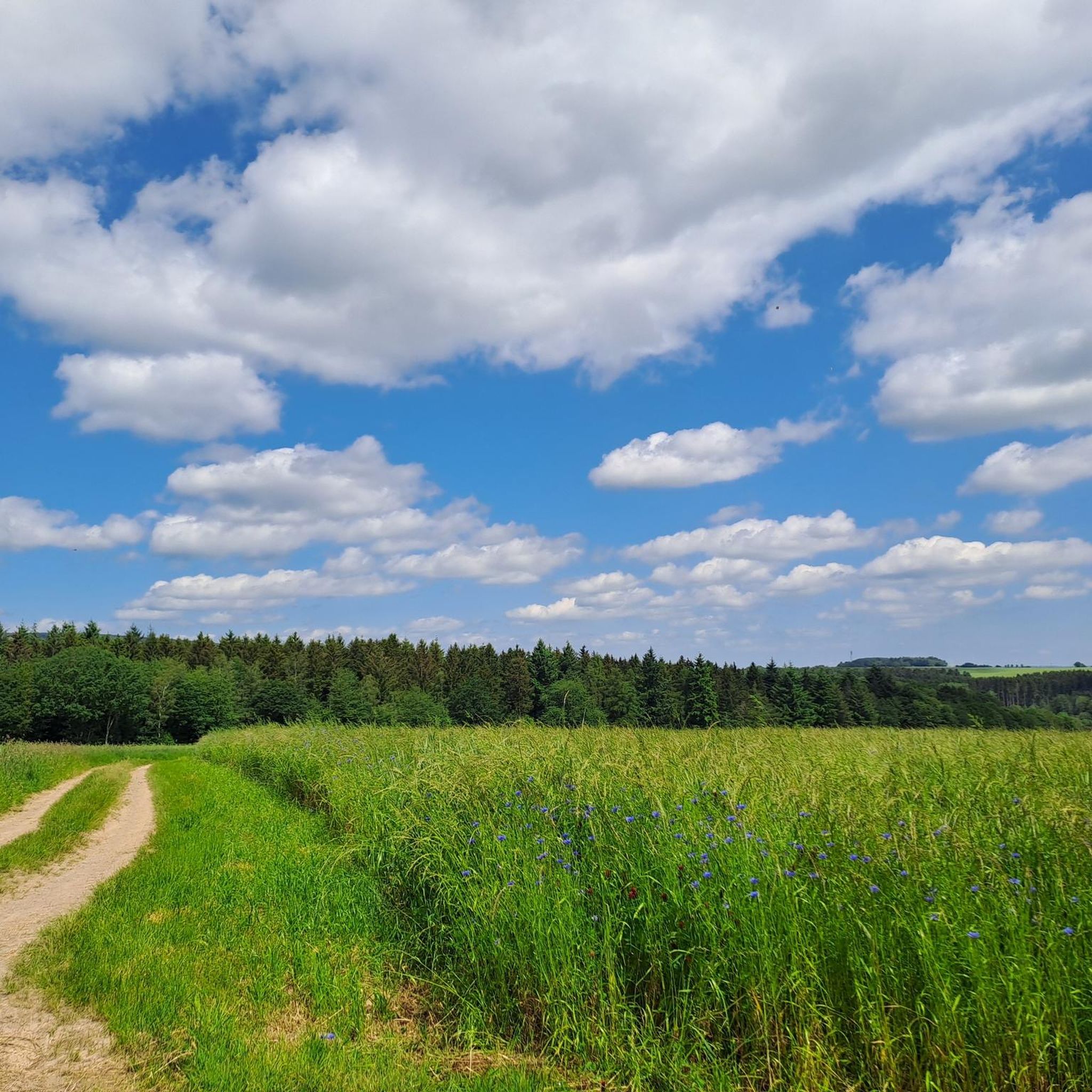
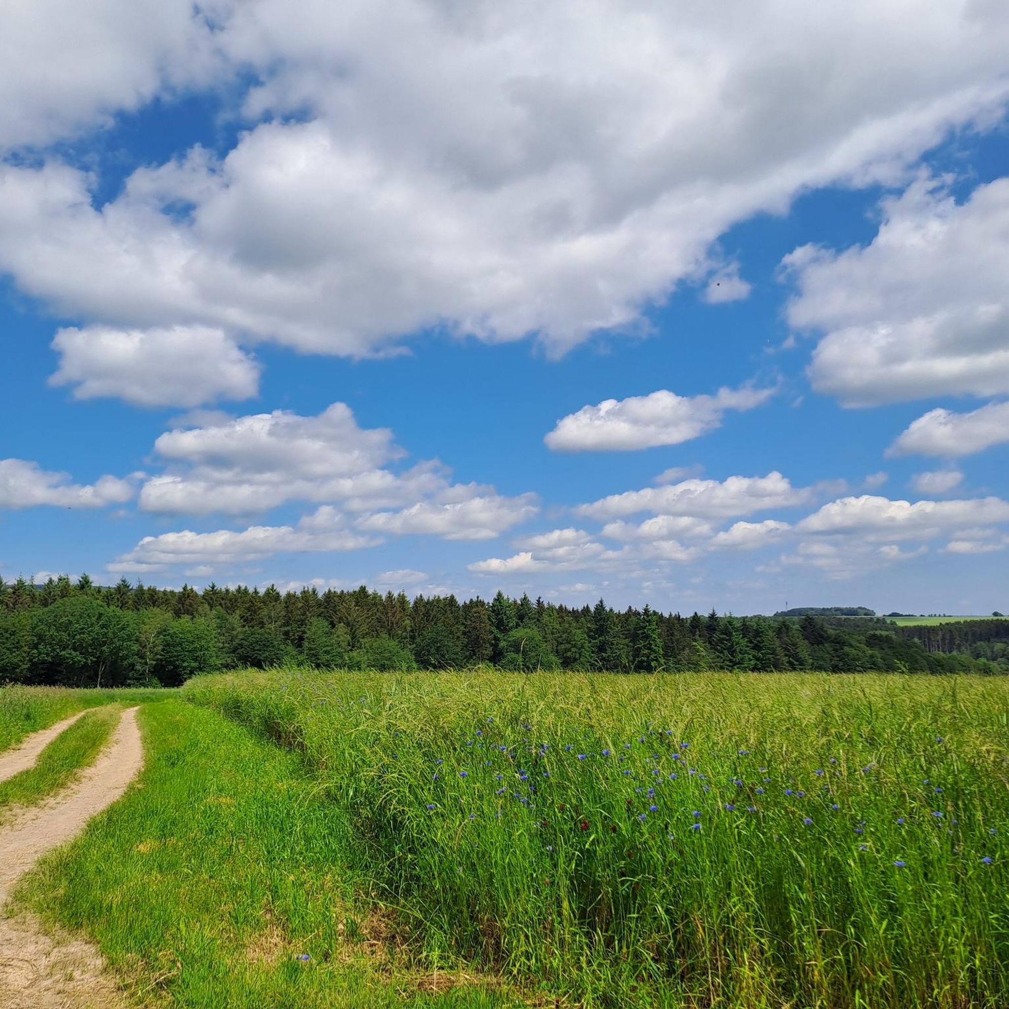
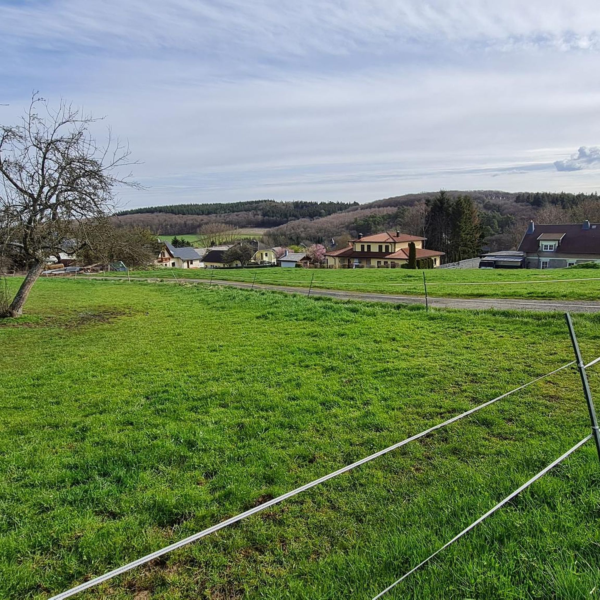
Jogging routes around Oberhosenbach traverse the varied topography of the Saar-Hunsrück Nature Park in southwest Germany. The region is characterized by rolling hills, dense forests, and idyllic valleys, providing a diverse backdrop for running. Runners can explore paths along the "Hochwald" stream, around the "Black Lake," and through the Hunsrück low mountain range, which features significant elevations for a good workout.
Best jogging routes around Oberhosenbach
- The most popular jogging route is View from the Mörschieder Burr – Wildenburg Observation…
Last updated: May 14, 2026
76
runners
Hard run. Very good fitness required. Mostly accessible paths. Some sure footedness required.
4.0
(4)
15
runners
Moderate run. Good fitness required. Mostly paved surfaces. Suitable for all skill levels.

Sign up for free
3.0
(1)
11
runners
4.50km
00:29
60m
60m
Easy run. Great for any fitness level. Mostly paved surfaces. Suitable for all skill levels.
5.0
(1)
13
runners
5.52km
00:35
70m
70m
Moderate run. Good fitness required. Mostly paved surfaces. Suitable for all skill levels.
8
runners
13.3km
01:32
210m
210m
Moderate run. Good fitness required. Mostly accessible paths. Some sure footedness required.
Get access to more routes and recommendations from other explorers.
Sign up for free
Already have an account?
Our route recommendations are based on thousands of hikes, rides, and runs completed by other people on komoot.
Start today with a free account
Your next adventure awaits.
Login or Signup
Tips from the Community

This legendary place lies between gnarled trees and jagged rocks – with a simple wooden sign, yet a mystical aura. The name "Witches' Dance Ground" lends the scene a very unique atmosphere, which is particularly intense in the frosty winter. A quiet, slightly eerie place with a sense of historical magic. 💡 Tip 🔮 Stand for a moment in the middle of the square – history can almost be felt in the quiet snow.
1
1
This weathered stone structure acts like a silent sentinel over the snow-covered Hunsrück Forest. Presumably once part of an ancient defensive or viewing position, it now stands solitary and open on the edge of the Burr Plateau – surrounded by ice, rocks, and gnarled branches. An atmospheric place steeped in history and offering a panoramic view. 💡 Tip 🧭 Approach carefully – on a clear day, the view through the walls opens up deep into the Nahe Valley.
1
1
Just before reaching the viewing rock or as a final hike through the recreational area, this modernly renovated shelter offers both shelter from the wind and tranquility. The combination of natural stone, wood, and an information board makes it a welcome stopover in the snow-covered Hunsrück Forest. 💡 Tip 🌨️ Don't just use the hut for a rest – a glance at the information board inside provides guidance for the next highlights, such as the Pulpit Rock or the Burrkante.
0
1
The tower was unfortunately closed during our visit, but it's still a striking landmark on the tour. Even from below, it looks impressive and fits perfectly into the landscape. 💡 Tip: It's worth a quick stop even without climbing it—the area around it is a great place to linger.
0
1

The predecessor of the Wildenburg was a presumably Celtic refuge castle with a double rampart from the La Tène period (ca. 450–50 BC). The Wildenburg Wall is one of a series of Celtic ramparts in the southern Hunsrück between the ring wall of Otzenhausen, the Ringkopf, the Altburg and the Alteburg in the Soonwald. A short section of the wall was reconstructed as a "Gallic wall" (murus gallicus). Around the year 350 AD, a late Roman fortification was set up on the Wildenburg for a short time. In the late Middle Ages, Wildgraf Friedrich von Kyrburg built the Wildenburg on the rock at the western tip of the ring wall (first mentioned in 1330) and in 1651 it was plundered and destroyed by marauding Lorraine troops. After partial reconstruction in 1660, the lower castle served as the administrative headquarters of the Wildenburg office until the county was abolished in 1792. Only a few remains of the walls of the upper castle, which is located on a rock, have survived. A 22-meter-high observation tower was built on the top of the rock in 1980 and completed in 1981. It offers a very good view in all directions from its 15-meter-high observation platform, which is arranged in a ring around the tower body. Orientation boards on the parapet explain the destinations. From 1859, the buildings of the lower castle with gate tower, farm buildings and surrounding wall had already been restored to set up the Prussian district forestry office. After further renovations, these buildings now house a castle restaurant and are the headquarters of the Hunsrück Association. The Knights' Hall is used as a registry office and for smaller festivities.
1
0

Sturdy shoes and surefootedness required. Not suitable for strollers.
0
0

Not that old. Was built in the 80s as a job creation measure. Well worth it - the view is really great!
0
0

Barbecue area and sheltered benches. Ideal for resting.
0
0
Frequently Asked Questions
How many running routes are available around Oberhosenbach?
There are over 110 running routes available around Oberhosenbach, offering a wide variety of options for all fitness levels. The komoot community has explored these trails over 1000 times, highlighting the region's popularity for outdoor activities.
Are there easy running routes for beginners in Oberhosenbach?
Yes, Oberhosenbach offers several easy running routes suitable for beginners or those looking for a relaxed jog. For instance, the Running loop from Herrstein-Rhaunen is an easy 4.5 km trail with minimal elevation gain, perfect for a gentle introduction to the area's beautiful landscapes.
What kind of terrain can I expect on the jogging trails in Oberhosenbach?
The jogging trails in Oberhosenbach traverse the varied topography of the Saar-Hunsrück Nature Park. You can expect a mix of rolling hills, dense forests, and idyllic valleys. Many paths wind along picturesque streams like the "Hochwald" stream or around the mystical "Black Lake," offering diverse and scenic running experiences.
Are there any challenging running trails for experienced runners?
Absolutely. For experienced runners seeking a challenge, Oberhosenbach provides routes with significant elevation changes. The View from the Mörschieder Burr – Wildenburg Observation Tower loop from Herrstein-Rhaunen is a difficult 23.4 km trail with over 570 meters of elevation gain, offering a strenuous workout and expansive views.
Can I find circular running routes in the Oberhosenbach area?
Yes, many of the running routes around Oberhosenbach are circular, allowing you to start and finish at the same point. An example is the Wildenburg Observation Tower – View from the Mörschieder Burr loop from Herrstein-Rhaunen, a 10.1 km moderate loop through dense forests.
Are the jogging routes in Oberhosenbach dog-friendly?
While specific rules for dogs on trails can vary, the natural setting of Oberhosenbach within the Saar-Hunsrück Nature Park generally welcomes dogs, especially on the extensive network of hiking and jogging trails. It's always advisable to keep dogs on a leash, especially in forested areas, and to respect local signage and wildlife.
What are some scenic points or attractions I can see while jogging?
While jogging, you can encounter several scenic points and natural attractions. The Devil's Rock offers great views, and the Hosenbacher Felsentor provides a breathtaking vista of the surrounding valleys. You might also pass by small waterfalls and the serene "Black Lake" on various routes.
Is there parking available near the running trailheads?
Yes, parking is generally available near the trailheads and in the village centers of Oberhosenbach and surrounding communities like Herrstein-Rhaunen. Many komoot routes start from accessible points where parking is convenient, making it easy to begin your run.
What is the best time of year to go jogging in Oberhosenbach?
The best seasons for jogging in Oberhosenbach are spring and autumn. During these times, the landscape is vibrant with lush greenery or colorful foliage, and the climate is mild and pleasant, making for ideal running conditions. Summer can also be good, especially in the shaded forest areas.
Are there family-friendly running options in Oberhosenbach?
Yes, the region offers routes suitable for families, particularly the easier and shorter trails. These paths often feature gentle inclines and scenic surroundings, perfect for a family outing. Look for routes with lower difficulty ratings and shorter distances for a comfortable family run.
What do other runners say about the trails in Oberhosenbach?
The running routes in Oberhosenbach are highly rated by the komoot community, with an average score of 4.5 stars from over 70 reviews. Runners frequently praise the quiet woodlands, the varied terrain, and the well-maintained paths that offer both tranquil and invigorating outdoor activity.
Are there any places to eat or stay near the jogging routes?
Yes, nearby villages such as Herrstein offer cafes, restaurants, and accommodation options. While Oberhosenbach itself is small, the surrounding area provides amenities for visitors looking to refuel or stay overnight after their runs.
Can I find routes that follow water features like streams or lakes?
Absolutely. The region is known for its idyllic valleys and water features. You can find routes that wind along the picturesque "Hochwald" stream through lush meadows, or explore trails around the mystical "Black Lake," offering refreshing and scenic runs beside water.
Most popular routes around Oberhosenbach
Most popular attractions around Oberhosenbach

Get inspired with the komoot mobile app


Explore more
Browse the best Running Trails & Routes in other regions.
