The best running trails around Kronweiler
4.2
(137)
1,234
runners
128
runs
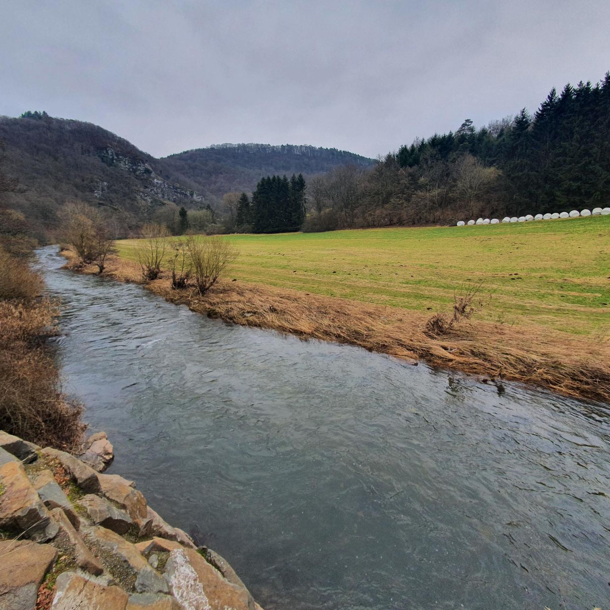
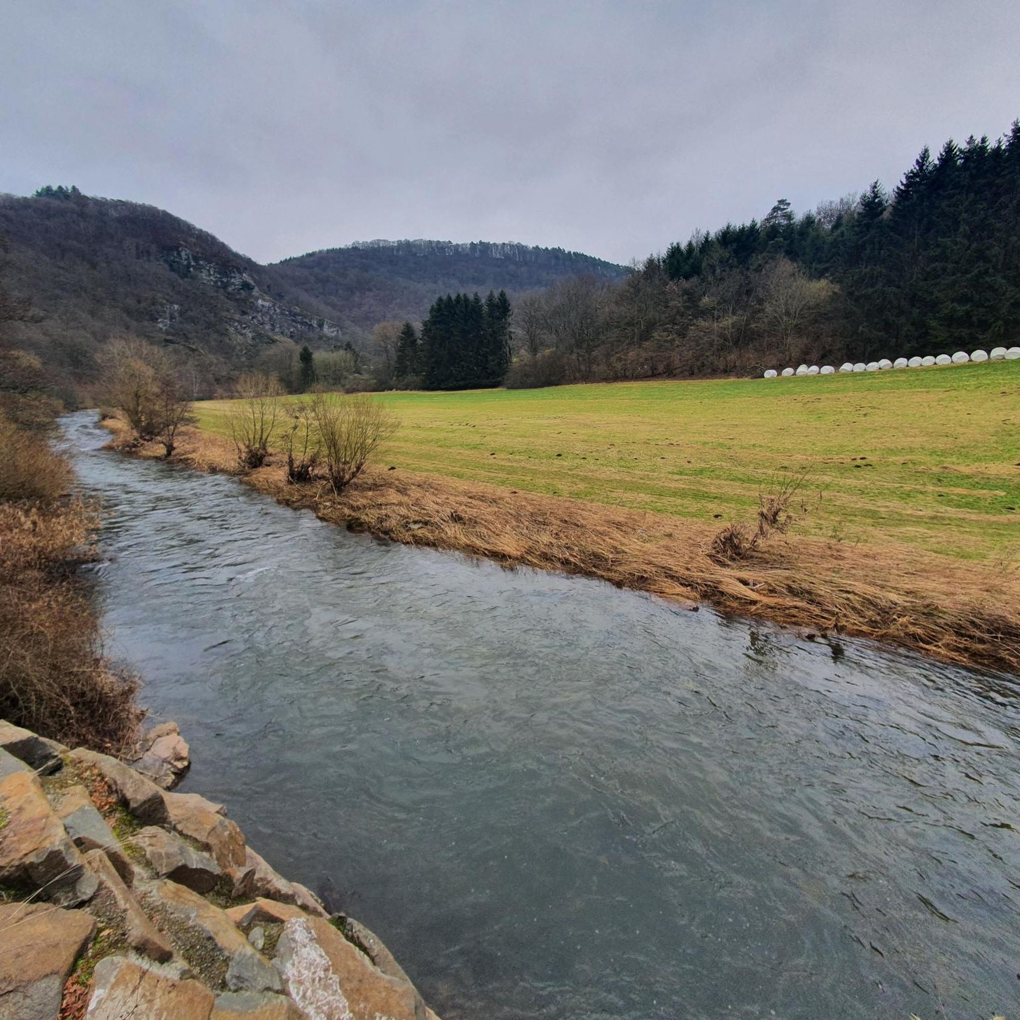
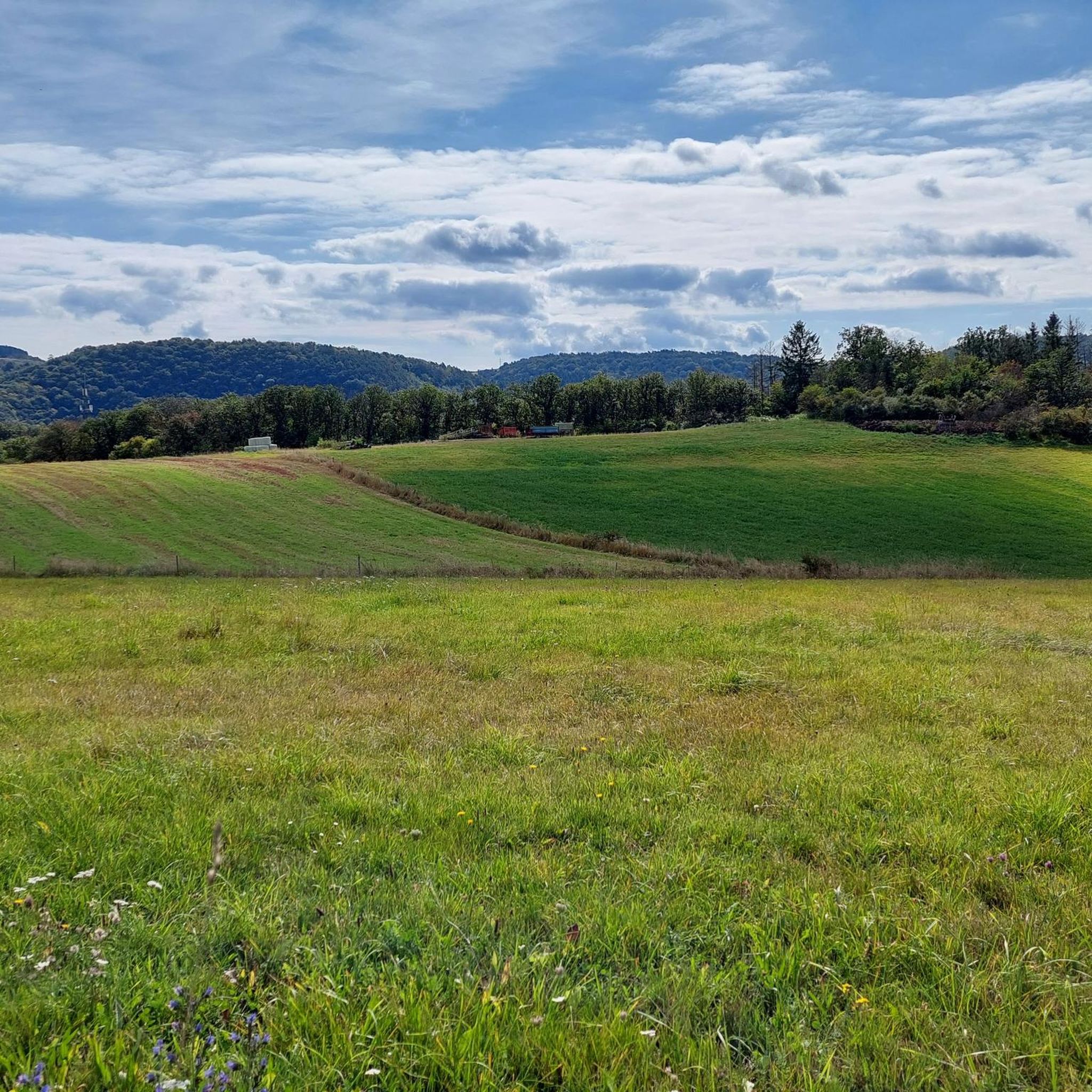
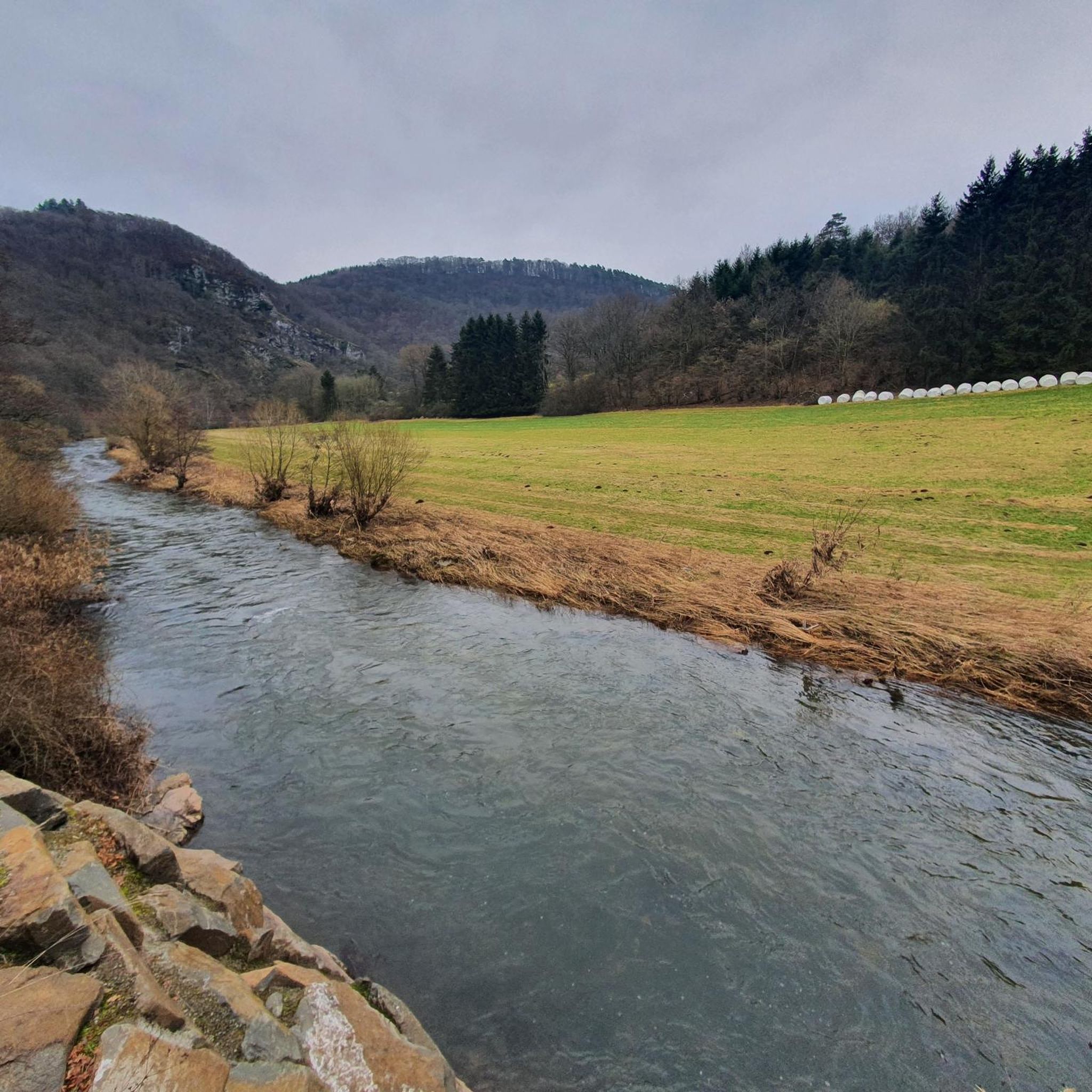
Jogging routes around Kronweiler are set within an idyllic landscape characterized by rolling hills, dense forests, and the meandering Nahe River. The region offers diverse natural features, including the Kammerwoog Reservoir and parts of the Idar Forest, providing varied terrain for runners. This area in Rhineland-Palatinate features a network of trails suitable for different levels of running, from riverside paths to routes with elevation changes. The natural environment provides a refreshing setting for outdoor exercise.
Best jogging routes around Kronweiler
…Last updated: October 27, 2026
4.5
(2)
23
runners
10.9km
01:18
280m
280m
Moderate run. Good fitness required. Mostly paved surfaces.
4.0
(1)
34
runners
11.7km
01:17
80m
80m
Moderate run. Good fitness required. Mostly paved surfaces.

5.0
(1)
17
runners
Moderate run. Good fitness required. Mostly paved surfaces.
4.0
(2)
13
runners
Moderate run. Good fitness required. Mostly paved surfaces.
13
runners
Moderate run. Good fitness required. Mostly paved surfaces.
Get access to more routes and recommendations from other explorers.
Already have an account?
Our route recommendations are based on thousands of hikes, rides, and runs completed by other people on komoot.
Start today with a free account
Your next adventure awaits.
Tips from the Community


It's really worth a visit
0
0
Recommendable, there are also panning fields
0
0
Beautiful section of the Nahe cycle path
0
0
Beautiful landscape and paved paths
0
0
Important connecting bridge over the Nahe
0
0

A dream view of the Nahe. Idyllic and romantic.
0
0
Frequently Asked Questions
How many running routes are available around Kronweiler?
There are over 120 running routes available around Kronweiler, catering to various fitness levels. You'll find a good mix, with 12 easy routes, over 100 moderate options, and 11 more challenging trails.
What kind of terrain can I expect on the running trails near Kronweiler?
The running trails around Kronweiler offer a diverse landscape. You can expect picturesque routes through rolling hills and dense forests, as well as paths that meander along the scenic Nahe River. Some trails, like sections of the Nahesteig, feature varied elevations with descents to the river and climbs to scenic heights, while others offer lush green meadows and expansive views of the Nahe valley.
Are there any easy running routes suitable for beginners in Kronweiler?
Yes, Kronweiler offers several options for beginners or those looking for an easier run. There are 12 routes specifically categorized as easy. While specific beginner routes aren't highlighted here, the region's extensive network includes paths with less elevation, perfect for a gentle jog.
What do other runners say about the trails in Kronweiler?
The running trails in Kronweiler are highly regarded by the komoot community, with an average rating of 4.3 out of 5 stars from over 90 reviews. Nearly 1000 runners have used komoot to explore the varied terrain, often praising the refreshing natural setting and diverse landscapes.
What is the best time of year for running in Kronweiler?
The mild climate during spring and autumn makes these seasons particularly inviting for long runs around Kronweiler. Nature displays its most vibrant colors during these times, offering a beautiful backdrop for your outdoor exercise.
Are there any circular running routes in the Kronweiler area?
Yes, many of the trails around Kronweiler are circular, providing convenient options for runners. For example, the Running loop from Idar-Oberstein is a popular 10.6 km circular route with varied elevation. Another option is the Miner Mural – Christ Church loop from Idar-Oberstein, which is a moderate 11.6 km path combining cultural sights with natural trails.
Can I combine my run with exploring historical sites or landmarks?
Absolutely! The Kronweiler area is rich in historical sites. You could incorporate a visit to the Ruins of Bosselstein Castle, which offers a wonderful viewpoint, or the restored Oberstein Castle into your route. The Steinkaulenberg Prospecting Adit – Steinkaulenberg Gemstone Mine loop from Landkreis Birkenfeld also leads through historic mining areas.
Are there scenic viewpoints or natural features to see while running?
Yes, the region boasts numerous scenic spots. You can enjoy impressive vistas along the Nahe River, explore the beautifully integrated Kammerwoog Reservoir and Nature Reserve, or run through parts of the Idar Forest. For panoramic views, consider routes that pass by the Hattgenstein Observation Tower or the Teufelsburg near Nohen. You might also encounter natural gorges like the Teufelsgraben or the Ringelbach Valley.
Are there any running routes that offer views of water or lakes?
Yes, the region around Kronweiler is characterized by the meandering Nahe River, which offers many riverside running opportunities. Additionally, the Kammerwoog Reservoir and Nature Reserve is a significant natural highlight, providing beautiful waterside paths. For broader horizons, the region around Lake Bostal also presents additional opportunities with paths weaving through dense forests and quaint villages alongside water sports options.
Can I find routes with significant elevation changes for a more challenging run?
Yes, if you're looking for a challenge, Kronweiler has routes with significant elevation changes. The Nahesteig, for instance, features impressive rock formations and varying elevations. The View of the Krechelsfels – Nahe Bridge at Krechelsfels loop from Idar-Oberstein, a 9.2 km route, includes over 220 meters of elevation gain, offering a good workout with rewarding views.
Are there any specific trails known for their natural beauty or unique features?
Beyond the general beauty of the Nahe River and Idar Forest, the 'Odels Uwe' hiking trail in Kronweiler is a 5.6 km circular route that starts at the festival ground, offering a well-defined path through local nature. You can also find unique artistic displays like the Wooden Sculptures in Zauberwald along scenic paths, adding an interesting point of interest to your run.
Most popular routes around Kronweiler
Most popular attractions around Kronweiler

Get inspired with the komoot mobile app


Explore more
Browse the best Running Trails & Routes in other regions.
