The best running trails around Griebelschied
4.2
(67)
1,065
runners
113
runs
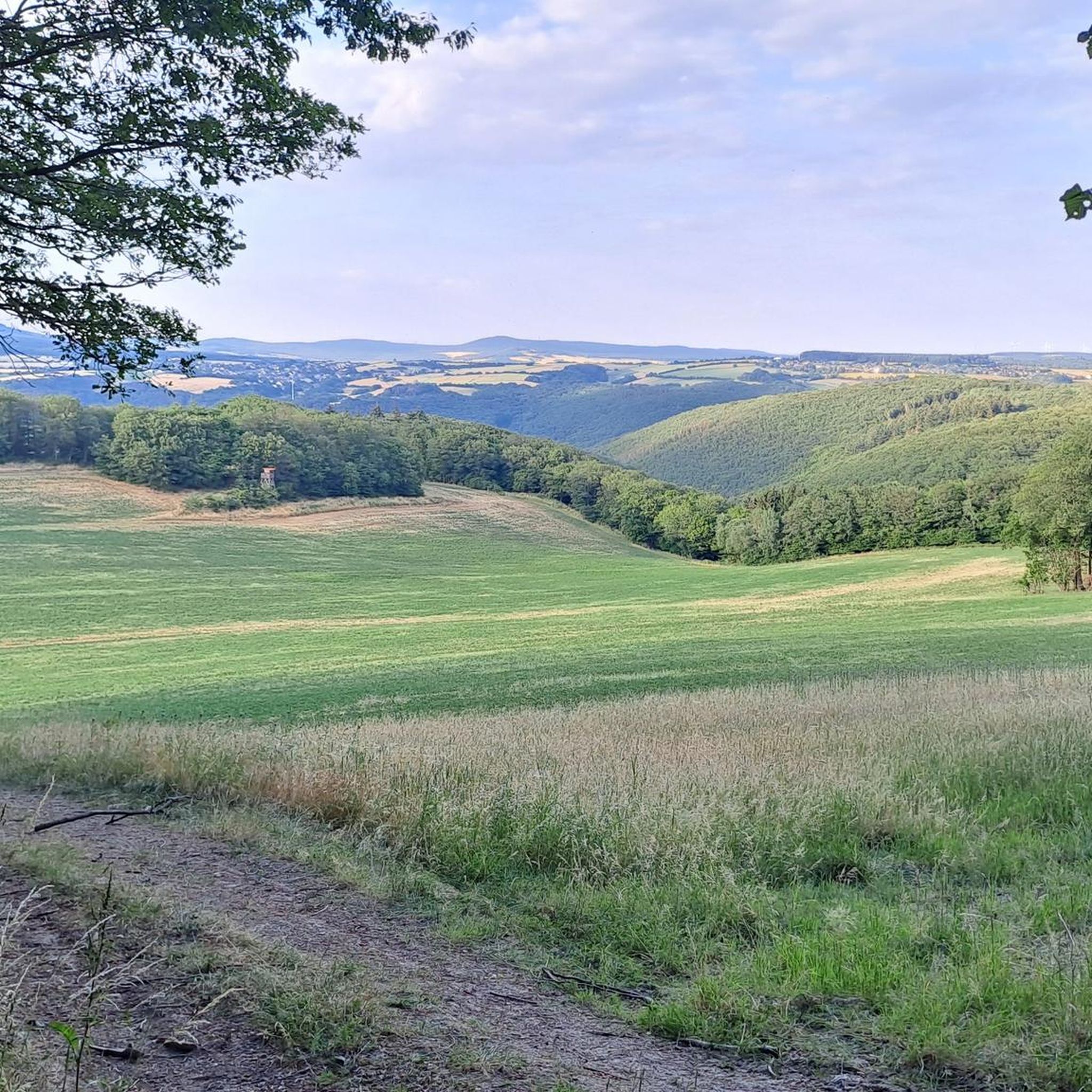
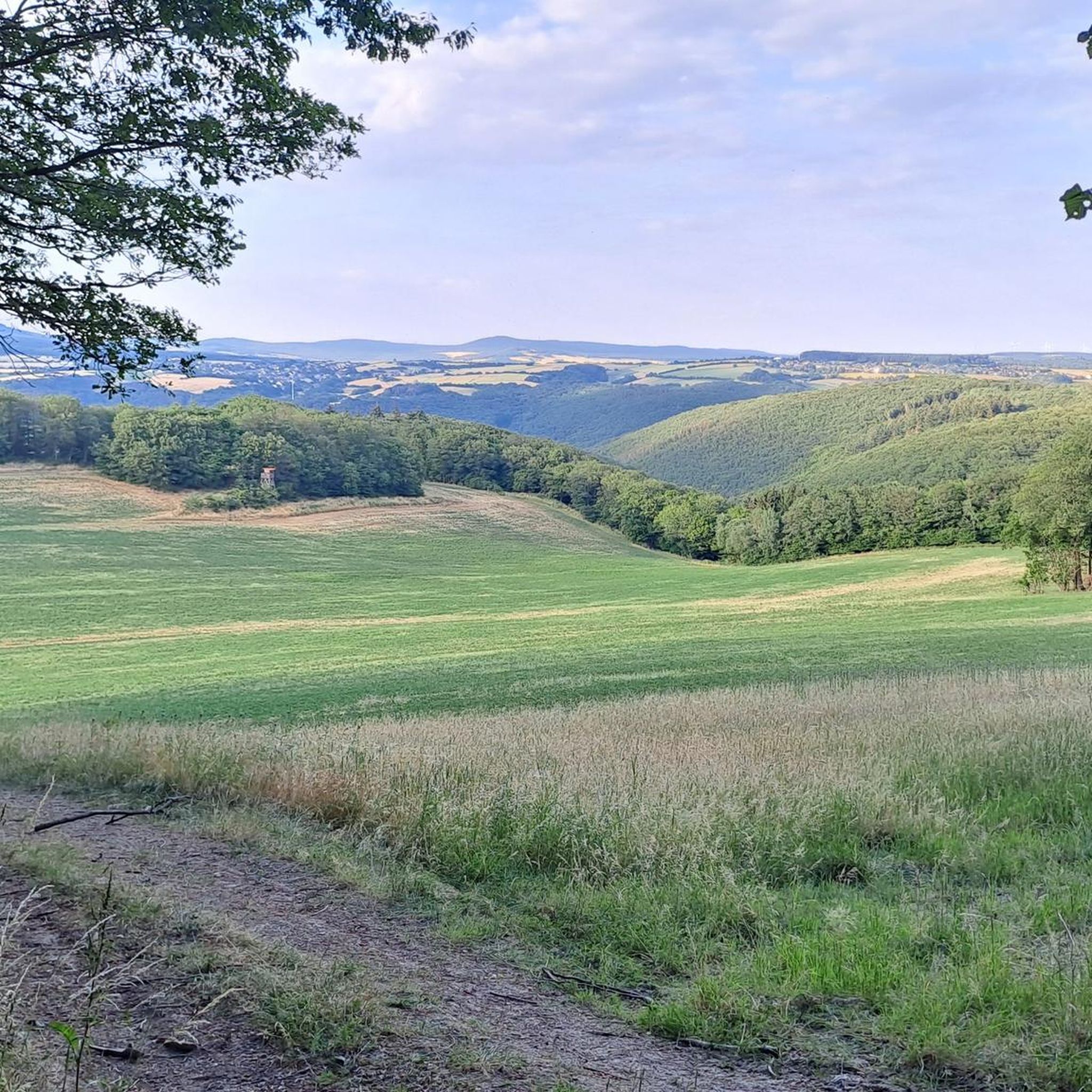
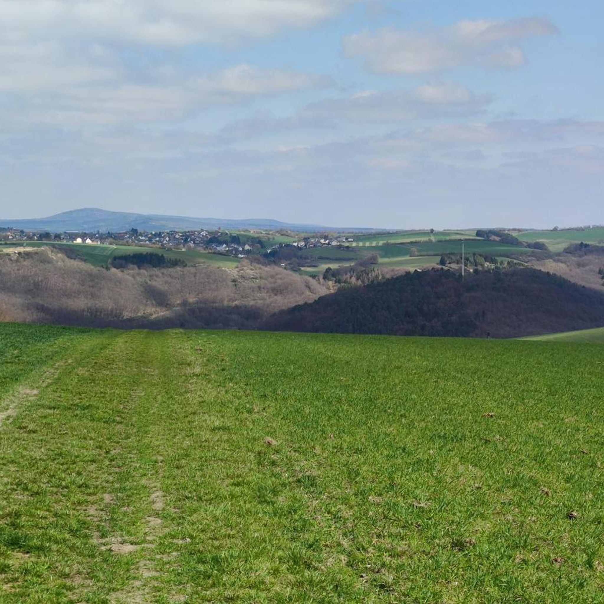
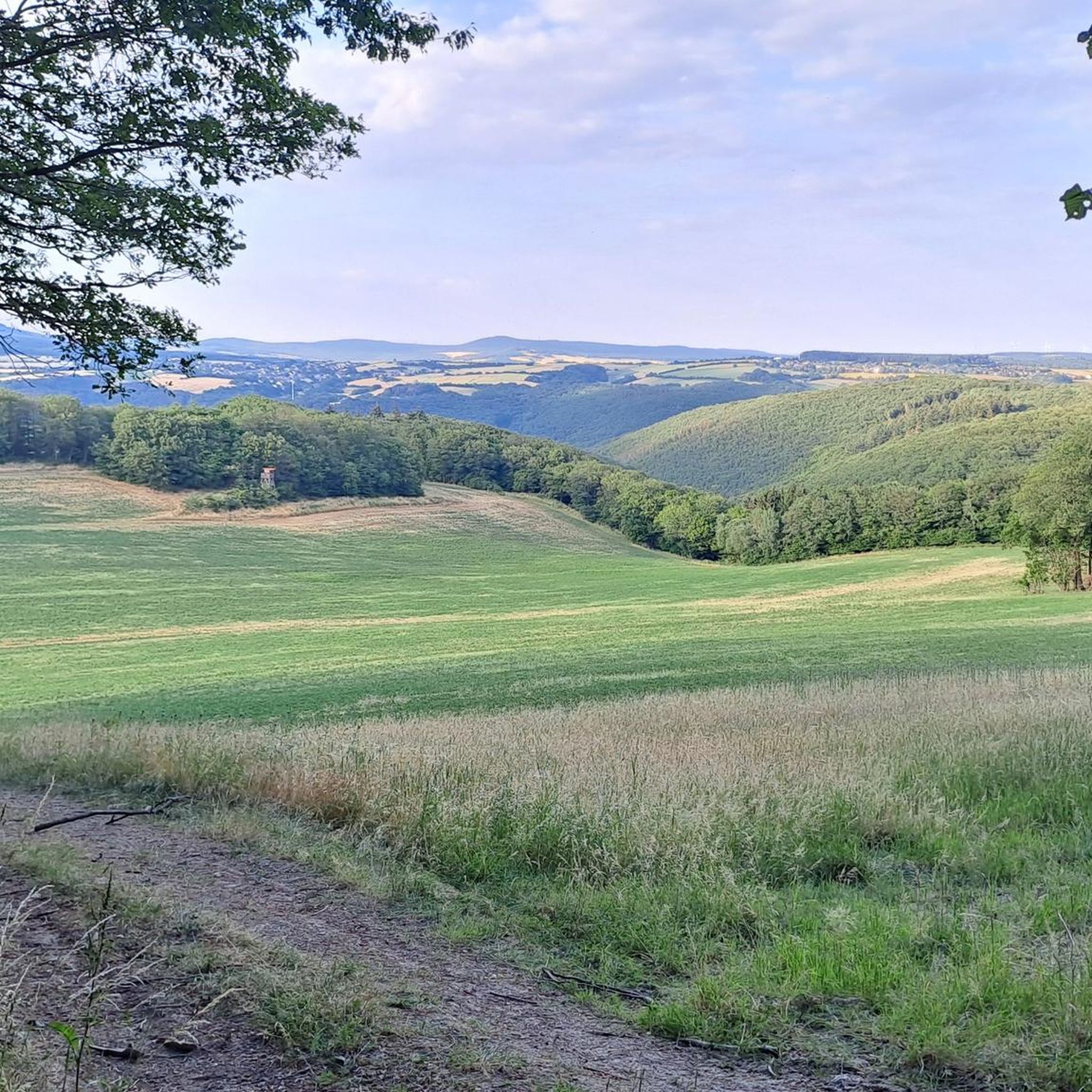
Jogging routes around Griebelschied traverse a diverse landscape characterized by extensive forest trails and varied terrain. The region features beautiful forest paths, providing shaded and scenic routes for runners. Joggers can expect routes that wind through diverse landscapes, including views of hills and tranquil spots. This varied terrain ensures that runs are physically engaging and visually stimulating.
Best jogging routes around Griebelschied
- The most popular jogging route is Little Forest Highway – Viewpoint Huben Rest Area loop from Niederwörresbach,…
Last updated: July 2, 2026
5.0
(1)
19
runners
Hard run. Very good fitness required. Mostly accessible paths. Some sure footedness required.
4.0
(1)
9
runners
6.65km
00:42
40m
40m
Moderate run. Good fitness required. Mostly paved surfaces. Suitable for all skill levels.

Sign up for free
7
runners
8.28km
00:58
230m
230m
Moderate run. Good fitness required. Mostly paved surfaces. Suitable for all skill levels.
5.0
(1)
8
runners
6.62km
00:47
150m
150m
Moderate run. Good fitness required. Mostly paved surfaces. Suitable for all skill levels.
5.0
(1)
6
runners
8.23km
00:55
140m
130m
Moderate run. Good fitness required. Mostly paved surfaces. Suitable for all skill levels.
Get access to more routes and recommendations from other explorers.
Sign up for free
Already have an account?
Our route recommendations are based on thousands of hikes, rides, and runs completed by other people on komoot.
Start today with a free account
Your next adventure awaits.
Login or Signup

Tips from the Community

Hiking sign near Teufelsfels
0
0


A very beautiful trail that everyone involved put a lot of effort into. It's quite challenging in the upper part, but very flowing further down.
0
0

The Devils Rock Trail in Hennweiler takes its name from the "Devil's Rock", near which it starts. After a pleasant uphill and an entertaining traverse on trails to the starting point, there is a brilliant firework display of obstacles on the trail, which cleverly exploits the characteristics of the terrain. In the steeper initial section, things get a bit technical right from the start (S2, the Komoot rating of S3 is exaggerated), including a somewhat cheesy but fun short steep descent, rocky terrain steps and some roots. Later, the forest becomes a bit lighter and a whole battery of jumps follows - some with, some without gaps, so that beginners will also find what they are looking for here. Now that the terrain is noticeably flatter, the trail builders have built a crushed sand line in the forest: It sounds strange, but it works so brilliantly that this section may even have become our favorite part (although every section is simply brilliant!). The smooth crushed sand surface means you can roll along quickly and easily even on very flat terrain, and you can shoot over small and large jumps and push yourself through minimalist but perfectly shaped berms. We should also mention the beautiful skinny constructions that can be found all over the trail, which we had a lot of fun with. Overall, a real gem of a trail that, with its many different faces, not only makes perfect use of the terrain, but is guaranteed to have something to suit every taste! Great! 😊🤙
1
0

A bike route is marked here, not quite as relevant as a hiking highlight
0
0

On December 19, 2020, the hut was made available to the general public. Since then, the interior has been equipped with a sleeping loft of approx. 5 square meters, a 3.5m long solid log table and several benches. The windows and the door keep wind and weather outside. A handcrafted acrylic glass pane is installed in the gable on the south side and allows a view of the sunrise from the sleeping loft. A USB charging station and LED lighting powered by a PV system are available as technical equipment. In the outdoor area, under the roof overhangs, several solid wood seats were installed and also provide visitors with a weatherproof rest area. Since June 2021 we have kept two drawers with mineral water and spritzer in the basement for those who are thirsty. Source: https://hennweiler.de/tourismus/teufelsfelshuette/
8
1
Official trail of the cycling department of FC Hennweiler!
1
0

The hut offers good shelter. To stay just great. Very good work of the builder. Grillparzer in front of the hut is also available. Always only to recommend.
1
0
Frequently Asked Questions
How many running routes are available around Griebelschied?
There are over 100 running routes available around Griebelschied, offering a wide variety of options for different fitness levels and preferences. The komoot community has explored 117 routes in total.
What kind of terrain can I expect on jogging routes in Griebelschied?
Jogging routes in Griebelschied traverse a diverse landscape characterized by extensive forest trails and varied terrain. You can expect beautiful forest paths, shaded routes, and trails that wind through diverse landscapes, including views of hills and tranquil spots. The region offers a mix of surfaces, from mostly paved sections to more challenging routes with significant elevation gains.
What do other runners appreciate most about the trails in Griebelschied?
The running routes in Griebelschied are highly rated by the komoot community, with an average score of 4.5 stars from over 60 reviews. Runners often praise the varied terrain, the scenic forest trails, and the engaging hills that make for a stimulating experience.
Are there any easy jogging routes suitable for beginners in Griebelschied?
Yes, Griebelschied offers options for all ability levels. There are 13 easy routes available, perfect for beginners or those looking for a more relaxed run. These paths generally have less elevation gain and are often shorter in distance.
Can I find longer running routes, for example, around 10km, in the Griebelschied area?
Absolutely. Many routes in the Griebelschied area are suitable for longer runs. For instance, the "Little Forest Highway – Viewpoint Huben Rest Area loop from Niederwörresbach" is a challenging 19.8 km (12.3 miles) trail. There are also numerous moderate routes that can be combined or extended to reach distances around 10km or more.
Are there any running trails that feature waterfalls near Griebelschied?
Yes, you can find natural attractions like waterfalls near Griebelschied. The "Trübenbach Waterfall" is a notable natural monument in the area, and routes in the vicinity might offer opportunities to visit it or other scenic water features.
Can I find routes that include historical sites or castles?
Yes, the region around Griebelschied is rich in historical sites. For example, the "Kyrburg Castle loop from Kirnsulzbach" offers a mix of terrain with views of the historic Kyrburg Castle. You can also explore routes near the "Schmidtburg Castle Ruins" or the "Hellkirch Ruins" for a historical backdrop to your run.
Are the jogging routes around Griebelschied suitable for families?
Many of the moderate and easy routes in Griebelschied are suitable for families, especially those looking for a pleasant outdoor activity. The diverse terrain and scenic views provide an engaging experience for all. It's recommended to check the difficulty and length of specific routes to ensure they match your family's fitness level.
Are dogs allowed on the running trails in Griebelschied?
Generally, dogs are welcome on most trails in natural areas around Griebelschied. However, it's always advisable to keep your dog on a leash, especially in nature reserves or areas with wildlife, and to respect local signage regarding pet regulations. Ensure you carry water for your dog and clean up after them.
Are most running routes around Griebelschied circular?
Many of the popular running routes around Griebelschied are designed as loops, offering convenient starting and ending points. Examples include the "View of Hellberg loop from Kirn" and the "Start of Devil's Rock Trail – Teufelsfels Log Cabin loop from Hennweiler", allowing you to return to your starting point without retracing your steps.
Is there parking available near the trailheads for jogging routes in Griebelschied?
Yes, many trailheads for jogging routes in the Griebelschied area offer designated parking facilities. It's common for popular routes, especially those starting in or near towns like Kirn or Niederwörresbach, to have convenient parking options. Always check the specific route details on komoot for parking information.
What are some scenic viewpoints I can discover while running in Griebelschied?
The region offers several scenic viewpoints that can be incorporated into your runs. The "Devil's Rock" and "Rabenkanzel Rock Formation" are notable viewpoints that provide stunning vistas of the surrounding landscapes. Routes like the "Holger Rieth Bridge loop from Niederhosenbach" also offer picturesque scenery along the way.
Most popular routes around Griebelschied
Most popular attractions around Griebelschied

Get inspired with the komoot mobile app


Explore more
Browse the best Running Trails & Routes in other regions.
