The best running trails around Ellweiler
4.3
(366)
5,896
runners
167
runs
Jogging around Ellweiler offers diverse natural features within the Rhineland-Palatinate region of Germany. The area is characterized by picturesque forests and rolling hills, providing varied terrain suitable for different levels of running activity. Ellweiler is situated within the Saar-Hunsrück Nature Park, an expansive protected area with numerous trails through rustic forests. The nearby Bostalsee (Lake Bostal) also features a 4.2 miles (6.8 km) paved circular path, ideal for a tranquil run.
Best jogging routes around Ellweiler
- The most popular jogging route is Hoppstädten-Weiersbach – Nahe River loop from Hoppstädten-Weiersbach, a 5.7 miles (9.2 km) trail that takes 1 hour to complete. This moderate route follows the Nahe River, offering scenic views.
- Another top favourite among local runners is Bear Cave – The Big Oak loop from Hoppstädten-Weiersbach, a moderate 7.3 miles (11.8 km) path. This route features forest sections and rolling hills, providing a varied workout.
- Local runners also love the Bear Cave – The Big Oak loop from Nohfelden, an 8.0 miles (12.9 km) trail leading through the Saar-Hunsrück Nature Park, often completed in about 1 hour 38 minutes.
- Jogging around Ellweiler is defined by picturesque forests, rolling hills, and paths within the Saar-Hunsrück Nature Park. The network offers options for different ability levels, from easy loops to more challenging routes.
- The routes in Ellweiler are highly rated by the komoot community with an average score of 4.3 stars from over 300 reviews. More than 4000 runners have used komoot to explore Ellweiler's varied terrain.
Last updated: June 26, 2026
5.0
(1)
94
runners
9.18km
01:00
180m
180m
Moderate run. Good fitness required. Mostly paved surfaces. Suitable for all skill levels.
5.0
(1)
42
runners
14.5km
01:51
360m
360m
Hard run. Very good fitness required. Mostly paved surfaces. Suitable for all skill levels.

Sign up for free
16
runners
14.1km
01:40
310m
310m
Hard run. Very good fitness required. Mostly paved surfaces. Suitable for all skill levels.
27
runners
11.8km
01:24
270m
270m
Moderate run. Good fitness required. Mostly paved surfaces. Suitable for all skill levels.
14
runners
14.0km
01:27
100m
100m
Moderate run. Good fitness required. Mostly paved surfaces. Suitable for all skill levels.
Get access to more routes and recommendations from other explorers.
Sign up for free
Already have an account?
Our route recommendations are based on thousands of hikes, rides, and runs completed by other people on komoot.
Start today with a free account
Your next adventure awaits.
Login or Signup
Tips from the Community

The Türkismühle information point is a popular spot for cyclists and hikers in the St. Wendeler Land region. It is located near the former mill, dating back to 1747, and features information panels about its history. The surrounding area is ideal for hikes and bike rides through the picturesque landscape.
2
0
On the Sankt Wendeler Land Railway Cycle Route, a rest area with a historic carriage invites you to take a special break. The lovingly preserved carriage is a reminder of the route's railway past. Here, you can take a leisurely rest, enjoy a bite to eat, or simply enjoy the atmosphere.
4
0
The St. Wendeler Land Railway Cycle Route near Türkismühle follows a former railway line through idyllic landscapes. The route is flat and well-maintained—ideal for relaxing bike rides.
2
0

We passed through here on the third day of our Trier-Grünstadt tour. It's one of the most beautiful bike paths we've ever ridden.
3
0

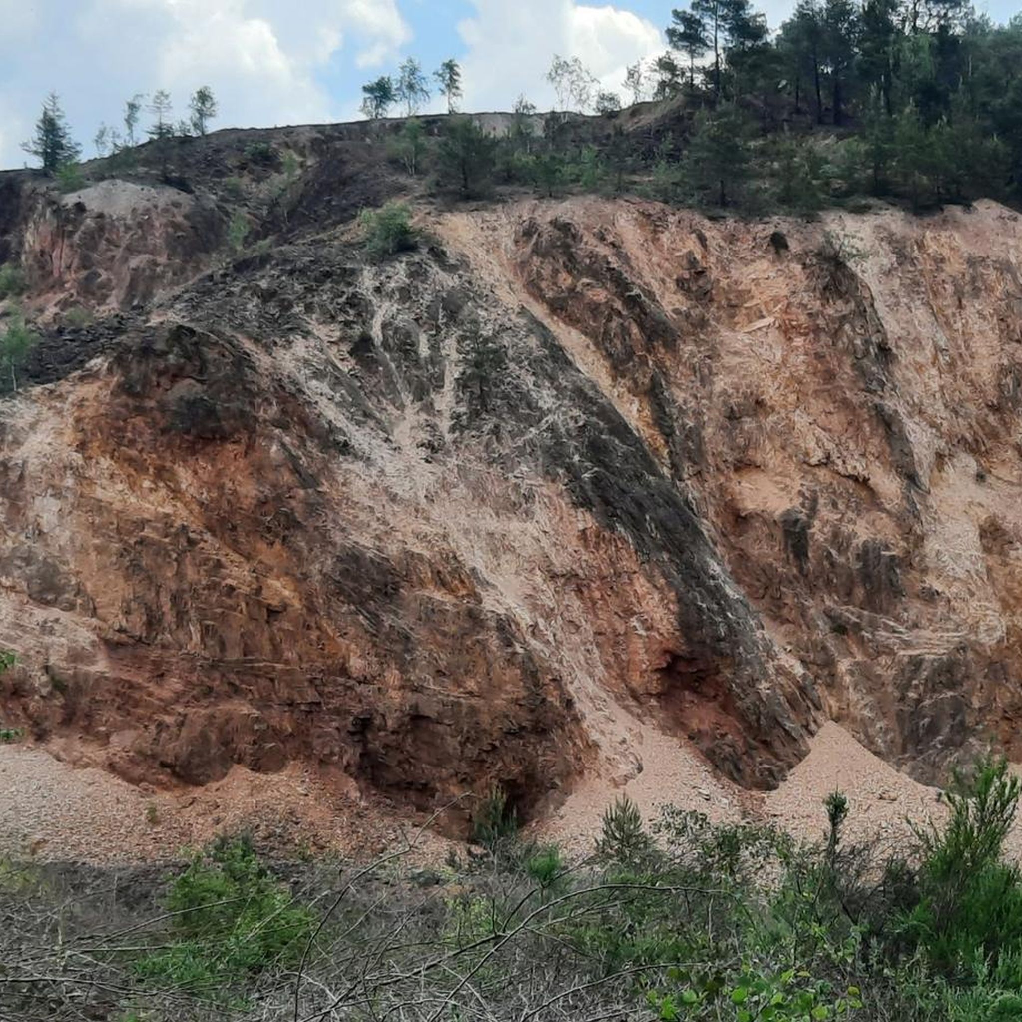
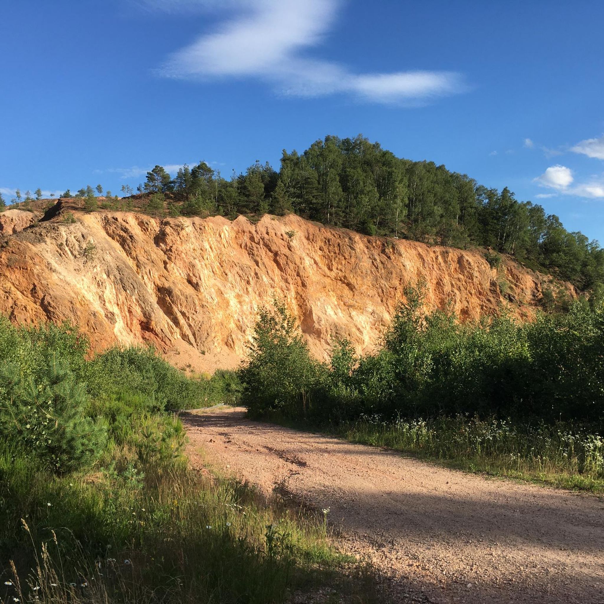
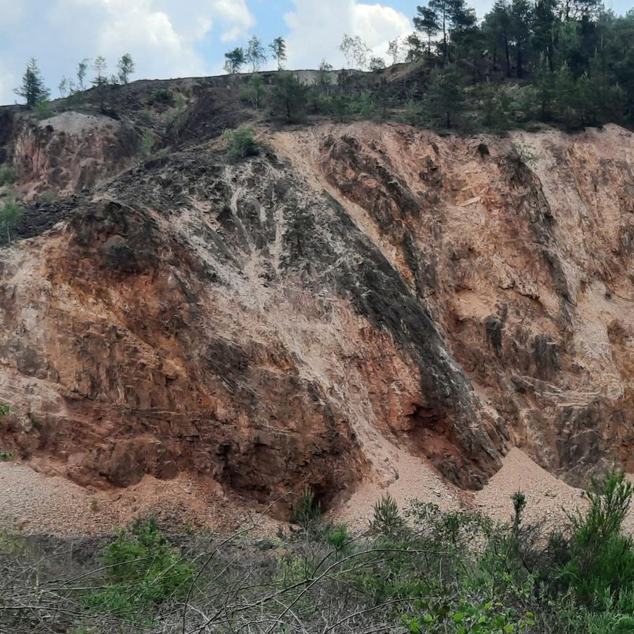
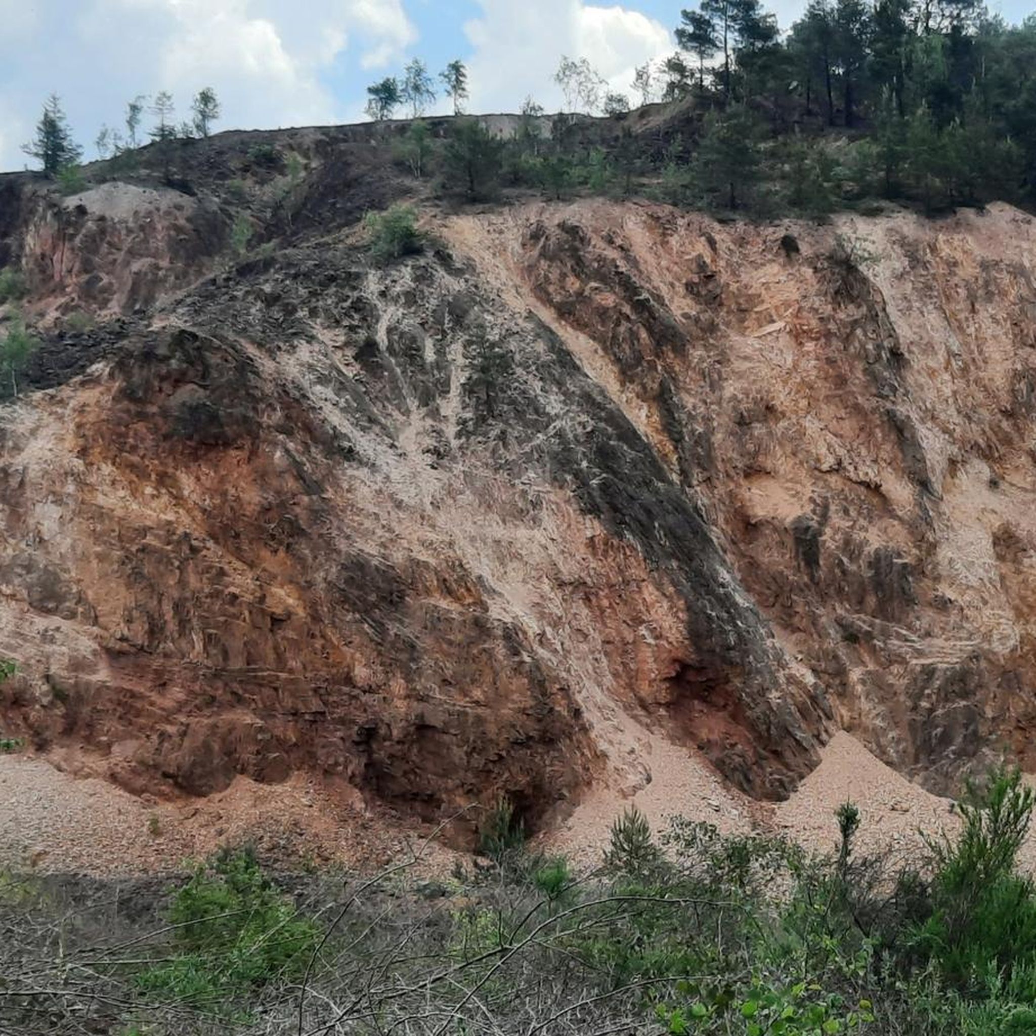
🪨 Bärenfels rock outcrop – a striking vantage point above the valley The Bärenfels is a striking rock formation at the edge of the forest, offering expansive views over the region's forests, hills, and valleys. The rock outcrop juts slightly above the terrain and offers a natural panoramic viewpoint for hikers with a head for heights. Tip: In dry weather, the rock is easy to climb – sturdy shoes are a must! Ideal for a short rest with a view and a great photo opportunity.
0
0

great new bike path
2
0


The Europe-wide deportations to the Nazi concentration camps have also left their mark here.
0
0
Frequently Asked Questions
How many running routes are available around Ellweiler?
Komoot offers a wide selection of over 140 running routes around Ellweiler. These routes cater to various fitness levels, with a good mix of easy, moderate, and challenging options.
What kind of terrain can I expect on jogging trails in Ellweiler?
The jogging trails in Ellweiler are characterized by picturesque forests and rolling hills, providing a varied terrain. You'll find paths through rustic woodlands within the Saar-Hunsrück Nature Park, offering natural gradients for a diverse workout.
Are there any easy running routes suitable for beginners or a relaxed jog?
Yes, Ellweiler has several easy running routes. For a gentle introduction to the local landscape, consider the Fischwaid Fishing Pond loop from Birkenfeld, which is an easy 4.7 km (2.9 miles) trail. There are 18 easy routes in total.
Are there any circular running routes around Ellweiler?
Absolutely! Many of the running routes around Ellweiler are circular, allowing you to start and finish at the same point. A notable option is the 6.8 km (4.2 miles) paved circular path around Bostalsee (Lake Bostal), which is excellent for a tranquil run with scenic views.
What are some scenic highlights or attractions I might see while running in the area?
While jogging around Ellweiler, you can encounter several interesting sights. The region is part of the Saar-Hunsrück Nature Park, offering beautiful natural scenery. You might pass by historical sites like the Stone Steps on the Celtic Ring Wall (Hunnenring) or enjoy views of Bostalsee from the dam. The idyllic Ellweilerbach stream also offers beautiful paths.
Are the running routes in Ellweiler suitable for families?
Yes, many routes are suitable for families, especially the easier, flatter paths. The paved circular path around Bostalsee is particularly family-friendly. The diverse network of trails includes options that are less strenuous, perfect for a family outing.
Can I bring my dog on the jogging trails around Ellweiler?
Generally, the natural trails and forest paths in the Saar-Hunsrück Nature Park are dog-friendly. However, it's always recommended to keep your dog on a leash, especially in protected areas or near wildlife, and to check specific route regulations if available.
What do other runners think about the jogging routes in Ellweiler?
The running routes in Ellweiler are highly rated by the komoot community, with an average score of 4.3 out of 5 stars from over 300 reviews. Runners often praise the varied terrain, picturesque forests, and the well-maintained paths within the Saar-Hunsrück Nature Park.
Are there any running routes that offer a more challenging workout?
Yes, for those seeking a more challenging run, Ellweiler offers 17 difficult routes. The rolling hills and varied terrain within the Saar-Hunsrück Nature Park provide natural gradients for a more intense workout. The Litzelkopf loop from Ellenberg is a moderate 5.2 km (3.2 miles) path with significant elevation changes.
Is there parking available near the running trails in Ellweiler?
While specific parking details for every route are not listed here, the region around Ellweiler is generally well-equipped for outdoor activities. Many trailheads, especially those near popular spots like Bostalsee or villages, typically offer designated parking areas for visitors.
Are there any running routes that pass through the Saar-Hunsrück Nature Park?
Ellweiler is situated directly within the Saar-Hunsrück Nature Park, so many of the running routes naturally traverse this expansive protected area. For example, the Nahesteig Trailhead loop from Hoppstädten-Weiersbach leads directly through the park's scenic landscapes.
What is the best time of year to go jogging in the Ellweiler region?
The Hunsrück-Nahe region, including Ellweiler, is beautiful for jogging throughout much of the year. Spring and autumn offer pleasant temperatures and vibrant scenery, while summer provides longer daylight hours. Winter can also be enjoyable, though some trails might be more challenging due to snow or ice.
Most popular attractions around Ellweiler

Get inspired with the komoot mobile app


Explore more
Browse the best Running Trails & Routes in other regions.
