The best MTB trails around Bresse-Sur-Grosne
4.4
(47)
245
riders
66
rides
Mountain bike trails around Bresse-sur-Grosne traverse a landscape characterized by wooded hills and river valleys, offering varied terrain for cyclists. The region, situated between the Grosne and Grison rivers, features a mix of inclines and descents alongside flatter routes. This rural plain, dotted with woodlands, provides a scenic backdrop for mountain biking. The area's network of paths and roads allows for exploration across its diverse natural features.
Best mountain bike trails around Bresse-Sur-Grosne
- The most popular mountain bike trail is…
Last updated: July 6, 2026
4.3
(6)
22
riders
39.1km
03:22
750m
750m
Moderate mountain bike ride. Good fitness required. Suitable for all skill levels.
5.0
(3)
33
riders
24.3km
02:26
540m
550m
Moderate mountain bike ride. Good fitness required. Suitable for all skill levels.

Sign up for free
24
riders
37.9km
02:00
170m
170m
Easy mountain bike ride. Great for any fitness level. Suitable for all skill levels.
3.0
(3)
9
riders
20.0km
02:04
550m
550m
Moderate mountain bike ride. Good fitness required. Advanced riding skills necessary.
4.5
(4)
15
riders
44.2km
02:19
210m
210m
Moderate mountain bike ride. Good fitness required. Suitable for all skill levels.
Get access to more routes and recommendations from other explorers.
Sign up for free
Already have an account?
Our route recommendations are based on thousands of hikes, rides, and runs completed by other people on komoot.
Start today with a free account
Your next adventure awaits.
Login or Signup

Tips from the Community

The Tour des Fromages is a preserved defensive tower from the 11th century, which originally belonged to the ramparts of the powerful Abbey of Cluny. In the Middle Ages, the structure was still called Tour des Fèves (Bean Tower), as supplies were stored there. It got its current, curious name in the 19th century because a merchant used the tower to dry her homemade cheeses. Today, the tower is a popular attraction. Visitors can climb the 120 steps to the top. From up there, you have a beautiful 360-degree panoramic view over the entire medieval monastic city and the surrounding Burgundy landscape. Access to the tower is directly through the local Cluny tourist office.
1
0
The Halle ronde (the "round hall") in the French municipality of Givry was built between 1825 and 1830. It was designed by the regionally known architect Lazare Narjoux. It originally served as a grain hall (Halle au blé) to supply the surrounding mills and the population with grain. Due to its rare, circular design, the market hall has been classified as a historic monument since 1931.
0
0
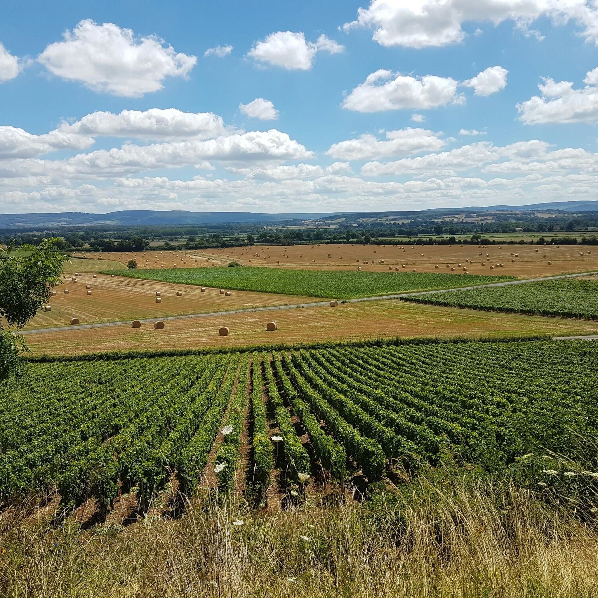
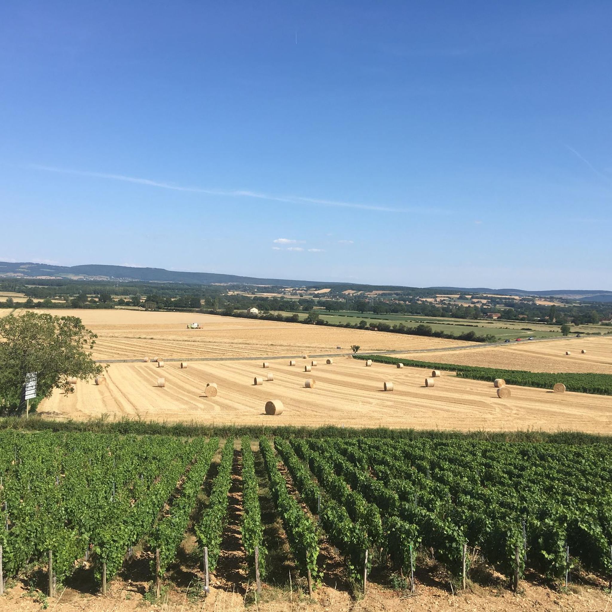
This location is part of a moderate circular hike starting from Mancey. The path there leads over easily walkable trails through nature and rewards hikers with this wide panoramic view over the French countryside.
0
0
The classic ascent from Mancey is considered a tough short climb in Category 3. Over a distance of 2.2 kilometers, 166 meters of altitude must be overcome. The average gradient is 7.55%, with peak sections of up to 14%. The path junction leads to various hiking trails and gravel paths through the wooded and wine-rich hilly landscape of the Mâconnais.
0
0
The station no longer serves trains. The historic site has been transformed into a vibrant leisure zone (Aire de loisirs de la gare). The building is located directly on the Voie Verte de Bourgogne du Sud, a well-known 77 km cycle path on a former railway line. Travelers will find a bicycle rental service for regular and electric bikes, a tool station for repairs, picnic tables, public restrooms, and a children's playground. It also serves as a starting point for excursions, for example to the nearby Château de Cormatin.
0
0
The Crainseny Viaduct (French: Viaduc de Crainseny) is a historic railway bridge in the south of the Côte Chalonnaise region. The viaduct was built in 1882. It has a total length of 246 meters, spans the valley at a height of around 23 meters, and features a distinctive curve with a radius of 400 meters. The masonry bridge consists of 16 elegant round arches, each with a span of 12 meters. Originally, the railway ran here on the Étiveau-Montchanin line, connecting the towns of Saint-Gengoux-le-National and Montchanin. Train services were discontinued in 1969.
0
0
The pass is located on Rue des Maquisards in the municipality of Nanton. It is a popular destination for cycling tours. The ascent from the municipality of Mancey covers a distance of 2.2 kilometers. Cyclists overcome 166 meters of altitude on this tough route with an average gradient of 7.55%. The surrounding area also offers a versatile network of trails for easy to medium-difficulty hikes through rolling hills, mixed forests, and to nearby viewpoints such as Roche d'Aujou.
0
0
The rock, located at an altitude of just under 480 meters, offers a wide panorama over the Grosne valley. In addition to its scenic beauty, the place is historically significant: during World War II, it served as a secret hiding place for young members of the French Resistance.
0
0
Frequently Asked Questions
What types of mountain bike trails can I find around Bresse-Sur-Grosne?
Bresse-Sur-Grosne offers a diverse range of mountain bike trails, characterized by wooded hills, river valleys, and rural plains. You'll find options suitable for easy, moderate, and challenging ability levels, with a total of 64 routes available. The terrain includes a mix of inclines, descents, and flatter sections along the rivers.
Are there any beginner-friendly mountain bike trails in the area?
Yes, there are 12 easy mountain bike trails around Bresse-Sur-Grosne, perfect for beginners or those looking for a more relaxed ride. These routes typically feature less challenging terrain and elevation changes, allowing you to enjoy the scenic rural landscape at a comfortable pace.
Can I find mountain bike trails with scenic viewpoints?
Absolutely. The region's wooded hills often provide opportunities for panoramic views. For example, the Roche d'Aujou viewpoint – Col de Navois loop from Étrigny is a popular moderate trail that leads through wooded hills and offers stunning vistas.
Are there any circular mountain bike routes around Bresse-Sur-Grosne?
Many of the mountain bike routes in Bresse-Sur-Grosne are designed as loops, allowing you to start and finish at the same point. Examples include the popular Fley – Culles les Roches loop from En Joli Cœur and the Discovery Trail in the Forest loop from Étrigny.
What is the best time of year for mountain biking in Bresse-Sur-Grosne?
The rural setting of Bresse-Sur-Grosne, with its lush-green plains and woodlands, makes it enjoyable for mountain biking through much of the year. Spring and autumn offer pleasant temperatures and beautiful scenery. While specific trail conditions vary, the area's network of paths is generally accessible, though some trails might be muddy after heavy rain.
What kind of duration can I expect for mountain bike trails here?
Trail durations vary depending on the route and your pace. For instance, the moderate Fley – Culles les Roches loop from En Joli Cœur typically takes around 3 hours 19 minutes to complete, while the Roche d'Aujou viewpoint – Col de Navois loop from Étrigny can be finished in about 2 hours 4 minutes.
What do other mountain bikers say about the trails in Bresse-Sur-Grosne?
The mountain bike routes in Bresse-Sur-Grosne are highly rated by the komoot community, with an average score of 4.4 stars from over 40 reviews. Many riders appreciate the varied terrain, the peaceful rural atmosphere, and the opportunities to explore the region's natural beauty.
Are there any historical sites or attractions near the mountain bike trails?
Yes, Bresse-Sur-Grosne and its surroundings are rich in history. You can explore the medieval Sercy Castle, the impressive Cormatin Castle, or the historic Brancion Castle. The village itself features old houses from the 16th and 17th centuries, fortified farms, and lavoirs, offering a glimpse into the region's past.
Are there any trails that pass by unique natural features?
The region is situated between the Grosne and Grison rivers, offering routes that follow river valleys. The broader Bresse region is known for its charming, lush-green plains dotted with woodlands. While specific unique natural features like waterfalls are not highlighted, the overall landscape provides a serene and scenic backdrop for your ride.
Are there any long-distance mountain bike routes available?
Yes, for those looking for longer rides, routes like the Saône-et-Loire Greenway – Les Marguerons Washhouse loop from La Grande Agasse cover a distance of over 44 kilometers, offering an extended exploration of the region's varied landscapes.
What is the typical elevation gain on mountain bike trails in Bresse-Sur-Grosne?
The elevation gain varies significantly across trails, reflecting the mix of wooded hills and river valleys. For example, the Fley – Culles les Roches loop from En Joli Cœur involves over 750 meters of ascent, while the Saône-et-Loire Greenway – Les Marguerons Washhouse loop from La Grande Agasse has a more gentle 218 meters of elevation gain.
Most popular routes around Bresse-Sur-Grosne
Most popular attractions around Bresse-Sur-Grosne

Get inspired with the komoot mobile app


Explore more
Browse the best MTB trails in other regions.
