The best walks and hikes around Lucenay-L'Évêque
4.4
(238)
755
hikers
50
hikes
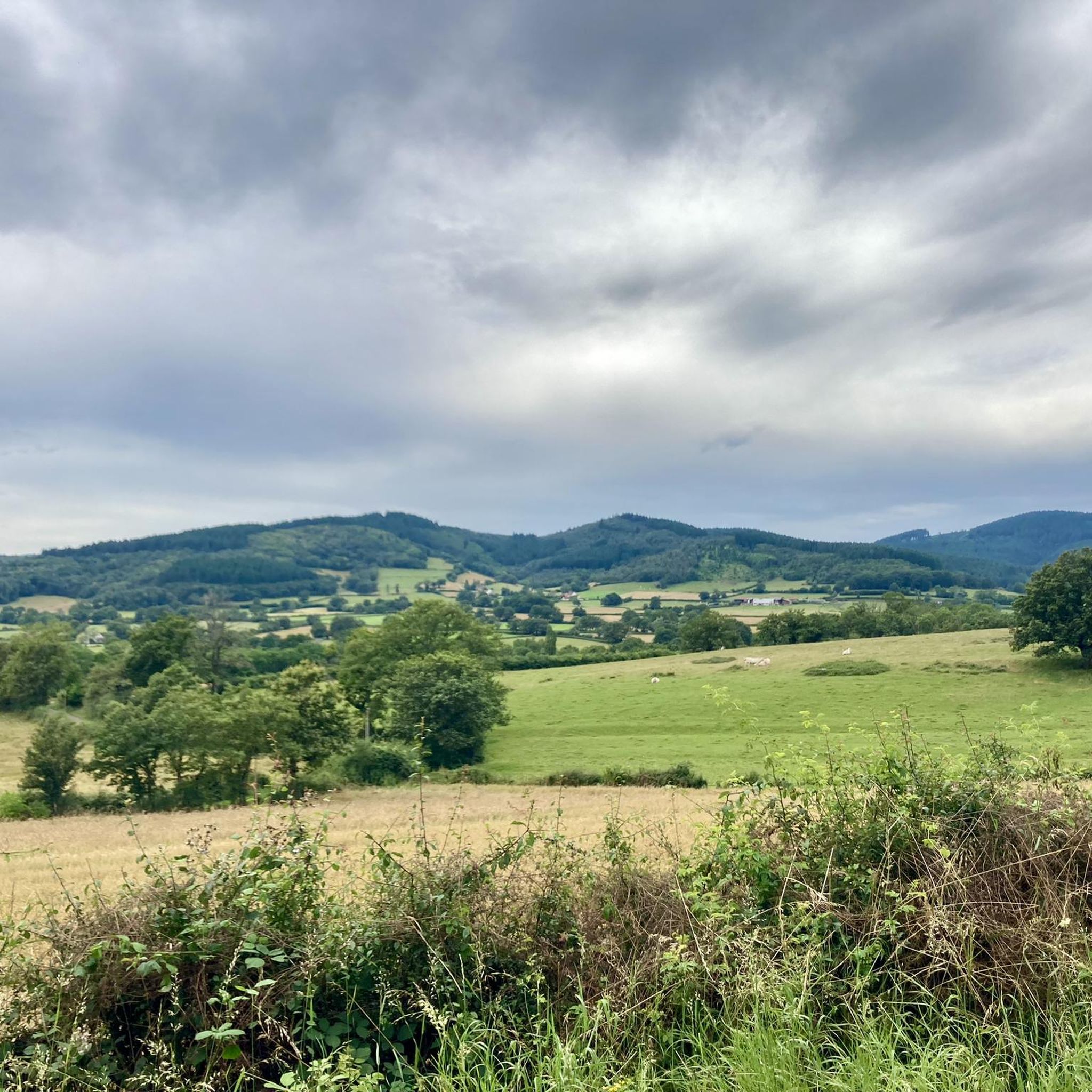
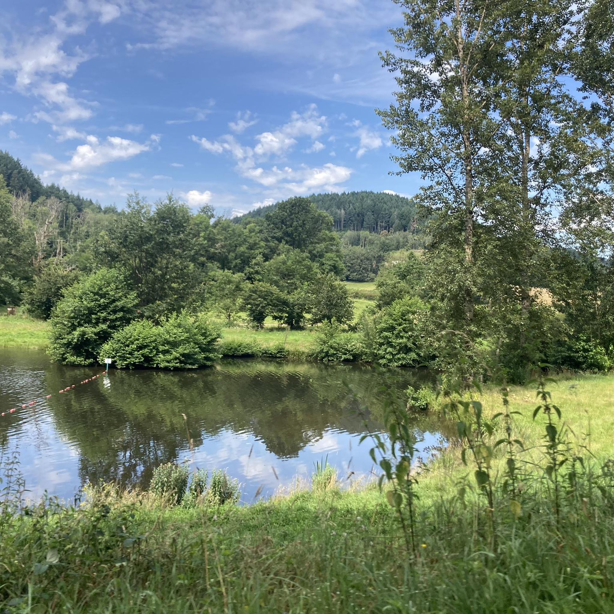
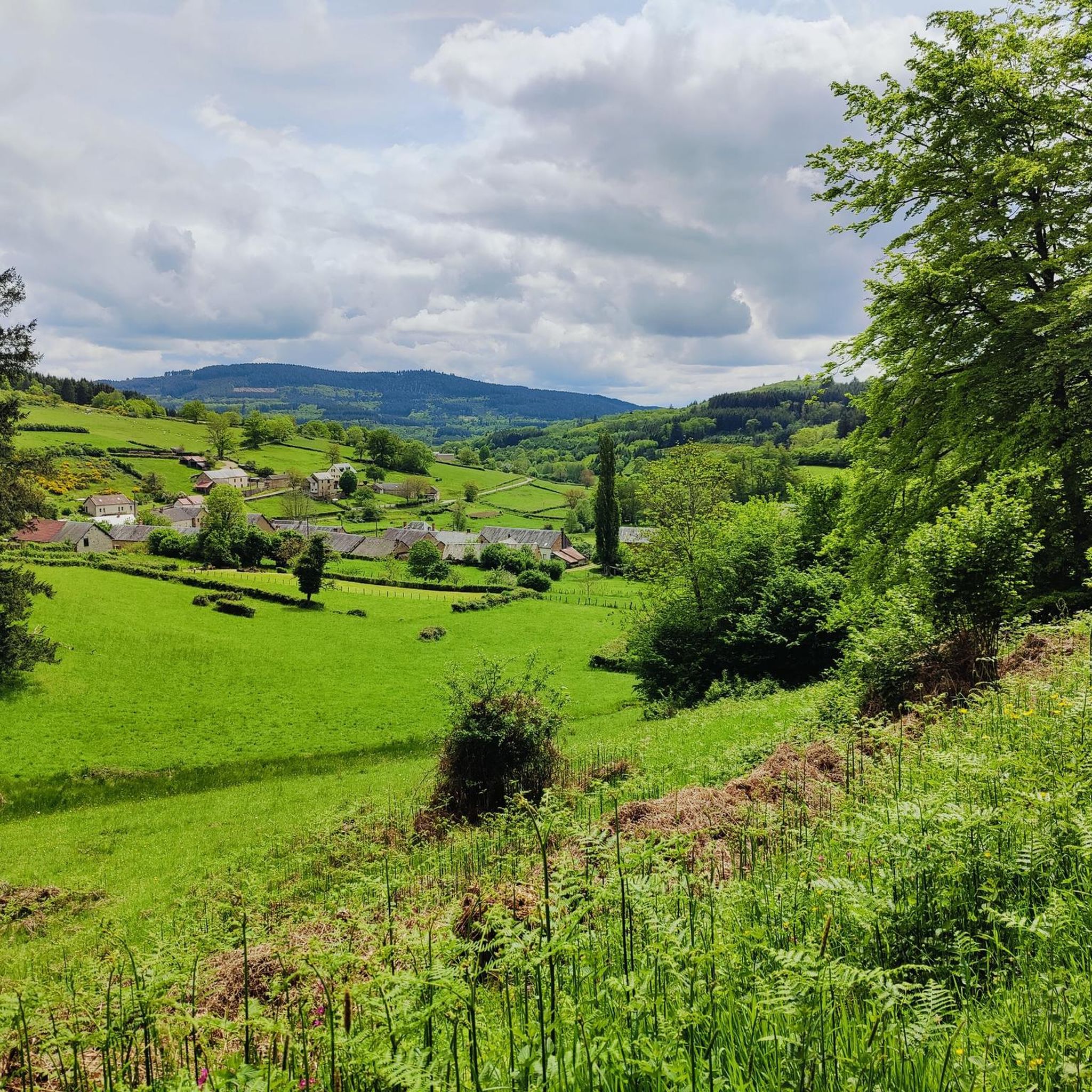
Hiking around Lucenay-L'Évêque offers a variety of trails through the rolling landscapes of Burgundy, characterized by dense woodlands, open fields, and tranquil lakes. The region's terrain features gentle ascents and descents, making it accessible for various fitness levels. Many routes traverse the picturesque countryside, often passing by historic sites or natural water features.
Best hiking trails around Lucenay-L'Évêque
- The most popular hiking route is Château de Buis loop from Chissey-en-Morvan, a 4.3 miles (6.9 km) trail that takes 1…
Last updated: July 6, 2026
4.6
(9)
21
hikers
6.90km
01:55
130m
130m
Easy hike. Great for any fitness level. Easily-accessible paths. Suitable for all skill levels.
4.4
(13)
18
hikers
8.16km
02:24
210m
210m
Moderate hike. Good fitness required. Easily-accessible paths. Suitable for all skill levels.

Sign up for free
4.5
(4)
8
hikers
8.54km
02:27
200m
200m
Moderate hike. Good fitness required. Easily-accessible paths. Suitable for all skill levels.
5.0
(2)
5
hikers
15.3km
04:25
380m
380m
Moderate hike. Good fitness required. Easily-accessible paths. Suitable for all skill levels.
4
hikers
8.40km
02:23
180m
180m
Moderate hike. Good fitness required. Easily-accessible paths. Suitable for all skill levels.
Get access to more routes and recommendations from other explorers.
Sign up for free
Already have an account?
Our route recommendations are based on thousands of hikes, rides, and runs completed by other people on komoot.
Start today with a free account
Your next adventure awaits.
Login or Signup
Tips from the Community


The Col de la Croix d'Allye from Cussy-en-Morvan is 3km long with an average gradient of 3%.
0
0

Also nice from the other side. But not always shady 😉
0
0

Frequently Asked Questions
How many hiking trails are available around Lucenay-L'Évêque?
There are over 45 hiking trails around Lucenay-L'Évêque, offering a diverse range of options through the rolling landscapes of Burgundy. These trails cater to various fitness levels, from easy strolls to more challenging routes.
Are there easy hiking trails suitable for beginners or casual walkers?
Yes, the region features over 25 easy hiking trails. A great choice for a relaxed walk is the Château de Buis loop from Chissey-en-Morvan, which is 4.3 miles (6.9 km) and offers pleasant views of the local countryside.
What kind of terrain can I expect on hikes around Lucenay-L'Évêque?
Hikes in this area typically traverse dense woodlands, open fields, and serene lake areas. You'll encounter gentle ascents and descents characteristic of Burgundy's rolling hills, making for varied and picturesque walks.
Are there any challenging hikes for experienced trekkers?
While most trails are easy to moderate, there is at least one difficult route for those seeking a greater challenge. For a longer, moderate option, consider the Badestrand – Col de la croix d'Allye loop from Sommant, which covers 9.5 miles (15.3 km) with significant elevation changes.
Are there circular hiking routes available?
Yes, many of the trails around Lucenay-L'Évêque are circular, allowing you to start and end at the same point. An example is the Badestrand – Amazing tree loop from Sommant, a 5.3-mile (8.5 km) route through diverse woodland.
What are some interesting landmarks or attractions I might see along the trails?
The region offers several points of interest. You might encounter historical religious buildings like the Chapel of Sainte-Claire or the Saint-Laurent Church of Manlay. There are also scenic mountain passes such as the Col de la Croix de Chèvre.
What do other hikers enjoy most about the trails in Lucenay-L'Évêque?
The trails are highly rated by the komoot community, with an average score of 4.4 stars from over 200 reviews. Hikers often praise the diverse terrain, including forest sections and open areas with scenic viewpoints, as well as the tranquil atmosphere of the woodlands and lakes.
Are there family-friendly hiking options?
Yes, the region is well-suited for family outings, with many easy and moderate trails that are not too strenuous. The varied landscapes and points of interest can keep younger hikers engaged.
Is it possible to hike with dogs in this area?
Generally, dogs are welcome on trails in the Lucenay-L'Évêque area, especially in the natural woodlands and open fields. However, it's always advisable to keep them on a leash, particularly near livestock or in protected natural areas, and to check for any specific local regulations.
When is the best time of year to go hiking around Lucenay-L'Évêque?
Spring and autumn are ideal for hiking in this region, offering pleasant temperatures and beautiful scenery with blooming wildflowers or vibrant fall foliage. Summer can also be enjoyable, especially in the shaded woodland areas, but be prepared for warmer weather. Winter hiking is possible, but some trails might be muddy or slippery.
Where can I find parking for hiking trails?
Many trailheads, especially those starting from villages or popular natural sites, typically have designated parking areas. For specific routes, it's often indicated in the route details on komoot where the best starting points and parking facilities are located.
Are there any trails that feature lakes or water views?
Yes, the region is known for its tranquil lakes. The Étang Sarrasin loop from Savilly is a moderate 5.2-mile (8.4 km) route that offers views of the Étang Sarrasin, providing a lovely waterside hiking experience.
Most popular routes around Lucenay-L'Évêque
Most popular attractions around Lucenay-L'Évêque

Get inspired with the komoot mobile app


Explore more
Browse the best Hikes in other regions.
