The best walks and hikes around Saint-Léger-Sous-Beuvray
4.5
(269)
1,507
hikers
45
hikes
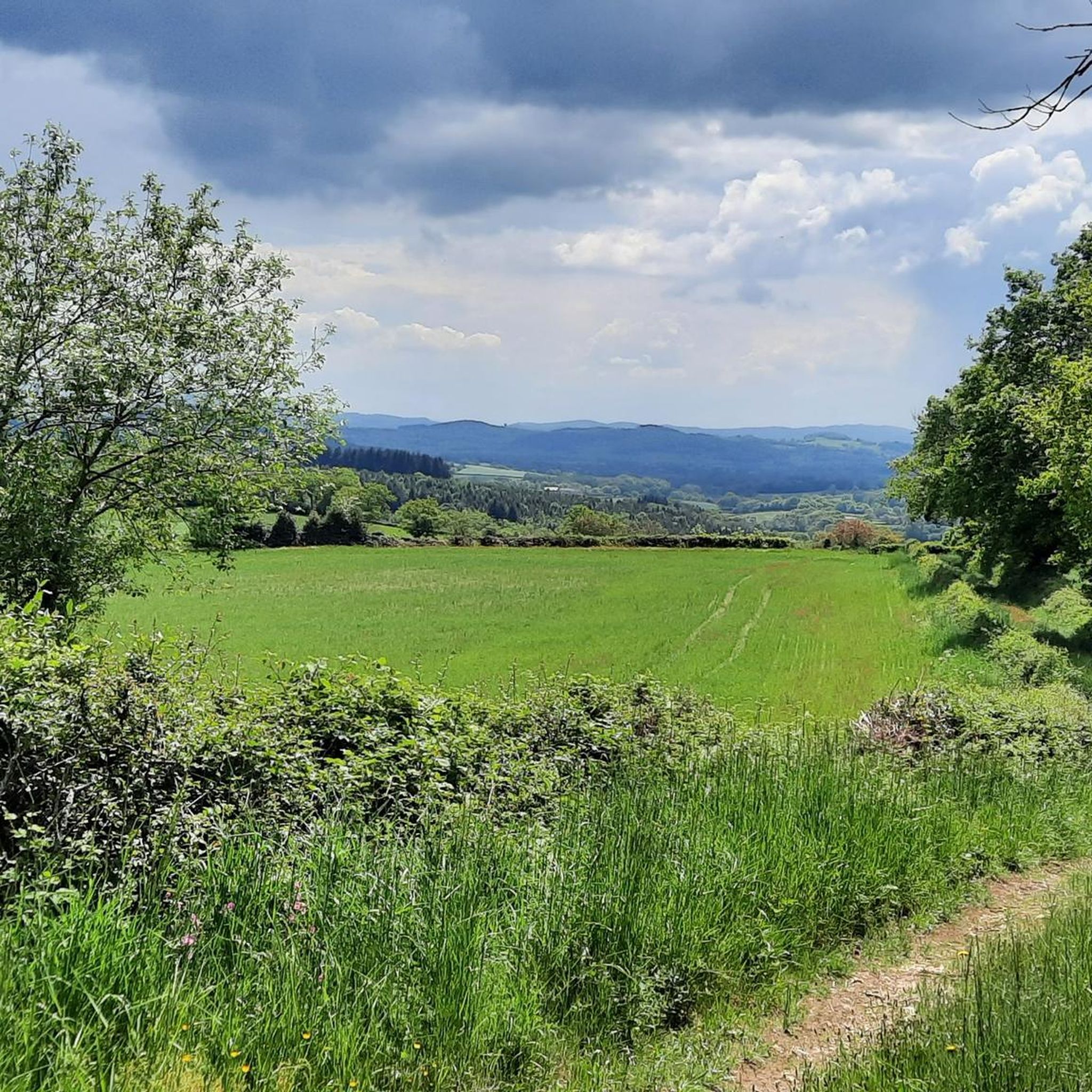
Hiking around Saint-Léger-Sous-Beuvray offers access to the diverse landscapes of the Morvan Regional Natural Park. The region is characterized by granite formations, dense forests, and rolling hills, with Mont Beuvray rising to 821 meters. Trails often traverse ancient woodlands, follow tranquil streams, and lead to historical sites like Bibracte. This area provides a variety of terrain for outdoor exploration.
Best hiking trails around Saint-Léger-Sous-Beuvray
- The most popular hiking route is Tour of the Ramparts of Bibracte, an easy 3.5…
Last updated: May 26, 2026
4.7
(25)
73
hikers
5.69km
01:38
140m
140m
Easy hike. Great for any fitness level. Easily-accessible paths. Suitable for all skill levels.
4.7
(54)
349
hikers
8.24km
02:27
250m
250m
Moderate hike. Good fitness required. Easily-accessible paths. Suitable for all skill levels.

Sign up for free
4.7
(29)
215
hikers
5.19km
01:36
200m
200m
Easy hike. Great for any fitness level. Easily-accessible paths. Suitable for all skill levels.
4.7
(3)
26
hikers
Moderate hike. Good fitness required. Easily-accessible paths. Suitable for all skill levels.
5.0
(1)
24
hikers
7.31km
02:16
270m
270m
Moderate hike. Good fitness required. Easily-accessible paths. Suitable for all skill levels.
Get access to more routes and recommendations from other explorers.
Sign up for free
Already have an account?
Our route recommendations are based on thousands of hikes, rides, and runs completed by other people on komoot.
Start today with a free account
Your next adventure awaits.
Login or Signup
Popular around Saint-Léger-Sous-Beuvray

Other adventures around Saint-Léger-Sous-Beuvray

Tips from the Community

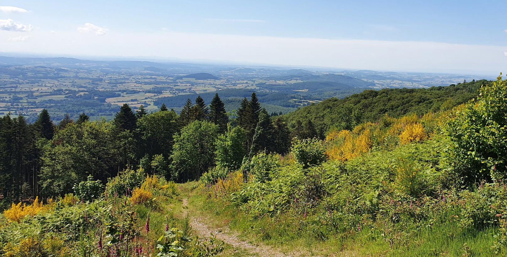
nice forest path, passing over the summit of Mont Beuvray (821m)
0
0

What a view! Wonderful to enjoy the view from a tree trunk.
0
0

Combine your visit with a walk through the forest and experience the fabulous views and the fantastic forest.
0
0

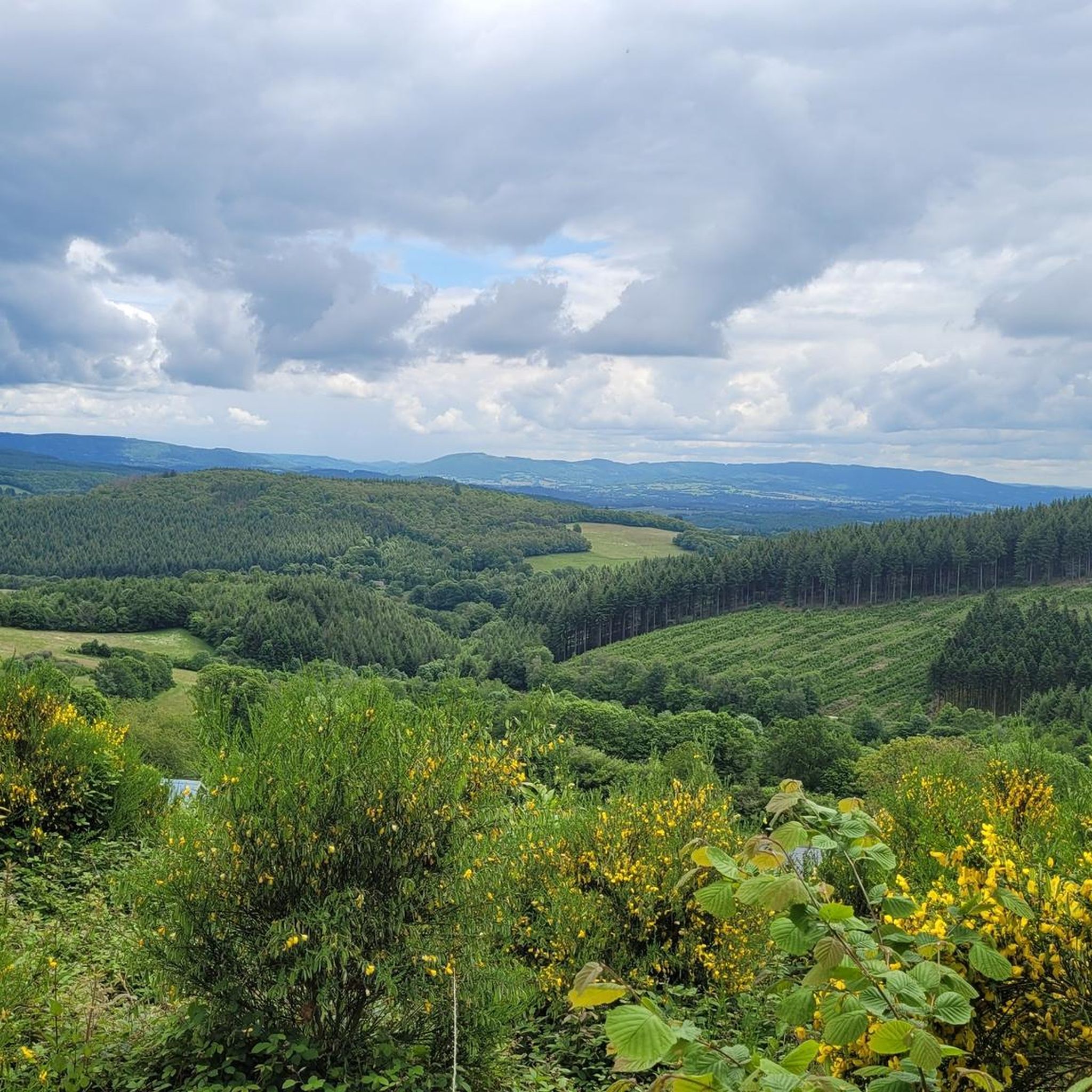
Beautiful view of the east side of the Morvan
0
0
When the weather is good you can even see Mont Blanc
0
0

The Bibracte museum retraces the life of the Euden capital. Located at the foot of Mont Beuvray, the museum is open from mid-March to mid-November and is located a few hundred meters from the archaeological site of Bibracte.
0
1

Mont Beuvray culminates at 821 meters in the Morvan massif, in Burgundy-Franche-Comté. This ZNIEFF and Natura 2000 referenced natural area is home to many rare and protected species. Its historical heritage is also unique. Former capital of the Gallic people the Aedui, we find at its foot the Gallo-Roman history museum of Bibracte.
0
0
Frequently Asked Questions
How many hiking trails are available around Saint-Léger-Sous-Beuvray?
There are over 45 hiking trails around Saint-Léger-Sous-Beuvray, catering to various skill levels. This includes 18 easy routes, 25 moderate routes, and 3 more challenging options, ensuring there's a path for every hiker.
Are there any easy, family-friendly hikes in the area?
Yes, Saint-Léger-Sous-Beuvray offers several easy trails suitable for families. A great option is the Tour of the Ramparts of Bibracte, an easy 5.7 km route that takes about 1 hour 38 minutes to complete, exploring the ancient Gallic archaeological site on Mont Beuvray. Another easy choice is the View of Autun – The Convent Meadow loop from La Côme Chaudron, a 5.1 km path.
What kind of natural landscapes can I expect to see while hiking here?
Hiking around Saint-Léger-Sous-Beuvray immerses you in the diverse landscapes of the Morvan Regional Natural Park. You'll encounter granite formations, dense forests, rolling hills, and tranquil streams like the Ruisseau de la Roche. The region is also known for its unique 'queules' – twisted beech trees – and offers panoramic views from peaks like Mont Beuvray.
Are there any circular walks available?
Many of the trails around Saint-Léger-Sous-Beuvray are designed as circular routes. For example, the popular Viewpoint of Mont Beuvray – Mount Beuvray loop from La Côme Chaudron is a moderate 8.2 km path offering panoramic views. Another option is the Saint-Léger-sous-Beuvray – Farmhouse on the D179 loop from Saint-Léger-sous-Beuvray, a 7.1 km trail through rural landscapes.
What historical or cultural sites can I visit along the trails?
The region is rich in history. You can explore the ancient Gallic city of Bibracte on Mont Beuvray, which includes an archaeological site and the fascinating Bibracte Museum. Many trails incorporate this site, allowing you to combine natural exploration with cultural discovery. You might also encounter the Old Hydroelectric Power Station.
Are there any waterfalls or notable natural monuments to see?
Yes, the area features several natural attractions. You can visit the Dragne Waterfall, explore the Sources of the Yonne, or admire the impressive Monumental Beech Trees of Bibracte. There are also serene ponds like La Canche Pond and Rangère Pond.
What is the best time of year for hiking in Saint-Léger-Sous-Beuvray?
The best time for hiking depends on your preference. Spring brings blooming flowers, summer offers warmer weather ideal for combining hikes with water activities in nearby lakes, and autumn transforms the landscape with vibrant colors, perfect for photography. The oceanic mid-mountain climate ensures a verdant environment throughout much of the year.
What do other hikers say about the trails in Saint-Léger-Sous-Beuvray?
The hiking routes in Saint-Léger-Sous-Beuvray are highly rated by the komoot community, with an average score of 4.5 stars from over 260 reviews. Hikers often praise the diverse terrain, the combination of natural beauty with historical sites like Bibracte, and the well-maintained paths that offer options for all difficulty levels.
Are there any challenging routes for experienced hikers?
While many routes are easy to moderate, there are 3 difficult trails for experienced hikers seeking a challenge. The Morvan Regional Natural Park, where Saint-Léger-Sous-Beuvray is located, also features longer trails like the GRP Tour du Morvan and sections of the GR13, which can be combined for more strenuous multi-day adventures.
Can I find trails with good viewpoints?
Absolutely. Mont Beuvray, rising to 821 meters, is a central feature of the region and offers exceptional panoramic views of the Nièvre and Saône-et-Loire departments. The Kapel – Viewpoint of Mont Beuvray loop from La Côme Chaudron is a moderate 7.3 km trail specifically designed to showcase these stunning vistas.
Is public transport available to reach hiking trailheads?
While specific public transport details for individual trailheads are not readily available, Saint-Léger-Sous-Beuvray is situated within the Morvan Regional Natural Park. It's advisable to check local bus services or regional transport options that connect to the village or key points within the park for access to various starting points.
Are there specific parking areas for hikers?
Yes, for popular hiking areas like Mont Beuvray and the Bibracte archaeological site, designated parking facilities are typically available. For routes starting directly from Saint-Léger-Sous-Beuvray, you can usually find parking within the village or at specific trailheads. It's always recommended to check local signage upon arrival.
Most popular routes around Saint-Léger-Sous-Beuvray
Most popular attractions around Saint-Léger-Sous-Beuvray

Get inspired with the komoot mobile app


Explore more
Browse the best Hikes in other regions.
