The best road cycling routes around Étrigny
4.7
(95)
1,986
riders
246
rides
Road cycling routes around Étrigny traverse the varied terrain of the Saône-et-Loire department in Burgundy, France. The region features rolling hills, extensive vineyards, and tranquil canal paths, offering diverse cycling experiences. Elevations vary from gentle gradients along waterways to more challenging ascents through wine-growing areas. This landscape provides a mix of flat sections and significant climbs, catering to different fitness levels.
Best road cycling routes around Étrigny
- The most popular road cycling route is Buxy Station – Château de Bourboux…
Last updated: June 27, 2026
5.0
(1)
12
riders
50.5km
02:07
330m
330m
Moderate road ride. Good fitness required. Mostly well-paved surfaces and easy to ride.
4.0
(1)
15
riders
35.1km
01:58
670m
660m
Moderate road ride. Good fitness required. Mostly well-paved surfaces and easy to ride.

Sign up for free
13
riders
30.2km
01:21
200m
200m
Easy road ride. Great for any fitness level. Mostly well-paved surfaces and easy to ride.
8
riders
40.7km
01:43
240m
240m
Easy road ride. Great for any fitness level. Mostly well-paved surfaces and easy to ride.
6
riders
31.2km
01:29
320m
320m
Moderate road ride. Good fitness required. Mostly well-paved surfaces and easy to ride.
Get access to more routes and recommendations from other explorers.
Sign up for free
Already have an account?
Our route recommendations are based on thousands of hikes, rides, and runs completed by other people on komoot.
Start today with a free account
Your next adventure awaits.
Login or Signup


Tips from the Community

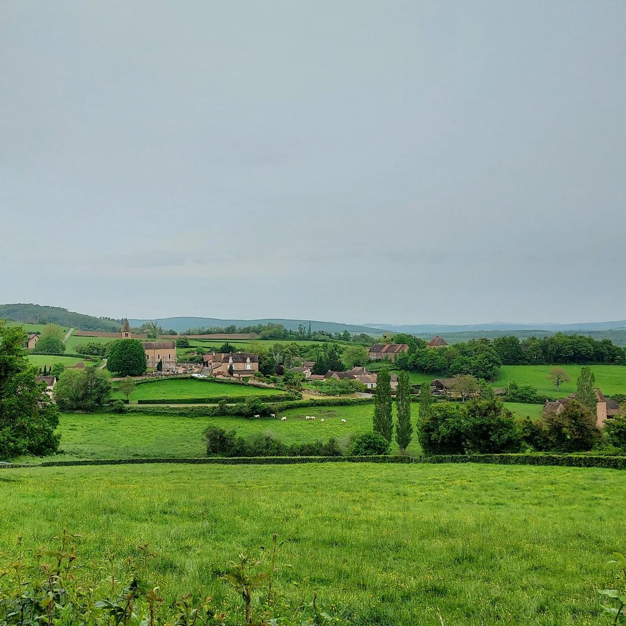
The Roman Catholic Church of St-Gervais-St-Protais in the municipality of Ozenay is an outstanding example of regional medieval architecture. A first church building on this site was already mentioned in documents around the year 950. The current building was largely built in the 12th century in two construction phases by the canons of Chalon. The transept, the choir, and the last bay of the nave (Nef) are the oldest parts and date from the mid-12th century. The first three bays of the nave were added towards the end of the 12th century.
1
0
The Roman Catholic Church of St-Gervais-St-Protais in the municipality of Ozenay is an outstanding example of medieval regional architecture. A first church building on this site was already mentioned in documents around 950. The current building was largely constructed in the 12th century in two phases by the canons of Chalon. The transept, the choir, and the last bay of the nave are the oldest parts and date from the mid-12th century. The first three bays of the nave were added towards the end of the 12th century.
1
0
The Saint-Martin church in Chapaize is a beautiful, old church. Its huge, 35-meter-high tower can be seen from afar. The church was built almost 1000 years ago in the Romanesque style, it has thick stone walls and round arches.
3
0
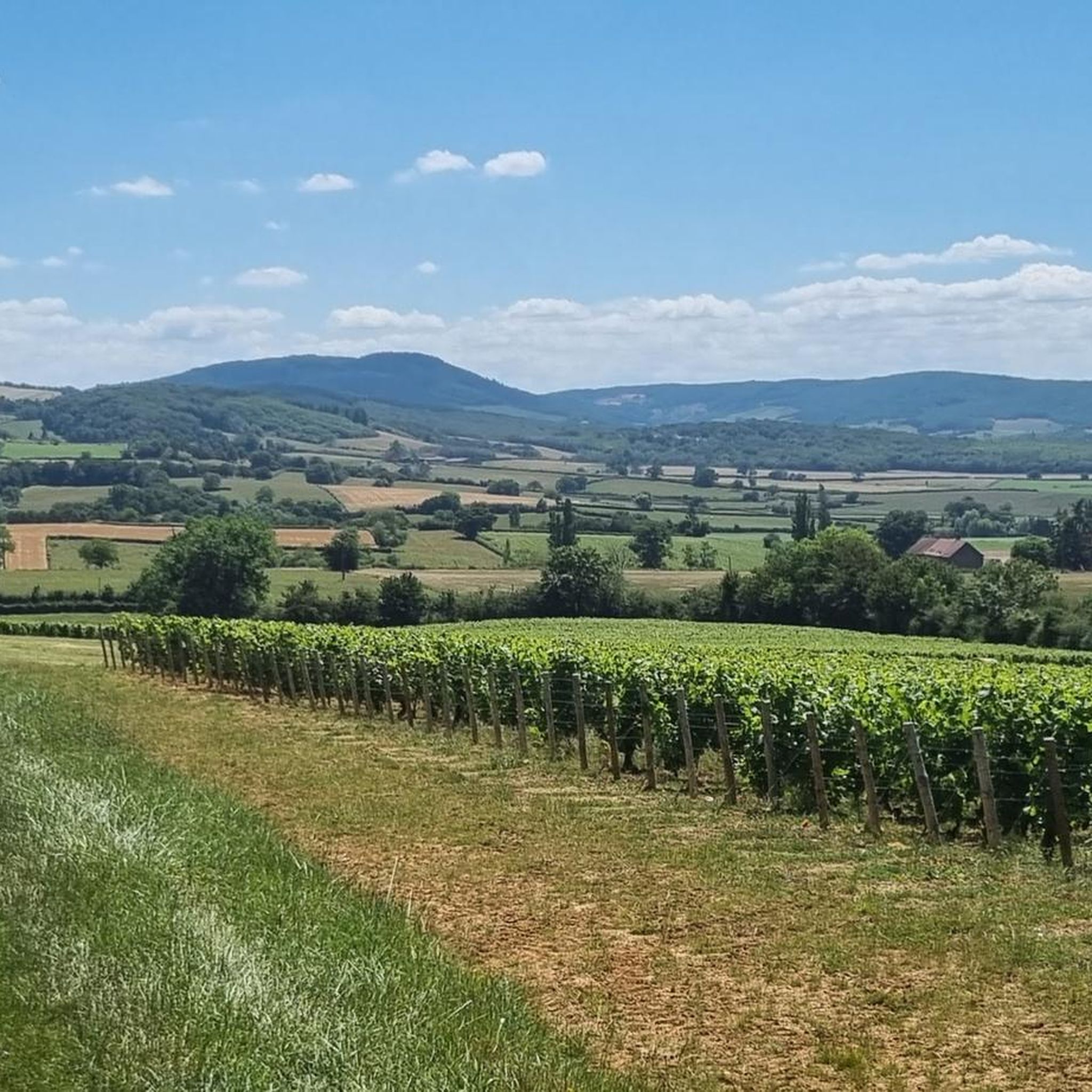
The classic ascent from Mancey is considered a tough short climb in Category 3. Over a distance of 2.2 kilometers, 166 meters of altitude must be overcome. The average gradient is 7.55%, with peak sections of up to 14%. The path junction leads to various hiking trails and gravel paths through the wooded and wine-rich hilly landscape of the Mâconnais.
0
0
The pass is located on Rue des Maquisards in the municipality of Nanton. It is a popular destination for cycling tours. The ascent from the municipality of Mancey covers a distance of 2.2 kilometers. Cyclists overcome 166 meters of altitude on this tough route with an average gradient of 7.55%. The surrounding area also offers a versatile network of trails for easy to medium-difficulty hikes through rolling hills, mixed forests, and to nearby viewpoints such as Roche d'Aujou.
0
0
The striking Romanesque structure dates from the 12th century. The church towers protectively over the valley and houses valuable wall paintings from the late 13th century.
0
0


This small 15th-century castle, built of brick, has not undergone any restoration. In the 18th century, it still had a rectangular enclosure with four towers. Only a main residential building remains between two large square towers topped with high hipped roofs. The larger of the two towers features elegant mullioned windows. Some bays have retained medieval wrought-iron grilles.
0
0
Frequently Asked Questions
What kind of terrain can I expect on road cycling routes around Étrigny?
The region around Étrigny offers a diverse cycling experience, from flat, tranquil paths along the Canal du Centre to rolling hills and challenging ascents through the famed Burgundy vineyards. You'll find a mix of well-paved surfaces suitable for road bikes, with some routes featuring significant elevation gains, particularly in the wine-growing areas.
Are there any easy road cycling routes suitable for beginners or those seeking a relaxed ride?
Yes, Étrigny offers several easier routes. For a more relaxed experience, consider the Lavoir of Bresse-sur-Grosne – Lalheue loop from Étrigny, an easy 30.1 km trail that leads through rural landscapes with gentle gradients. Canal-side paths, such as those along the Canal du Centre, also provide flat and often shaded routes.
Which road cycling routes offer the most challenging climbs around Étrigny?
For cyclists seeking a significant challenge, the region provides routes with notable ascents. The Chapaize Church – View of Royer loop from Étrigny is a difficult 66.4 km route featuring over 1,100 meters of elevation gain, offering demanding climbs and rewarding views.
Can I find circular road cycling routes starting and ending in Étrigny?
Yes, many of the road cycling routes around Étrigny are designed as loops, allowing you to start and finish in the same location. Examples include the Buxy Station – Château de Bourboux loop from Étrigny, a 49.5 km moderate route, and the Col de Navois – Tournus loop from Étrigny, a 35.5 km route with more significant climbs.
What historical landmarks or attractions can I see along the road cycling routes?
The routes around Étrigny often pass through picturesque villages and near historical sites. You might encounter medieval towns like Saint-Gengoux-le-National, or pass by impressive structures such as Cormatin Castle and Brancion Castle. The Chapaize Church – View of Royer loop from Étrigny, for instance, passes near the notable Chapaize Church.
Are there scenic viewpoints or natural features to enjoy while cycling?
Absolutely. The region is renowned for its stunning scenery. Cyclists can immerse themselves in the rolling Burgundy vineyards, which offer captivating views, especially along routes like the 'Voie des Vignes'. The varied terrain also provides panoramic vistas of the surrounding hills and valleys, particularly on routes with higher elevation gains such as the Col de Navois – Tournus loop from Étrigny.
What do other road cyclists say about the routes in Étrigny?
The road cycling routes around Étrigny are highly regarded by the komoot community, holding an average rating of 4.6 stars from over 80 reviews. Cyclists frequently praise the diverse landscapes, from tranquil canal paths to the scenic vineyards, and the variety of routes catering to different fitness levels.
Are there opportunities for cafe stops or refreshments along the cycling routes?
Yes, the region is dotted with charming villages and wine-growing towns. Routes often wind through places like Pommard, Volnay, Meursault, and Santenay, providing ample opportunities for breaks, refreshments, and even wine tasting at local cafés and restaurants. The 'Voie des Vignes' specifically connects many such spots.
What is the best time of year for road cycling in Étrigny?
The spring and autumn months are generally ideal for road cycling in Étrigny. During these seasons, the weather is typically mild, and the landscapes are particularly beautiful, with blooming vineyards in spring and vibrant colors in autumn. Summer can also be pleasant, but it's advisable to start earlier in the day to avoid the midday heat.
Are there any road cycling routes that pass by castles or historic châteaux?
Many routes in the Étrigny area offer glimpses of the region's rich history. For example, the Théâtre de Verdure – Château de Ruffey loop from Étrigny passes by the Château de Ruffey. Other routes may lead you near notable castles such as Sercy Castle or La Serrée Castle, offering picturesque views of these historic structures.
How long are the typical road cycling routes around Étrigny?
The road cycling routes around Étrigny vary significantly in length to suit different preferences. You can find shorter rides, such as the 30.1 km Lavoir of Bresse-sur-Grosne – Lalheue loop from Étrigny, or longer, more challenging excursions like the 66.4 km Chapaize Church – View of Royer loop from Étrigny. Most routes fall within the 30-50 km range.
Most popular attractions around Étrigny

Get inspired with the komoot mobile app


Explore more
Browse the best Road cycling routes in other regions.
