
The best running trails around Saint-Huruge
4.8
(13)
279
runners
48
runs
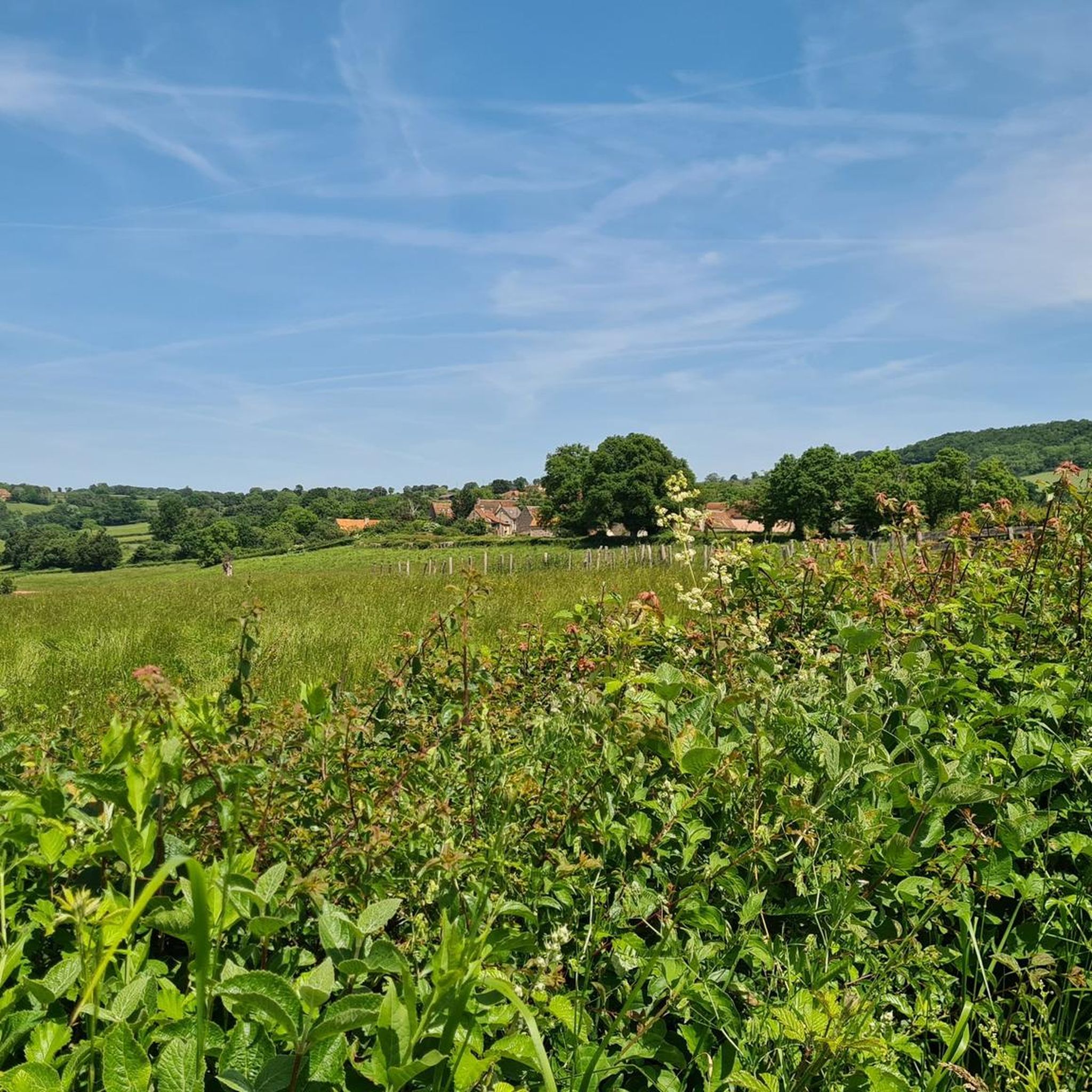
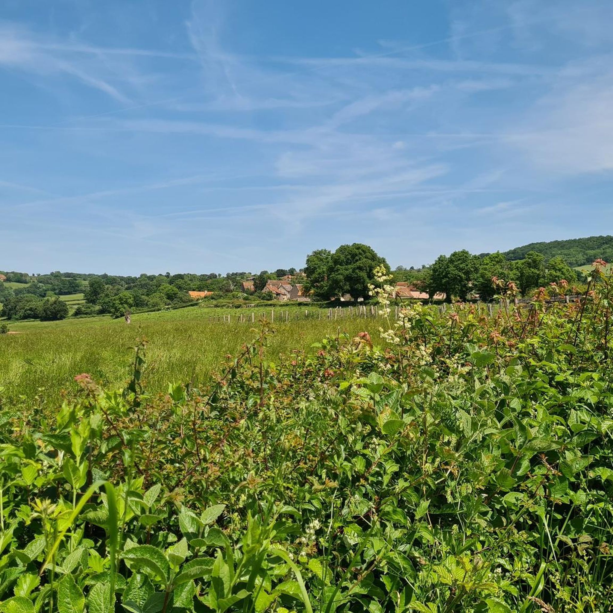
Jogging routes around Saint-Huruge traverse a landscape characterized by rolling hills, woodlands, and agricultural fields. The region features varied terrain, including paths around several étangs (ponds or small lakes) and through rural hamlets. Elevations can be moderate, with some routes featuring significant ascents and descents.
Best jogging routes around Saint-Huruge
- The most popular jogging route is Étang de Serles – Le Bouchot loop from Mary, a difficult 14.0 miles (22.6 km) trail that takes about 2 hours 43 minutes…
Last updated: May 23, 2026
5.0
(1)
7
runners
22.6km
02:43
580m
580m
Hard run. Very good fitness required. Mostly paved surfaces. Suitable for all skill levels.
8
runners
22.7km
02:47
590m
590m
Hard run. Very good fitness required. Mostly paved surfaces. Suitable for all skill levels.

Sign up for free
3
runners
5.80km
00:36
30m
30m
Moderate run. Good fitness required. Mostly paved surfaces. Suitable for all skill levels.
3
runners
9.78km
01:03
120m
120m
Moderate run. Good fitness required. Mostly paved surfaces. Suitable for all skill levels.
3
runners
9.29km
01:03
230m
230m
Moderate run. Good fitness required. Mostly paved surfaces. Suitable for all skill levels.
Get access to more routes and recommendations from other explorers.
Sign up for free
Already have an account?
Our route recommendations are based on thousands of hikes, rides, and runs completed by other people on komoot.
Start today with a free account
Your next adventure awaits.
Login or Signup


Frequently Asked Questions
How many running routes are available around Saint-Huruge?
There are over 40 dedicated running routes around Saint-Huruge, offering a variety of distances and difficulty levels through the region's diverse landscape.
What kind of terrain can I expect on the running trails in Saint-Huruge?
The running routes around Saint-Huruge feature a mix of rolling hills, dense woodlands, and open agricultural fields. You'll also find paths winding around several étangs (ponds or small lakes), with some routes including significant ascents and descents.
Are there any easy or beginner-friendly running paths in Saint-Huruge?
While many routes involve moderate elevation, there are options suitable for beginners. For example, the Running loop from Salornay-sur-Guye is a moderate 3.6-mile (5.8 km) trail that offers a pleasant introduction to the rural landscapes without extreme climbs.
Where can I find longer distance running trails in the area?
For those seeking a challenging long-distance run, Saint-Huruge offers several options. The Étang de Serles – Le Bouchot loop from Mary is a difficult 14.0-mile (22.6 km) trail with substantial elevation gain, providing a demanding experience for experienced runners.
Are there any circular running routes around Saint-Huruge?
Yes, many of the running paths in Saint-Huruge are circular, allowing you to start and finish at the same point. The Étang Guillot – Étang de Laguche loop from Mary is a great example, offering a 14.1-mile (22.7 km) loop through varied natural scenery.
What are some scenic points of interest I might see while running?
The region is dotted with historical and natural sights. You might encounter charming villages, tranquil ponds, and even historical structures. Consider exploring routes that pass near highlights like Château de Gros Chigy or the picturesque Cormatin Castle, which are featured in nearby guides.
Are the running trails in Saint-Huruge suitable for families?
Many of the moderate routes are suitable for families looking for a gentle run or walk. The varied landscape with woodlands and open fields provides an engaging environment. For a shorter, less strenuous option, consider the Running loop from Salornay-sur-Guye.
Can I bring my dog on the running trails?
Generally, dogs are welcome on most public trails in the Saint-Huruge region, especially in rural and woodland areas. However, it's always advisable to keep them on a leash, particularly near agricultural fields or protected natural areas, and to check local signage for any specific restrictions.
What is the best time of year for running in Saint-Huruge?
Spring and autumn offer the most pleasant running conditions with mild temperatures and beautiful scenery, especially when the foliage changes. Summer can be warm, so early morning or late afternoon runs are recommended. Winter running is possible, but some trails might be muddy or slippery after rain or frost.
Are there any running routes that offer views of historical sites?
Yes, several routes provide glimpses of the region's heritage. For instance, the Château de Gros-Chigy loop from Chérizet is a moderate 4.0-mile (6.5 km) route that passes near the historic Château de Gros Chigy, offering a blend of exercise and cultural interest.
What do other runners enjoy most about the trails in Saint-Huruge?
The running routes in Saint-Huruge are highly rated by the komoot community, with an average score of 4.7 stars from over 10 reviews. Runners often praise the tranquil pond-side paths, the challenging ascents through rolling hills, and the overall natural beauty of the varied terrain.
Are there any running routes accessible by public transport?
While many routes start from small villages, public transport options directly to trailheads might be limited. It's recommended to check local bus schedules for connections to larger towns like Mary or Salornay-sur-Guye, from which some routes, such as the Running loop from Chevagny-sur-Guye, are accessible.
Most popular attractions around Saint-Huruge

Get inspired with the komoot mobile app


Explore more
Browse the best Running Trails & Routes in other regions.
