The best running trails around Weisenheim am Sand
3.0
(12)
205
runners
17
runs
Jogging around Weisenheim am Sand offers routes through a landscape characterized by open fields and gentle elevations. The terrain is generally flat or gently rolling, with minimal elevation gain, making it suitable for various running paces. This region provides opportunities for both shorter, easy jogging routes and longer distance running trails.
Best jogging routes around Weisenheim am Sand
- The most popular jogging route is View of Bad Dürkheim loop from Weisenheim (Sand), a 5.4 miles (8.8 km) trail that…
Last updated: July 5, 2026
4.1
(7)
48
runners
5.10km
00:32
10m
10m
Moderate run. Good fitness required. Mostly paved surfaces. Suitable for all skill levels.
9
runners
8.75km
00:54
20m
20m
Moderate run. Good fitness required. Mostly paved surfaces. Suitable for all skill levels.

Sign up for free
9
runners
6.13km
00:39
30m
30m
Moderate run. Good fitness required. Mostly paved surfaces. Suitable for all skill levels.
3
runners
7.32km
00:47
40m
40m
Moderate run. Good fitness required. Mostly paved surfaces. Suitable for all skill levels.
3
runners
Hard run. Very good fitness required. Mostly paved surfaces. Suitable for all skill levels.
Get access to more routes and recommendations from other explorers.
Sign up for free
Already have an account?
Our route recommendations are based on thousands of hikes, rides, and runs completed by other people on komoot.
Start today with a free account
Your next adventure awaits.
Login or Signup

Tips from the Community

Excellent cycle path to get from the Rhine plain to the Haardt edge
1
0

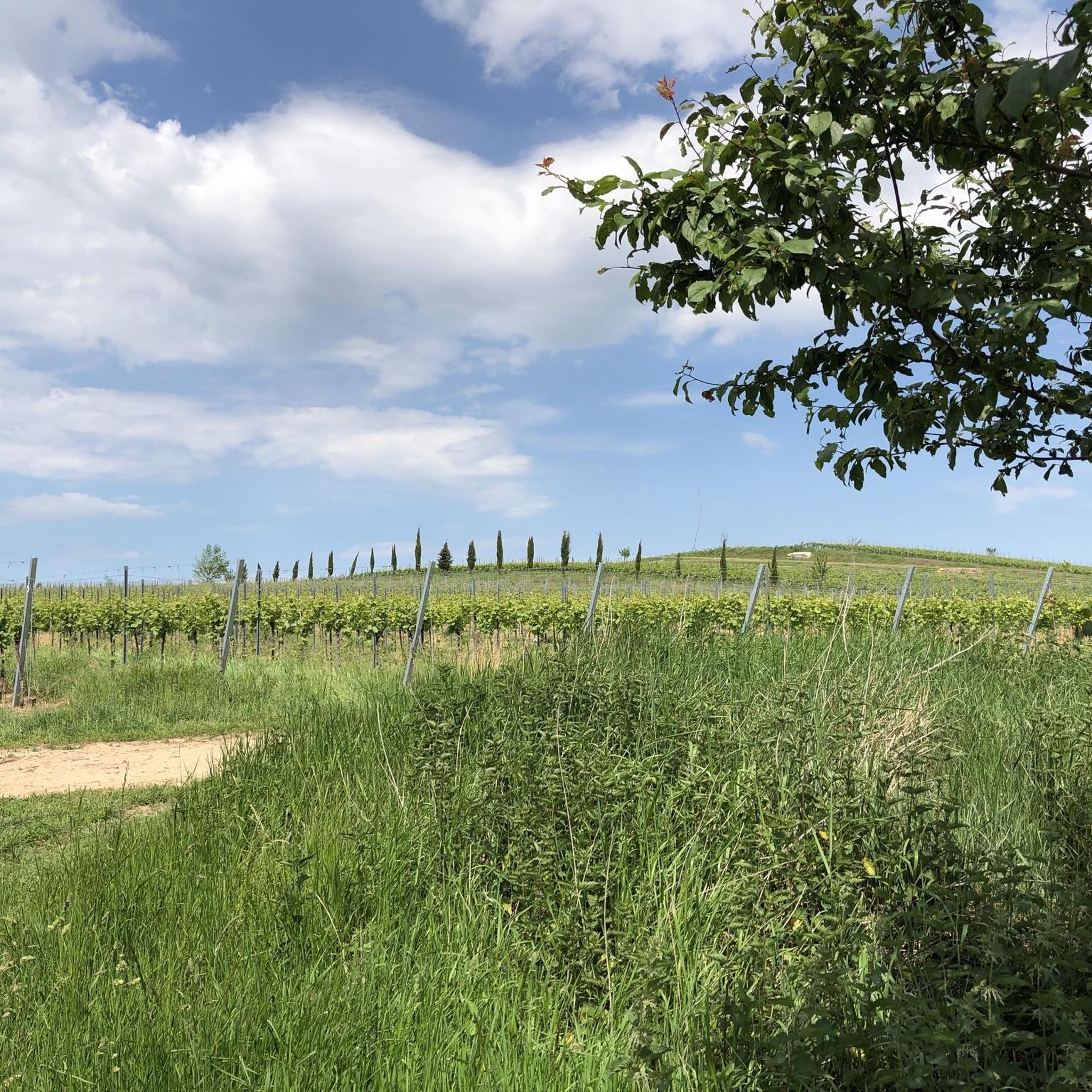
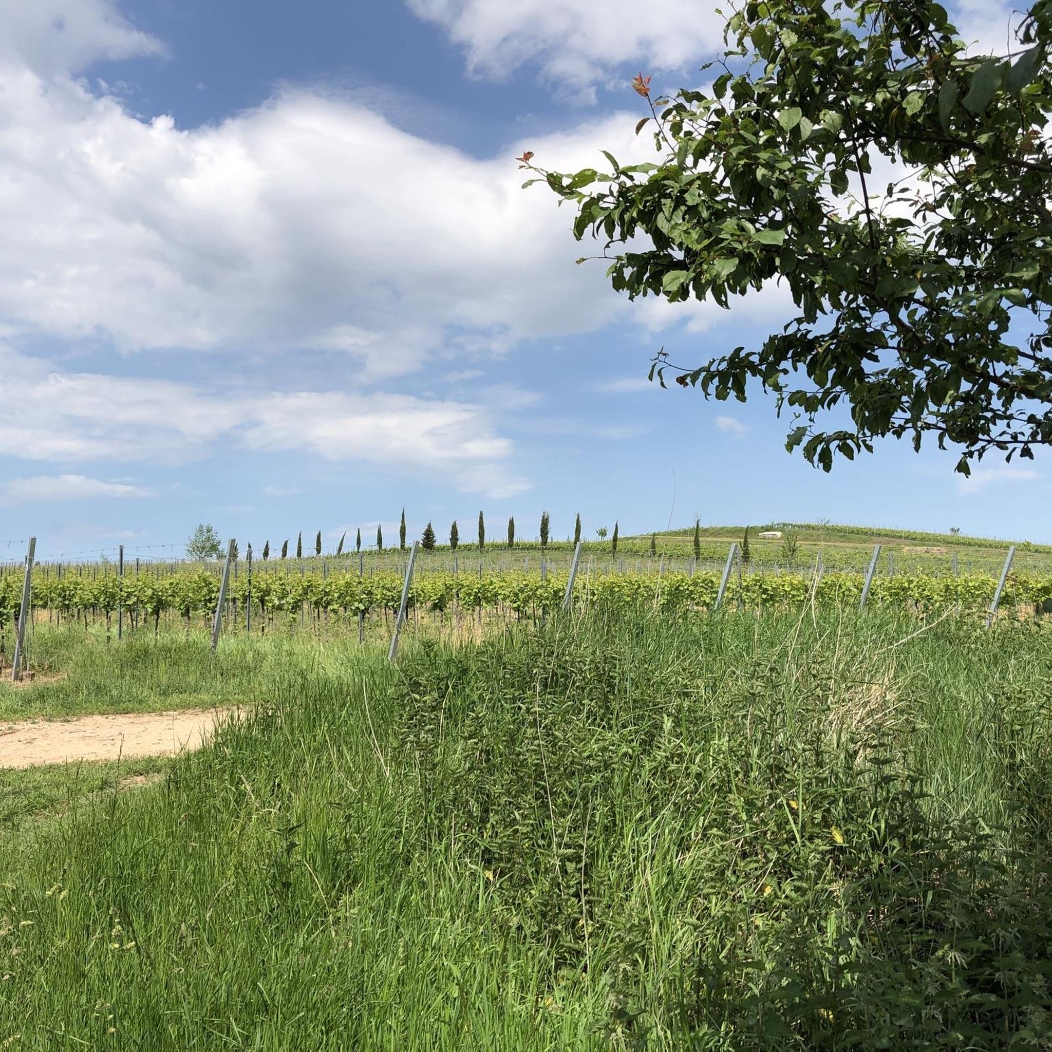
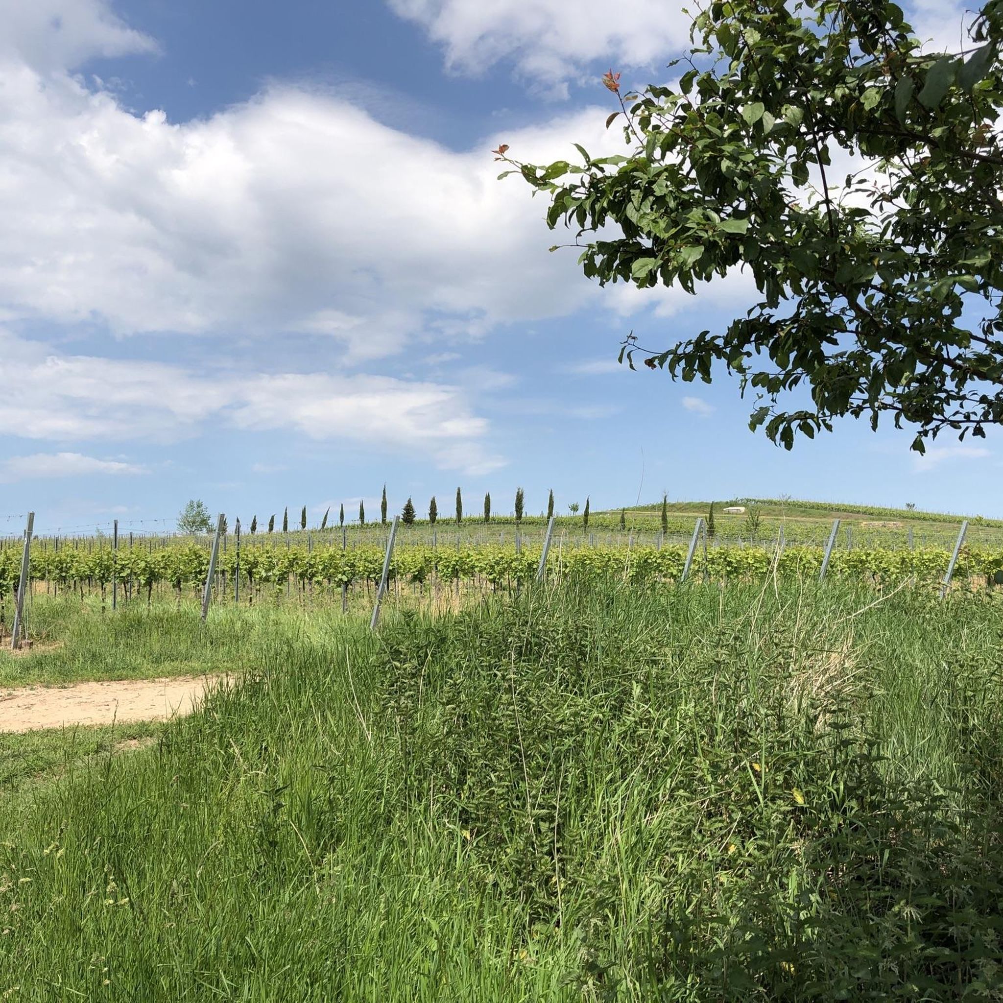
Beautiful path through meadows and forest.
0
0
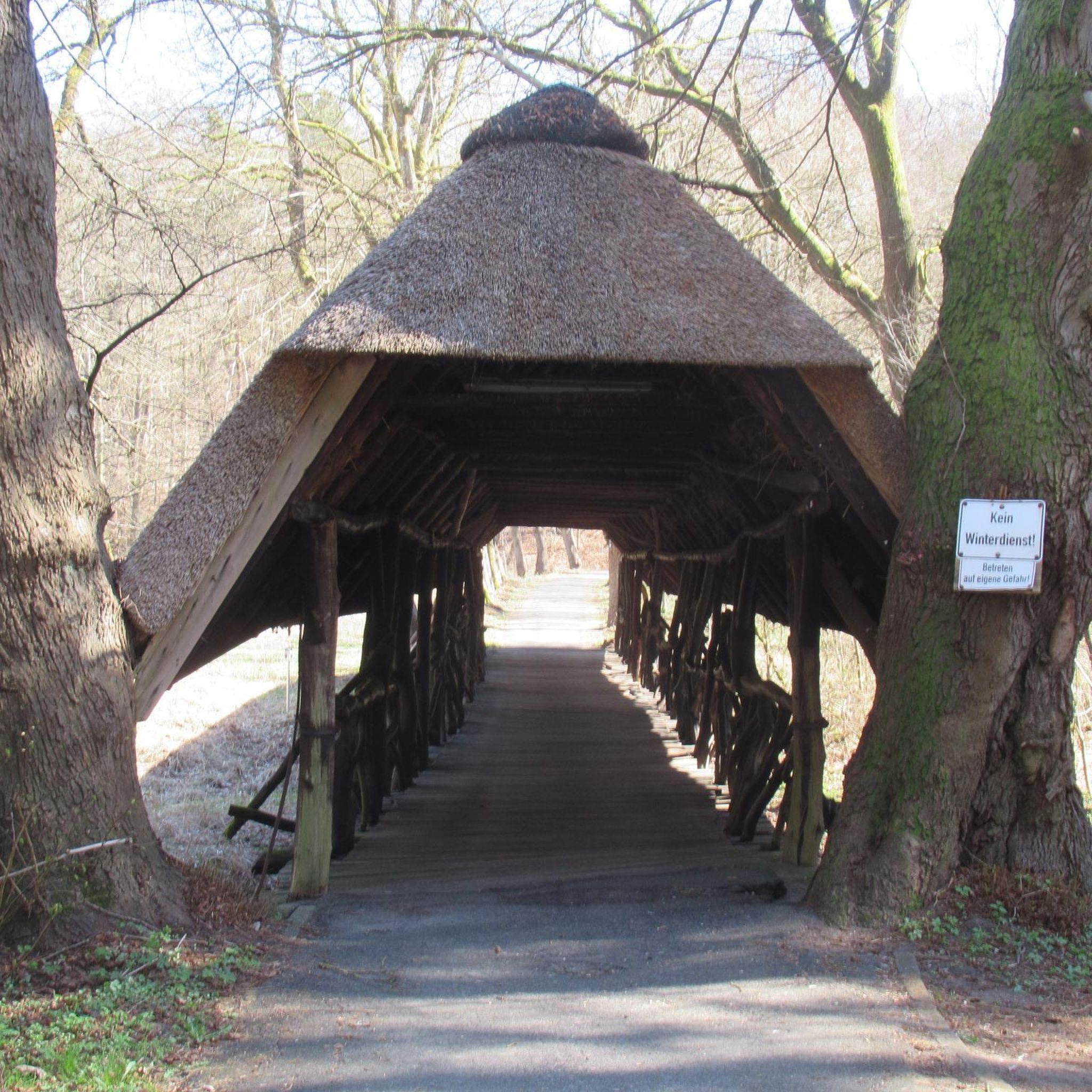
Small rest area with table and benches.
0
0

The Thieves' Tower was originally a tower with a rectangular floor plan that was open to the city side. From the 19th century onwards it was used to keep thieves, field and forest offenders safe. About half of the tower protrudes beyond the line of the wall. In the upper area it has a crenellated storey. Inside, it houses a preserved barrel vault on the second floor. Source: https://www.pfalz.de/de/gehenswuerdigkeit/freinsheim-diebesturm
1
0
Unfortunately, it is currently completely scaffolded and covered up.
1
1

Until the 19th century, Freinsheim had two entrances, the Eisentor in the northeast of the city and the Haintor in the southwest. The name Haintor probably comes from its orientation towards a small chestnut grove just outside Freinsheim. The gate complex, built in the 15th century, originally included a front gate with a kennel and two towers, but these were demolished in the 19th century because they were in disrepair. The tower rises 15 m and had one more storey before the War of the Palatinate Succession. A trap gate, which is not functional today and is only installed for decoration, was in earlier times an important part of protecting the residents at night and from possible attacks. Sometimes there was panic at the end of the gate when you didn't get back from your evening trip in time and the gates were already closed. We still know the expression from this event today, but it is seen more in the sense of the fear of not getting to know the partner you want in time. If you leave the city through the Haintor to the west, you have a view of the Bismarck Tower and the almost 500 m high Peterskopf in the Palatinate Forest. Not far from there is the “Lindemannsruh”, a restaurant that was named after the former head forester Lindemann. We have him to thank for the fact that the chestnuts, which the Romans brought to this region, are still available in such impressive numbers today.
1
0
Now at least this signpost has managed to become a cultural monument. But whether it's really worth seeing is up to each individual.
0
0

Eye-catching due to the red color and really offers a nice place to rest.
0
0
Frequently Asked Questions
How many running routes are available around Weisenheim am Sand?
There are over 10 running routes available around Weisenheim am Sand, offering a variety of options for different preferences and fitness levels. The komoot community has contributed 14 routes in total, with 12 rated as moderate and 2 as difficult.
Are there any easy running trails suitable for beginners in Weisenheim am Sand?
The terrain around Weisenheim am Sand is generally flat or gently rolling with minimal elevation gain, making many routes suitable for beginners. While most routes are rated moderate, their gentle nature means they can be enjoyed at an easier pace. For example, the Scenic Rest Area loop from Freinsheim is a moderate 3.8 miles (6.1 km) path that offers open terrain and designated rest areas, perfect for a relaxed run.
What are some longer distance running trails in the area?
For those looking for a longer run, the Haintor Tower, Freinsheim – Diebesturm Freinsheim loop from Weisenheim (Sand) is a challenging 12.0 miles (19.3 km) route. Another option is the Scenic Rest Area loop from Weisenheim (Sand), which covers 7.0 miles (11.3 km) and is rated as moderate.
Are there any running routes with scenic viewpoints in Weisenheim am Sand?
Yes, many running routes in Weisenheim am Sand offer scenic views. The popular View of Bad Dürkheim loop from Weisenheim (Sand) provides open vistas of the surrounding area. Additionally, the region's open fields and gentle elevations naturally offer expansive views. You might also enjoy the Eckkopf Observation Tower, which is a notable viewpoint in the broader area.
Can I find circular running routes in Weisenheim am Sand?
Absolutely. Most of the running routes around Weisenheim am Sand are designed as loops, allowing you to start and finish at the same point. Examples include the popular View of Bad Dürkheim loop from Weisenheim (Sand) and the Diebesturm Freinsheim – Eisentor Freinsheim loop from Weisenheim (Sand).
What kind of landmarks or attractions can I see along the running routes?
The routes often pass through areas with historic significance. For instance, the Diebesturm Freinsheim – Eisentor Freinsheim loop from Weisenheim (Sand) leads through areas with historic landmarks. In the wider region, you can find highlights like the Weinbiet Summit and Weinbiethaus or the Ungeheuersee (lake).
Are there any dog-friendly running trails in Weisenheim am Sand?
The open fields and natural paths around Weisenheim am Sand are generally welcoming for runners with dogs. While specific 'dog-friendly' designations aren't always present, the rural character of the region means many trails are suitable for a run with your canine companion, provided they are kept under control and local regulations are followed.
What do other runners say about the trails in Weisenheim am Sand?
The running routes in Weisenheim am Sand are highly rated by the komoot community, with an average score of 4.0 stars from more than 10 reviews. Runners often praise the open views, the generally flat and gently rolling terrain, and the variety of options for different distances and paces.
Are there any advanced running routes for experienced runners?
Yes, for more experienced runners seeking a challenge, there are routes rated as difficult. The Haintor Tower, Freinsheim – Diebesturm Freinsheim loop from Weisenheim (Sand) is a difficult 12.0 miles (19.3 km) trail with a total elevation gain of 65 meters, offering a more demanding experience.
Is Weisenheim am Sand suitable for family-friendly jogging?
The generally flat and gently rolling terrain with minimal elevation gain makes many of the routes around Weisenheim am Sand suitable for families. Shorter, moderate paths like the Scenic Rest Area loop from Freinsheim are good options for a family run or walk, offering open spaces and designated rest areas.
What is the best time of year for running in Weisenheim am Sand?
Weisenheim am Sand is enjoyable for running throughout much of the year. Spring and autumn offer pleasant temperatures and beautiful scenery as the vineyards change color. Summer can be warm, but early mornings or late evenings are ideal. Winter running is also possible, with the open landscape providing clear paths, though conditions may vary.
Most popular routes around Weisenheim am Sand
Most popular attractions around Weisenheim am Sand

Get inspired with the komoot mobile app


Explore more
Browse the best Running Trails & Routes in other regions.
