The best walks and hikes around Bouillancourt-La-Bataille
4.7
(12)
78
hikers
24
hikes
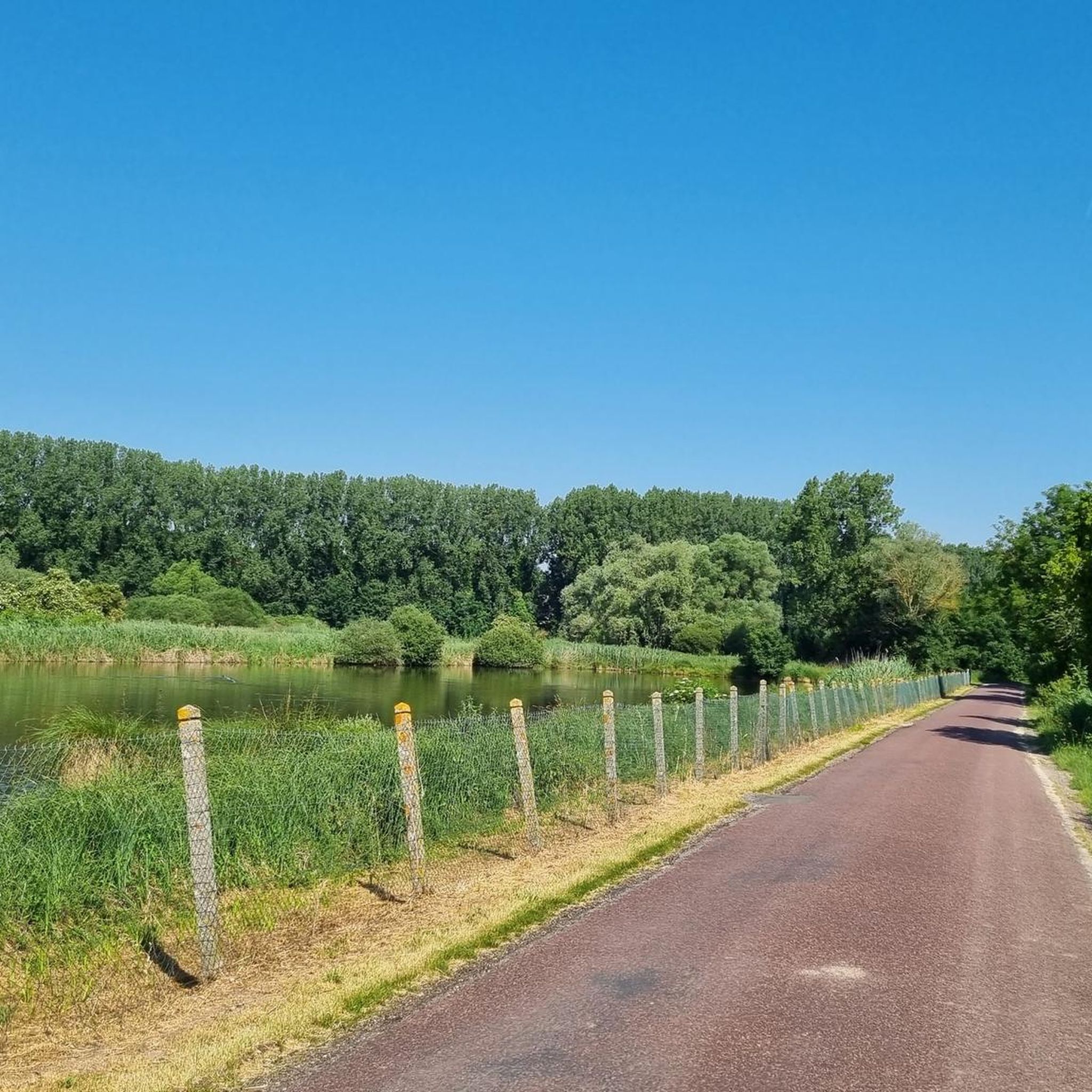
Hiking around Bouillancourt-La-Bataille offers access to various trails and natural landscapes within the Somme region of France. The area features a network of paths suitable for exploring the countryside. Landscapes range from tranquil marshlands to varied terrain, with rivers and canals supporting water-based activities. The region also includes natural sites and forested areas, providing diverse environments for outdoor pursuits.
Best hiking trails around Bouillancourt-La-Bataille
- The most popular hiking route is Davenescourt Castle loop from Davenescourt, a 6.5 miles (10.5…
Last updated: July 13, 2026
4.5
(2)
13
hikers
10.5km
02:45
90m
90m
Moderate hike. Good fitness required. Easily-accessible paths. Suitable for all skill levels.
4.5
(2)
6
hikers
8.74km
02:17
70m
70m
Moderate hike. Good fitness required. Easily-accessible paths. Suitable for all skill levels.

Sign up for free
5.0
(2)
6
hikers
7.03km
01:52
70m
70m
Easy hike. Great for any fitness level. Easily-accessible paths. Suitable for all skill levels.
4
hikers
9.90km
02:37
90m
90m
Moderate hike. Good fitness required. Easily-accessible paths. Suitable for all skill levels.
4
hikers
8.28km
02:14
100m
100m
Moderate hike. Good fitness required. Easily-accessible paths. Suitable for all skill levels.
Get access to more routes and recommendations from other explorers.
Sign up for free
Already have an account?
Our route recommendations are based on thousands of hikes, rides, and runs completed by other people on komoot.
Start today with a free account
Your next adventure awaits.
Login or Signup



Frequently Asked Questions
How many hiking trails are available around Bouillancourt-La-Bataille?
There are over 20 hiking trails listed around Bouillancourt-La-Bataille on komoot, offering a variety of options for exploring the local countryside and natural landscapes of the Somme region.
Are there easy hiking options suitable for beginners or families?
Yes, the area offers a good selection of easy trails. Out of the 25 routes available, 11 are classified as easy, making them suitable for beginners or families looking for a relaxed walk. These paths often traverse gentle countryside and offer pleasant scenery.
What kind of landscapes can I expect to see on the trails?
Hiking around Bouillancourt-La-Bataille provides diverse landscapes. You can expect to encounter tranquil marshlands, varied countryside terrain, and beautiful forested areas. Many paths also follow rivers and canals, offering scenic water-based views.
Are there any circular walks available?
Yes, many of the trails around Bouillancourt-La-Bataille are circular, allowing you to start and end your hike at the same point. For example, the Davenescourt Castle loop from Davenescourt is a popular circular route exploring local countryside and historical sites.
What are some notable natural features or attractions to look out for?
While specific detailed natural features within Bouillancourt-La-Bataille are not extensively outlined, the broader Somme region is known for its natural sites like the Bouvaque marsh, which is excellent for observing local flora and fauna. You might also encounter historical elements such as the Château de Bouillancourt-en-Séry in the wider area, which adds a cultural dimension to the landscape.
What do other hikers enjoy most about the trails in this region?
The trails in Bouillancourt-La-Bataille are highly rated by the komoot community, with an average score of 5.0 stars from over 7 reviews. Hikers often praise the varied countryside, the presence of natural waterways, and the peaceful forested areas that define the region's routes.
Are there any trails that feature water elements like rivers or canals?
Yes, the Somme Valley features rivers and canals, and some hiking paths incorporate these water elements. For instance, the Wooden bridge loop from Fignières features varied scenery, including a wooden bridge and local waterways, offering a pleasant experience by the water.
Is it possible to find trails through forested areas?
Absolutely. The region is characterized by natural sites and forested areas. The Mont de Forestel loop from Montdidier is a good example, leading through countryside hills and forested sections, providing a refreshing woodland experience.
What is the best time of year to go hiking in Bouillancourt-La-Bataille?
The Somme region is generally pleasant for hiking from spring through autumn, when the weather is milder and the natural landscapes are in full bloom or displaying vibrant fall colors. While winter hikes are possible, some paths might be muddy, so appropriate footwear is recommended.
Are there any longer, more challenging routes for experienced hikers?
While there are no routes classified as 'difficult' in the immediate area, there are 14 moderate trails that offer a good challenge for experienced hikers. These routes often cover longer distances and include more elevation changes. For example, the Ruins of the Cemetery Chapel loop from Lignières is a moderate 11.1 km (6.9 miles) trail.
Where can I find more information about hiking in the wider Somme region?
For additional information and resources about walking and hiking in the broader Somme department, you can visit the official tourism websites. Check out Somme Tourisme or Tourisme Baie de Somme for more ideas and detailed itineraries.
Most popular routes around Bouillancourt-La-Bataille

Get inspired with the komoot mobile app


Explore more
Browse the best Hikes in other regions.
