The best road cycling routes around Chaulnes
4.7
(10)
465
riders
41
rides
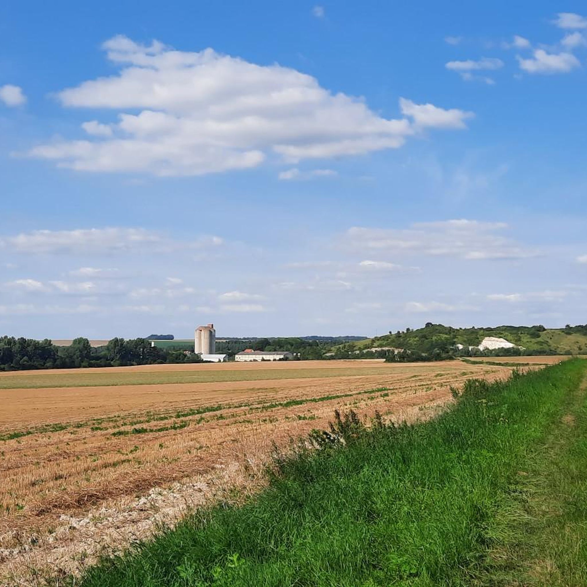
Road cycling routes around Chaulnes offer accessible terrain across serene rural landscapes and agricultural areas in the Somme department of France. The region is characterized by the Somme Canal and the meanders of the Somme River, providing tranquil, often flat routes. Riders can expect varied elevation gains, with some routes featuring gentle hills and others presenting more sustained climbs. The network also includes greenways and paths through forested areas, offering diverse cycling environments.
Best road cycling routes around Chaulnes
- The…
Last updated: May 18, 2026
8
riders
117km
04:58
520m
520m
Moderate road ride. Good fitness required. Mostly well-paved surfaces and easy to ride.
2
riders
64.4km
02:33
190m
190m
Moderate road ride. Good fitness required. Mostly well-paved surfaces and easy to ride.

Sign up for free
3
riders
44.3km
01:45
130m
130m
Easy road ride. Great for any fitness level. Mostly well-paved surfaces and easy to ride.
5.0
(1)
5
riders
33.7km
01:26
160m
160m
Easy road ride. Great for any fitness level. Mostly well-paved surfaces and easy to ride.
5.0
(1)
3
riders
48.3km
02:06
290m
290m
Moderate road ride. Good fitness required. Mostly well-paved surfaces and easy to ride.
Get access to more routes and recommendations from other explorers.
Sign up for free
Already have an account?
Our route recommendations are based on thousands of hikes, rides, and runs completed by other people on komoot.
Start today with a free account
Your next adventure awaits.
Login or Signup




Tips from the Community


Whether on the Somme or on the canals: driving on the water is always pleasant. Water-rich area...
1
0

The only place where you can eat or drink for miles around. Located on the edge of the V30, filling your water bottles and recharging all kinds of batteries is free. Culinarily, Pakistani flavors make you want to come back. And the icing on the semolina cake, everything is homemade. Finally, the operators are at the top of sympathy.
3
0


A nice little castle that deserves a short stop!
0
0

The contrast is striking on this stretch of road which runs along the Somme, here transformed into a canal. In 2018 it was a grassy path. Today this comfortable macadam has replaced the jolts of the track.
3
0
The creation of this cycle route is quite recent. The bitumen coating dates from 2019. Until that date, to make these 200 kilometers of journey, it was largely necessary to travel them on towpaths along the river. This allows for greater accessibility.
4
0

Beautiful garden restaurant with friendly owners
1
2
Frequently Asked Questions
What kind of terrain can I expect on road cycling routes around Chaulnes?
The Chaulnes region, located in the Somme department, offers generally accessible terrain with well-paved surfaces. You'll find a mix of serene rural landscapes and agricultural areas. While many routes feature gentle hills, some present more sustained climbs, providing varied elevation gains. The nearby Canal du Nord also offers opportunities for scenic, flatter rides along its banks.
Are there road cycling routes suitable for beginners or those looking for an easy ride?
Yes, Chaulnes has several options for easier road cycling. Out of the 31 routes available, 9 are classified as easy. An example is the Roadbike loop from Chaulnes, which covers about 50 km with a modest elevation gain, making it suitable for less experienced riders or those seeking a relaxed outing.
What are some of the longer, more challenging road cycling routes in the area?
For those seeking a greater challenge, Chaulnes offers longer routes with more significant distances and elevation. The Ham Castle – Tower of the Château de Ham loop from Chaulnes is a moderate 117 km route with over 500 meters of elevation gain. Another option is the Lanchy-Tertry Gravel loop from Chaulnes, a 105 km ride with around 460 meters of climbing, which also features a mix of road conditions.
Can I find circular road cycling routes around Chaulnes?
Yes, many of the road cycling routes around Chaulnes are designed as loops, allowing you to start and finish in the same location. Examples include the Les aulnes loop from Chaulnes, a 66.5 km ride through rural landscapes, and the Bois Barbier – Bois des boeufs loop from Chaulnes, which is about 58 km long.
Are there any historical sites or landmarks I can see while road cycling near Chaulnes?
Yes, the region offers opportunities to combine cycling with exploring historical sites. The Ham Castle – Tower of the Château de Ham loop from Chaulnes specifically passes by Ham Castle. Additionally, the broader vicinity includes the Château d'Happlincourt, which can be incorporated into your rides.
What natural features or scenic viewpoints can I expect on the routes?
The road cycling routes often traverse serene rural landscapes and agricultural areas. A significant natural feature nearby is the Canal du Nord, a 95 km long canal that offers tranquil and scenic riding opportunities along its banks. You'll also encounter preserved green spaces like Bois Barbier and Bois des Boeufs, providing pleasant views of the French countryside.
What do other road cyclists say about the routes in Chaulnes?
The road cycling routes in Chaulnes are highly regarded by the komoot community, holding an average rating of 4.7 out of 5 stars. Over 200 road cyclists have used komoot to explore the varied terrain, often praising the rural setting and the diverse options for different ability levels.
Is there parking available for cyclists in Chaulnes?
While specific dedicated cyclist parking areas are not detailed, Chaulnes is a commune with general parking facilities. As a starting point for many routes, you can typically find parking within the town or at the beginning of popular loops, allowing you to easily access the cycling network.
What is the best time of year for road cycling in Chaulnes?
The region's climate generally makes spring through early autumn ideal for road cycling. During these seasons, you can expect more favorable weather conditions, with less chance of rain and more comfortable temperatures for longer rides. It's always advisable to check local weather forecasts before heading out.
Are there any places to stop for refreshments or food along the road cycling routes?
While the routes primarily traverse rural landscapes, Chaulnes itself offers amenities such as cafes and restaurants where you can refuel. For example, Pizza Tasty is listed as a highlight in the area. Planning your route to pass through villages or back into Chaulnes will provide opportunities for refreshment stops.
How many road cycling routes are there in total around Chaulnes?
There are 31 road cycling routes available around Chaulnes, catering to various fitness levels. This includes 9 easy routes, 21 moderate routes, and 1 difficult route, ensuring options for every type of road cyclist.
Most popular attractions around Chaulnes

Get inspired with the komoot mobile app


Explore more
Browse the best Road cycling routes in other regions.
