
The best running trails around Laboissière-En-Santerre
4.6
(9)
393
runners
64
runs
Jogging routes around Laboissière-En-Santerre traverse a tranquil rural landscape in France's Somme department. The region features a gentle topography with elevations ranging from 66 to 107 meters, offering varied terrain for running. Routes often follow quiet country roads, agricultural tracks, and paths through a mosaic of grasslands and crops. The presence of wooded areas, such as the Bois de Laboissière, provides natural, shaded trails for runners.
Best jogging routes around Laboissière-En-Santerre
- The most popular jogging route is Running loop from…
Last updated: July 13, 2026
5.0
(1)
6
runners
8.10km
00:50
20m
20m
Moderate run. Good fitness required. Mostly paved surfaces. Suitable for all skill levels.
5
runners
7.08km
00:44
30m
30m
Moderate run. Good fitness required. Mostly paved surfaces. Suitable for all skill levels.

Sign up for free
5.0
(1)
4
runners
10.1km
01:02
20m
20m
Moderate run. Good fitness required. Mostly paved surfaces. Suitable for all skill levels.
5
runners
8.57km
00:55
100m
100m
Moderate run. Good fitness required. Mostly paved surfaces. Suitable for all skill levels.
4
runners
15.8km
01:41
70m
70m
Hard run. Very good fitness required. Mostly paved surfaces. Suitable for all skill levels.
Get access to more routes and recommendations from other explorers.
Sign up for free
Already have an account?
Our route recommendations are based on thousands of hikes, rides, and runs completed by other people on komoot.
Start today with a free account
Your next adventure awaits.
Login or Signup


Frequently Asked Questions
How many running routes are available around Laboissière-En-Santerre?
There are over 60 running routes around Laboissière-En-Santerre, offering a wide variety of options for different preferences and fitness levels. The komoot community has recorded 69 tours in total.
What kind of terrain and difficulty can I expect on the running trails?
The running trails in Laboissière-En-Santerre feature a gentle topography, with elevations ranging from 66 to 107 meters. This means you'll find both relatively flat routes and gentle inclines, providing a subtle challenge without being overly strenuous. Most routes are classified as moderate, with 56 moderate, 10 difficult, and 3 easy options available.
What natural features or landscapes will I encounter while jogging in Laboissière-En-Santerre?
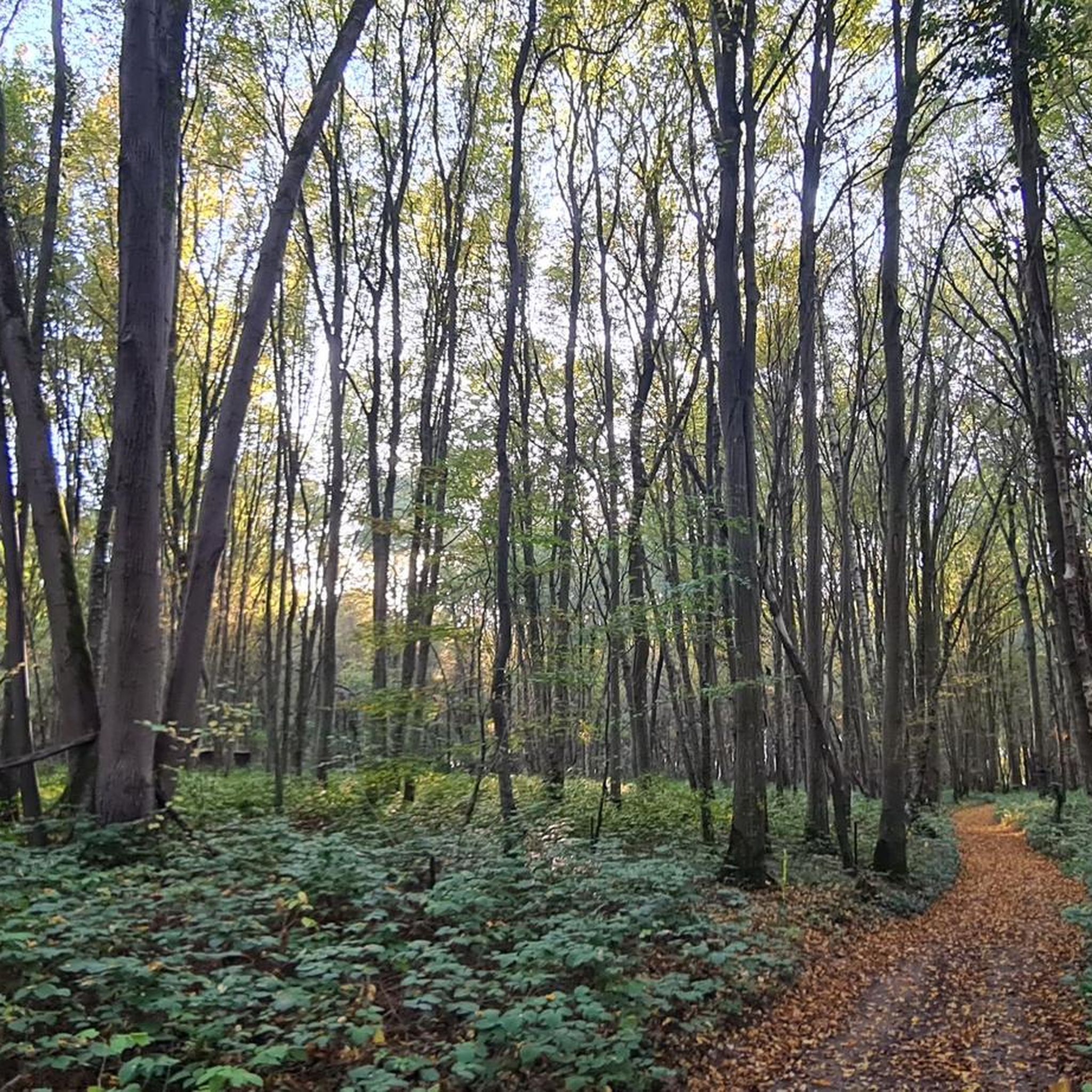
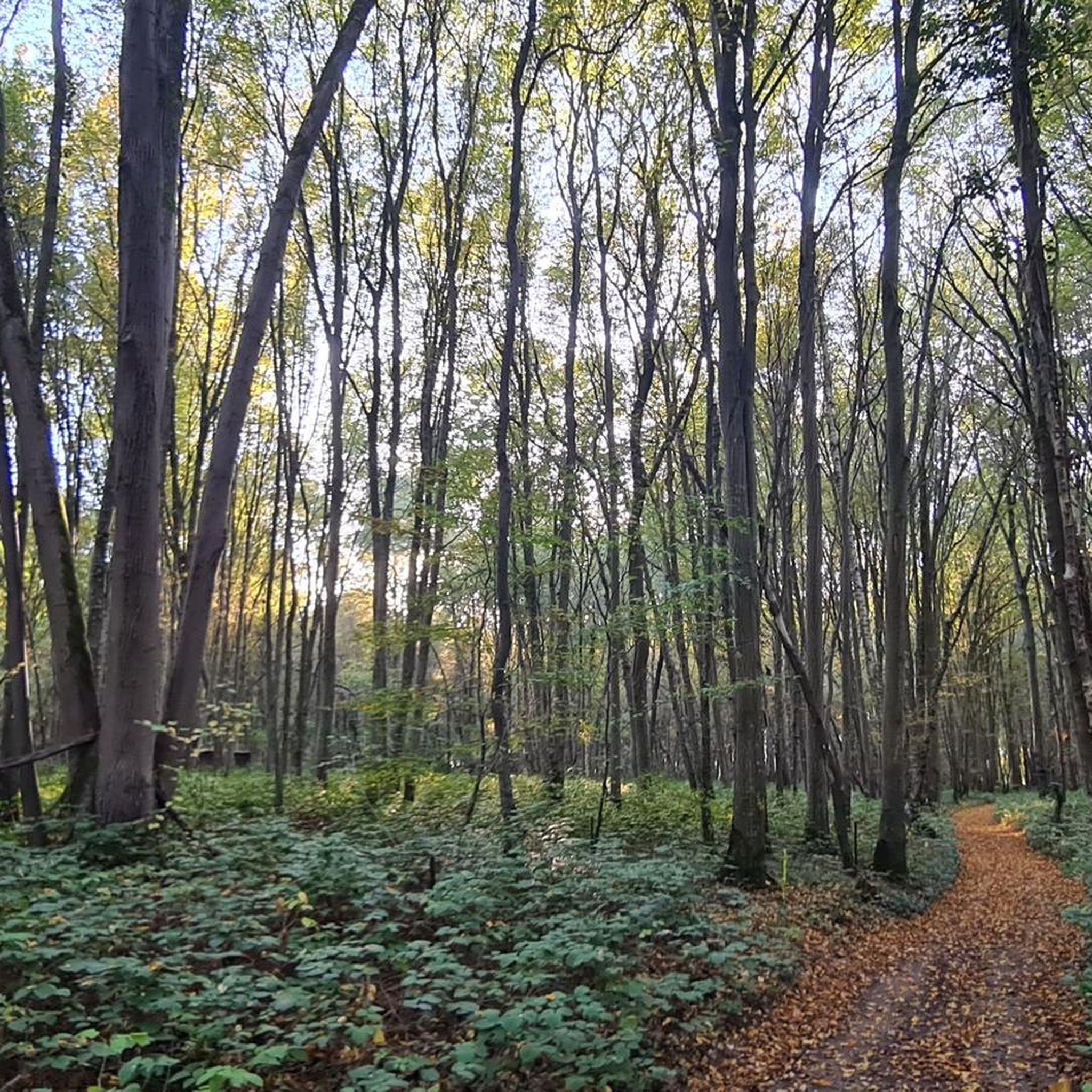
You'll experience a tranquil rural landscape characterized by quiet country roads, agricultural tracks, and paths winding through a mosaic of grasslands and crops. The area also features wooded sections, such as the Bois de Laboissière, which offer natural, shaded trails. You might even discover the route of the 'Balade Indice de Biodiversité Potentielle', designed to showcase local flora and fauna.
Are there family-friendly running paths in the area?
Yes, the gentle topography and network of quiet country roads and agricultural tracks make many routes suitable for families. While specific 'family-friendly' designations aren't always present, routes with lower elevation changes and shorter distances, such as some of the easy graded tours, would be ideal for a family run.
Can I bring my dog on the running trails?
Given the rural character and extensive network of quiet country roads and paths, many running routes in Laboissière-En-Santerre are suitable for jogging with dogs. Always ensure your dog is under control, especially near agricultural areas or livestock, and check for any local regulations regarding pets on trails.
Are there many circular running routes available?
Yes, many of the running routes in the region are designed as loops, allowing you to start and finish at the same point. Examples include the popular Running loop from Montdidier and the Running loop from Marquivillers, which are favorites among local runners.
What do other runners enjoy the most about jogging in Laboissière-En-Santerre?
The area is highly rated by the komoot community, with an average score of 4.6 stars from 8 reviews. Runners often praise the peaceful rural setting, the varied terrain that offers both flat sections and gentle inclines, and the opportunity to explore the natural beauty of the Santerre region away from heavy traffic.
Are there any specific landmarks or points of interest along the running routes?
While the region is primarily known for its natural and agricultural landscapes, the 'Balade Indice de Biodiversité Potentielle' starting from the Church of Saint-Fiacre in Laboissière-en-Santerre highlights local natural points of interest. The routes themselves offer scenic views of grasslands, crops, and wooded areas like the Bois de Laboissière, providing a picturesque backdrop for your run.
Is there parking available near the running trailheads?
As a rural commune, parking is generally accessible in and around villages and near common starting points for outdoor activities. While specific parking lots for each trailhead are not always designated, you can typically find suitable parking in village centers or along quiet country roads, respecting local signage.
What is the best time of year for running in Laboissière-En-Santerre?
The gentle topography and rural setting make Laboissière-En-Santerre suitable for running throughout much of the year. Spring and autumn offer pleasant temperatures and vibrant scenery, while summer provides longer daylight hours, though some wooded trails like those in the Bois de Laboissière can offer welcome shade. Winter runs are also possible, but be mindful of potentially muddy agricultural tracks.
Are there any longer running routes for endurance training?
Yes, for those looking for longer runs, routes like the Running loop from Guerbigny covers 6.2 miles (10.0 km), and the Running loop from Ételfay is 10.1 km. These routes provide ample distance for endurance training through the undulating rural terrain.
How well-maintained are the paths for running?
The routes primarily utilize quiet country roads and agricultural tracks. While these are generally well-maintained for local use, conditions can vary with weather, especially on unpaved sections. The presence of designated cycling routes in the broader Santerre region suggests a landscape conducive to movement, often with well-kept paths that can be adapted for running.
Most popular routes around Laboissière-En-Santerre

Get inspired with the komoot mobile app


Explore more
Browse the best Running Trails & Routes in other regions.
