The best running trails around Haut-Valromey
4.2
(25)
1,426
runners
20
runs
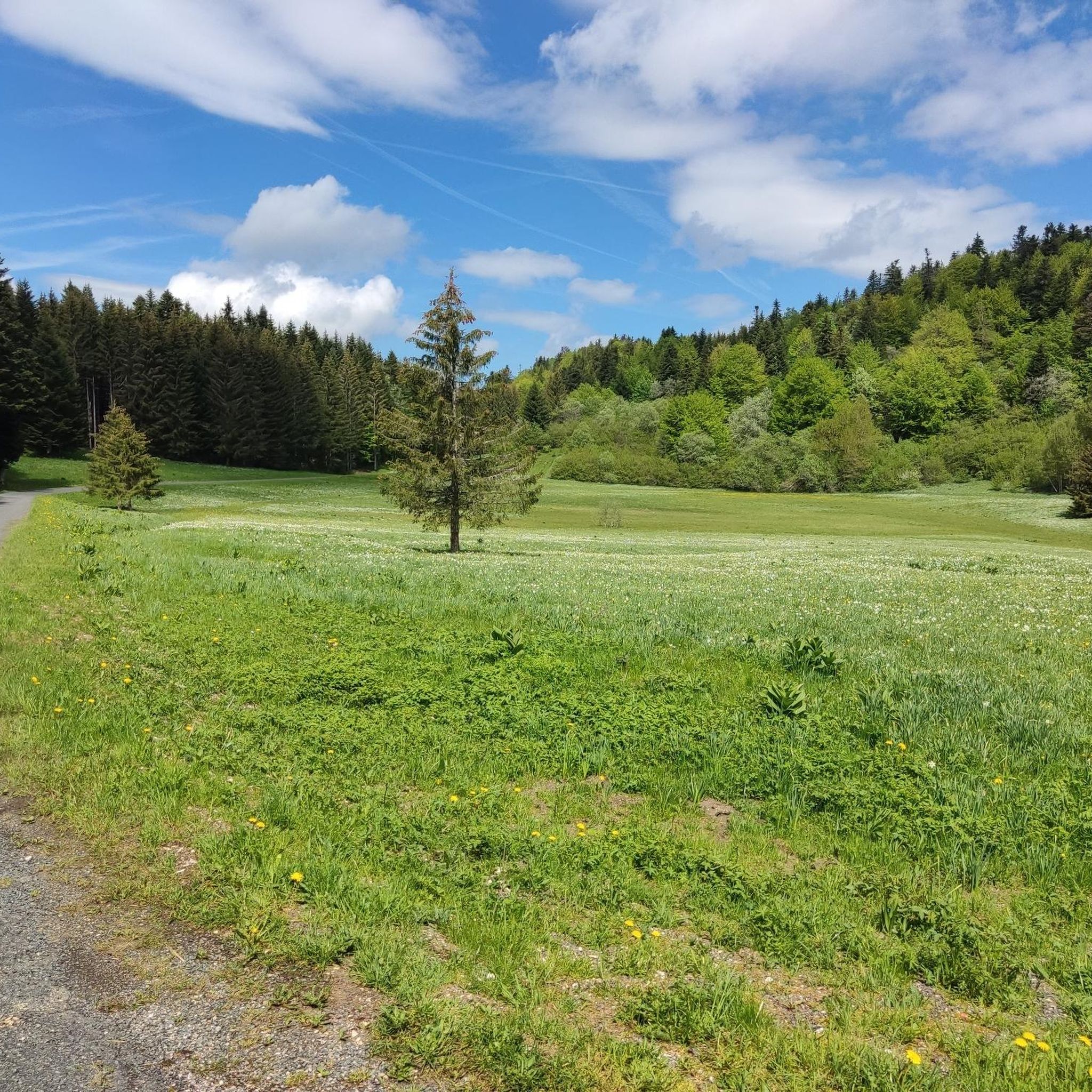
Jogging routes around Haut-Valromey traverse a diverse landscape characterized by the Plateau de Retord, featuring mountain terrain, extensive forests, and open spaces. The region includes numerous combes and ridges, offering varied topography for running. Trails often provide views of the surrounding natural environment, including distant glimpses of the Alps from higher elevations. This area is known for its natural features, providing a range of running experiences.
Best jogging routes around Haut-Valromey
- The most popular jogging route is Beauregard Crest –…
Last updated: May 22, 2026
5.0
(1)
41
runners
18.8km
02:18
400m
400m
Hard run. Very good fitness required. Mostly paved surfaces. Suitable for all skill levels.
5.0
(1)
23
runners
19.7km
02:51
720m
720m
Hard run. Very good fitness required. Sure-footedness, sturdy shoes and alpine experience required.

Sign up for free
5.0
(1)
12
runners
9.75km
01:11
250m
250m
Moderate run. Good fitness required. Mostly paved surfaces. Suitable for all skill levels.
11
runners
9.40km
01:10
170m
180m
Moderate run. Good fitness required. Mostly paved surfaces. Suitable for all skill levels.
10
runners
7.50km
00:55
210m
210m
Moderate run. Good fitness required. Mostly paved surfaces. Suitable for all skill levels.
Get access to more routes and recommendations from other explorers.
Sign up for free
Already have an account?
Our route recommendations are based on thousands of hikes, rides, and runs completed by other people on komoot.
Start today with a free account
Your next adventure awaits.
Login or Signup
Popular around Haut-Valromey
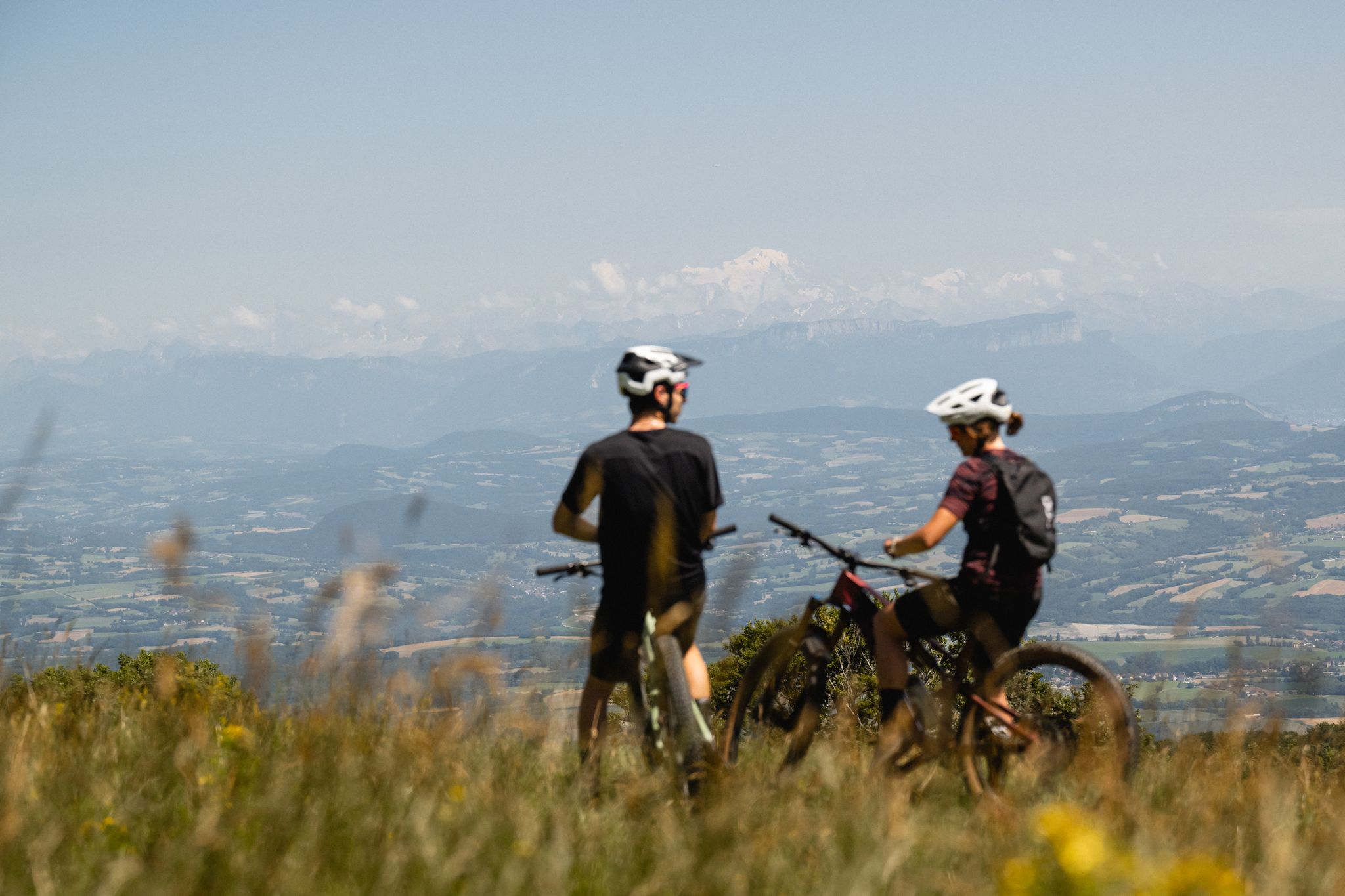
Gems of the Ain — MTB routes amidst natural beauty
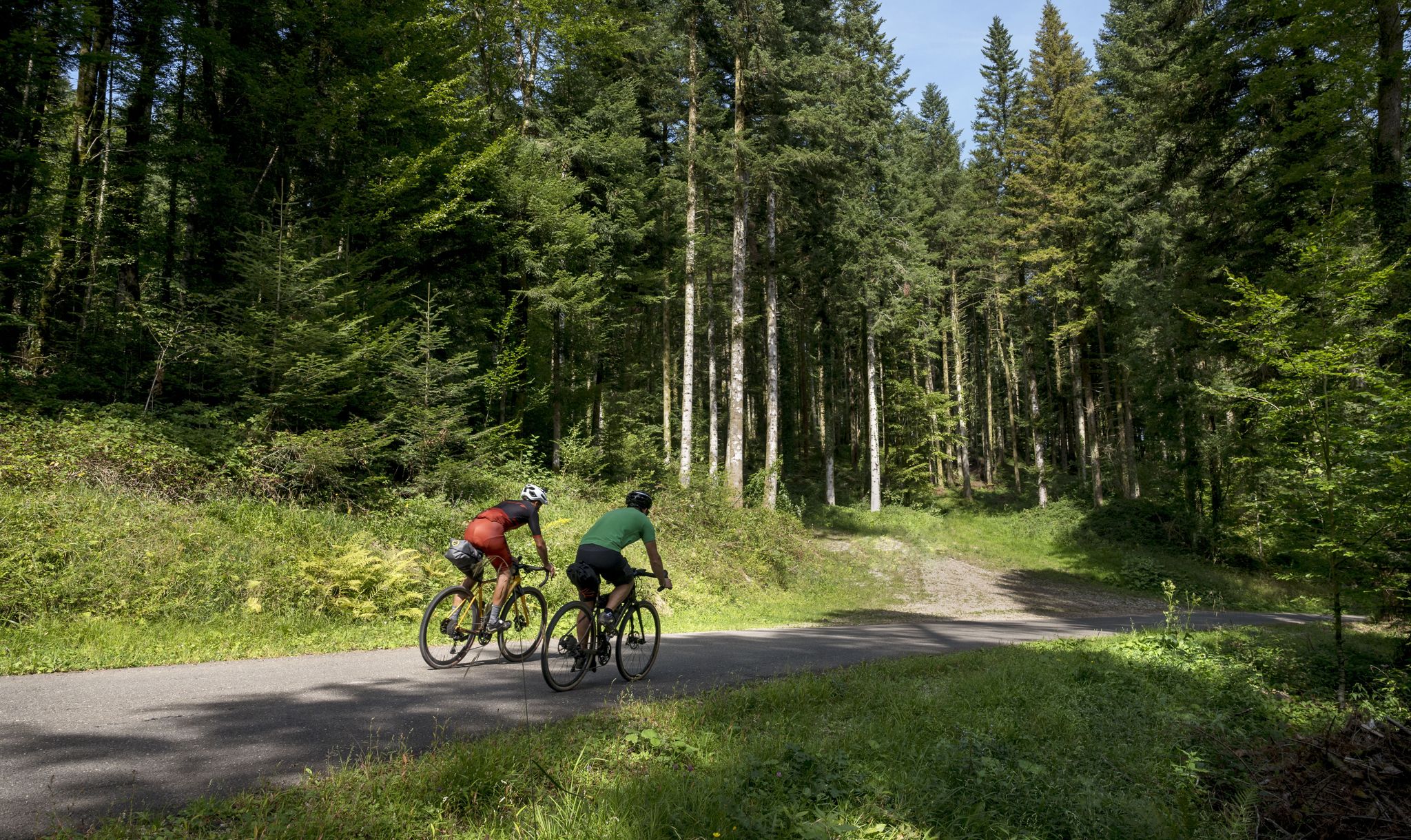
Grande Traversée du Jura - the gravel adventure
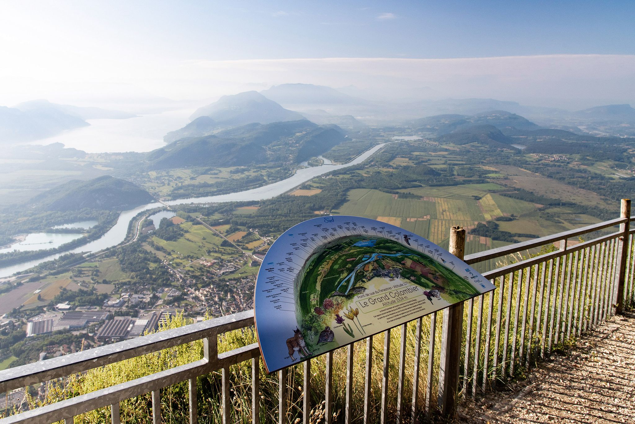
Tour de Pays MTB Bugey - Grand Colombier - Espace FFC Ain Forestière
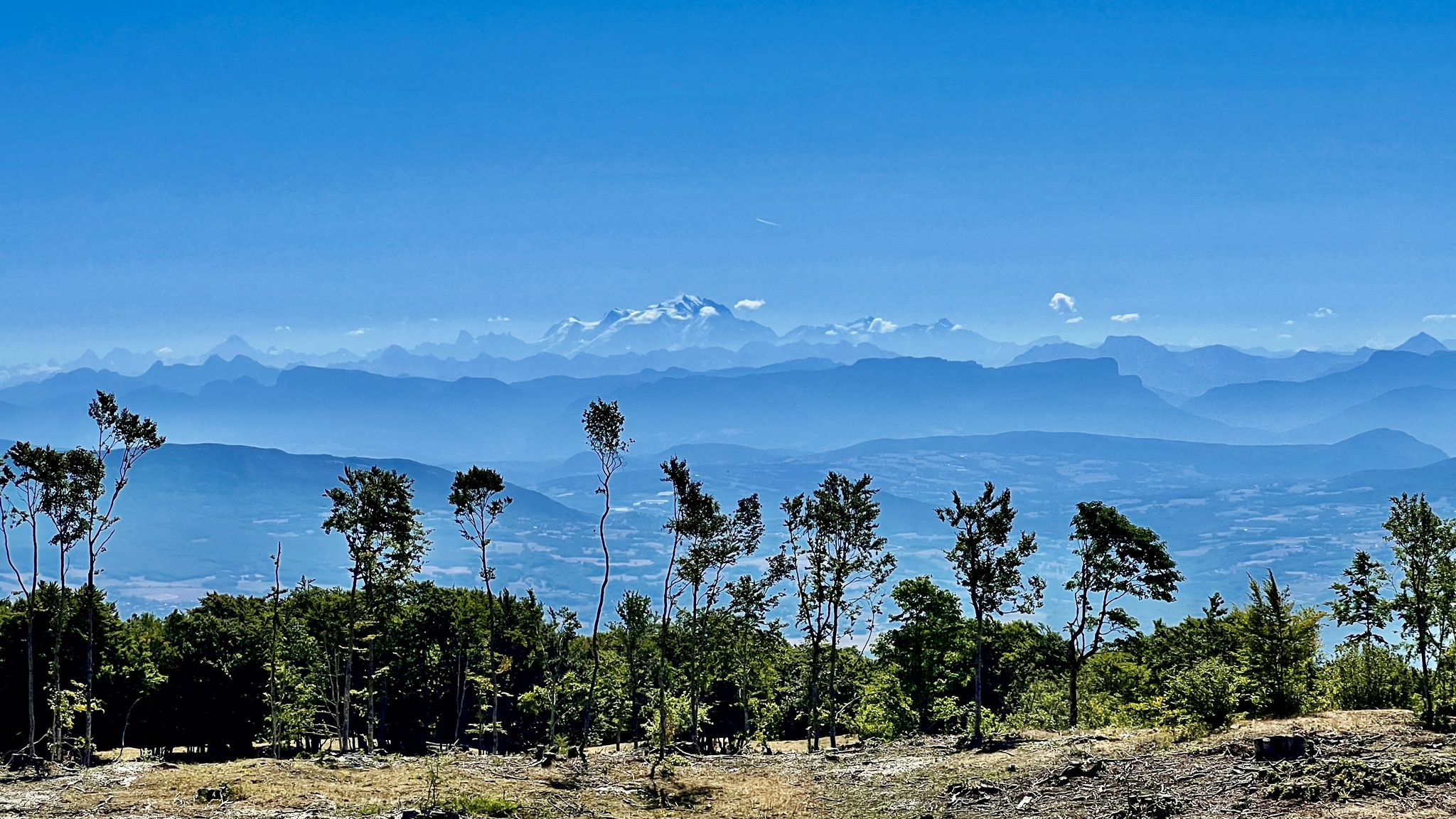
Circuits VTT entre Plateau de Retord et Grand Colombier
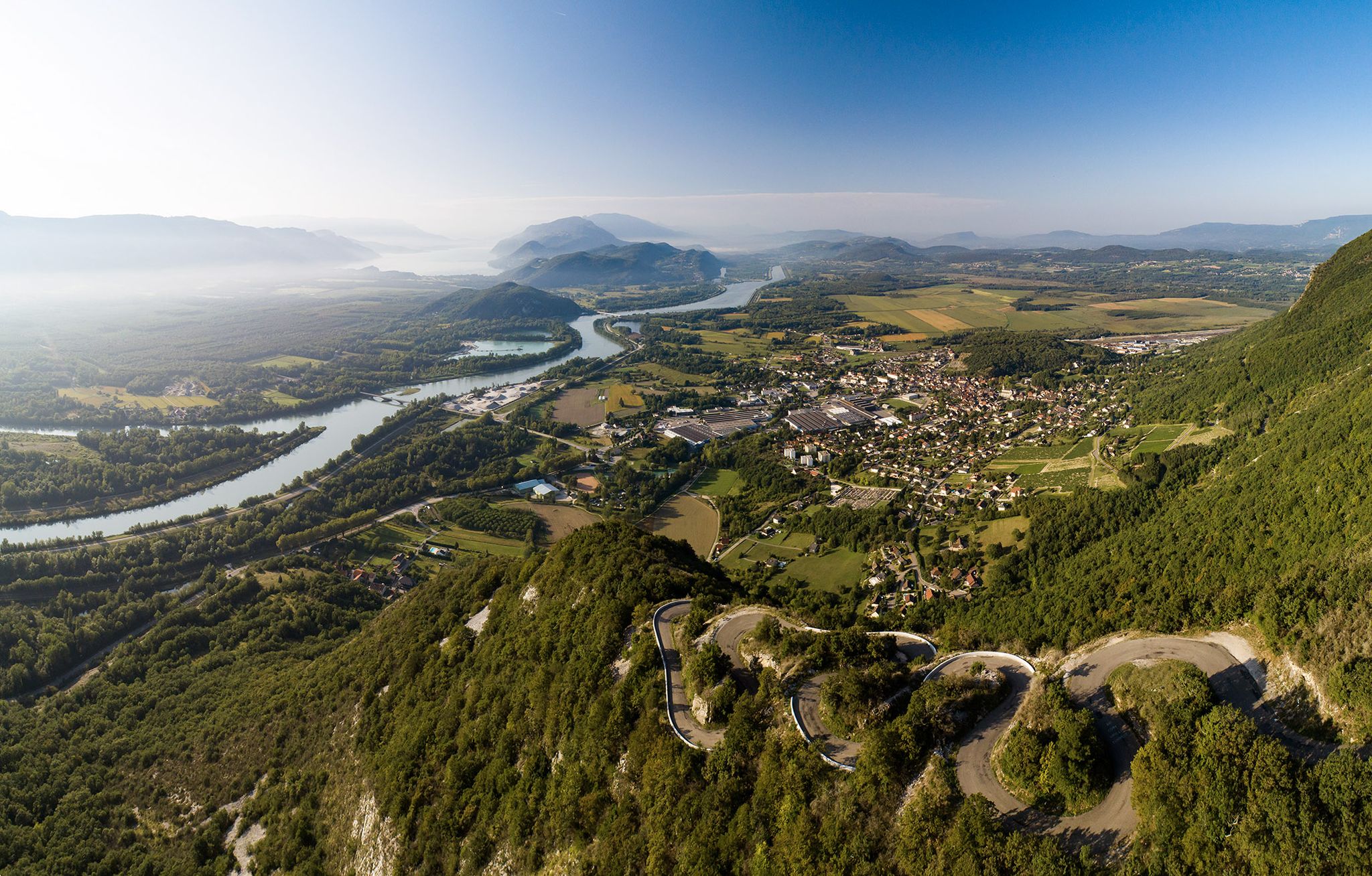
Top 14 des circuits vélo autour du Grand Colombier, de la ViaRhôna et du Plateau de Retord
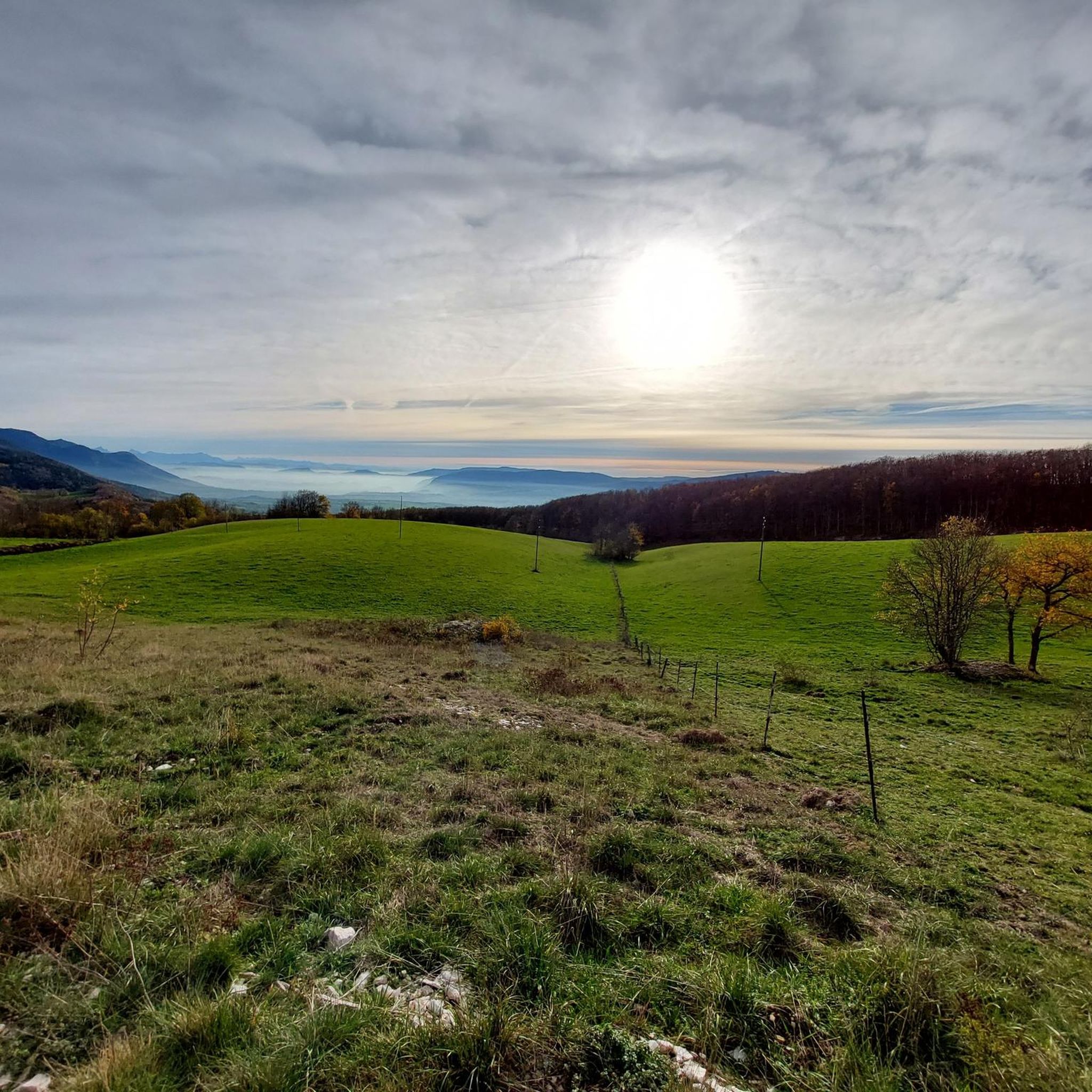
Road Cycling Routes around Haut-Valromey
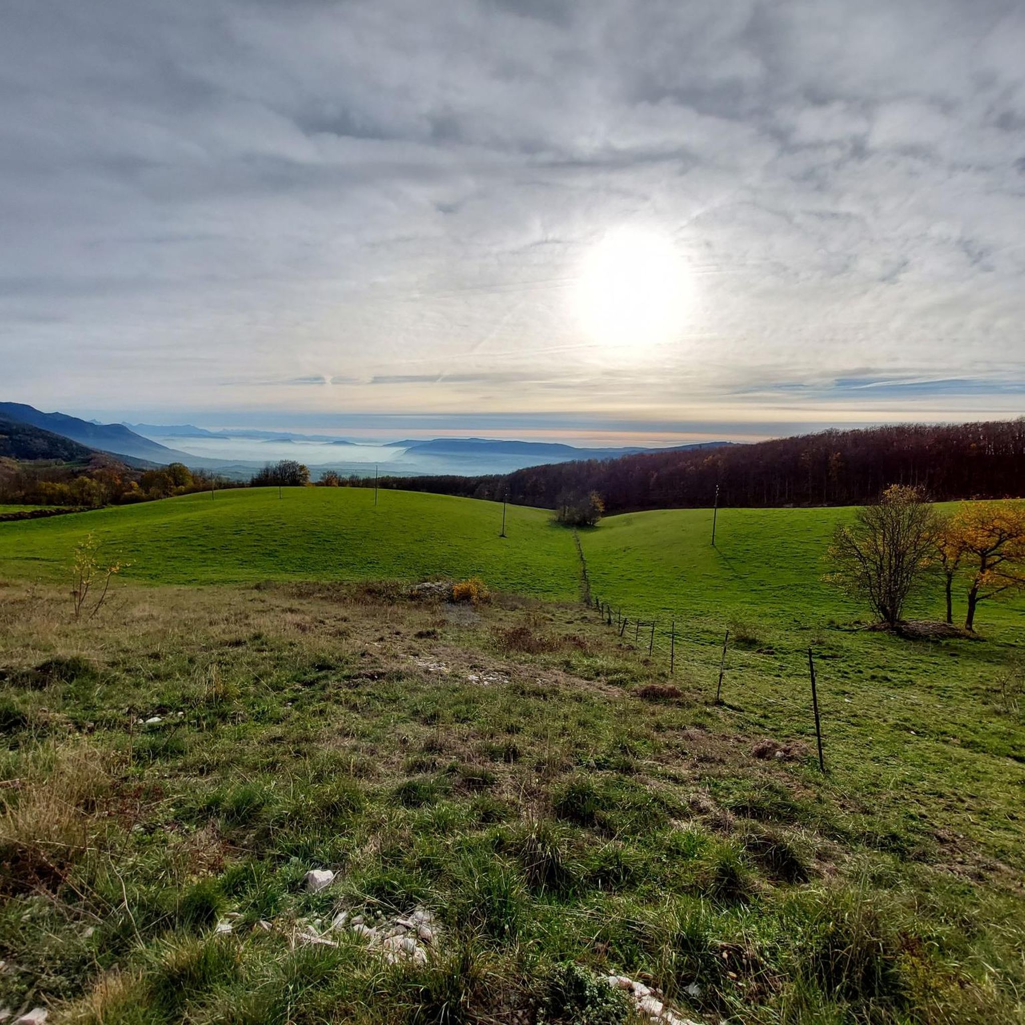
MTB Trails around Haut-Valromey
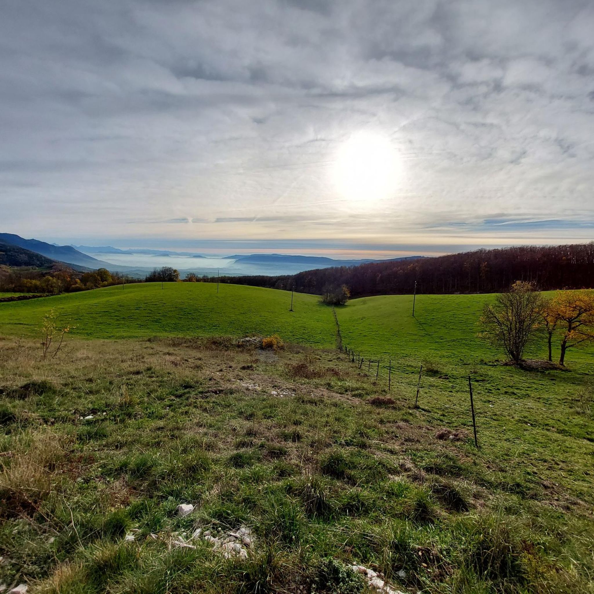
Cycling around Haut-Valromey
Hiking around Haut-Valromey

Gravel biking around Haut-Valromey
Other adventures around Haut-Valromey


Tips from the Community

Very beautiful view even when Mont Blanc is shrouded in clouds, very peaceful
0
0

A 10 km climb from the small roundabout in Châtillon, it's more like 14 km from the Nantua road or the center of Bellegarde. The gradient is fairly steady, ranging from 5.5% to 7.2%, with about ten small steep sections at +8.5%. Very quiet, with very few cars. The road is generally in good condition, but nothing more. There are some beautiful views along the way.
1
1

Extraordinary panorama, ideal place for a break on the GTJ route, a picnic or even a stopover in a gîte (booking: https://refugelaconay.clubalpinbourgenbresse.fr/reservation/)
0
0

This human-sized resort offers many activities available all year round. It is the starting point for VTT, Gravel and hiking circuits. It also has a biathlon stadium usable in summer and winter, unique in the Ain. Ideal for exploring the Jura massif.
0
0


Every second Saturday in June, July, August and September. from 7 a.m. to 3 p.m., the climb to the Grand Colombier from Culoz is reserved for cyclists, without registration.
3
0

Long and difficult climb, fantastic views along the way. Spicy increase percentages.
4
1
Frequently Asked Questions
How many running routes are available in Haut-Valromey?
Haut-Valromey offers a diverse network of over 20 running routes. These trails traverse varied landscapes, including the Plateau de Retord, dense forests, and open spaces, catering to different preferences and fitness levels.
Are there any easy jogging routes suitable for beginners in Haut-Valromey?
Yes, Haut-Valromey features a couple of easy jogging routes perfect for beginners or those looking for a more relaxed run. These trails typically offer gentler terrain and shorter distances, allowing you to enjoy the natural beauty without significant challenge.
What are some challenging trail running options in Haut-Valromey?
For experienced trail runners seeking a challenge, Haut-Valromey has several difficult routes. Options like the Beauregard Crest – Plans d'Hotonnes Station loop from Hotonnes (18.8 km with significant elevation gain) or the Les Terments loop from Le Grand-Abergement (24.3 km through forests and plateaus) offer demanding terrain and rewarding experiences. The region is even a training ground for ultra-trail athletes like Xavier Thévenard.
Can I find circular running routes in the region?
Yes, many of the running routes in Haut-Valromey are circular, allowing you to start and finish at the same point. Examples include the Golet Géla – Golet Comment loop from Chevillard and the Les Terments loop from Hotonnes, which provide convenient options for exploration.
What kind of views or natural attractions can I expect along the jogging routes?
Jogging routes in Haut-Valromey offer stunning natural attractions. You can expect panoramic views from ridges like Crêt du Nu and Tumet, often including distant glimpses of the Alps and Mont Blanc on clear days. The region is also characterized by picturesque forests and combes. While not directly on a jogging path, the unique Pain de Sucre (Sugar Loaf) is a notable geological curiosity in the wider Valromey area.
Are there specific routes known for panoramic views, especially of the Alps?
Absolutely. Many trails, particularly those on the higher points of the Plateau de Retord and areas like the Croix des Terments, offer breathtaking panoramic views. From the Crêt du Nu, for instance, you can often see Mont Blanc and the wider Alpine chain, providing inspiring scenery for your run.
Are dogs allowed on the running trails in Haut-Valromey?
Generally, dogs are welcome on trails in Haut-Valromey, especially in natural areas like the Plateau de Retord. However, it's always recommended to keep them on a leash, especially in protected areas, near livestock, or during wildlife breeding seasons, to ensure the safety and enjoyment of all users and local fauna.
Is public transport available to reach trailheads in Haut-Valromey?
Public transport options to specific trailheads in Haut-Valromey can be limited due to the rural nature of the region. It's advisable to check local bus schedules or consider driving to access the starting points of most running routes. Parking is generally available near popular trailheads.
What is the best time of year for jogging in Haut-Valromey?
The best time for jogging in Haut-Valromey is typically from spring through autumn. During these seasons, the weather is milder, and the trails are generally clear of snow, offering pleasant conditions for running amidst the region's vibrant natural landscapes. Summer provides shaded forest trails, while spring and autumn showcase beautiful foliage.
Are there options for winter running in Haut-Valromey?
While many trails may be covered in snow during winter, the region does offer some possibilities. The Biathlon Stadium at Les Plans d'Hotonnes, for example, has paths that can be used for walking and jogging when not in use for winter sports. For dedicated winter running, snowshoeing or trail running with appropriate gear on cleared paths might be an option.
What do other runners appreciate most about the trails in Haut-Valromey?
The running routes in Haut-Valromey are highly rated by the komoot community, with an average score of 4.2 stars. Runners often praise the diverse terrain, from mountain plateaus to dense forests, and the scenic ridges that offer inspiring views. The well-marked trails and the overall natural beauty of the region are frequently highlighted as key attractions.
Are there any specific trail running circuits in Haut-Valromey for serious athletes?
Yes, Haut-Valromey is home to recognized trail running circuits. The "Retord tour" and the "Ronde des Plans" are specific circuits originating in the area, offering significant elevation changes and showcasing diverse environments. The Retord tour has a positive elevation of 426 meters, while the Ronde des Plans features 394 meters, making them excellent choices for challenging runs.
Most popular routes around Haut-Valromey
Most popular attractions around Haut-Valromey

Get inspired with the komoot mobile app


Explore more
Browse the best Running Trails & Routes in other regions.
