The best walks and hikes around Mercurol-Veaunes
4.4
(508)
3,506
hikers
205
hikes
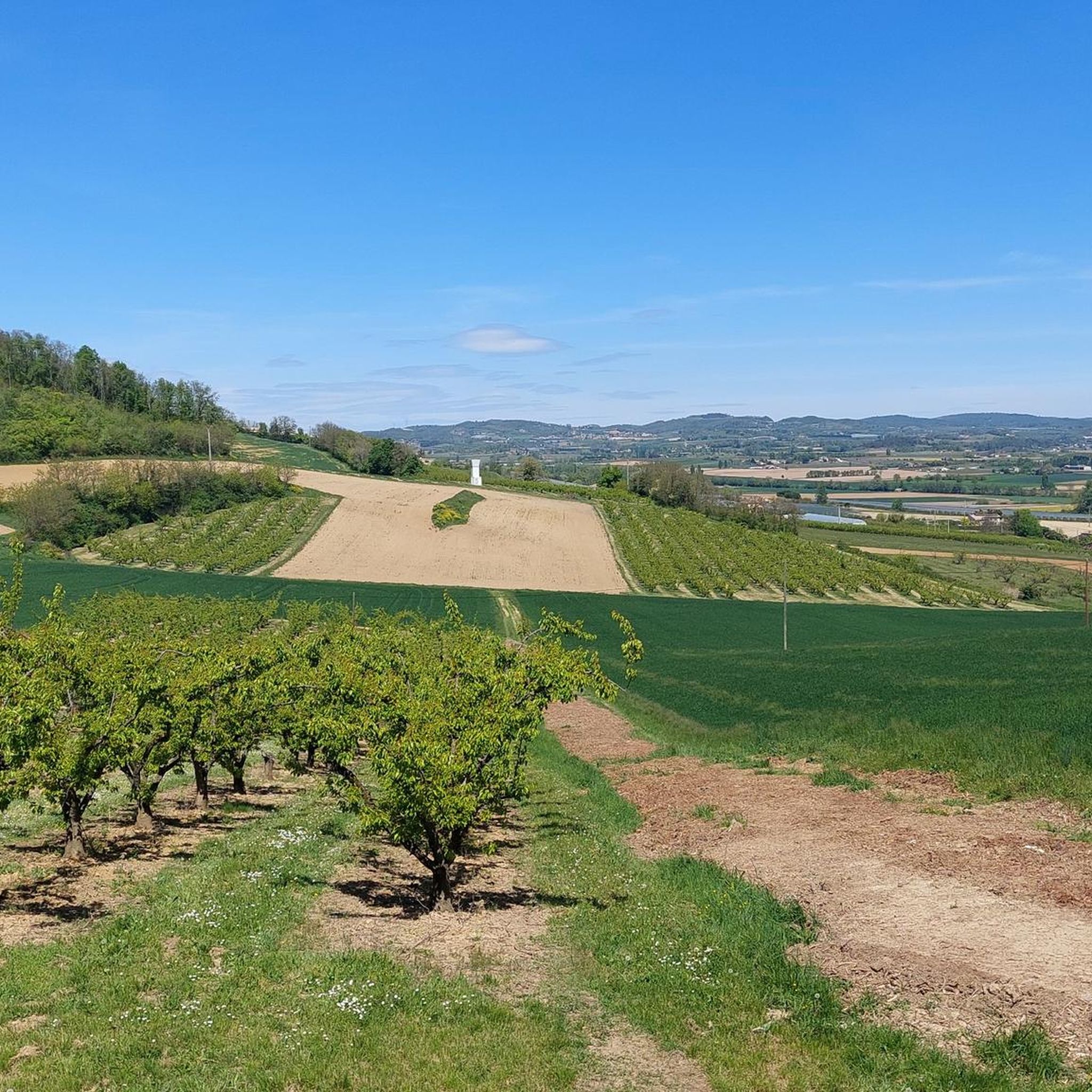
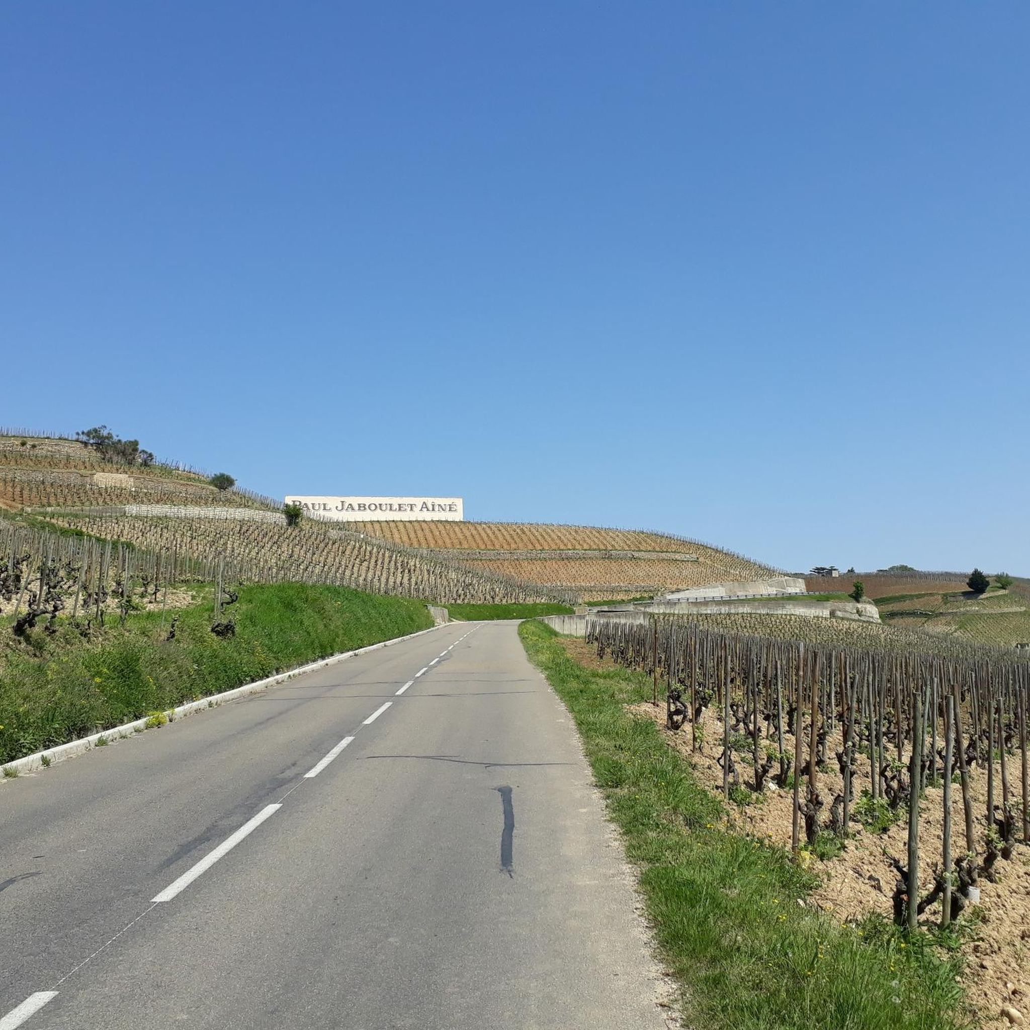
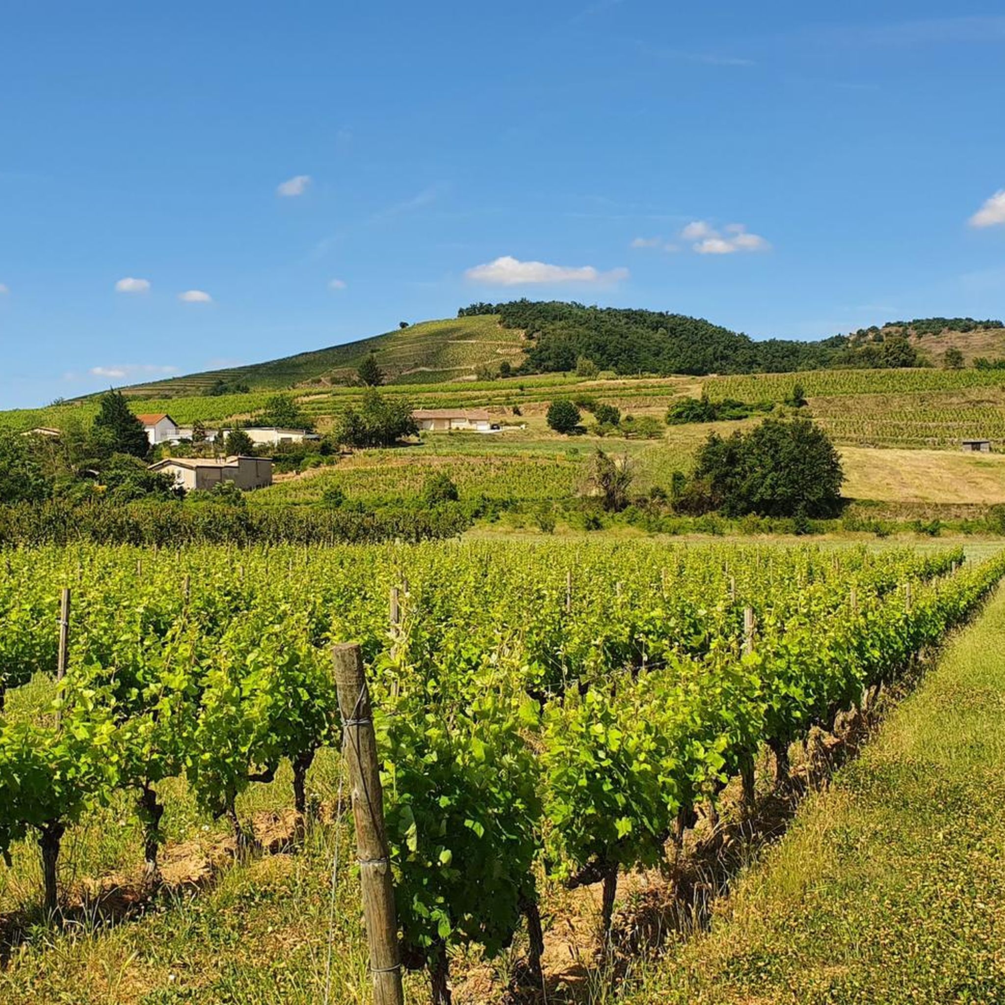
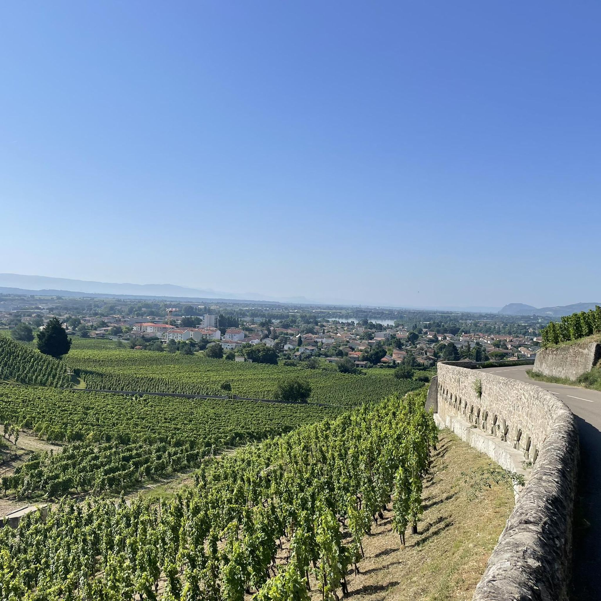
Hiking around Mercurol-Veaunes offers diverse terrain in the Drôme region, characterized by its hillside location, vineyards, and wooded areas. The landscape provides panoramic views of the Rhône Valley and the Vercors mountain range from elevated points. Trails often traverse through Crozes-Hermitage vineyards, fruit orchards, and along waterways. This area combines natural beauty with historic landmarks, making it suitable for varied outdoor exploration.
Best hiking trails around Mercurol-Veaunes
- The most popular hiking route is Mercurol Tower – View of Mont Blanc…
Last updated: August 25, 2026
4.3
(3)
29
hikers
8.77km
02:31
210m
210m
Moderate hike. Good fitness required. Easily-accessible paths. Suitable for all skill levels.
5.0
(3)
4
hikers
5.47km
01:34
120m
120m
Easy hike. Great for any fitness level. Easily-accessible paths. Suitable for all skill levels.
3.0
(4)
6
hikers
7.03km
01:58
140m
140m
Easy hike. Great for any fitness level. Easily-accessible paths. Suitable for all skill levels.
Get access to more routes and recommendations from other explorers.
Sign up for free
Already have an account?
Our route recommendations are based on thousands of hikes, rides, and runs completed by other people on komoot.
Start today with a free account
Your next adventure awaits.
Login or Signup

Frequently Asked Questions
What types of landscapes can I expect to see while hiking in Mercurol-Veaunes?
Mercurol-Veaunes offers a diverse landscape characterized by charming rural settings, hillside paths, and panoramic views of the Rhône Valley and the majestic Vercors mountain range. You'll hike through renowned Crozes-Hermitage vineyards, fruit orchards, tranquil wooded areas, and along scenic waterways, providing varied natural beauty throughout the seasons.
Are there many hiking trails available in Mercurol-Veaunes?
Yes, Mercurol-Veaunes boasts a comprehensive network of hiking trails. There are over 170 routes available, catering to various preferences and skill levels, from easy strolls to more challenging excursions.
What kind of historical landmarks or points of interest can I discover on the trails?
The region is rich in history. Along the trails, you can discover the historic 10th or 11th-century Mercurol Tower, offering superb panoramic views. You might also catch glimpses of the 15th-century Château de Conflans, admire the Romanesque Church of Sainte Anne or the 14th-century Saint-Étienne Church, and see traditional sites like the 1896 Veaunes Wash House and a reconstructed communal oven. For more attractions nearby, consider exploring highlights like the Passerelle Marc-Seguin or the Historic centre of Romans-sur-Isère.
Are there any easy hiking options suitable for families or casual walkers?
Absolutely. Mercurol-Veaunes has many easy trails. For example, the Saint Christopher's Chapel loop from Tournon-sur-Rhône is an easy 5.5 km path winding through wooded areas. Another accessible option is the Mercurol Tower loop from Mercurol-Veaunes, which is 5.5 km long and also considered easy.
Can I find circular hiking routes in Mercurol-Veaunes?
Yes, many of the trails in Mercurol-Veaunes are circular, allowing you to start and end at the same point. Popular loop trails include the Mercurol Tower – View of Mont Blanc loop from Mercurol-Veaunes, which is 8.8 km, and the Mercurol Tower loop from Chanos-Curson, spanning 11.3 km through vineyards.
What is the best time of year to go hiking in Mercurol-Veaunes?
The region's diverse terrain, including vineyards, orchards, and wooded areas, makes it enjoyable throughout the seasons. Spring and autumn offer pleasant temperatures and vibrant colors, while summer is ideal for early morning or late afternoon hikes. Even winter can be beautiful, with crisp air and unique views, though some paths might be muddy.
Are dogs allowed on the hiking trails in Mercurol-Veaunes?
Generally, dogs are welcome on many hiking trails in Mercurol-Veaunes. However, it's always recommended to keep them on a leash, especially when passing through agricultural areas like vineyards and orchards, or near livestock, to ensure the safety and comfort of everyone.
What do other hikers say about the trails in Mercurol-Veaunes?
The hiking routes in Mercurol-Veaunes are highly rated by the komoot community, with an average score of 4.4 stars from over 400 reviews. Hikers often praise the charming rural setting, the panoramic views of the Rhône Valley and Vercors mountains, and the well-maintained paths that wind through vineyards and wooded areas.
Are there any longer or more challenging hikes for experienced trekkers?
Yes, Mercurol-Veaunes offers routes up to 18 kilometers in length with varying difficulty levels. For a moderate challenge, consider the Étang du Mouchet loop from Chantemerle-les-Blés, which is 12.1 km long and takes around 3 hours 18 minutes to complete, traversing diverse terrain.
Is there public transport available to reach the trailheads?
While Mercurol-Veaunes is primarily a rural area, some local bus services might connect to nearby towns. However, for maximum flexibility and access to various trailheads, driving is often the most convenient option. Many routes start from villages with available parking.
Where can I find more information about the 'Les Hauts de Mercurol' trail?
The 'Les Hauts de Mercurol' is a moderate 8.29 km loop that offers gentle walks with views over the Tain l'Hermitage/Chanos-Curson valley, the Mercurol tower, and Conflans Castle. You can find more details about this specific trail on the Drôme Tourism website: drome-tourism.com.
Most popular routes around Mercurol-Veaunes
Most popular attractions around Mercurol-Veaunes

Get inspired with the komoot mobile app


Explore more
Browse the best Hikes in other regions.
