The best walks and hikes around Épagny-Metz-Tessy
4.5
(1982)
21,929
hikers
27
hikes
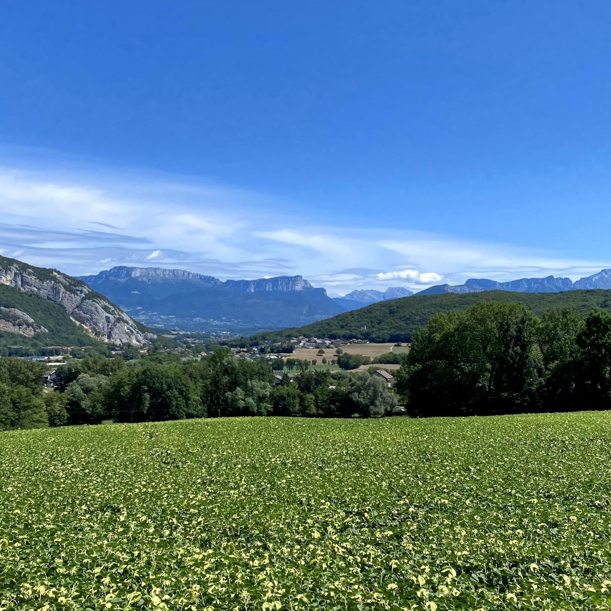
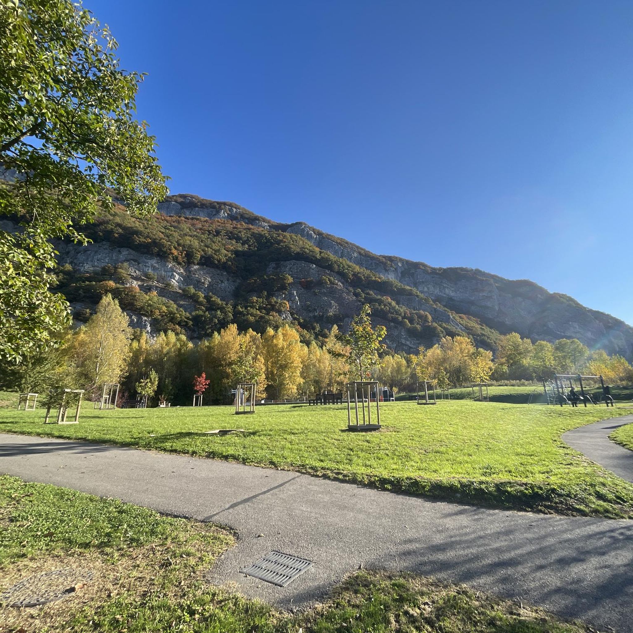
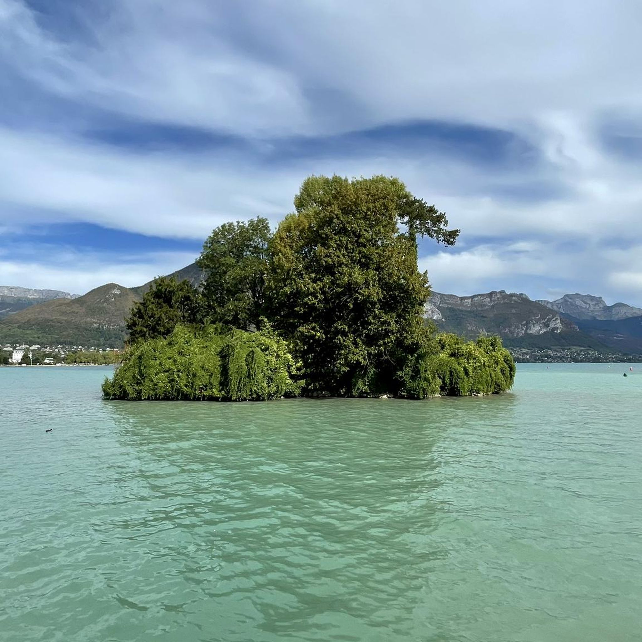
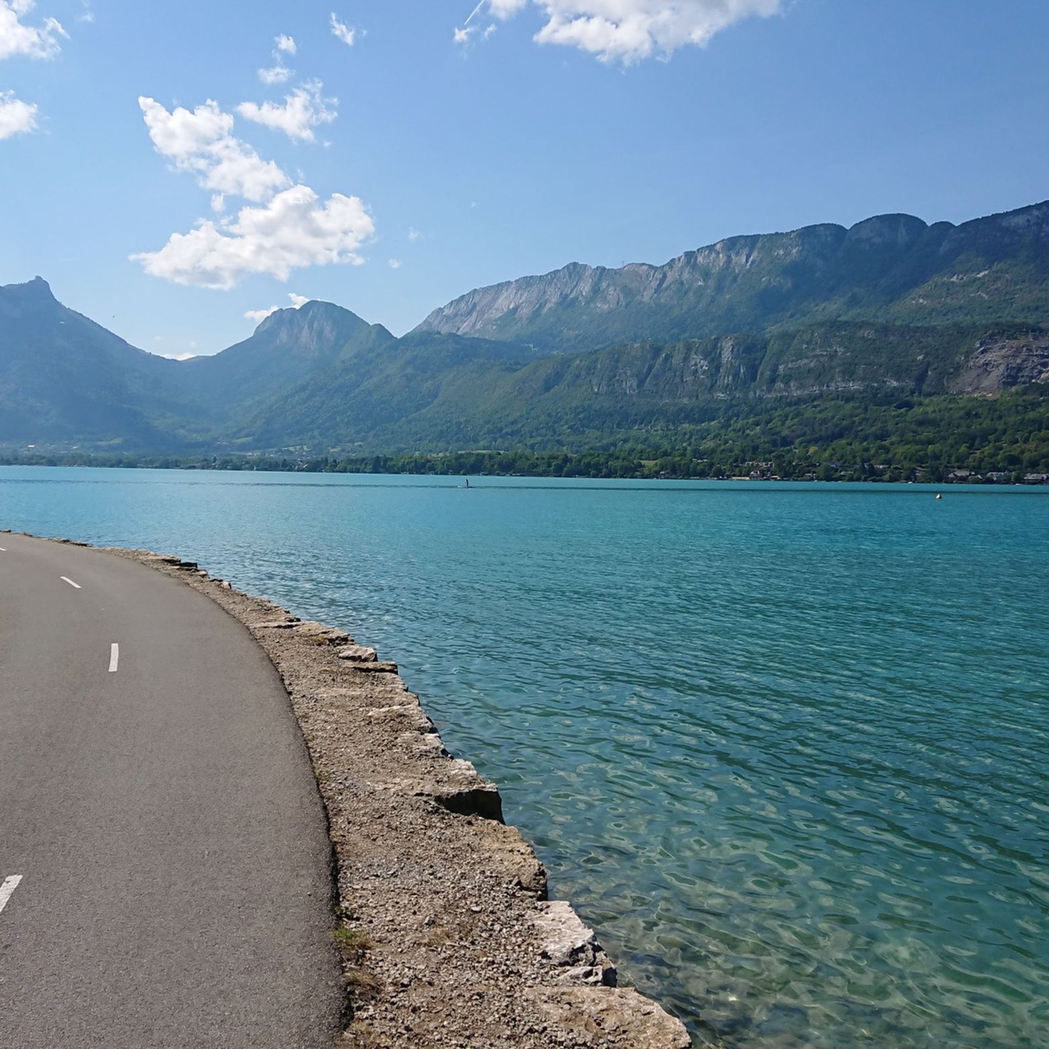
Hiking around Épagny-Metz-Tessy, located in the Haute-Savoie region, offers diverse landscapes characterized by mountainous terrain, including the Tête de la Mandallaz and Montagne d'Age. The area features trails along rivers like the Fier and Vieran, and provides access to views of Lake Annecy. Its varied topography includes both gentle paths and more challenging ascents, catering to different hiking preferences.
Best hiking trails around Épagny-Metz-Tessy
- The most popular hiking route is Resistance shelter 1944 – Tête de la Mandallaz loop from Épagny, a 6.0 miles (9.7 km) trail that takes 3 hours 8 minutes to complete. This route combines historical interest with views from the Tête de la Mandallaz.
- Another top favourite among local hikers is Viewpoint – View of Annecy and the Lake loop from Metz-Tessy, a moderate 7.5 miles (12.0 km) path. This trail offers panoramic views of Annecy and its lake.
- Local hikers also love the Tête de la Mandallaz – Sillingy Fault Mirror loop from Épagny, an 11.1 miles (17.8 km) trail leading through mountainous terrain, often completed in about 5 hours 17 minutes.
- Hiking around Épagny-Metz-Tessy is defined by mountainous terrain, views of Lake Annecy, and riverside paths. The network offers options for different ability levels, from easy walks to difficult ascents.
- The routes in Épagny-Metz-Tessy are highly rated by the komoot community with an average score of 4.5 stars from over 2,000 reviews. More than 25,000 hikers have used komoot to explore Épagny-Metz-Tessy's varied terrain.
Last updated: July 9, 2026
5.0
(5)
43
hikers
9.70km
03:08
400m
400m
Moderate hike. Good fitness required. Easily-accessible paths. Suitable for all skill levels.
5.0
(5)
23
hikers
12.0km
03:38
360m
360m
Moderate hike. Good fitness required. Mostly accessible paths. Sure-footedness required.

Sign up for free
4.4
(11)
27
hikers
17.7km
05:15
480m
480m
Hard hike. Very good fitness required. Easily-accessible paths. Suitable for all skill levels.
5.0
(2)
31
hikers
4.61km
01:26
160m
160m
Easy hike. Great for any fitness level. Easily-accessible paths. Suitable for all skill levels.
11
hikers
3.37km
00:51
10m
10m
Easy hike. Great for any fitness level. Easily-accessible paths. Suitable for all skill levels.
Get access to more routes and recommendations from other explorers.
Sign up for free
Already have an account?
Our route recommendations are based on thousands of hikes, rides, and runs completed by other people on komoot.
Start today with a free account
Your next adventure awaits.
Login or Signup

Tips from the Community

Very nice hike to do again
0
0

Great view of Annecy and the lake
0
0

It is difficult to recommend or not this trail which is nevertheless beautiful. It is difficult, in one direction as in the other. It is narrow, difficult, with steep overhangs, and it lacks maintenance. Do not embark on it thinking that it will be a walk in the park!
0
0
Here lived free from May 12 to August 19, 1944 the maquisards of the secret army of the Megevant group, called "PAN PAN". A little history, even during a mountain bike outing, doesn't hurt!
0
0
The Vuache Fault mirror is an easy to access but impressive site that is well worth a little detour!
0
0

Head of Mandallaz and Sillingy fault mirror
0
0

It’s beautiful… but not really passable by bike except mountain bike. It’s a gravel/stone path which, without big suitable tires, will make you skid.
0
0

Mandallaz Mountain, also known as Mandallaz Mountain (pronounced Mandalle), or Balme Mountain, is a mountain in the Prealps located in the Haute-Savoie department (France). The word mandallaz comes from the Old French muer, which gave rise to the verbs "remer" and "mouvoir," and more specifically the noun remue. It thus refers to a small chalet located in an alpine pasture, and in Savoyard, muanda, with the diminutive suffix -allaz. The mountain is locally known as Balme Mountain or La Balme-de-Sillingy, from the name of the eponymous commune. In a transcript of a meeting of the Florimontane Academy (1912), a note states that "Mandallaz is wrongly called the mountain of Balme de Sillingy." It can also be called Mandallaz Mountain or simply La Mandallaz. The Mandallaz Mountains are a small pre-Alpine massif, eight kilometers long and three to four kilometers wide, located northwest of the Annecy basin. It extends through the communes of Annecy (formerly Pringy), Choisy, Cuvat, Épagny-Metz-Tessy, La Balme-de-Sillingy, Sillingy, and Allonzier-la-Caille. Its most prominent peak, the Tête de la Mandallaz, at the southern end of the mountain overlooking La Balme-de-Sillingy and Épagny-Metz-Tessy at an altitude of 900 meters, is not its highest point; the highest point is located in the center of the mountain at 923 meters. The Mandallaz offers panoramic views of the Annecy metropolitan area, Lake Annecy, the Alps, the Montagne d'Âge, and the surrounding countryside.
2
1
Frequently Asked Questions
What kind of landscapes can I expect to see while hiking around Épagny-Metz-Tessy?
The region offers diverse landscapes, from mountainous terrain featuring peaks like the Tête de la Mandallaz and Montagne d'Age, to pleasant riverside walks along the River Fier and Vieran. You'll also find trails that provide stunning panoramic views of Lake Annecy and the surrounding Alps.
Are there any easy hiking trails suitable for beginners or families?
Yes, there are several easy trails. For instance, the Tête de la Mandallaz loop from Perchus is an easy 4.6 km route, taking about 1 hour 25 minutes. Another gentle option is the Resistance shelter 1944 loop from Perchus, which is 3.9 km and takes around 1 hour 6 minutes.
Can I find circular hiking routes in the area?
Yes, many of the trails around Épagny-Metz-Tessy are circular. Popular options include the Resistance shelter 1944 – Tête de la Mandallaz loop from Épagny, a moderate 9.7 km route, and the Viewpoint – View of Annecy and the Lake loop from Metz-Tessy, a 12.0 km moderate trail offering panoramic views.
What are the best viewpoints or landmarks to look out for on the trails?
Hikers can enjoy breathtaking views of Annecy and Lake Annecy from various points, including the Tête de la Mandallaz. Other notable viewpoints in the broader area include the View of Lake Annecy from Mont Veyrier and the View from Croix du Chef-Lieu overlooking Lake Annecy. You can also explore the historical Sillingy Fault Mirror.
Are there any trails that offer a more challenging hiking experience?
For those seeking a more demanding hike, the Tête de la Mandallaz – Sillingy Fault Mirror loop from Épagny is a difficult 17.8 km trail that typically takes over 5 hours to complete, leading through mountainous terrain with significant elevation changes.
What do other hikers say about the trails in Épagny-Metz-Tessy?
The trails in Épagny-Metz-Tessy are highly regarded by the komoot community, with an average rating of 4.5 stars from over 2,000 reviews. Hikers often praise the varied terrain, the stunning views of Lake Annecy, and the well-maintained paths that cater to different ability levels.
Are there any natural features like waterfalls or gorges to explore?
While Épagny-Metz-Tessy itself is known for its mountains and rivers, the broader Annecy region offers natural wonders. You can find the impressive Fier Gorge nearby, and further afield, the Angon waterfalls are accessible from the Forclaz pass, providing enchanting sights.
What is the best time of year to go hiking in Épagny-Metz-Tessy?
The region is generally pleasant for hiking from spring through autumn. Spring brings lush greenery and blooming flowers, while autumn offers vibrant foliage. Summer is also popular, but trails can be busier. Winter hiking is possible, but some higher elevation routes may require appropriate gear due to snow and ice.
How many hiking routes are available in Épagny-Metz-Tessy?
There are around 15 distinct hiking routes available in Épagny-Metz-Tessy, ranging from easy walks to more challenging ascents. This variety ensures options for different preferences and fitness levels.
Are there any historical sites accessible via hiking trails?
Yes, you can explore historical sites like the Abri des résistants 1944 (Resistance shelter 1944), which is part of the Resistance shelter 1944 – Tête de la Mandallaz loop from Épagny. This combines historical interest with scenic views.
Is it possible to combine hiking with other activities like visiting Lake Annecy?
Absolutely. Épagny-Metz-Tessy's proximity to Lake Annecy makes it ideal for combining hiking with lakeside activities. Many trails offer views of the lake, and you can easily access the lake's greenways for strolls or visit Annecy Old Town for cultural exploration after your hike.
Most popular routes around Épagny-Metz-Tessy
Most popular attractions around Épagny-Metz-Tessy

Get inspired with the komoot mobile app


Explore more
Browse the best Hikes in other regions.
