The best mountain hikes around La Plagne-Tarentaise
4.7
(31)
274
hikers
28
hikes
Mountaineering routes around La Plagne-Tarentaise traverse a diverse and challenging alpine landscape, characterized by high peaks, glaciers, and extensive trail networks. The region is situated within the Vanoise National Park, offering access to pristine alpine environments and significant summits. This terrain provides varied opportunities for mountaineering, from glacier training to ascents of iconic Alpine peaks.
Best mountaineering routes around La Plagne-Tarentaise
- The most popular mountaineering route is Peisey Via Ferrata – Lac de la Grassaz loop from Refuge de Rosuel, a 9.5 miles (15.3 km) trail that takes 6 hours 28 minutes to complete. This difficult route combines a via ferrata experience with high alpine scenery.
- Another top favourite among local mountaineers is Col Bresson – Refuge de la Balme loop from La Côte-d'Aime, a difficult 9.3 miles (15.0 km) path. This route offers sustained climbing through high mountain terrain, passing by a mountain refuge.
- Local mountaineers also love the Lac de la Portette – Col de Charbonnière loop from Valezan, a 13.3 miles (21.4 km) trail leading through alpine passes and lakes, often completed in about 8 hours 33 minutes.
- Mountaineering around La Plagne-Tarentaise is defined by high alpine peaks, glaciers, and the protected landscapes of the Vanoise National Park. The network offers options for both experienced mountaineers and those seeking challenging ascents.
- The routes in La Plagne-Tarentaise are highly rated by the komoot community with an average score of 4.4 stars from more than 30 reviews. Nearly 300 mountaineers have used komoot to explore La Plagne-Tarentaise's varied terrain.
Last updated: July 4, 2026
4.5
(2)
19
hikers
15.1km
06:26
770m
770m
Hard mountaineering route. Very good fitness required. Mostly accessible paths. Sure-footedness required.
19
hikers
14.9km
06:08
920m
910m
Hard mountaineering route. Very good fitness required. Sure-footedness, sturdy shoes and alpine experience required.

Sign up for free
4.0
(1)
16
hikers
22.9km
09:15
1,420m
1,420m
Hard mountaineering route. Very good fitness required. Mostly accessible paths. Sure-footedness required.
10
hikers
11.7km
05:24
920m
920m
Hard mountaineering route. Very good fitness required. Sure-footedness, sturdy shoes and alpine experience required.
5.0
(3)
7
hikers
14.5km
05:50
940m
940m
Hard mountaineering route. Very good fitness required. Mostly accessible paths. Sure-footedness required.
Get access to more routes and recommendations from other explorers.
Sign up for free
Already have an account?
Our route recommendations are based on thousands of hikes, rides, and runs completed by other people on komoot.
Start today with a free account
Your next adventure awaits.
Login or Signup
Popular around La Plagne-Tarentaise
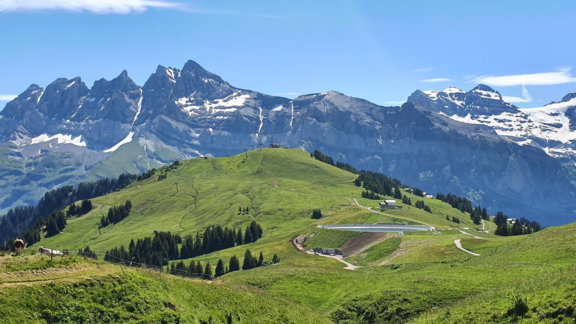
Europe Trail (GR 5) – Hike from Landry to Thonon-les-Bains
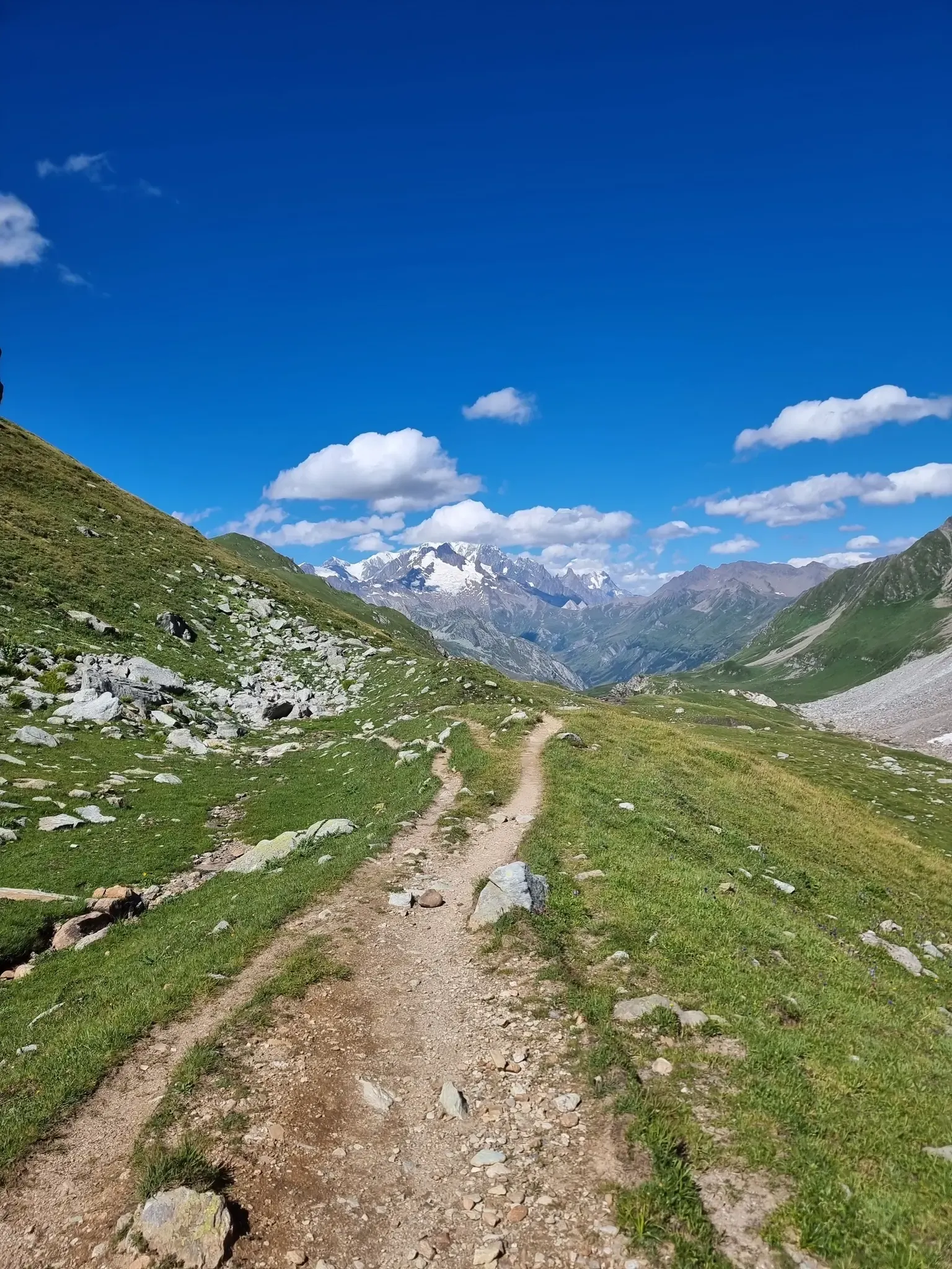
Five days of alpine fastpacking - Ultra Tour du Beaufortain

Hike from Savoie to Vanoise – Hexatrek in France’s Northern Alps
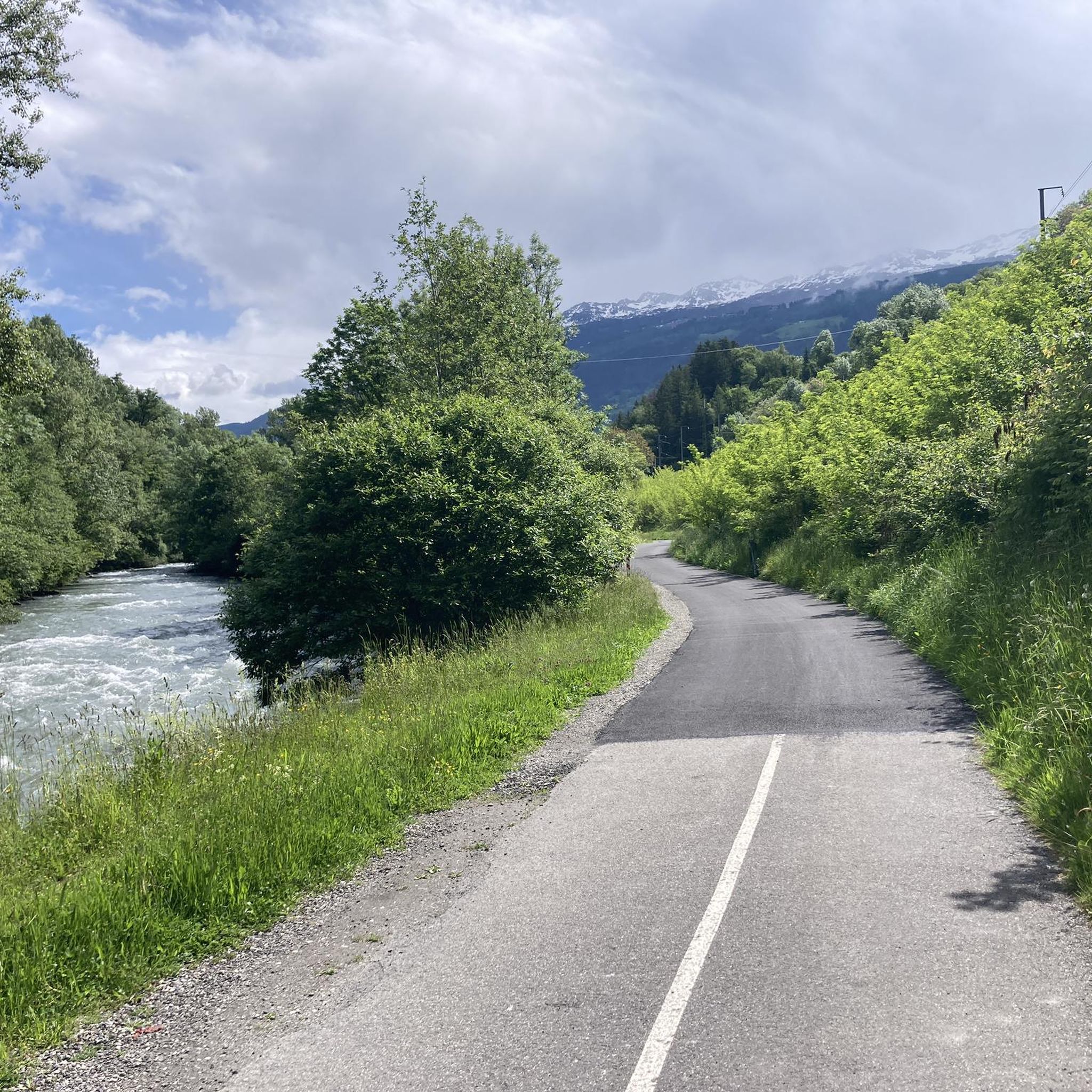
Hiking around La Plagne-Tarentaise
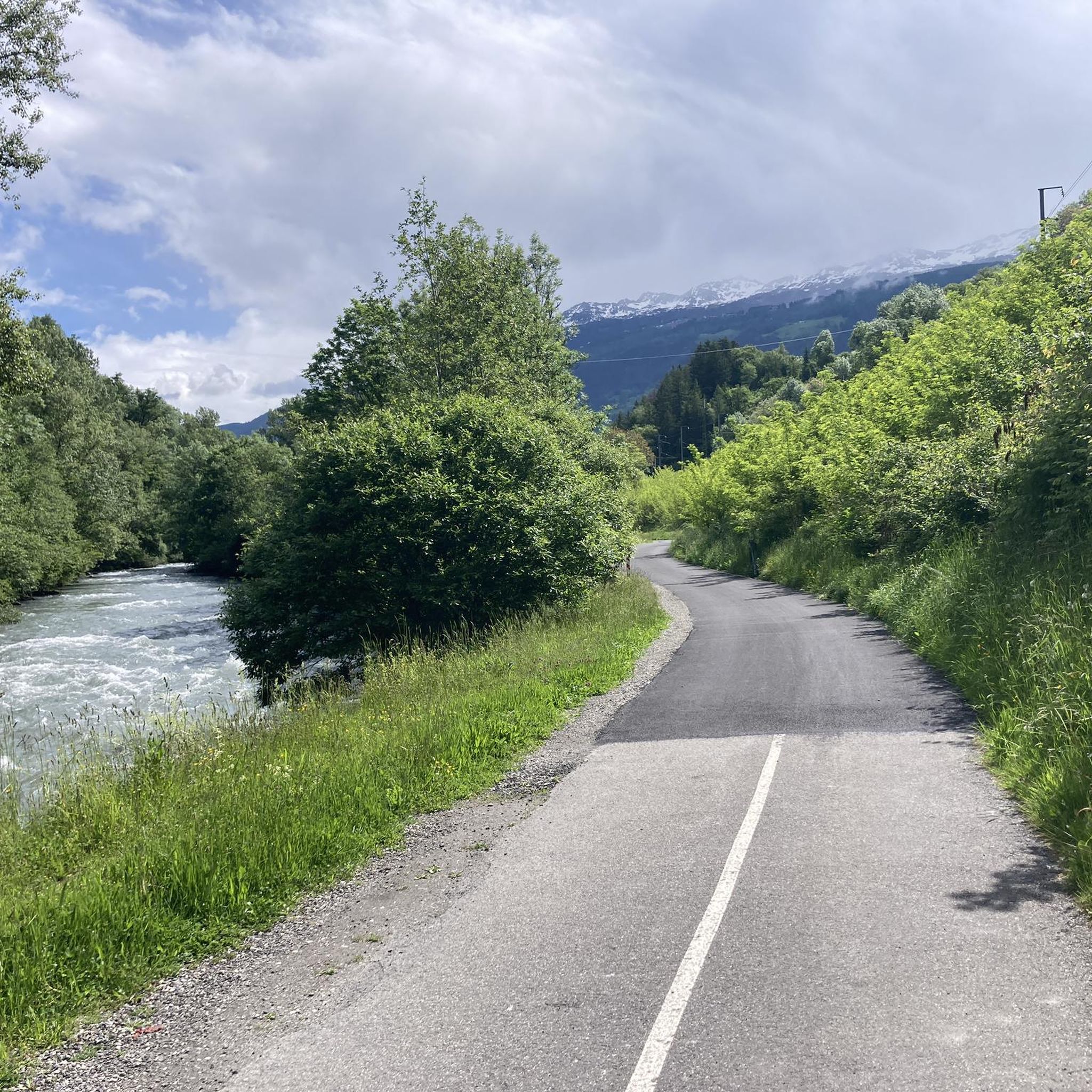
Cycling around La Plagne-Tarentaise
MTB Trails around La Plagne-Tarentaise
Running Trails around La Plagne-Tarentaise
Road Cycling Routes around La Plagne-Tarentaise

Gravel biking around La Plagne-Tarentaise
Other adventures around La Plagne-Tarentaise


Tips from the Community

A freelancer and a home-based business require a Shop and Establishment Certificate. As it ensures legal identity, it erects client trust and complies with local labor laws. Shop License enables smooth business activities, is eligible for government benefits and registration, and bank account opening. https://www.legalraasta.com/shop-establishment-license
0
0

Rustic hut in renovated goat sheds; simple dormitory-style accommodation; great food; superb location at the end of the Ponturin high valley by a high-altitude lake; bivouac facilities
0
0
A very pleasant hut on the GR 5 with bivouac facilities.
0
0

Refuge Alt. 2009m, in the commune of Aime la Plagne, located on the GR tour of Beaufortains at the foot of the Pierra Menta near the Presset refuge Alt. 2514m. Lac d'Amour, Lac de Presset. In the valley which goes up to the refuge, at the level of the Aval chalet Patou protection dog zone (check the sheepdog zones with pasto-kezako.fr and Waffapp.)
0
0
The music and editing https://www.sanjoserestaurantorder.online/ style create a vibe that’s hard not to enjoy.
1
0

Information, contact, and opening hours: https://refuge-rosuel.vanoise.com/ The refuge is a starting point for numerous hikes and is a one-hour walk from the edge of the Vanoise National Park. It welcomes all visitors and provides information about the park. It is a stop on the GR5 long-distance hiking trail. A pair of bearded vultures nests nearby. https://www.vanoise-parcnational.fr/fr/fiche-apidae/refuge-de-rosuel-pnv
1
0

This lake is located at an altitude of 2,248 meters, at the foot of Pierra Menta, a remarkable peak in the Beaufortain massif. https://youtu.be/G0Ss9v6wxQQ
1
0
Frequently Asked Questions
How many mountaineering routes are available in La Plagne-Tarentaise?
There are over 30 mountaineering routes around La Plagne-Tarentaise, offering a diverse range of experiences. These include 13 moderate and 19 difficult routes, catering to various skill levels.
What are the typical difficulty levels for mountaineering in this region?
Mountaineering routes in La Plagne-Tarentaise are generally categorized as moderate to difficult. The region's terrain, including high alpine peaks and glaciers, means that most routes require a good level of fitness and experience. For example, the Lac de la Portette – Col de Charbonnière loop from Valezan is a difficult 13.3-mile trail with significant elevation gain.
Are there any circular mountaineering routes in La Plagne-Tarentaise?
Yes, many mountaineering routes in the region are circular. For instance, the Col Bresson – Refuge de la Balme loop from La Côte-d'Aime is a challenging 9.3-mile circular path that offers sustained climbing through high mountain terrain. Another option is the Lac d'Amour – Passage de la Mantaz loop from Treicol, a difficult 7.5-mile circular route.
What natural features or landmarks can I expect to see along the routes?
Mountaineering routes in La Plagne-Tarentaise offer stunning natural features. You can encounter high mountain passes like Col du Bonhomme, serene lakes such as Lake Garattaleu, and impressive summits like Dent du Villard Summit and Roche Parstire. The region is also known for its glaciers and the dramatic Gorges de Ballandaz.
Are there any routes suitable for beginners or those new to glacier travel?
While many routes are difficult, the Vanoise massif is known for its large, not-too-steep glaciers, which can facilitate easier mountaineering routes suitable for beginners to experience walking on glaciers. Dedicated mountaineering courses and guided ascents are available in the region, including ice school sessions on the Bellecôte Glacier for learning basic techniques.
Can I bring my dog on mountaineering routes in La Plagne-Tarentaise?
The Vanoise National Park, which encompasses part of La Plagne-Tarentaise, has specific regulations regarding dogs to protect its wildlife. Generally, dogs are not permitted, even on a leash, within the core zone of the National Park. It's essential to check local regulations for specific trails and areas outside the core zone before planning your trip with a dog.
What is the best time of year for mountaineering in this region?
The best time for mountaineering in La Plagne-Tarentaise is typically during the summer months, from late June to early September, when snow has largely melted from lower and mid-altitudes, and weather conditions are generally more stable. However, glacier routes may be accessible earlier or later depending on snowpack. Always check current weather and trail conditions before heading out.
Are there routes with mountain huts for overnight stays?
Yes, some mountaineering routes in La Plagne-Tarentaise offer mountain huts for overnight stays, which can extend your adventure or provide a base for multi-day ascents. The Refuge de Rosuel and Col de la Croix du Bonhomme Refuge are examples of such facilities. The Refuge de la Balme – Chalet du Mont Rosset loop from Valezan is a difficult route that passes by a refuge.
What kind of wildlife might I spot while mountaineering?
The Vanoise National Park is a sanctuary for Alpine wildlife. While mountaineering, you might spot ibex (bouquetin), chamois, marmots, and various bird species, including golden eagles. The park's diverse ecosystems, including rare stone pine forests, contribute to its rich biodiversity.
Do I need any special permits for mountaineering in the Vanoise National Park?
Generally, no specific permits are required for hiking or mountaineering on marked trails within the Vanoise National Park. However, certain activities, such as bivouacking (allowed between 7 PM and 8 AM, at least an hour's walk from the park boundaries or a road), may have specific rules. It's always advisable to consult the official Vanoise National Park website for the most up-to-date regulations, especially if planning off-trail excursions or specific mountaineering activities.
What do other mountaineers say about the routes here?
The mountaineering routes in La Plagne-Tarentaise are highly rated by the komoot community, with an average score of 4.4 stars from over 30 reviews. Reviewers often praise the challenging ascents, the stunning high alpine scenery, and the well-maintained trails that lead through diverse landscapes, including glaciers and mountain passes.
Are there any less crowded routes for a more solitary experience?
While popular routes can see more traffic, exploring routes slightly off the main paths or during shoulder seasons (early summer or late autumn) can offer a more solitary experience. Routes like the Peisey Via Ferrata – Lac de la Grassaz loop from Refuge de Rosuel, while challenging, can provide a sense of remoteness, especially on weekdays.
Most popular routes around La Plagne-Tarentaise
Most popular attractions around La Plagne-Tarentaise

Get inspired with the komoot mobile app


Explore more
Browse the best Mountain Hikes & Routes in other regions.
