The best mountain hikes around Autrans-Méaudre-En-Vercors
4.8
(14)
123
hikers
14
hikes
Mountaineering routes Autrans-Méaudre-En-Vercors are situated within the Vercors mountain range, offering access to a diverse mountainous environment. The region is characterized by dramatic cliffs, plateaus, and varied topography, including mountain peaks and passes. This landscape provides a robust setting for vertical and technical outdoor pursuits.
Best mountaineering routes around Autrans-Méaudre-En-Vercors
- The most popular mountaineering route is Pic Saint-Michel (1966 m) – Arc Pass loop from Parking des Barnets, a 5.6 miles (9.0 km) trail that takes 3 hours 31…
Last updated: June 30, 2026
5.0
(4)
24
hikers
8.90km
04:06
700m
700m
Hard mountaineering route. Good fitness required. Sure-footedness, sturdy shoes and alpine experience required.
5.0
(3)
13
hikers
Hard mountaineering route. Very good fitness required. Mostly accessible paths. Sure-footedness required.

Sign up for free
13
hikers
8.53km
03:19
610m
610m
Moderate mountaineering route. Good fitness required. Mostly accessible paths. Sure-footedness required.
4.0
(1)
11
hikers
12.6km
03:59
520m
520m
Hard mountaineering route. Good fitness required. Sure-footedness, sturdy shoes and alpine experience required.
5.0
(1)
7
hikers
6.70km
02:16
340m
340m
Moderate mountaineering route. Good fitness required. Mostly accessible paths. Sure-footedness required.
Get access to more routes and recommendations from other explorers.
Sign up for free
Already have an account?
Our route recommendations are based on thousands of hikes, rides, and runs completed by other people on komoot.
Start today with a free account
Your next adventure awaits.
Login or Signup
Popular around Autrans-Méaudre-En-Vercors
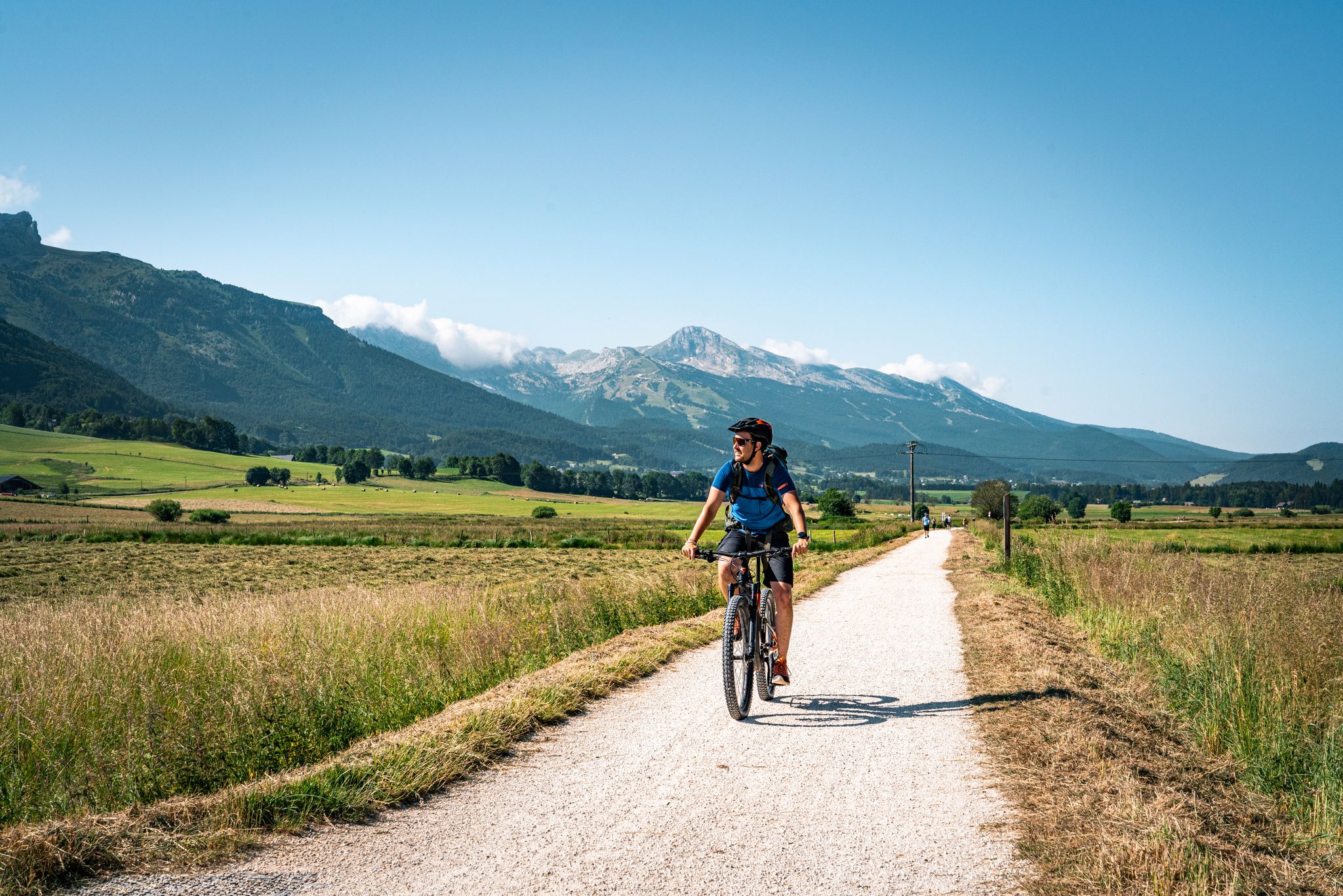
Vercors — the best gravel and mountain bike routes
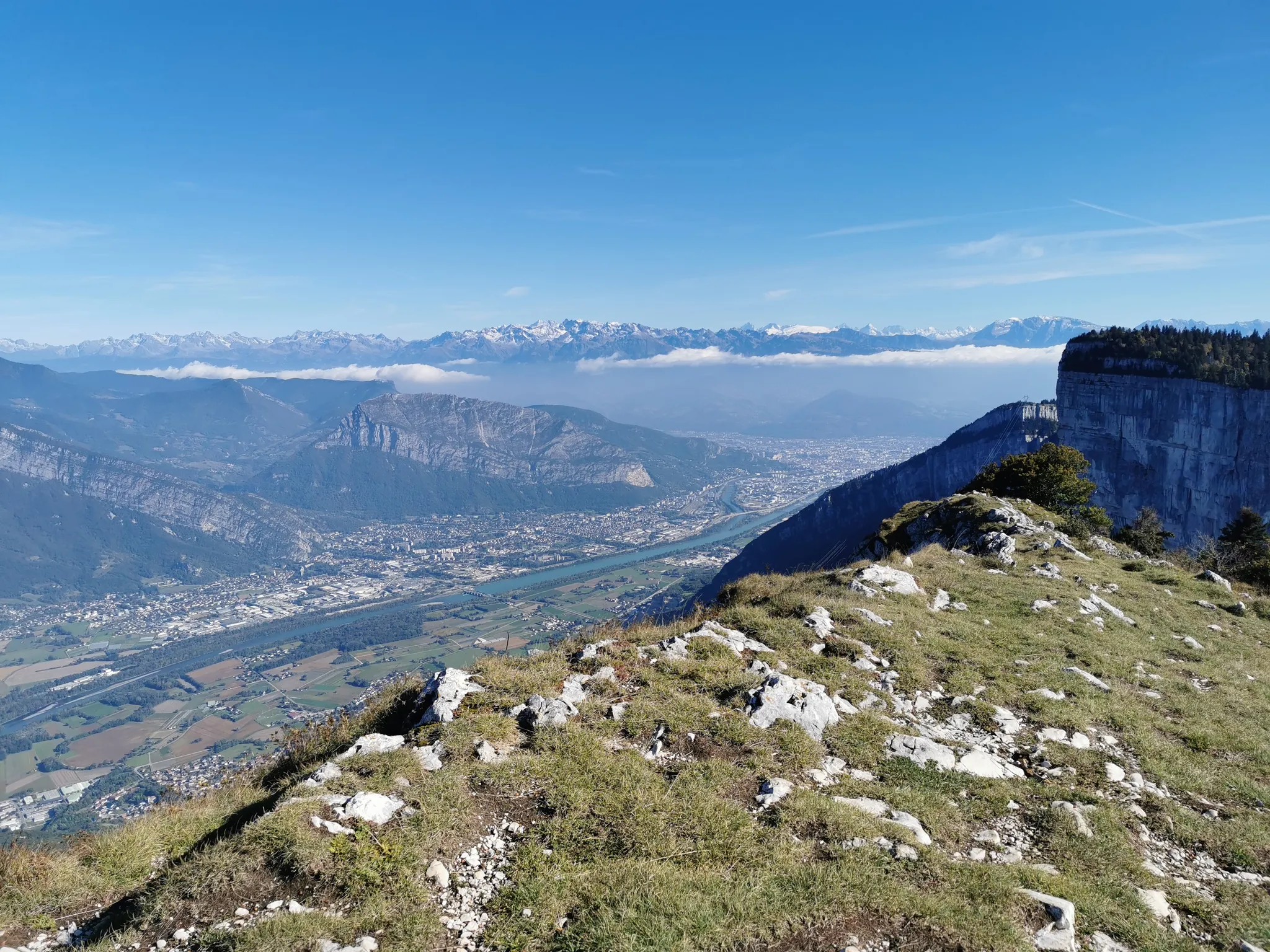
Grand Tour of the Vercors – third section
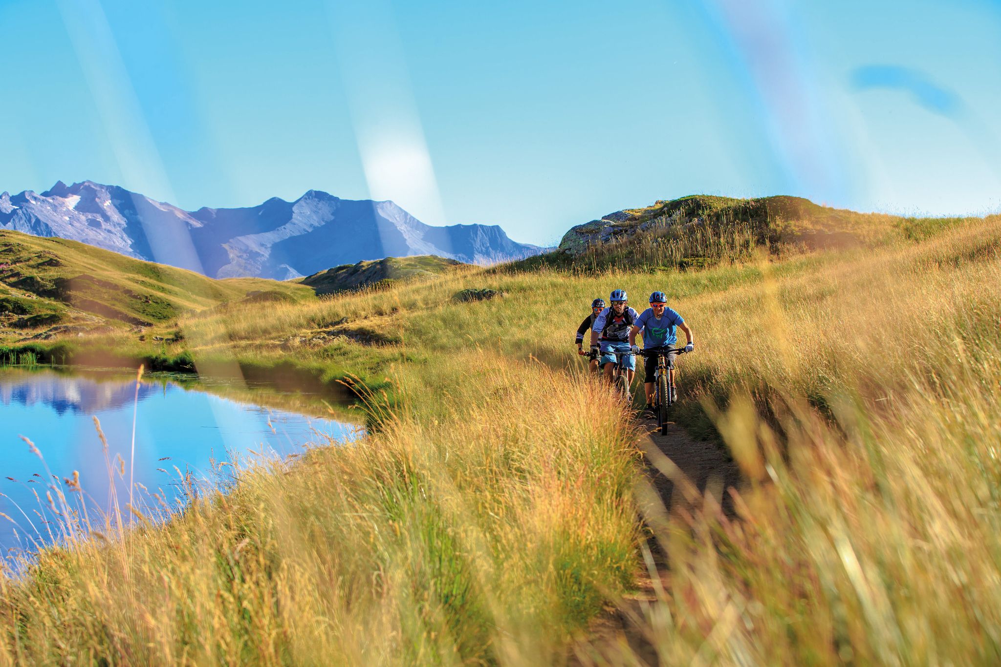
Great e-bike routes in Isère, France
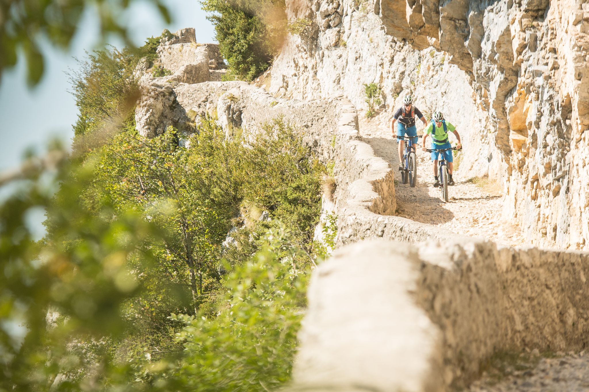
The Great Crossing of France’s Vercors mountains by MTB
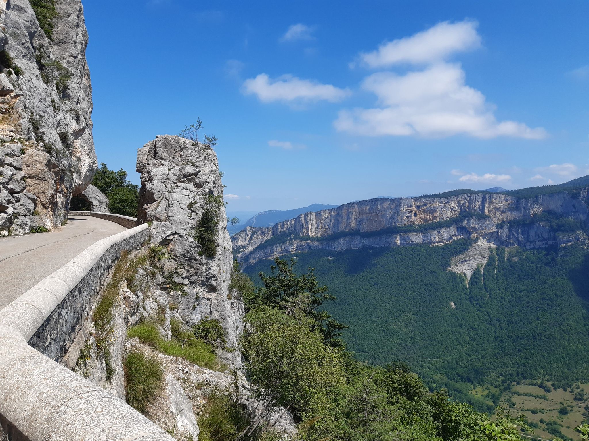
Cycling in the Vercors — one of France's hidden gems
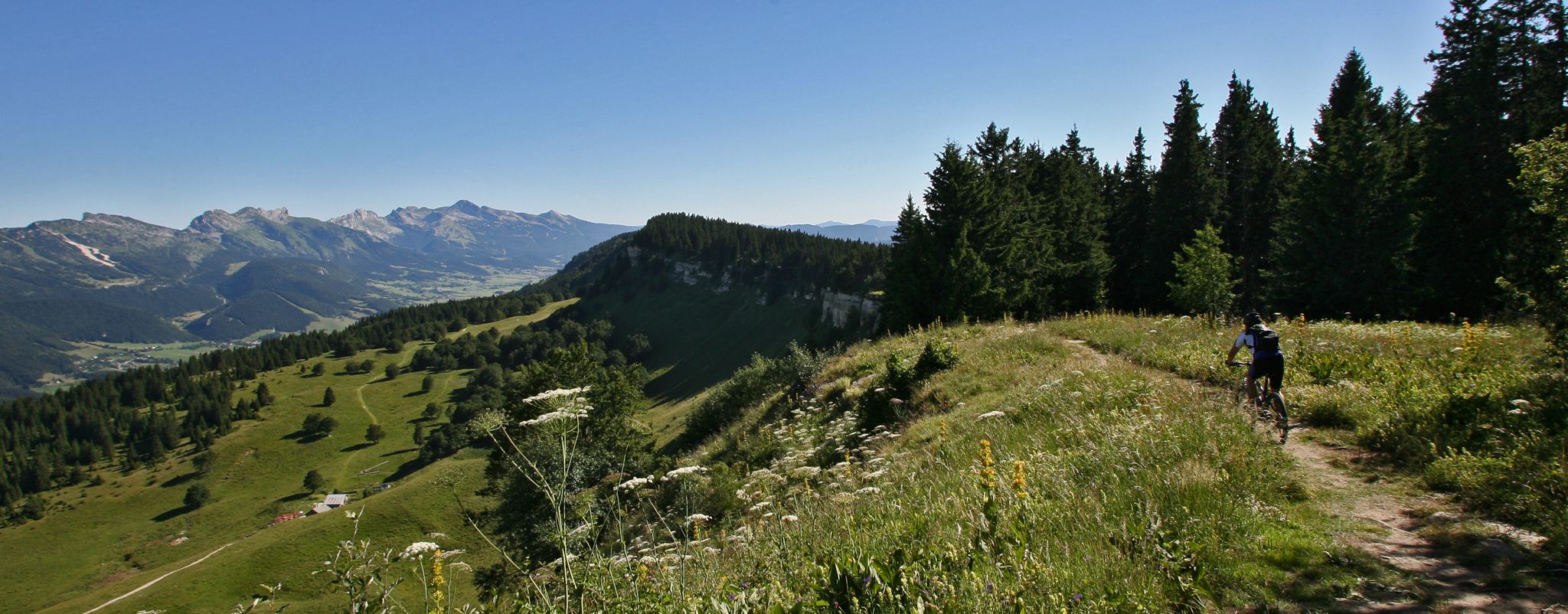
Legendary MTB routes in the bike paradise of Vercors Isère
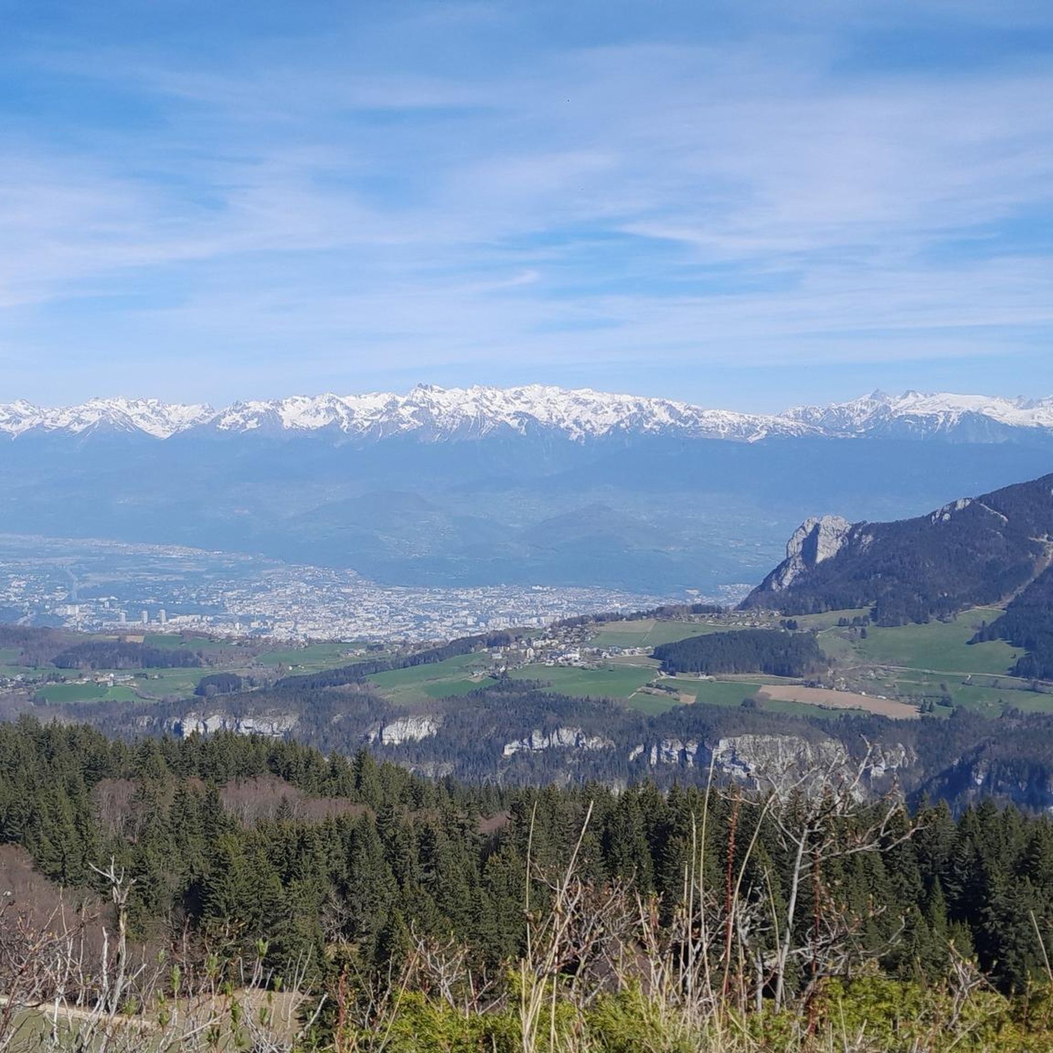
MTB Trails around Autrans-Méaudre-En-Vercors
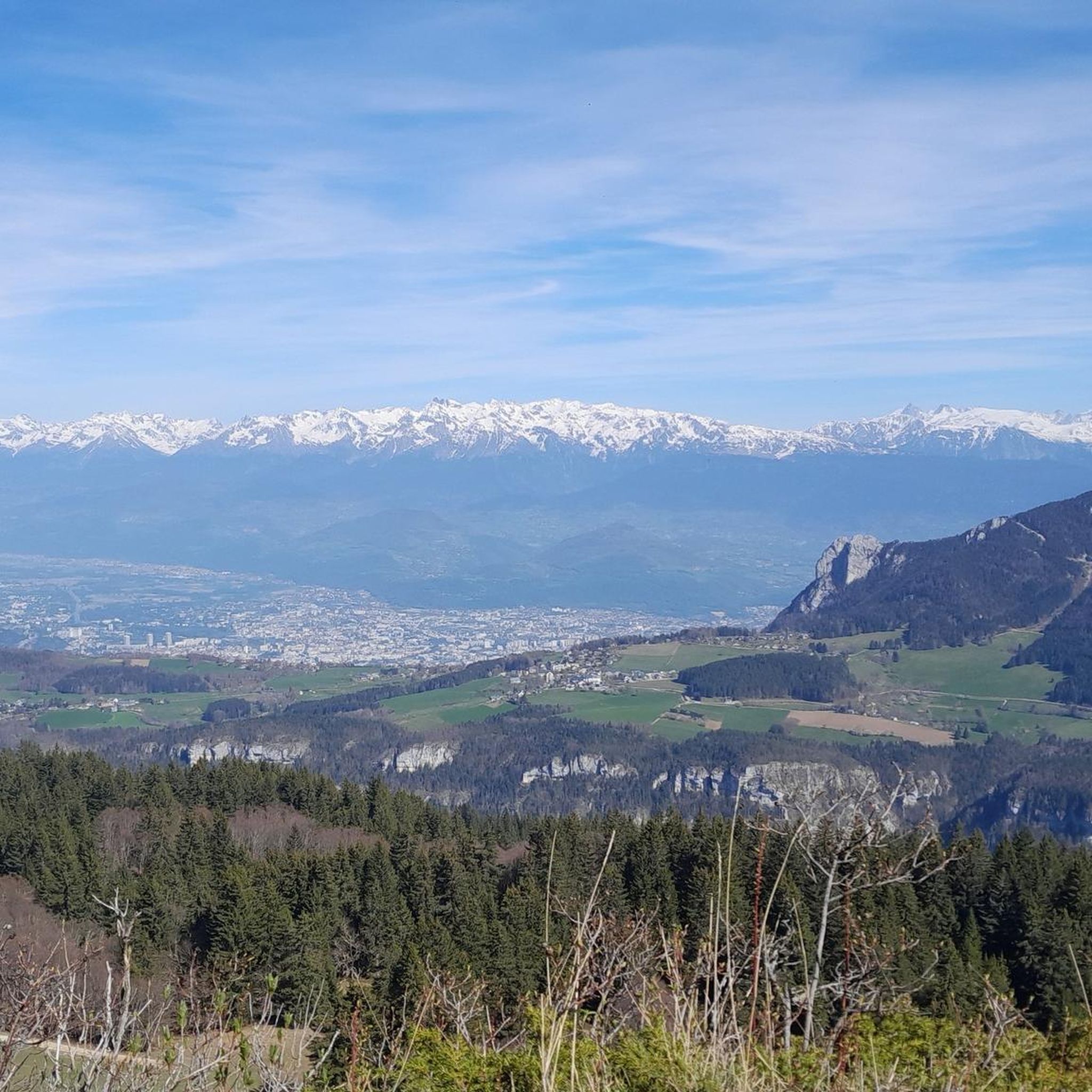
Hiking around Autrans-Méaudre-En-Vercors
Cycling around Autrans-Méaudre-En-Vercors
Running Trails around Autrans-Méaudre-En-Vercors
Other adventures around Autrans-Méaudre-En-Vercors


Tips from the Community


Magnificent view from the summit over Belledonne, Les Rousses, and in the background, Les Écrins. The ridge separating the Gresse valley and the Lans-en-Vercors plateau.
0
0

This hike offers superb panoramas and the arrival at Pic Saint-Michel, if you go clockwise, reveals a breathtaking view of the valley.
0
1
From the top of the Col Vert you can enjoy an exceptional view of the Vercors massif and Grenoble.
0
0

here you can take a breather before climbing
0
0

Magnificent viewpoint, reachable without great technical difficulty. There is a difference in altitude of course!
1
0

Excellent hike with views of the Belledonne mountains and, if the weather is good, Mont Blanc. The climb to the Moucherotte is not particularly demanding, but the hike is very scenic and the view from the summit is a highlight. On the way down, you can take a detour over the dilapidated ski jump from the 1968 Olympics.
2
0

Located near Grenoble, Pic Saint-Michel is a 1,966 meter peak in the Vercors massif, renowned for its accessible trails and panoramic views. This site attracts outdoor enthusiasts with its well-maintained trails and rich biodiversity. Offering an exceptional panorama of the Isère valley, it represents a privileged destination for a nature getaway for all levels of sporting activity.
1
1
Frequently Asked Questions
What is the overall difficulty level of mountaineering routes in Autrans-Méaudre-En-Vercors?
The mountaineering routes in Autrans-Méaudre-En-Vercors cater to a range of abilities. You'll find a good selection of moderate routes, with 11 available, and for those seeking more challenge, there are 5 difficult routes to explore. The diverse terrain, including dramatic cliffs and plateaus, offers varied experiences for all skill levels.
Are there any circular mountaineering routes in the Autrans-Méaudre-En-Vercors area?
Yes, the region offers several excellent circular mountaineering routes. For a moderate option, consider the Pic Saint-Michel (1966 m) – Arc Pass loop from Parking des Barnets, which takes about 3.5 hours. Another popular choice is the Col Vert loop from Piste olympique de luge de Villard-de-Lans, a moderate trail often completed in under 5 hours.
What kind of landmarks or natural features can I expect to see on these mountaineering routes?
Autrans-Méaudre-En-Vercors is rich in natural beauty and offers stunning landmarks. Many routes provide views of the Vercors mountain range, with its impressive cliffs and plateaus. You might encounter prominent peaks like Saint-Michel Peak or The Moucherotte Summit. Other notable features include the Arc Pass and the panoramic views from La Molière Alpine Pasture.
What do other mountaineers say about the routes in Autrans-Méaudre-En-Vercors?
The routes in Autrans-Méaudre-En-Vercors are highly regarded by the komoot community, boasting an average rating of 4.8 stars from over 20 reviews. Mountaineers often praise the diverse terrain, the challenging climbs, and the rewarding vistas, making it a popular destination for outdoor enthusiasts.
Are there any particularly challenging mountaineering routes for experienced climbers?
Yes, for experienced mountaineers seeking a challenge, Autrans-Méaudre-En-Vercors offers several difficult routes. A notable option is the Saint-Nizier-du-Moucherotte – Saint-Nizier-du-Moucherotte loop from Saint-Nizier-du-Moucherotte, which ascends through varied and demanding terrain. Another difficult route is the View – The Moucherotte Summit loop from Montagnes de Lans Station, offering challenging climbs and rewarding views.
What is the best time of year for mountaineering in Autrans-Méaudre-En-Vercors?
The Vercors region offers outdoor activities year-round. While the area is known as a 'Mecca of Nordic Skiing' in winter, the warmer months are generally ideal for mountaineering. Spring, summer, and early autumn provide more stable weather conditions and accessible trails, allowing you to fully enjoy the mountain peaks and passes.
Are there any moderate mountaineering routes that offer significant elevation gain?
Absolutely. Many moderate routes in Autrans-Méaudre-En-Vercors still provide a good workout and impressive elevation. For example, the Pic Saint-Michel (1966 m) – Arc Pass loop from Parking des Barnets is a moderate route with over 600 meters of elevation gain, offering panoramic views as a reward for your efforts.
Can I find multi-day mountaineering options or longer expeditions in this region?
While the listed routes are primarily day trips, the extensive Vercors mountain range and its diverse terrain lend themselves to longer expeditions. The presence of mountain passes and varied landscapes suggests that multi-day treks could be planned by linking several routes or exploring the wider network of trails within the Vercors Regional Nature Park. Consider routes like the Auberge des Allières – Pic Saint-Michel (1966 m) loop from Parking des Barnets as part of a larger itinerary.
What kind of terrain should I expect on the mountaineering routes?
The terrain in Autrans-Méaudre-En-Vercors is highly diverse, characteristic of the Vercors mountain range. You can expect a mix of mountain peaks, passes, and plateaus. The routes often feature dramatic cliffs, forests, and varied ground, providing a robust setting for technical outdoor pursuits. Be prepared for significant elevation changes and rocky sections.
How long do mountaineering routes typically take in Autrans-Méaudre-En-Vercors?
The duration of mountaineering routes varies depending on their length and difficulty. For instance, a moderate route like the Pic Saint-Michel (1966 m) – Arc Pass loop from Parking des Barnets typically takes around 3 hours and 30 minutes. More challenging routes, such as the Saint-Nizier-du-Moucherotte – Saint-Nizier-du-Moucherotte loop from Saint-Nizier-du-Moucherotte, can take closer to 4 hours.
Most popular routes around Autrans-Méaudre-En-Vercors
Most popular attractions around Autrans-Méaudre-En-Vercors

Get inspired with the komoot mobile app


Explore more
Browse the best Mountain Hikes & Routes in other regions.
