The best walks and hikes around Chalmazel-Jeansagnière
4.5
(151)
1,068
hikers
74
hikes
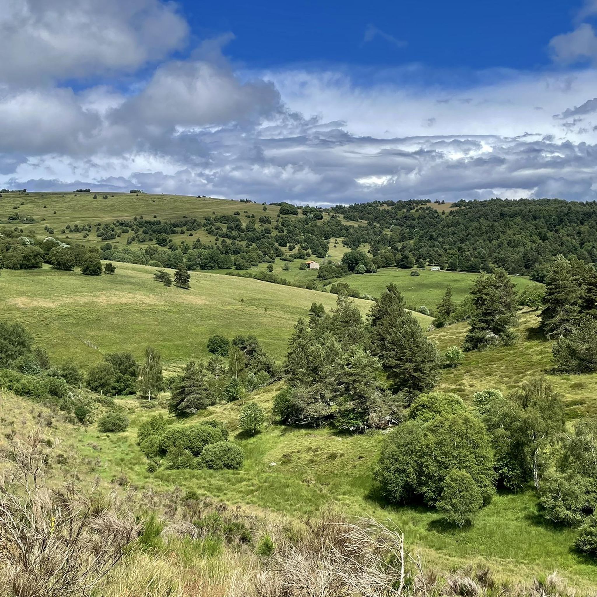
Hiking around Chalmazel-Jeansagnière offers access to the Forez mountains, characterized by elevated passes, prominent summits, and varied terrain. The region features a mix of open landscapes and forested sections, providing diverse hiking experiences. Trails often lead to panoramic viewpoints across the surrounding natural environment. This area is suitable for exploring the natural features of the Massif Central.
Best hiking trails around Chalmazel-Jeansagnière
- The most popular hiking route is Béal Pass – Summit of Peyre Mayou loop from Chalmazel, a…
Last updated: August 18, 2026
4.7
(12)
56
hikers
11.8km
03:44
470m
470m
Moderate hike. Good fitness required. Easily-accessible paths. Suitable for all skill levels.
4.7
(11)
59
hikers
15.5km
04:40
510m
510m
Moderate hike. Good fitness required. Easily-accessible paths. Suitable for all skill levels.

Sign up for free
4.6
(8)
39
hikers
6.32km
01:53
190m
190m
Easy hike. Great for any fitness level. Easily-accessible paths. Suitable for all skill levels.
4.5
(2)
24
hikers
18.7km
05:42
660m
650m
Hard hike. Very good fitness required. Easily-accessible paths. Suitable for all skill levels.
4.3
(4)
11
hikers
6.92km
02:02
210m
210m
Moderate hike. Good fitness required. Easily-accessible paths. Suitable for all skill levels.
Get access to more routes and recommendations from other explorers.
Sign up for free
Already have an account?
Our route recommendations are based on thousands of hikes, rides, and runs completed by other people on komoot.
Start today with a free account
Your next adventure awaits.
Login or Signup
Popular around Chalmazel-Jeansagnière
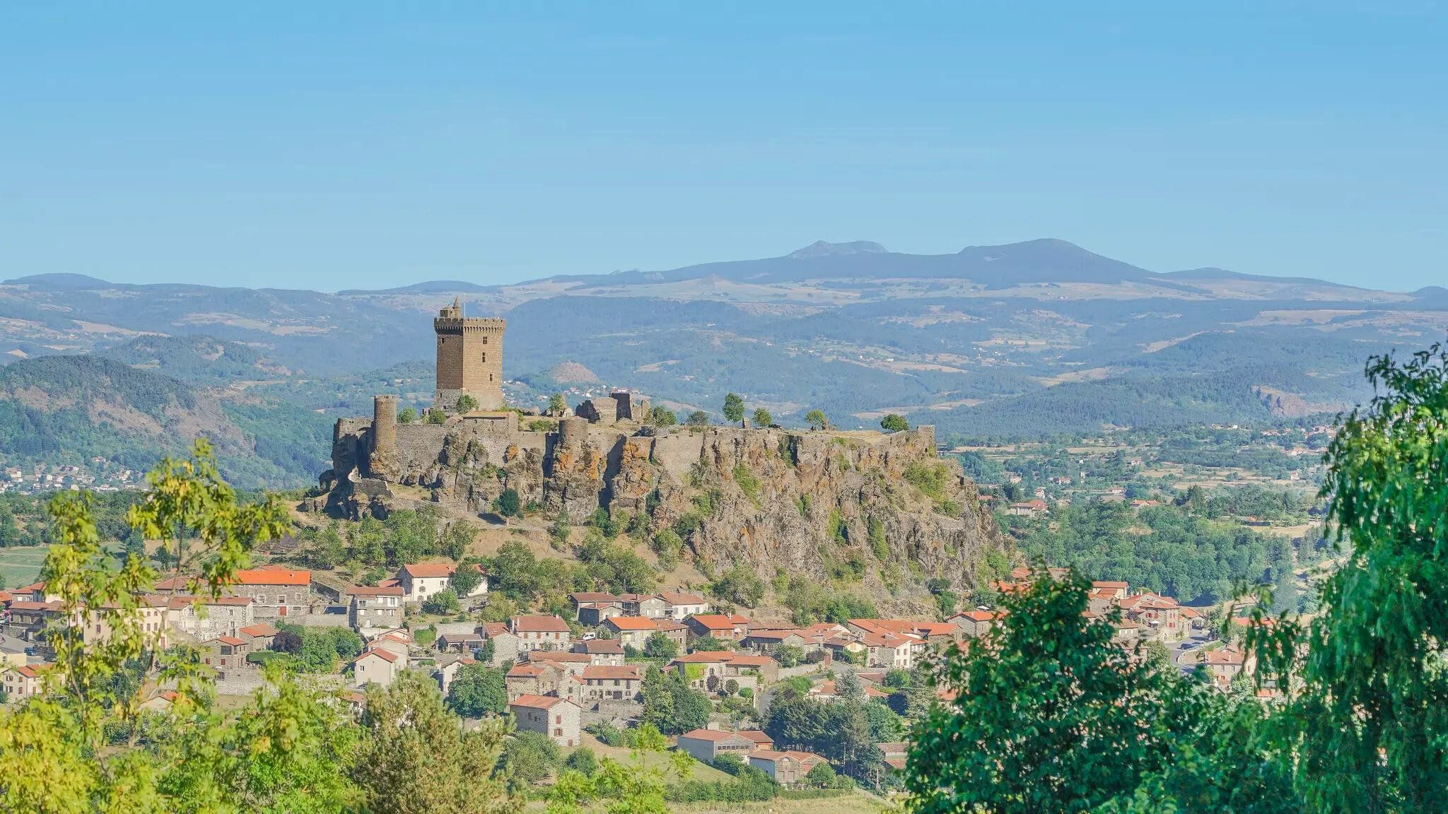
The Loire from ocean to source – GR 3 between Chabreloche and Puy-en-Velay
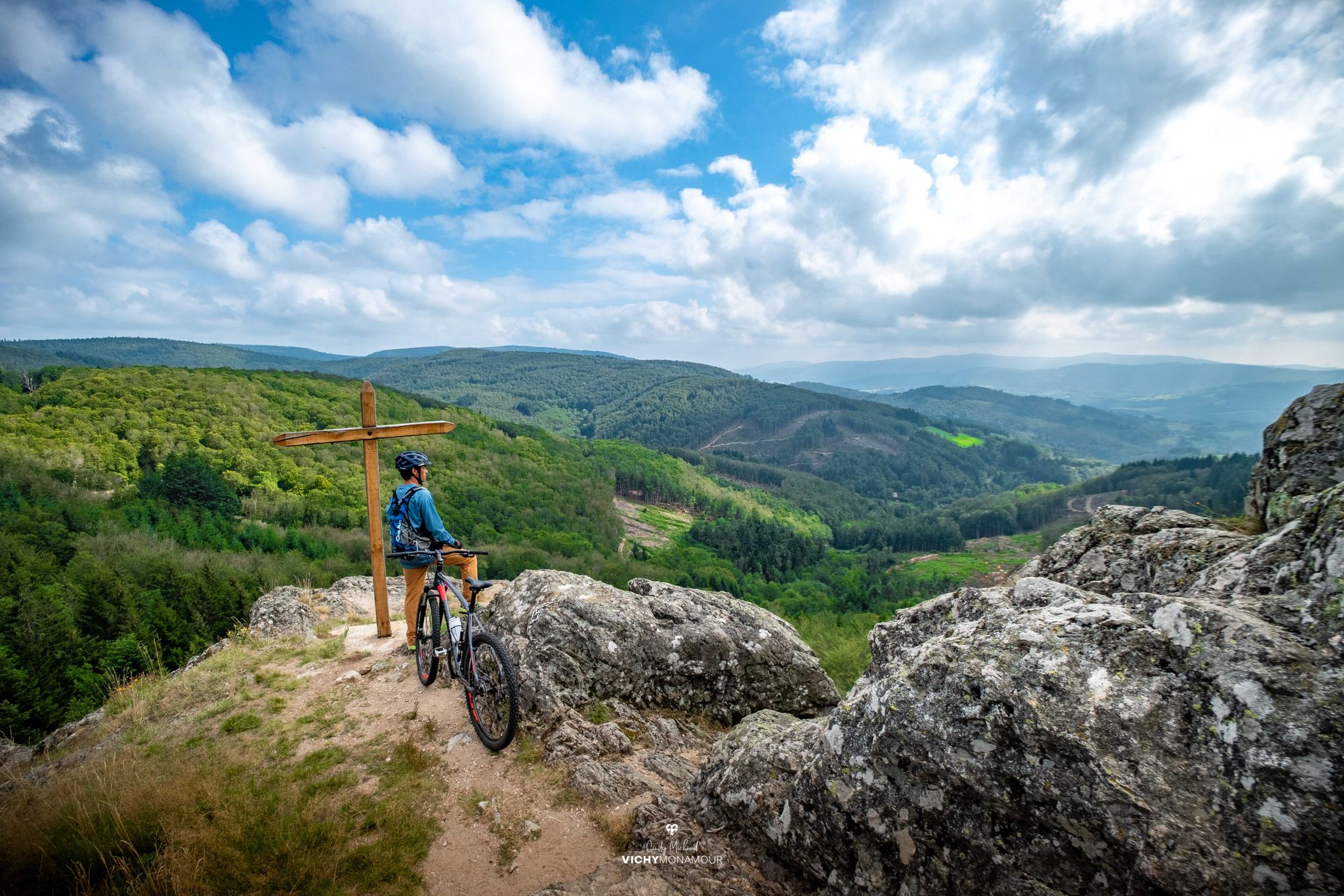
Destination Grand'R — the largest FFC-MTB area in France
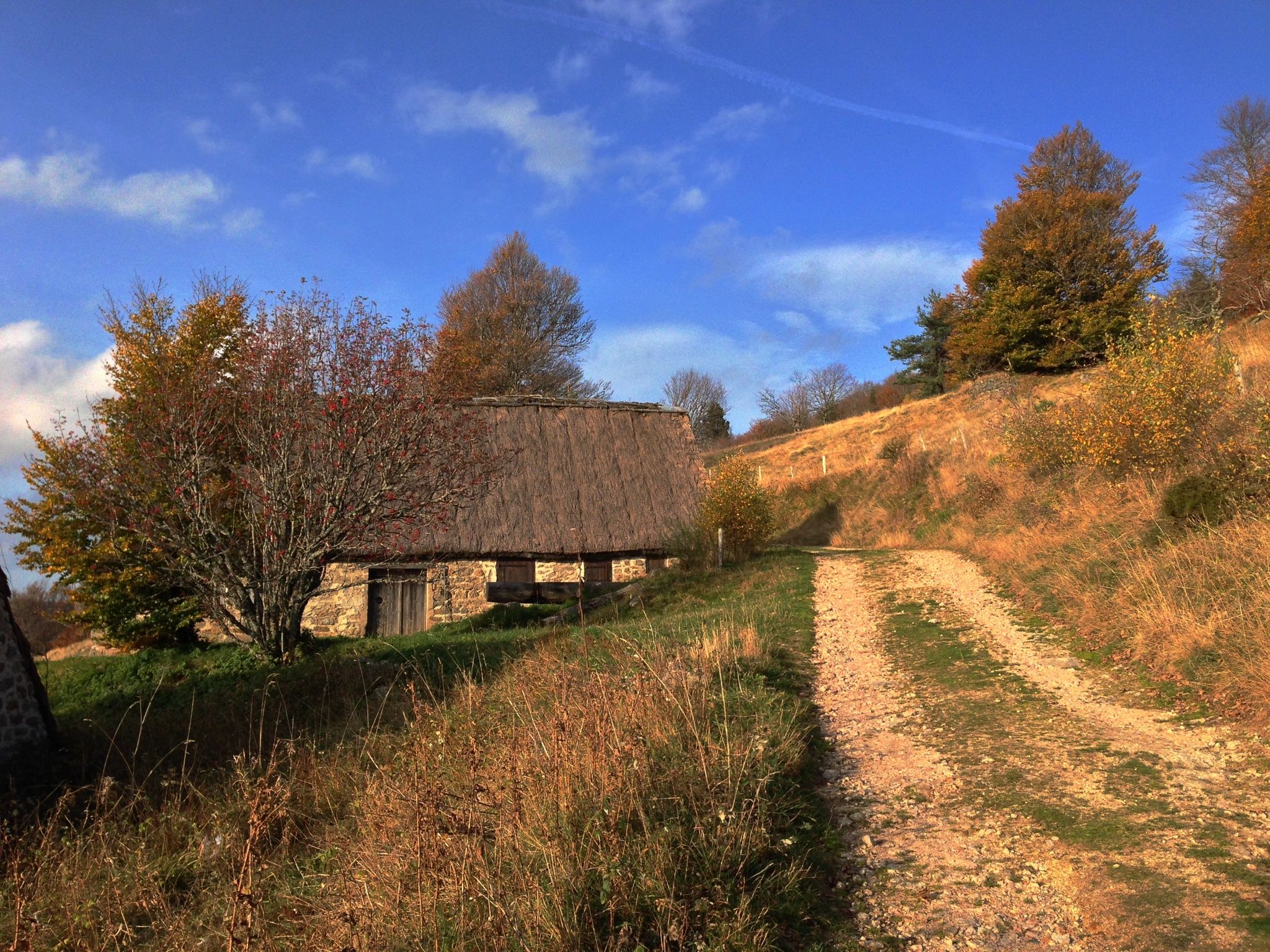
Local produce and traditions – Tour of the Livradois-Forez by MTB
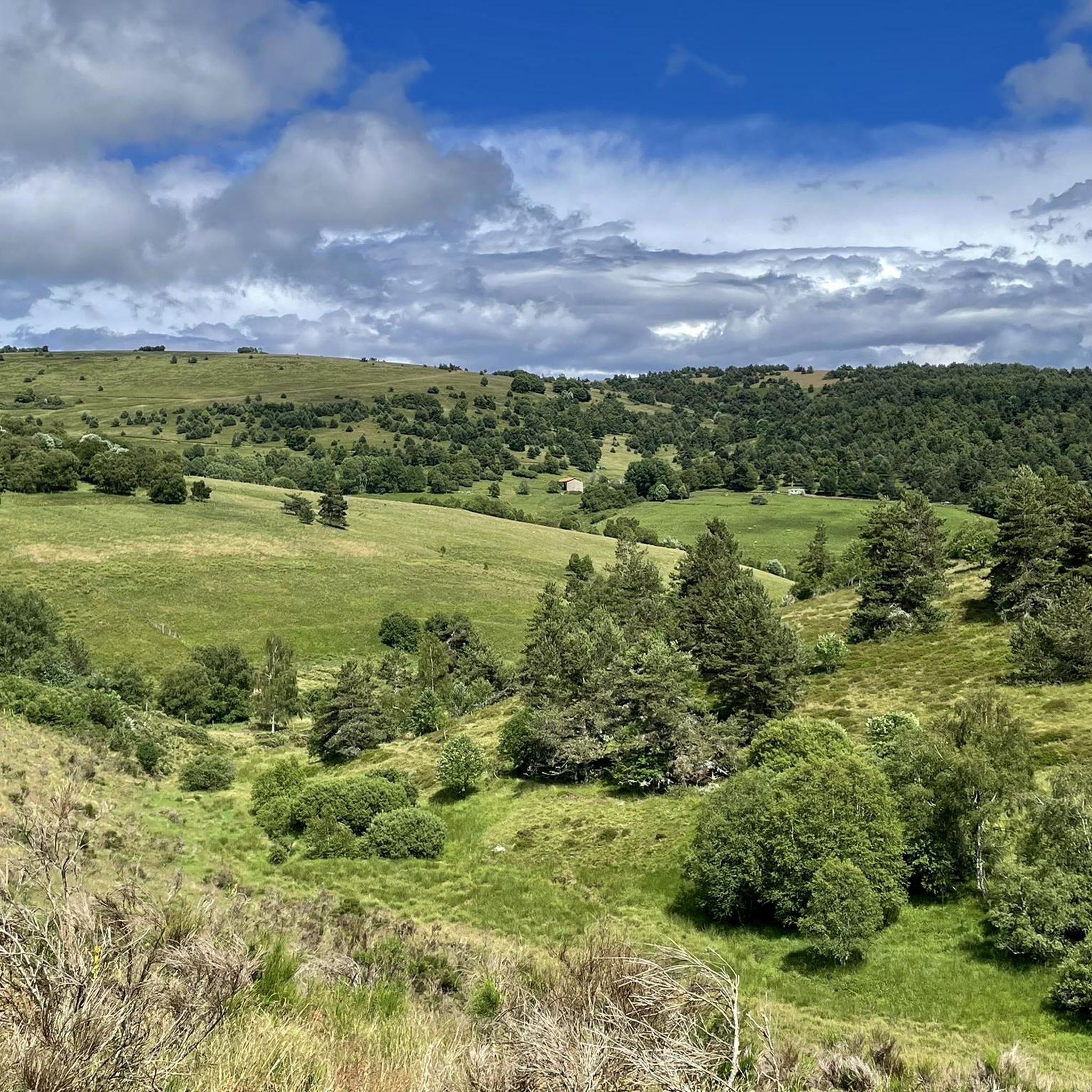
MTB Trails around Chalmazel-Jeansagnière
Running Trails around Chalmazel-Jeansagnière
Road Cycling Routes around Chalmazel-Jeansagnière
Cycling around Chalmazel-Jeansagnière

Gravel biking around Chalmazel-Jeansagnière
Other adventures around Chalmazel-Jeansagnière


Tips from the Community


This path lives up to its name, especially in spring when the meadows it crosses are adorned with their most beautiful colors.
0
0

A breathtaking view that is worth the effort and wild landscapes! What a natural spectacle, wow! Undeniably one of the places not to be missed in Auvergne.
1
0

I have been cycling this route for over 40 years and I never get tired of it.
0
0

One of the most beautiful passes in Forez, a most pleasant climb whatever the slope! And the descent is also pleasant. If you are in Gravel, there is a junction which allows you to reach the Col du Béal and which is magnificent. Otherwise you can go ski touring, snowshoeing and cross-country skiing in winter or hike while stuffing yourself with blueberries in summer! Enjoy and for more advice follow us on Komoot or Instagram @chouchou_team
2
0

The highest point of the Forez mountains, Pierre-sur-Haute rises to an altitude of 1,634 meters. At the summit, terrestrial and military broadcasting antennas were erected by NATO during the Cold War. They are still in operation today.
0
0
The Col de la Loge peaks at an altitude of 1,253 meters. In winter, it is the gateway to long and beautiful cross-country ski trails which head towards the heart of Livradois-Forez. In summer, hikers take it to enjoy the serenity of the woods that populate the surrounding area.
0
0

This is the highest point of the Monts du Drill, a few minutes from the Col du Beal, it offers a 360° panorama of the entire region.
1
0
Frequently Asked Questions
How many hiking trails are available in Chalmazel-Jeansagnière?
There are over 60 hiking routes recorded in Chalmazel-Jeansagnière on komoot. These include a mix of easy, moderate, and difficult trails, offering diverse options for all skill levels.
What types of terrain can I expect on hikes in Chalmazel-Jeansagnière?
The region is part of the Forez mountains, so you can expect varied terrain including elevated passes, prominent summits, and a mix of open landscapes and forested sections. Trails often provide panoramic viewpoints across the natural environment.
Are there any easy hiking trails suitable for beginners or families?
Yes, Chalmazel-Jeansagnière offers 21 easy hiking routes. While specific family-friendly routes aren't detailed, these easier options are generally suitable for those looking for less strenuous walks. Always check the route details for elevation and distance to ensure it meets your family's needs.
Can I find challenging hikes in Chalmazel-Jeansagnière?
Absolutely. There are 13 difficult hiking routes in the area for experienced hikers. For example, the Pierre–sur–Haute – Pierre-sur-Haute loop from Chalmazel is a challenging 19.6 km (12.2 mi) trail with significant elevation gain.
What are the typical durations for hikes in this region?
Hike durations vary widely depending on the route's length and difficulty. For instance, the Summit of Peyre Mayou – Béal Pass loop from Col du Béal can be completed in about 2 hours, while longer routes like the View of Chalmazel – Béal Pass loop from Chalmazel-Jeansagnière can take over 5 hours.
Are there any circular hiking routes in Chalmazel-Jeansagnière?
Many of the trails in Chalmazel-Jeansagnière are circular routes, allowing you to start and end at the same point. A popular example is the Pierre-sur-Haute – Station de ski de chalmazel loop from Chalmazel, which explores high-altitude landscapes.
What interesting landmarks or natural features can I see along the trails?
The region is rich in mountain passes and natural features. You can explore highlights such as Col des Supeyres, Béal Pass, and Col de la Loge. There are also huts like the Jasserie du Coq Noir that offer points of interest.
What do other hikers say about the trails in Chalmazel-Jeansagnière?
The trails in Chalmazel-Jeansagnière are highly regarded by the komoot community, with an average rating of 4.6 stars from over 100 reviews. Hikers often praise the varied mountain landscapes and the well-maintained paths that lead to panoramic views.
Is Chalmazel-Jeansagnière a good destination for winter hiking?
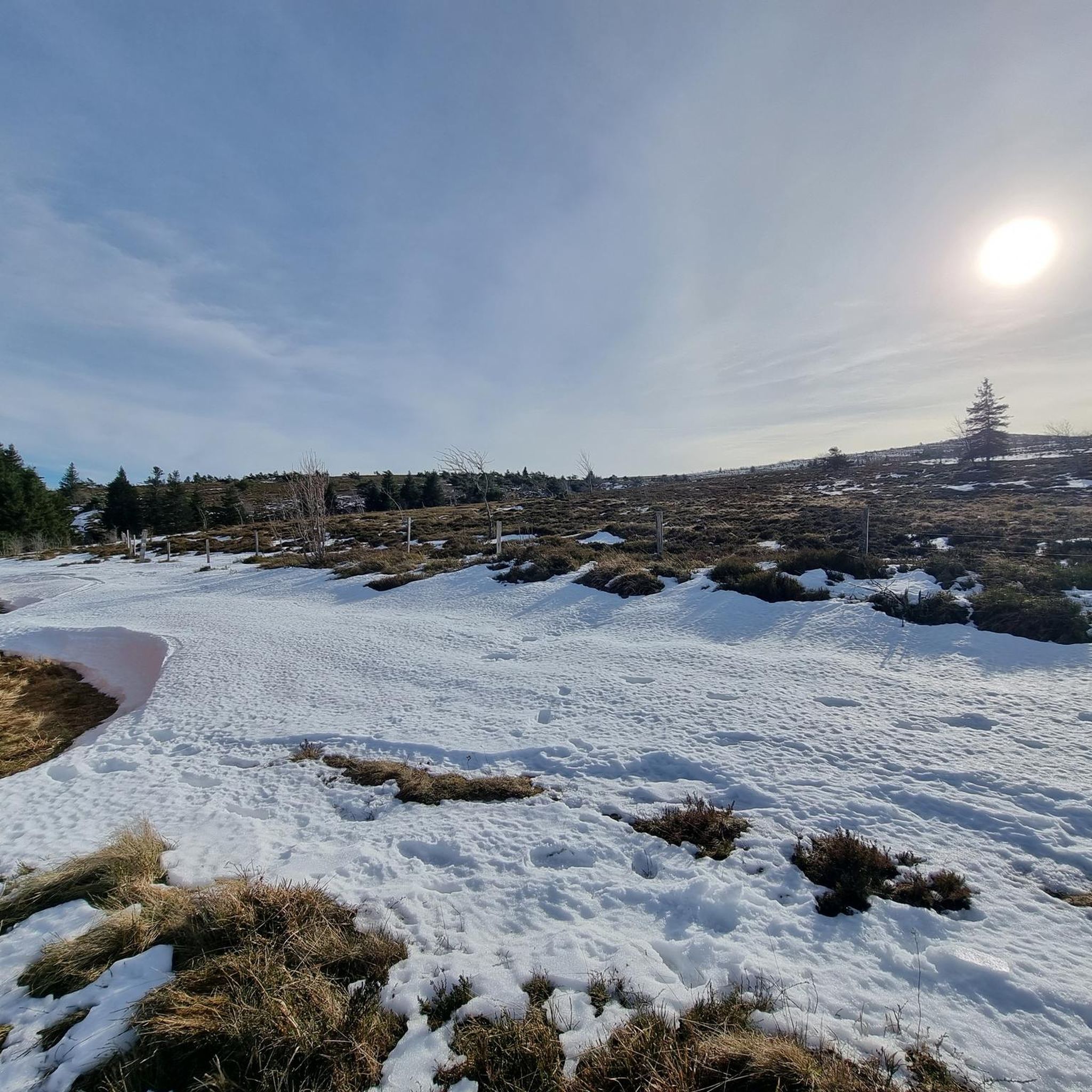
While the region is known for its ski station, winter hiking can be challenging due to snow and ice, especially at higher elevations like Pierre-sur-Haute. It's best to check local conditions and trail accessibility before planning a winter hike, and ensure you have appropriate gear.
Are dogs allowed on the hiking trails in Chalmazel-Jeansagnière?
Generally, dogs are welcome on hiking trails in the Forez mountains, but it's always advisable to keep them on a leash, especially in areas with livestock or protected wildlife. Please respect local regulations and clean up after your pet.
When is the best season to go hiking in Chalmazel-Jeansagnière?
The best seasons for hiking in Chalmazel-Jeansagnière are typically spring, summer, and early autumn. During these months, the weather is generally milder, and the trails are more accessible. Autumn offers beautiful foliage, while spring brings blooming wildflowers.
Where can I find parking for the hiking trails?
Parking is generally available at key starting points for many trails, such as near the Chalmazel ski station or at mountain passes like Col du Béal. Specific parking information is often detailed within individual route descriptions on komoot.
Most popular routes around Chalmazel-Jeansagnière
Most popular attractions around Chalmazel-Jeansagnière

Get inspired with the komoot mobile app


Explore more
Browse the best Hikes in other regions.
