The best running trails around Condé-En-Normandie
4.6
(113)
6,127
runners
55
runs
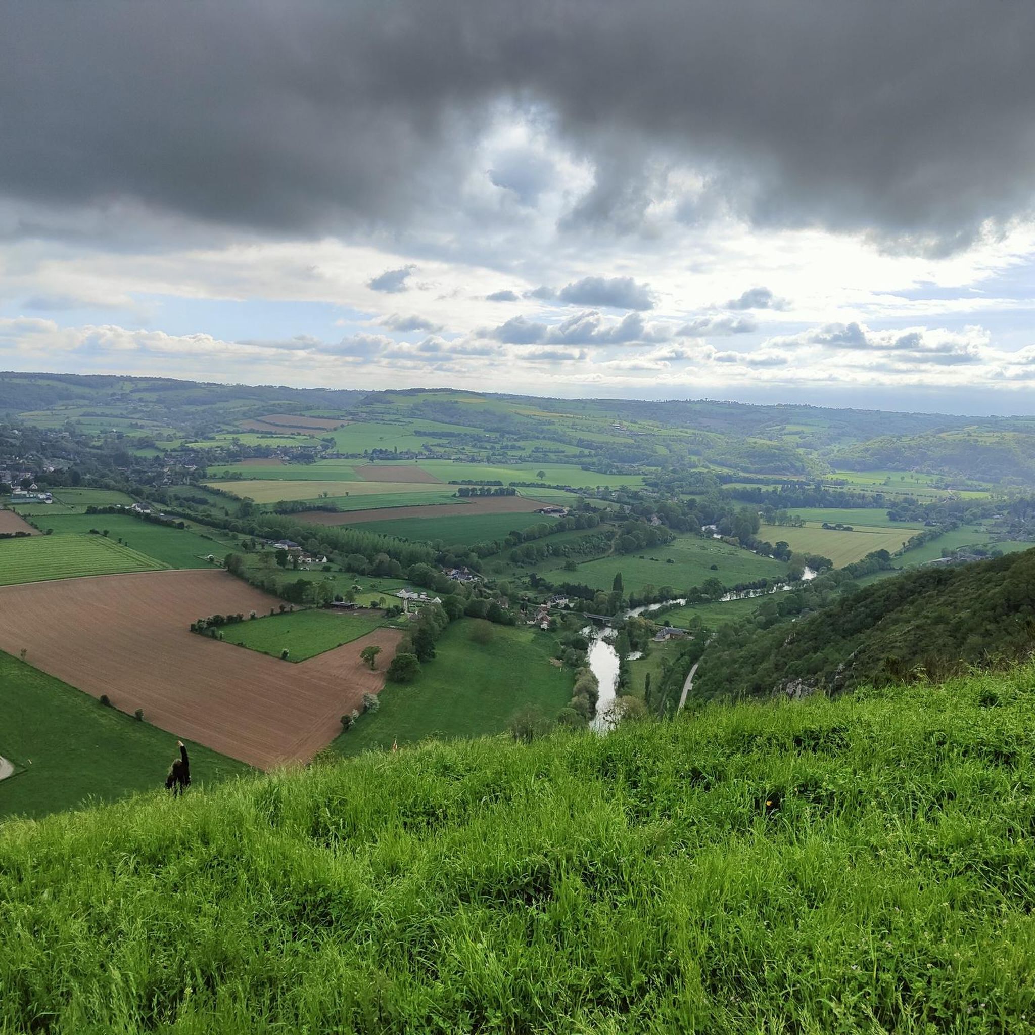
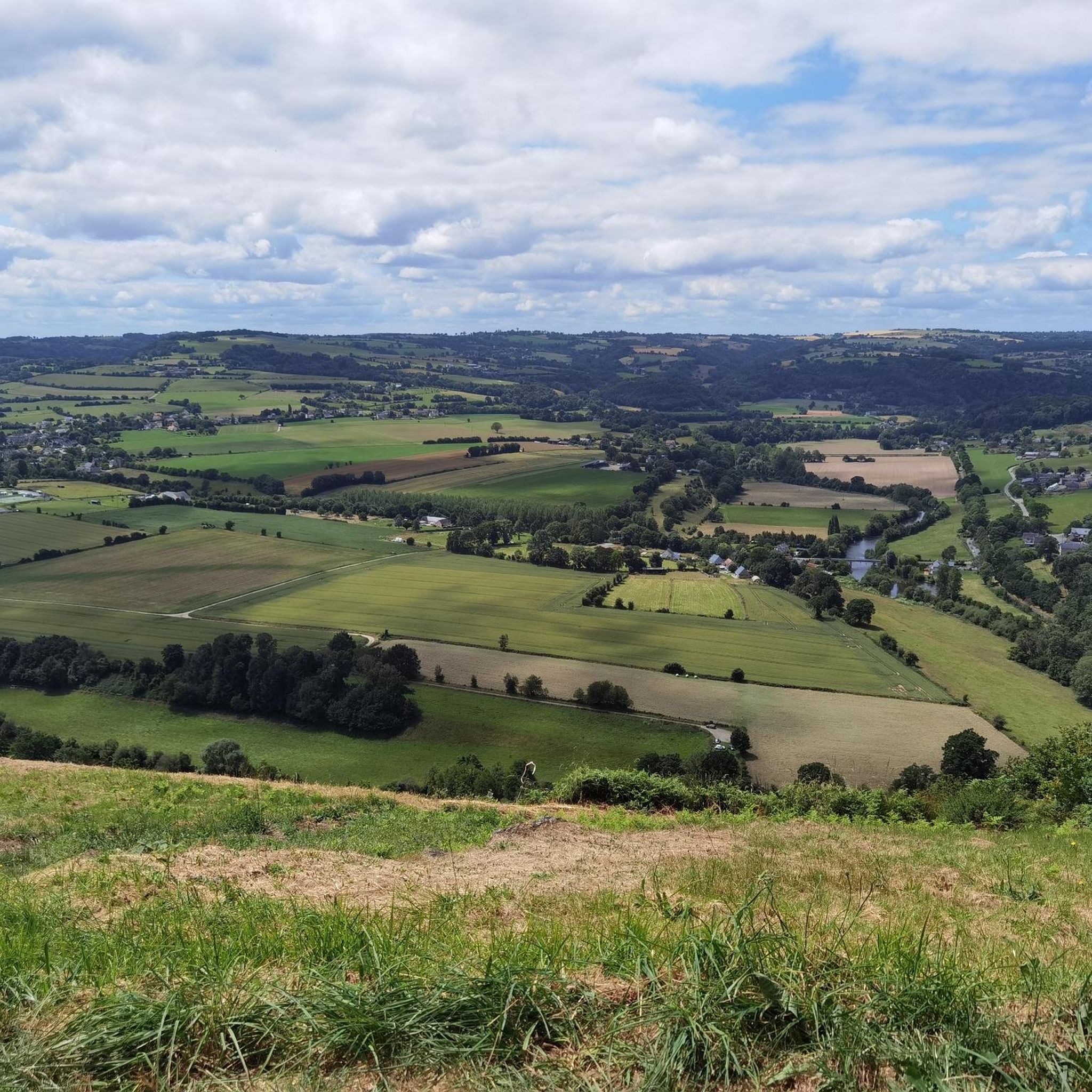
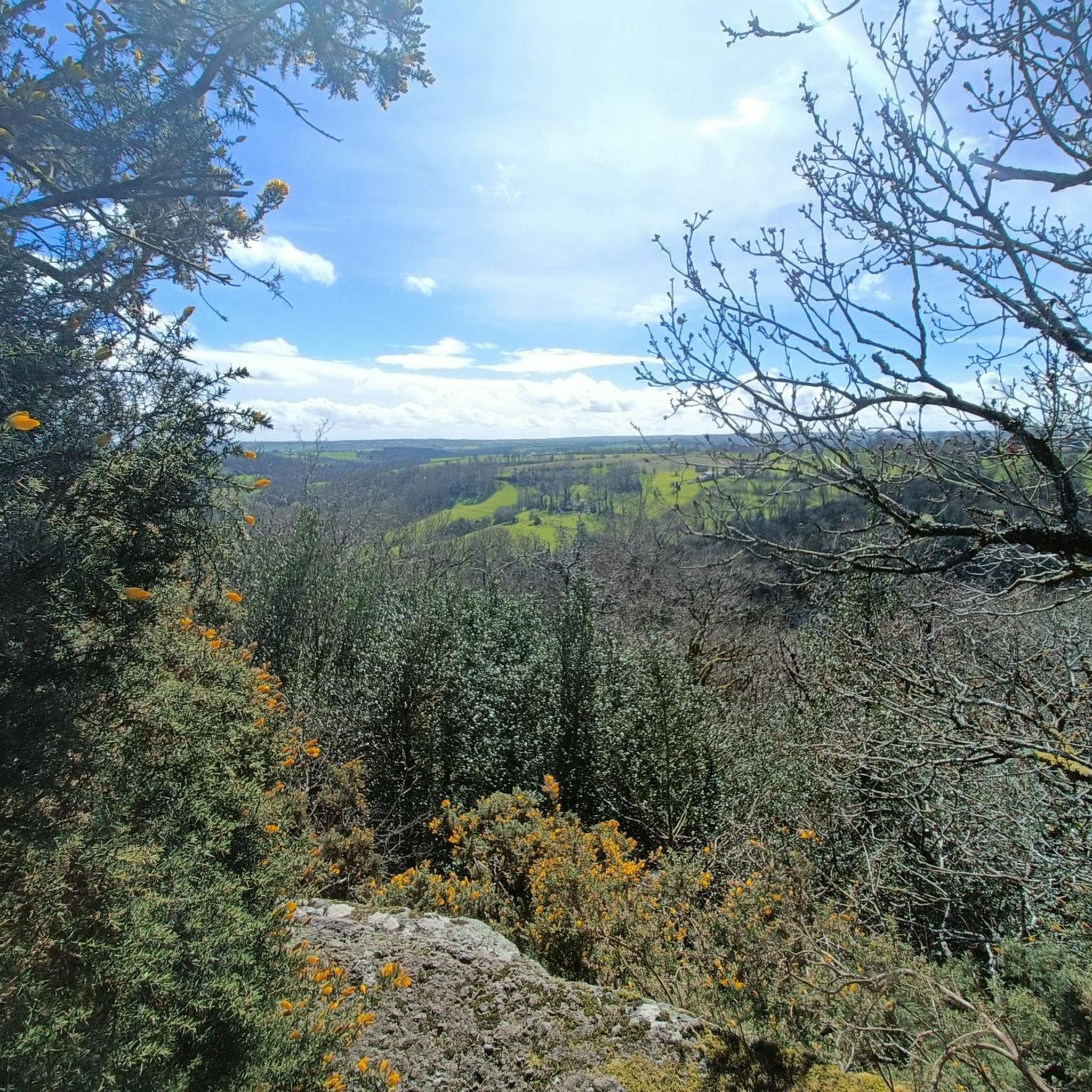
Jogging around Condé-En-Normandie offers routes through the hilly and verdant terrain of Suisse Normande, characterized by valleys, rivers, and rocky outcrops. The region features natural sites like the Rochers des Parcs, known for their escarpments and diverse ecosystems, and Mont Pinçon, the highest point in Calvados. Jogging routes often follow the banks of the Druance River or traverse the varied landscapes, providing diverse options for runners.
Best jogging routes around Condé-En-Normandie
- The most popular jogging route is Pontecoulant Castle loop…
Last updated: July 5, 2026
5.0
(1)
194
runners
29.2km
03:41
670m
670m
Hard run. Very good fitness required. Mostly paved surfaces. Suitable for all skill levels.
4.5
(2)
19
runners
8.58km
00:58
70m
70m
Moderate run. Good fitness required. Mostly paved surfaces. Suitable for all skill levels.

Sign up for free
5
runners
26.0km
03:14
560m
560m
Hard run. Very good fitness required. Mostly paved surfaces. Suitable for all skill levels.
4
runners
9.08km
01:03
110m
110m
Moderate run. Good fitness required. Mostly paved surfaces. Suitable for all skill levels.
5
runners
18.2km
02:12
320m
320m
Hard run. Very good fitness required. Mostly paved surfaces. Suitable for all skill levels.
Get access to more routes and recommendations from other explorers.
Sign up for free
Already have an account?
Our route recommendations are based on thousands of hikes, rides, and runs completed by other people on komoot.
Start today with a free account
Your next adventure awaits.
Login or Signup

Tips from the Community

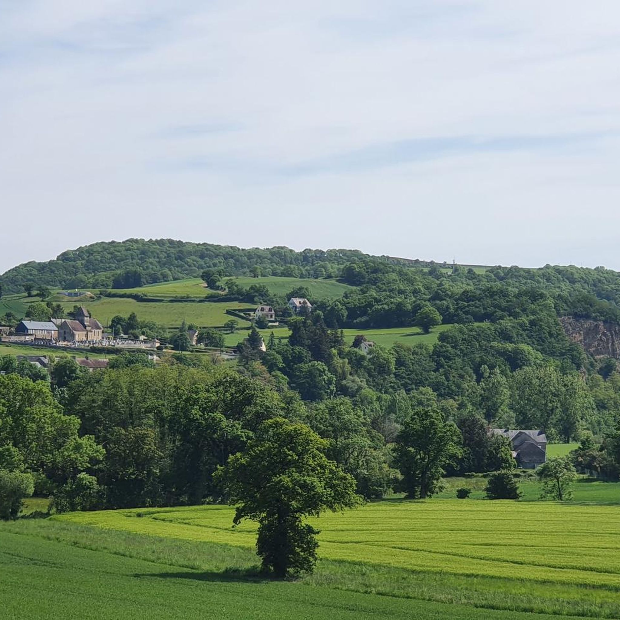
The estate, nestled between the bocage countryside and the Suisse Normande region, has belonged to the Calvados department since 1896. The château, gamekeeper's and gardener's lodges, dovecote, farmhouse, woods, and lands all bear witness to its noble past. A museum also allows visitors to discover the furniture, as well as family heirlooms and decorative objects that bring the Pontécoulant family history to life.
0
0

16th century castle listed as historical monuments. Reorganized into a museum, it is possible to visit and enjoy a tea room. The estate also includes landscaped gardens. On the north face is a picnic area with a view of the castle.
0
0
Frequently Asked Questions
How many running routes are available in Condé-En-Normandie?
There are over 260 running routes around Condé-En-Normandie, offering a wide variety of options for different preferences and fitness levels. These routes traverse the beautiful, hilly, and verdant terrain of Suisse Normande.
What kind of terrain can I expect on the jogging trails around Condé-En-Normandie?
Jogging trails in Condé-En-Normandie are characterized by the picturesque 'Suisse Normande' landscape, featuring hilly and verdant terrain, river valleys, and rocky outcrops. You'll find a mix of paths along rivers like the Druance, challenging ascents to viewpoints like Mont Pinçon, and trails through diverse ecosystems such as those found at the Rochers des Parcs.
Are there running options for different fitness levels?
Yes, the region offers a variety of running routes suitable for different fitness levels. You can find over 15 easy routes for a gentle jog, more than 180 moderate paths, and around 70 difficult trails for those seeking a more challenging workout with significant elevation changes.
What natural landmarks can I see while running in Suisse Normande?
While running in Suisse Normande, you can encounter several notable natural landmarks. These include the dramatic Rochers des Parcs, known for their rocky escarpments and diverse ecosystems, and Mont Pinçon, the highest point in Calvados, offering magnificent panoramic views. Many routes also follow the scenic banks of the Druance River.
Are there any historical sites or points of interest near the running paths?
Yes, the area around Condé-En-Normandie features several historical sites and points of interest. You might pass by impressive structures like Château d'Harcourt or the Clécy Viaduct. The region's rich history is often intertwined with its natural beauty, providing interesting sights along your run.
What do other runners say about the trails in Condé-En-Normandie?
The running routes in Condé-En-Normandie are highly rated by the komoot community, with an average score of 4.5 stars from over 100 reviews. More than 6,000 runners have used komoot to explore the varied terrain, often praising the scenic landscapes, diverse challenges, and well-maintained paths.
Are there any family-friendly jogging routes in the area?
For families, the Greenway of Suisse Normande, starting from Clécy, offers a relatively flat and protected path suitable for various activities, including jogging. This route is ideal for a more relaxed and accessible experience with children.
Can I bring my dog on the running trails?
Generally, dogs are welcome on many outdoor trails in the region, especially in natural areas. However, it's always recommended to keep your dog on a leash and be mindful of local regulations, especially in sensitive natural areas like the Rochers des Parcs, to protect wildlife and ensure a pleasant experience for everyone.
Are there circular running routes available in Condé-En-Normandie?
Yes, many of the running routes in Condé-En-Normandie are designed as circular loops, allowing you to start and finish at the same point. For example, the Running loop from Condé-sur-Noireau is a popular moderate option that provides a scenic run through the local landscape.
Are there any running routes that offer panoramic views?
Absolutely! The region is known for its dramatic landscapes. Routes that ascend to higher elevations, such as those around Mont Pinçon, the highest point in Calvados, or trails along the Rochers des Parcs, will reward you with stunning panoramic views of the Suisse Normande valleys and beyond.
What is a good moderate-difficulty running route in the area?
A great moderate-difficulty option is the Running loop from Saint-Germain-du-Crioult. This 5.6-mile (9.1 km) trail leads through verdant landscapes and hilly terrain, typically completed in about an hour and three minutes, offering a rewarding run without being overly strenuous.
Are there any longer, more challenging running trails for experienced runners?
For experienced runners seeking a challenge, the region offers several difficult routes. One notable option is the Pontecoulant Castle loop from Condé-sur-Noireau. This 17.0-mile (27.3 km) trail features varied terrain and significant elevation gain, taking over three hours to complete while offering views of the castle.
Most popular routes around Condé-En-Normandie
Most popular attractions around Condé-En-Normandie

Get inspired with the komoot mobile app


Explore more
Browse the best Running Trails & Routes in other regions.
