The best walks and hikes around Les Premiers-Sapins
4.6
(771)
3,859
hikers
137
hikes
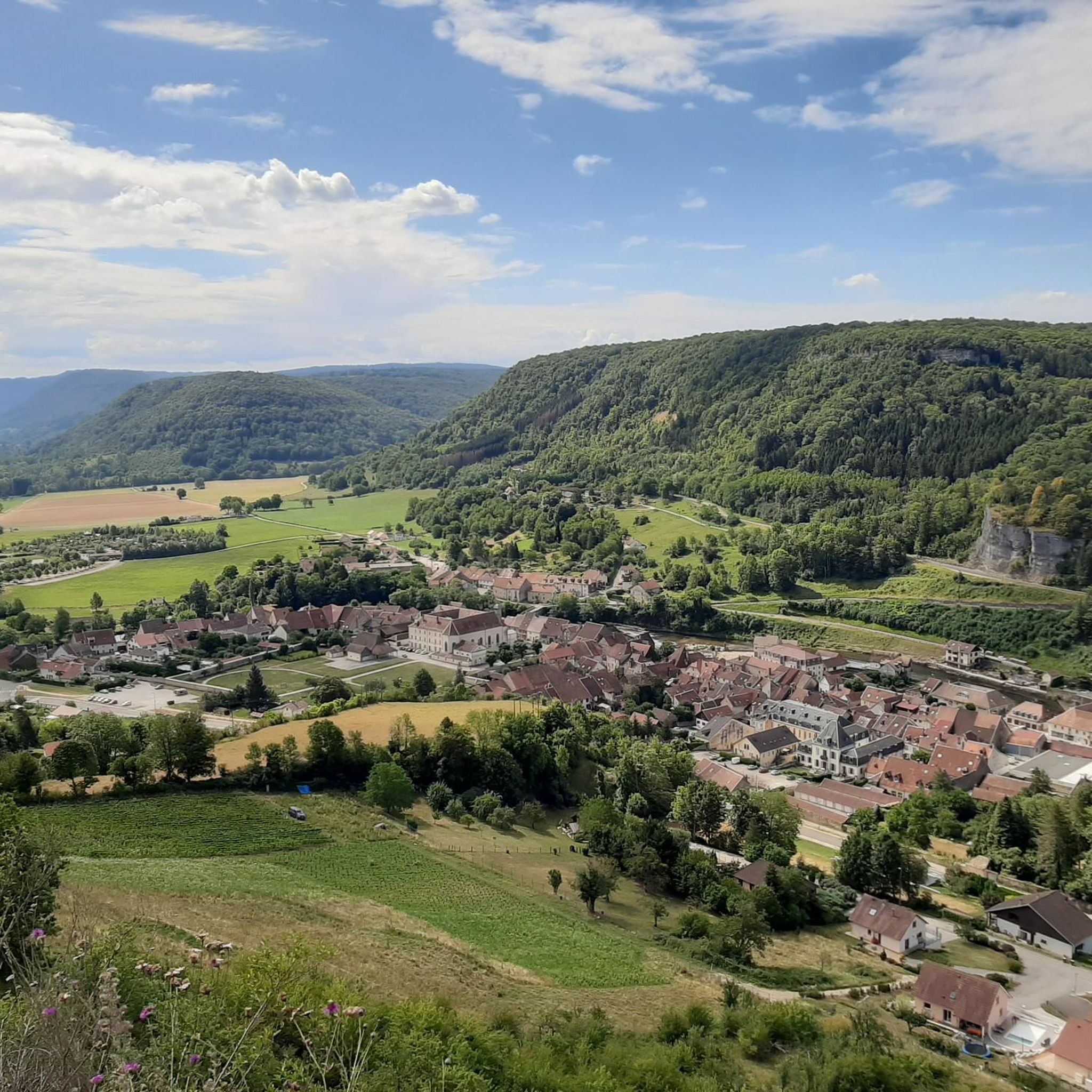
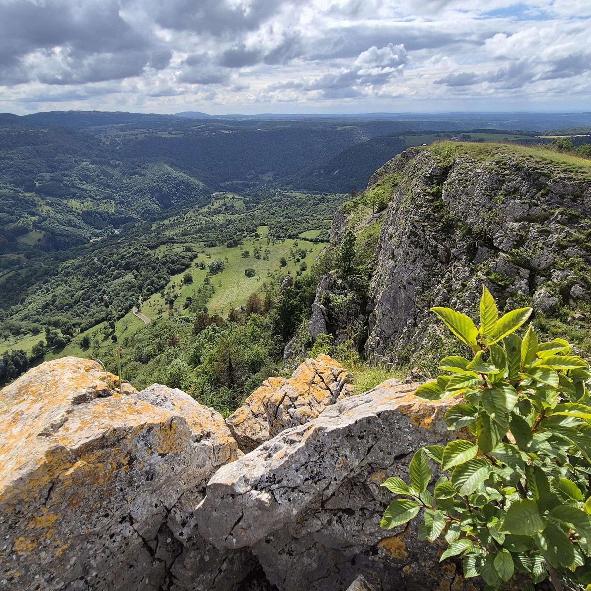
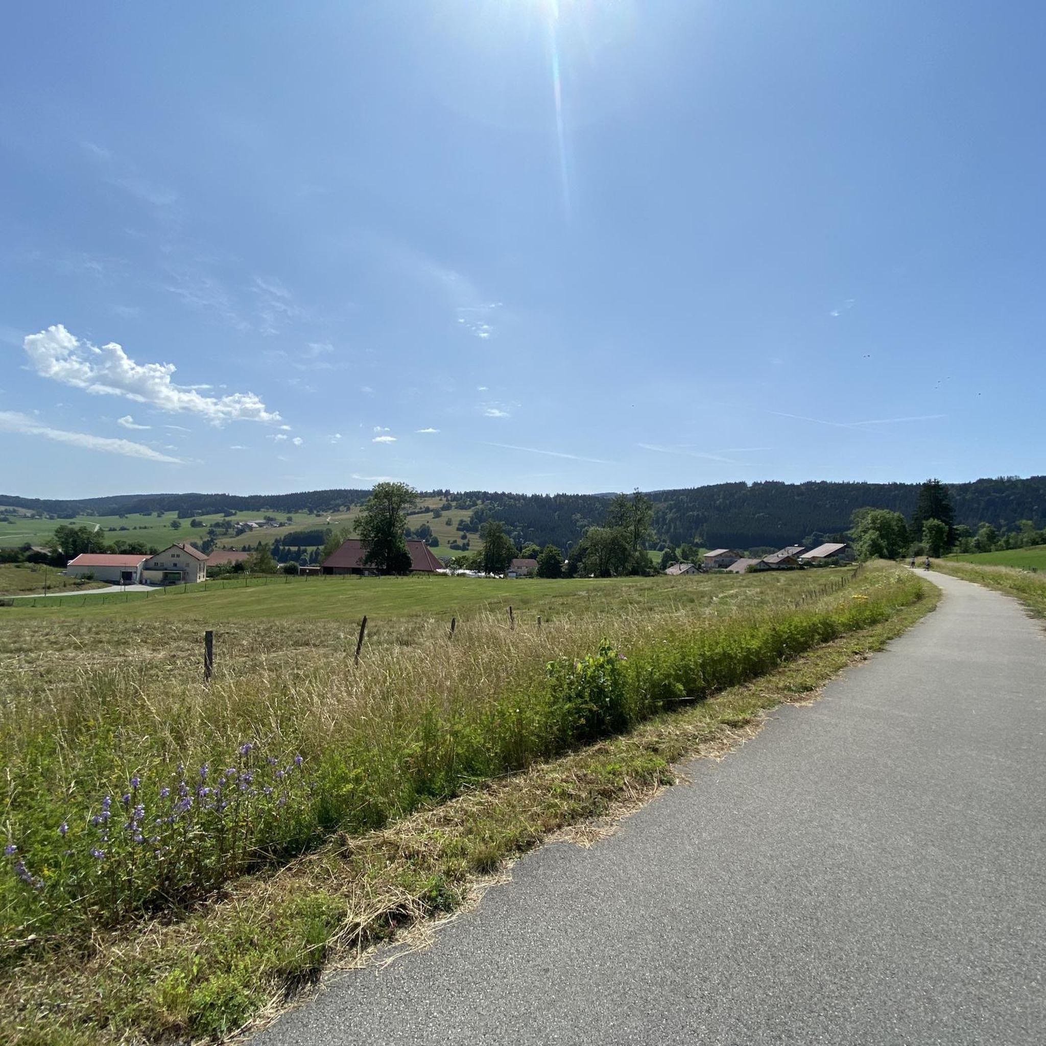
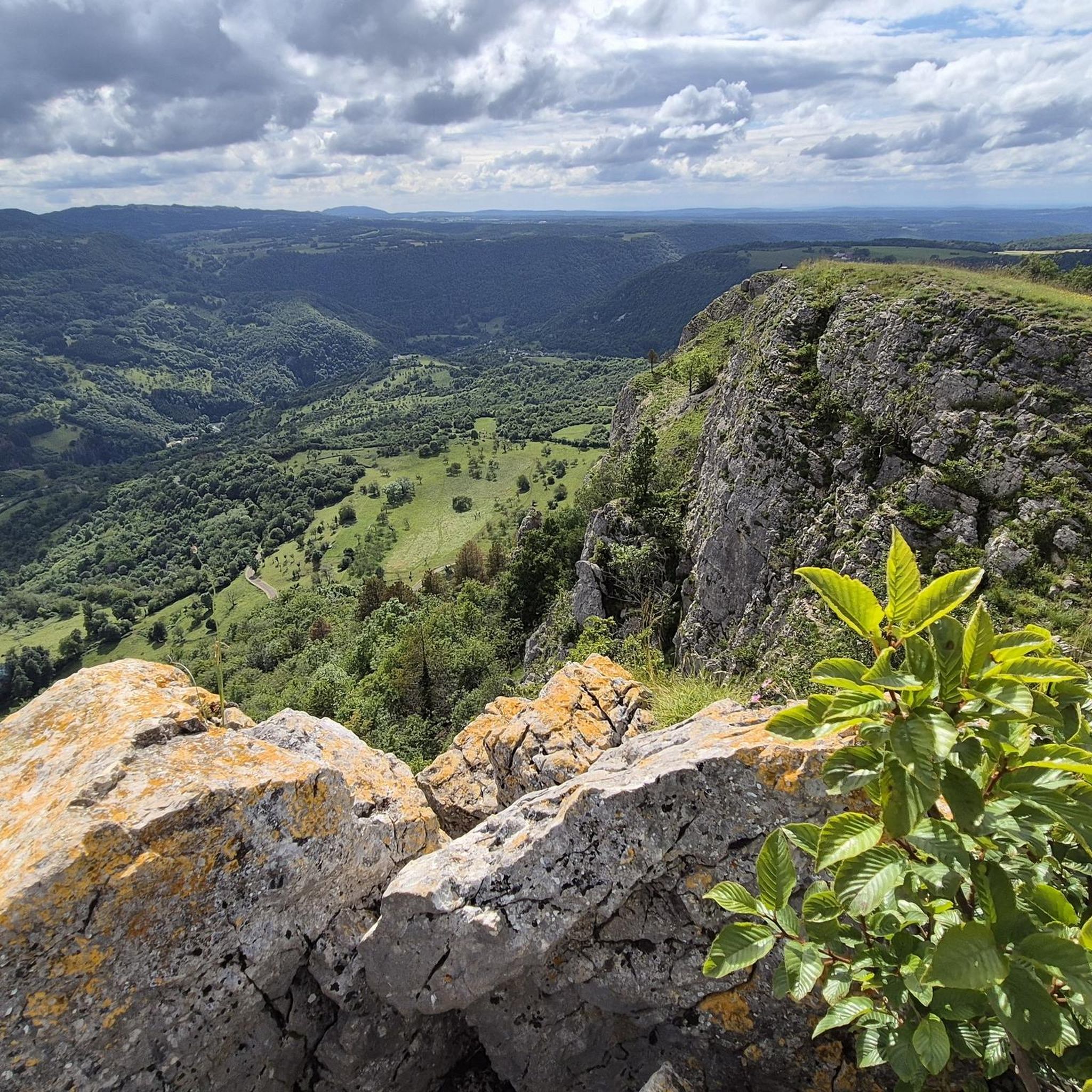
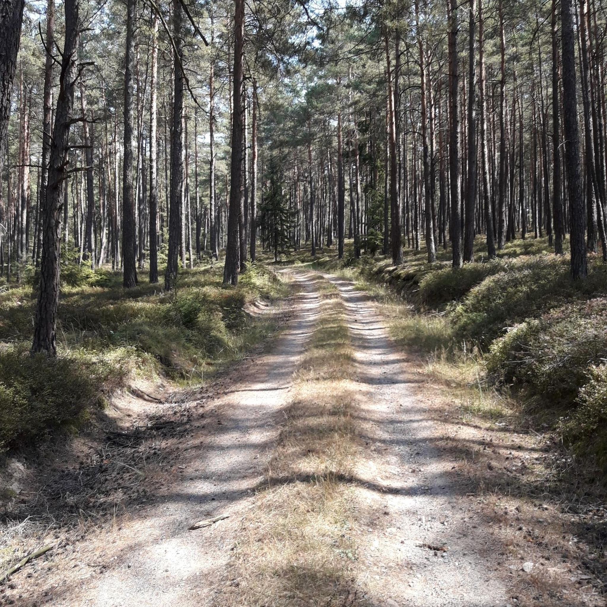
Hiking trails around Les Premiers-Sapins traverse a varied landscape in the Doubs department of France, characterized by its elevated Ornans plateau and surrounding hills. The region is defined by dense fir forests, which contribute to its name, and elevations ranging from 650 to nearly 1000 meters. A prominent natural feature is the Source de la Loue, where the river emerges from a cave beneath 150-meter-high cliffs, leading into the scenic Gorges de la Loue. This terrain offers diverse opportunities for…
Last updated: June 25, 2026
4.8
(117)
479
hikers
14.5km
04:31
540m
540m
Hike the difficult 9.0-mile Les Belvédères Trail through the Gorges de Noailles, past cliffs, and to the Source de la Loue.
4.8
(67)
327
hikers
5.75km
01:56
220m
210m
Hike the moderate 3.6-mile Source of the Loue Trail to witness the powerful resurgence of the Loue River from a dramatic cave.

Sign up for free
4.8
(66)
350
hikers
11.9km
03:37
390m
390m
Hard hike. Good fitness required. Sure-footedness, sturdy shoes and alpine experience required.
4.9
(14)
104
hikers
18.4km
05:52
750m
750m
Hard hike. Very good fitness required. Sure-footedness, sturdy shoes and alpine experience required.
4.5
(11)
91
hikers
Easy hike. Great for any fitness level. Easily-accessible paths. Suitable for all skill levels.
Get access to more routes and recommendations from other explorers.
Sign up for free
Already have an account?
Our route recommendations are based on thousands of hikes, rides, and runs completed by other people on komoot.
Start today with a free account
Your next adventure awaits.
Login or Signup
Tips from the Community

Please note that the trail has been closed since 2022. The original plan was to secure the trail until 2023, but it was then extended to 2024, but it was still closed in 2025.
2
0

I love this place
0
0

You can still see some old and newer buildings at the source of the Loue, as well as bridges and walls that probably belonged to the former mills here.
4
0
Great paths lead along the Loue and offer beautiful views of the wild river.
3
0
The source of the Loue River is announced by the rushing water even before you see it. It's impressive and magical to stand beneath the 150-meter-high cliffs and watch the river rush out of its cave.
5
1

The Loue in Mouthier-Haute-Pierre is distinguished by its natural beauty and peaceful atmosphere. Here you will find a calming section of the river framed by spectacular cliffs, perfect for nature lovers and those seeking tranquility.
1
0

A river straight from the mountain - and then a spectacular waterfall!
0
0
Frequently Asked Questions
How many hiking trails are available in Les Premiers-Sapins?
Les Premiers-Sapins offers a wide variety of hiking opportunities, with over 140 trails recorded on komoot. These routes cater to different preferences, including easy strolls, moderate treks, and more challenging ascents through the region's diverse terrain.
Are there hiking trails suitable for families with children?
Yes, Les Premiers-Sapins has several easy hiking trails perfect for families. For example, the Belvédère de la Roche – View from the Roche de Hautepierre loop from Mouthier-Haute-Pierre is an easy 4.1 km (2.5 miles) route that takes about 1 hour 20 minutes, offering accessible views without being too strenuous for younger hikers.
What kind of natural attractions can I expect to see on the trails?
The region is rich in natural wonders. A highlight is the spectacular Source de la Loue, where the river dramatically emerges from a cave beneath 150-meter-high cliffs. You can also explore the scenic Gorges de la Loue and discover other geological features like the Source du Pontet. Many trails also lead to panoramic viewpoints such as Renédale Viewpoint and Roche Barchey viewpoint, offering stunning vistas over the Ornans Valley and surrounding fir forests.
Are there any circular hiking routes in Les Premiers-Sapins?
Yes, many trails in Les Premiers-Sapins are designed as loops, allowing you to start and end at the same point. A popular option is the Source de la Loue – Source du Pontet loop from Mouthier-Haute-Pierre, a 11.9 km (7.4 miles) route that takes you through the dramatic Gorges de la Loue.
What is the best season for hiking in Les Premiers-Sapins?
The best season for hiking in Les Premiers-Sapins is generally spring through autumn. During these months, the weather is milder, and the fir forests are lush. Spring brings blooming flora, while autumn offers beautiful fall colors. Summer is also popular, but it's advisable to start early to avoid the midday heat. Winter hiking is possible, especially for those equipped for snow, but some trails may be less accessible.
Are dogs allowed on the hiking trails?
Generally, dogs are welcome on hiking trails in Les Premiers-Sapins, but it's always recommended to keep them on a leash, especially in nature protection areas or when passing through agricultural land. This helps protect local wildlife and ensures a pleasant experience for all hikers.
Where can I find parking for hiking trails?
Parking is typically available at the starting points of many popular trails, especially near key attractions like the Source de la Loue or in villages such as Mouthier-Haute-Pierre. Specific parking information is often detailed on individual route pages on komoot, so it's best to check the tour details for your chosen hike.
What do other hikers enjoy most about the trails in Les Premiers-Sapins?
The hiking trails in Les Premiers-Sapins are highly rated by the komoot community, with an average score of 4.6 stars from over 700 reviews. Hikers frequently praise the stunning natural beauty, particularly the dramatic Source de la Loue and the serene Gorges de la Loue, as well as the well-maintained paths and the panoramic views from various viewpoints across the fir forests and valleys.
Are there any challenging hikes for experienced trekkers?
Yes, for experienced hikers seeking a challenge, Les Premiers-Sapins offers several difficult routes. The Les Belvédères Trail is a difficult 14.5 km (9.0 miles) route with significant elevation changes, taking approximately 4 hours 30 minutes to complete and offering extensive panoramic views.
Can I access the hiking trails using public transport?
While Les Premiers-Sapins is a rural area, some villages that serve as trailheads, such as Mouthier-Haute-Pierre, may have limited public transport connections. However, for maximum flexibility and access to a wider range of trail starting points, traveling by car is generally recommended. It's advisable to check local bus schedules if you plan to rely on public transport.
Are there any waterfalls to see along the hiking routes?
While the region is known for the dramatic emergence of the Loue River from its source, creating a powerful flow, it's not characterized by numerous traditional waterfalls. The main 'waterfall-like' spectacle is at the Source de la Loue itself, where the river bursts forth from the cliff face with considerable force, creating an impressive natural display.
What is the typical duration for a hike in Les Premiers-Sapins?
Hiking durations vary significantly depending on the trail's length and difficulty. Easy walks, like the Source of the Loue Trail (5.8 km / 3.6 miles), can take around 2 hours. More challenging routes, such as the Les Belvédères Trail (14.5 km / 9.0 miles), can take upwards of 4.5 hours. There are options for short strolls or full-day adventures.
Most popular routes around Les Premiers-Sapins
Most popular attractions around Les Premiers-Sapins

Get inspired with the komoot mobile app


Explore more
Browse the best Hikes in other regions.
