The best walks and hikes around Bourgs-Sur-Colagne
4.4
(182)
1,089
hikers
109
hikes
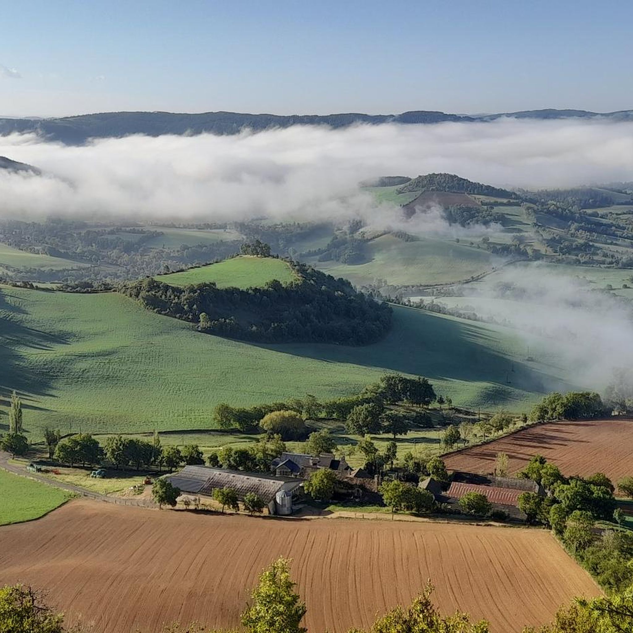
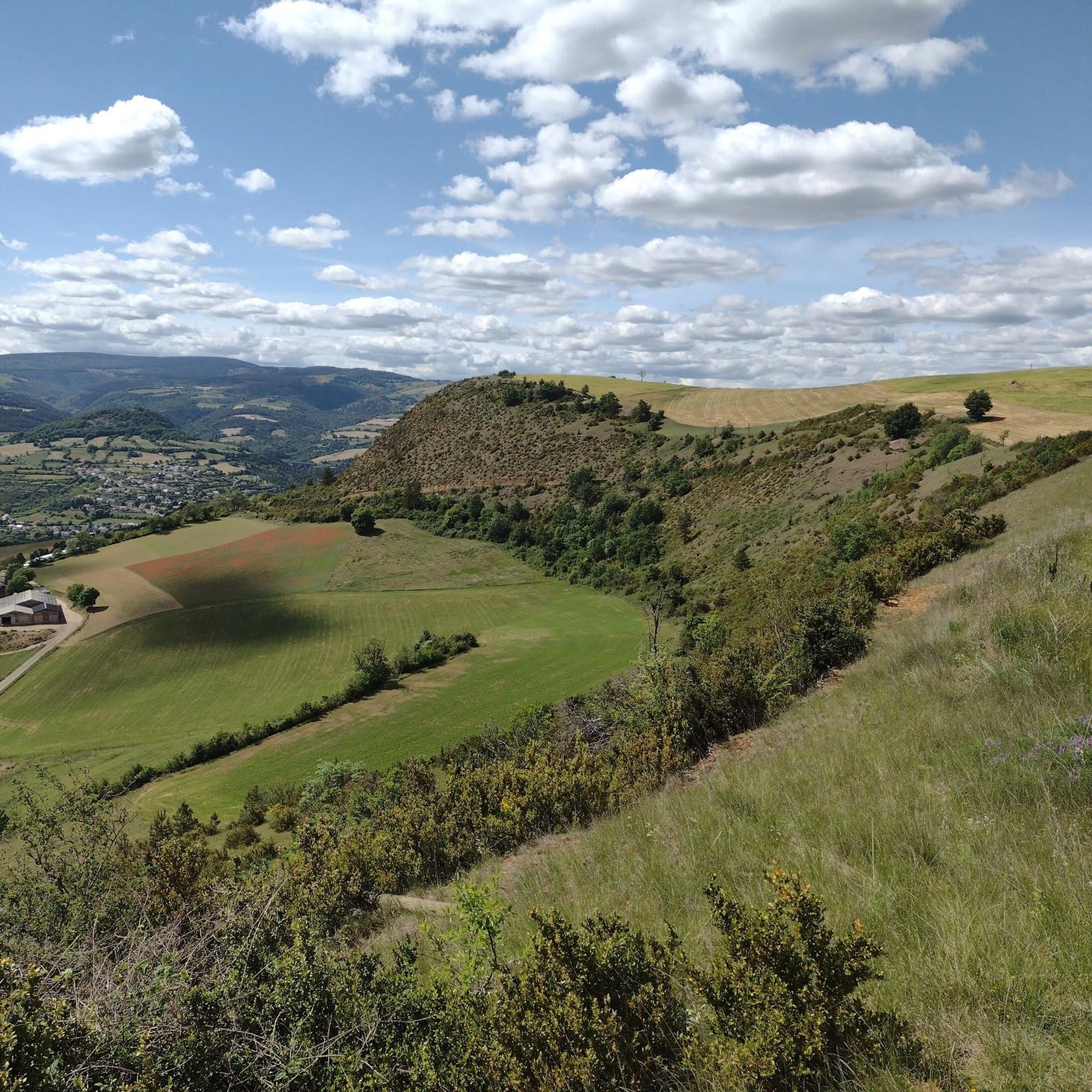
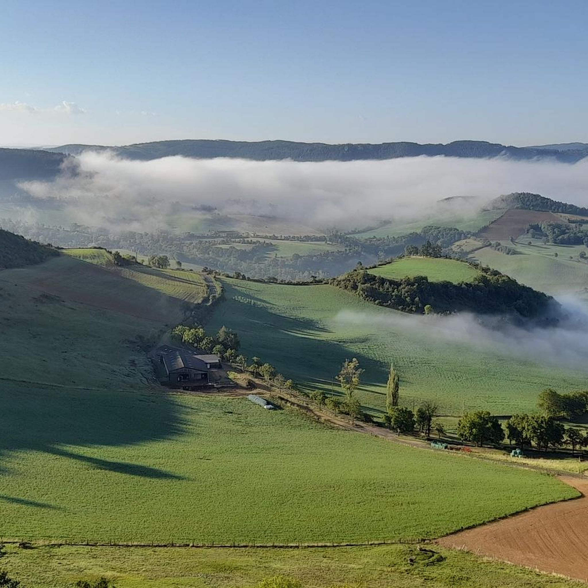
Hiking around Bourgs-Sur-Colagne offers diverse landscapes, spanning from the Lot valley to the foothills of the Aubrac plateau. The region is characterized by the Colagne river, forests, and causses, providing varied terrain for exploration. Hikers can find panoramic views of Mont-Lozère and the Margeride reliefs. The area features a network of trails suitable for different levels.
Best hiking trails around Bourgs-Sur-Colagne
- The most popular hiking route is Porte du Soubeyran loop from Marvejols, a 4.2 miles (6.7 km) trail…
Last updated: May 12, 2026
4.7
(3)
14
hikers
6.74km
01:56
170m
170m
Easy hike. Great for any fitness level. Easily-accessible paths. Suitable for all skill levels.
13
hikers
8.82km
02:38
270m
270m
Moderate hike. Good fitness required. Easily-accessible paths. Suitable for all skill levels.

Sign up for free
2.0
(2)
5
hikers
5.55km
01:37
160m
160m
Easy hike. Great for any fitness level. Easily-accessible paths. Suitable for all skill levels.
5.0
(1)
8
hikers
7.30km
02:07
180m
170m
Moderate hike. Good fitness required. Easily-accessible paths. Suitable for all skill levels.
3
hikers
8.98km
02:31
180m
180m
Moderate hike. Good fitness required. Easily-accessible paths. Suitable for all skill levels.
Get access to more routes and recommendations from other explorers.
Sign up for free
Already have an account?
Our route recommendations are based on thousands of hikes, rides, and runs completed by other people on komoot.
Start today with a free account
Your next adventure awaits.
Login or Signup

Tips from the Community

9km of climbing, perfect for training sessions of one or 45 minutes
0
0

Magnificent city gate very well preserved. Its counterpart, Porte de Chanelles, is opposite Marvejols, at the other end of Rue de la République.
1
0

The Col du Trébatut is 10.5 km long with an average gradient of 5.1% and maximum gradients of 8%. There is 535m of elevation gain.
2
0
Marvejols is a medieval city that illustrates Occitan culture. It was a fortified city which was reinforced during the Hundred Years War against the English.
1
0
Frequently Asked Questions
How many hiking trails are available around Bourgs-sur-Colagne?
There are over 110 hiking trails around Bourgs-sur-Colagne, offering a wide range of options for different skill levels and preferences. These routes explore diverse landscapes from the Lot valley to the Aubrac plateau.
What are the general difficulty levels of hikes in the Bourgs-sur-Colagne area?
The trails around Bourgs-sur-Colagne cater to various abilities. You'll find approximately 40 easy routes, 64 moderate routes, and 6 more challenging options. This ensures there's a suitable path whether you're looking for a gentle stroll or a more strenuous trek.
Are there any family-friendly hiking options in Bourgs-sur-Colagne?
Yes, Bourgs-sur-Colagne offers several family-friendly hikes. Many of the easy routes are suitable for families. For example, the Porte du Soubeyran loop from Marvejols is an easy 6.7 km trail that takes under 2 hours, perfect for a family outing to explore local heritage.
Can I bring my dog on the hiking trails around Bourgs-sur-Colagne?
Many trails in the Bourgs-sur-Colagne region are dog-friendly, but it's always recommended to keep your dog on a leash, especially in areas with livestock or protected wildlife. The diverse terrain, including forests and open plateaus, provides great opportunities for walks with your canine companion.
What kind of scenic views or landmarks can I expect to see on hikes?
Hikers can enjoy magnificent panoramic views, particularly from trails like the Sentier du Croizier, which offers vistas of Mont-Lozère and peaks such as Trucs de la Fare. The "Hauts du Monastier" itinerary provides wide views of the Margeride reliefs. You can also discover landmarks like the Croix de La Rode or the impressive Roqueprins Rock, which offers views of La Canourgue and the Lot valley.
Are there any circular hiking routes available?
Yes, many of the trails around Bourgs-sur-Colagne are circular, allowing you to start and end at the same point. Examples include the Plateau de St Bonnet de Chirac loop from Saint-Bonnet-de-Chirac, a moderate 8.8 km path, and the Trébatut Pass loop from Pierrefiche, an easy 5.5 km trail.
What is the best time of year to go hiking in Bourgs-sur-Colagne?
The Bourgs-sur-Colagne area is enjoyable for hiking throughout much of the year. Spring and autumn offer pleasant temperatures and vibrant landscapes, with spring bringing wildflowers and autumn showcasing rich foliage. Summer is also popular, though some higher altitude trails on the Aubrac plateau can be cooler. Winter offers opportunities for cross-country skiing and snowshoeing in areas like the Col de Bonnecombe.
Are there any long-distance hiking trails accessible from Bourgs-sur-Colagne?
Yes, Bourgs-sur-Colagne serves as a gateway to several major long-distance routes. Sections of the GR60, the Tour des Monts d'Aubrac, and the Chemin des amis de St-Guilhem-le-Désert traverse the area. The GR670, also known as the Urbain V path, is another option for multi-day trekking through diverse landscapes.
What do other hikers enjoy most about hiking in Bourgs-sur-Colagne?
The area is highly rated by the komoot community, with an average score of 4.4 stars from over 160 reviews. Hikers often praise the varied terrain, from river valleys to plateau foothills, the well-maintained trails, and the magnificent panoramic viewpoints of Mont-Lozère and the Margeride reliefs.
Are there any places to stay or rest along the trails?
For those undertaking longer treks, the Refuge des Rajas is a restored gîte that provides a resting place for hikers on some of the major long-distance routes. Additionally, the nearby town of Banassac offers amenities and accommodation options.
What kind of natural features can I expect to encounter?
The region is rich in natural features. You'll find the Colagne river, which influences many itineraries, and the Biourière stream, known for trout fishing. The lower slopes of the Aubrac plateau offer scenic routes, and the Lot Valley provides serene waters and dramatic cliffs. The diverse landscapes include forests, causses (limestone plateaus), and gorges like the Booz Gorge.
Is public transport available to reach hiking trailheads?
While specific public transport details for individual trailheads are not always readily available, the Lozère department generally has some regional bus services. For many routes, especially those starting from smaller villages, driving and parking are often the most convenient options. It's advisable to check local transport schedules if relying on public transport.
Most popular routes around Bourgs-Sur-Colagne
Most popular attractions around Bourgs-Sur-Colagne

Get inspired with the komoot mobile app


Explore more
Browse the best Hikes in other regions.
