Top 9 Mountain Passes around Pont-De-Montvert-Sud-Mont-Lozère
Best mountain passes around Pont-De-Montvert-Sud-Mont-Lozère are situated within the Cévennes National Park, a region characterized by its diverse landscapes. The area features high-altitude passes, offering views of the surrounding mountains and valleys. This location provides access to various outdoor activities, including hiking and cycling routes. The passes often hold historical or cultural significance, with some featuring ancient structures.
Best mountain passes around Pont-De-Montvert-Sud-Mont-Lozère
- The most popular mountain passes is Sapet Pass, a mountain pass that overlooks the heart of…
Last updated: August 19, 2026
Dolmen at Col de la Pierre Plate
Highlight • Mountain Pass
His chamber, covered by a large slab and open towards the east, is three …
Translated by Google •
Tip by

Sapet Pass
Highlight • Mountain Pass
Translated by Google •
Tip by

Sign up now to discover places like this
Get recommendations on the best single tracks, peaks, & plenty of other exciting outdoor places.
Sign up for free
Loubière Pass
Highlight • Mountain Pass
Showing Translation
Tip by

Col de l'Aigle
Highlight • Mountain Pass
Translated by Google •
Tip by
Santel Pass
Highlight • Mountain Pass
Translated by Google •
Tip by

Sign up for free to discover even more mountain passes around Pont-De-Montvert-Sud-Mont-Lozère.
Sign up for free
Already have an account?
Start today with a free account
Your next adventure awaits.
Login or Signup
Popular around Pont-De-Montvert-Sud-Mont-Lozère

The Grande traversée du Massif Central by gravel bike

Hexatrek – The Cévennes to the Pyrenees between gorges and limestone plateau
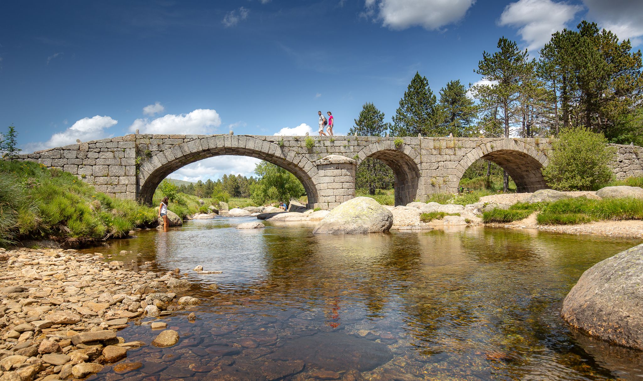
The most beautiful walks in Lozère
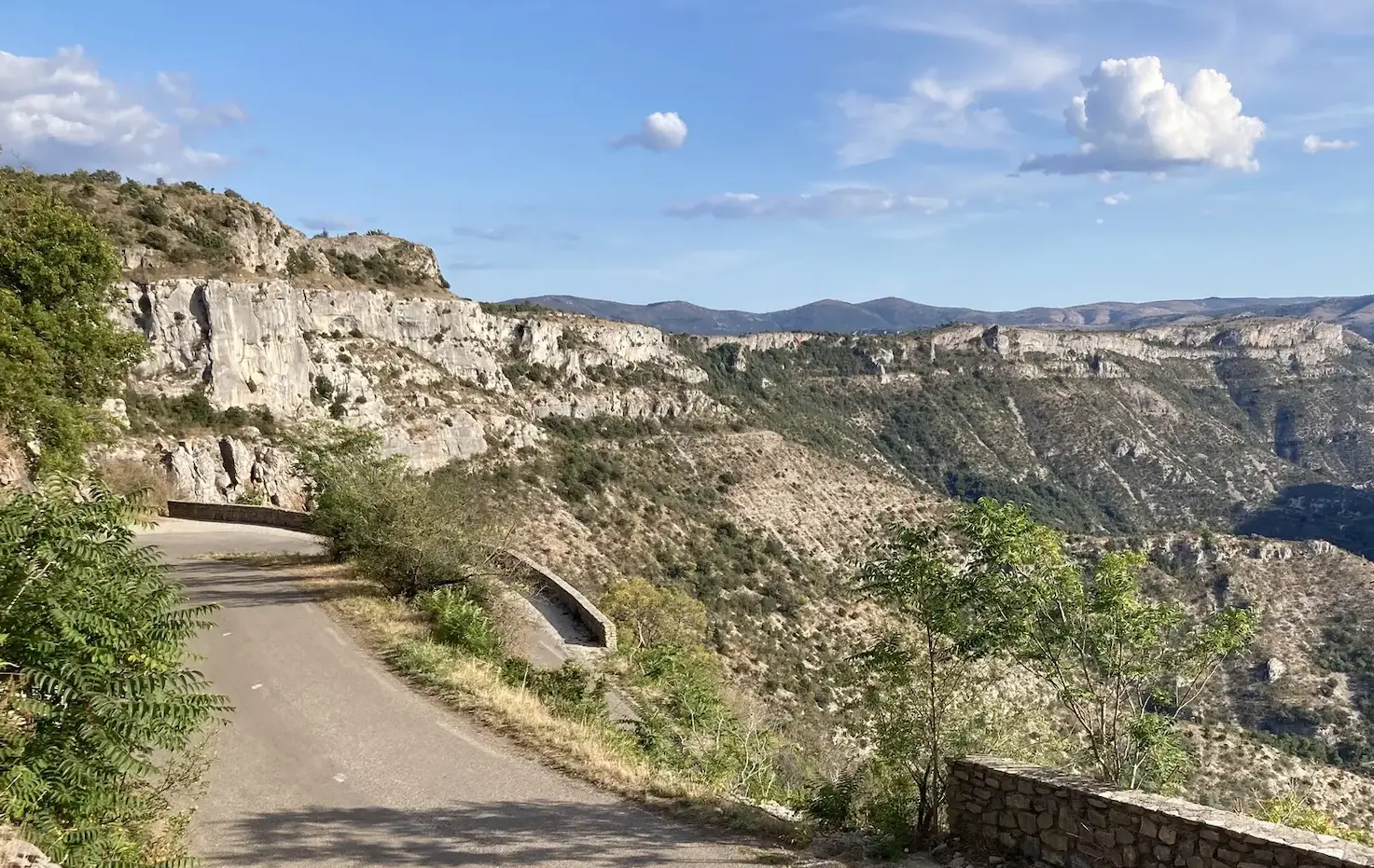
From north to south - On the slopes of the GTMC
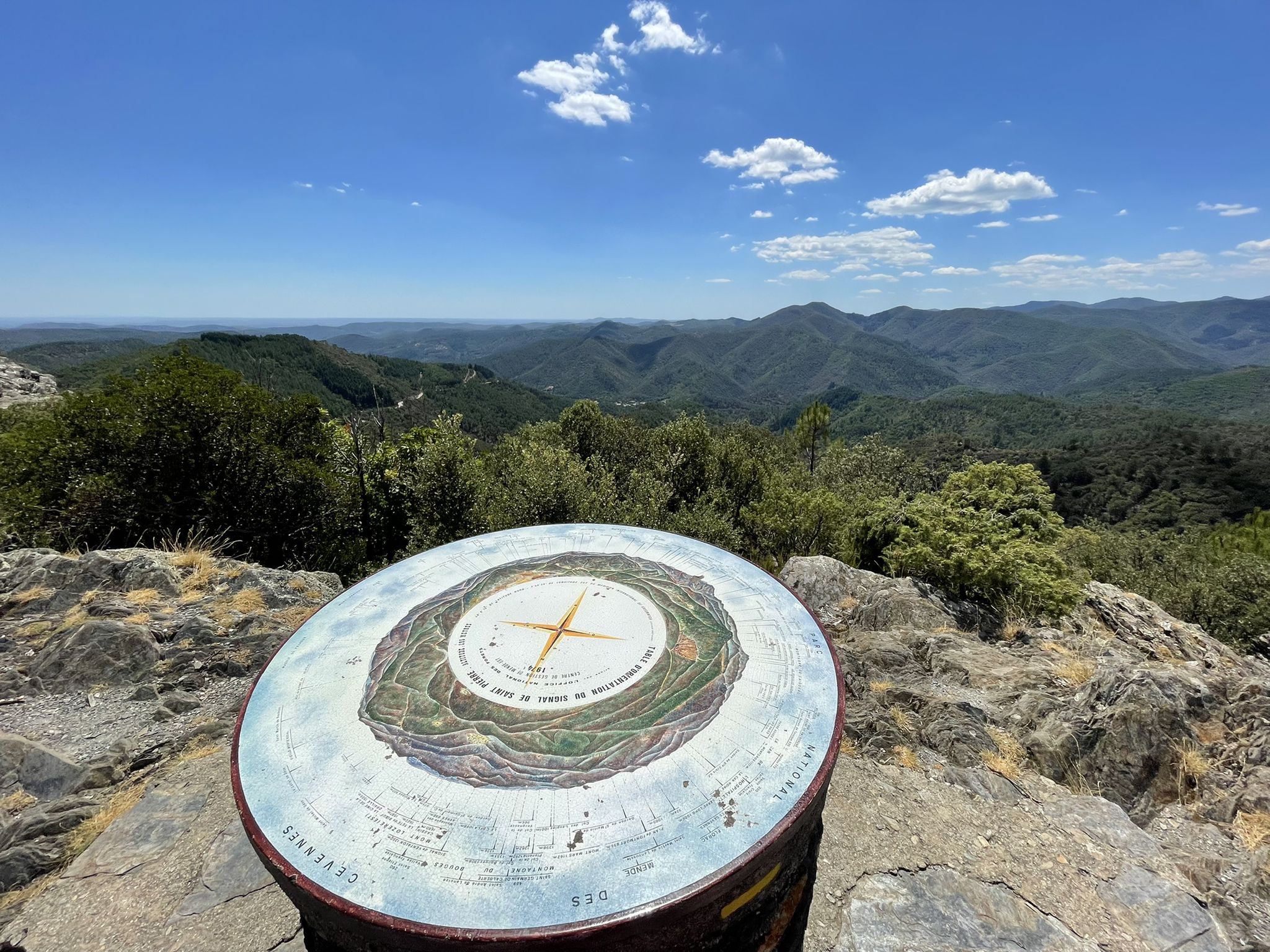
Hike through the Cévennes valleys in France – Chemin Camisard
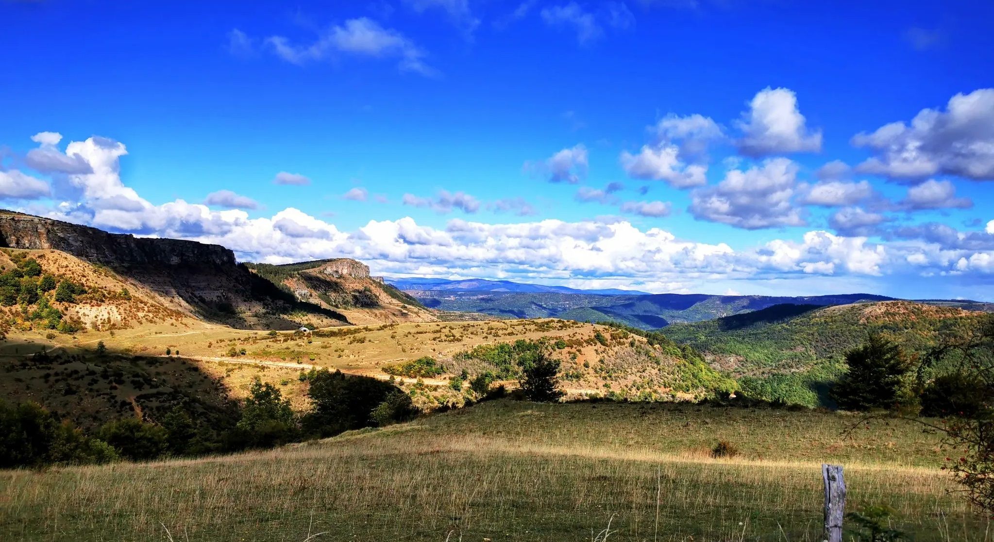
Crossing the Cévennes – a mountain bike trip in the heart of nature
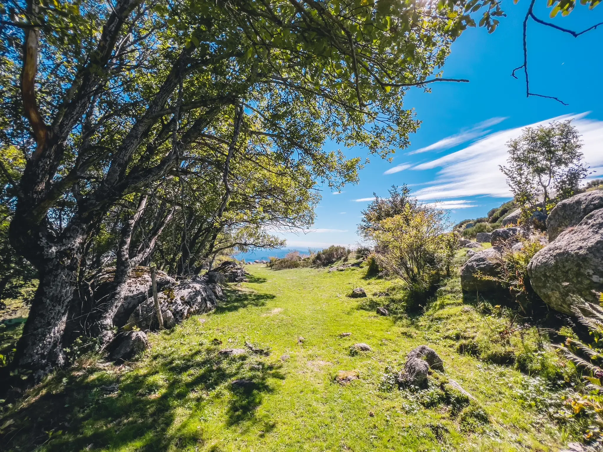
UNESCO landscapes and unique biodiversity – around Mont Lozère
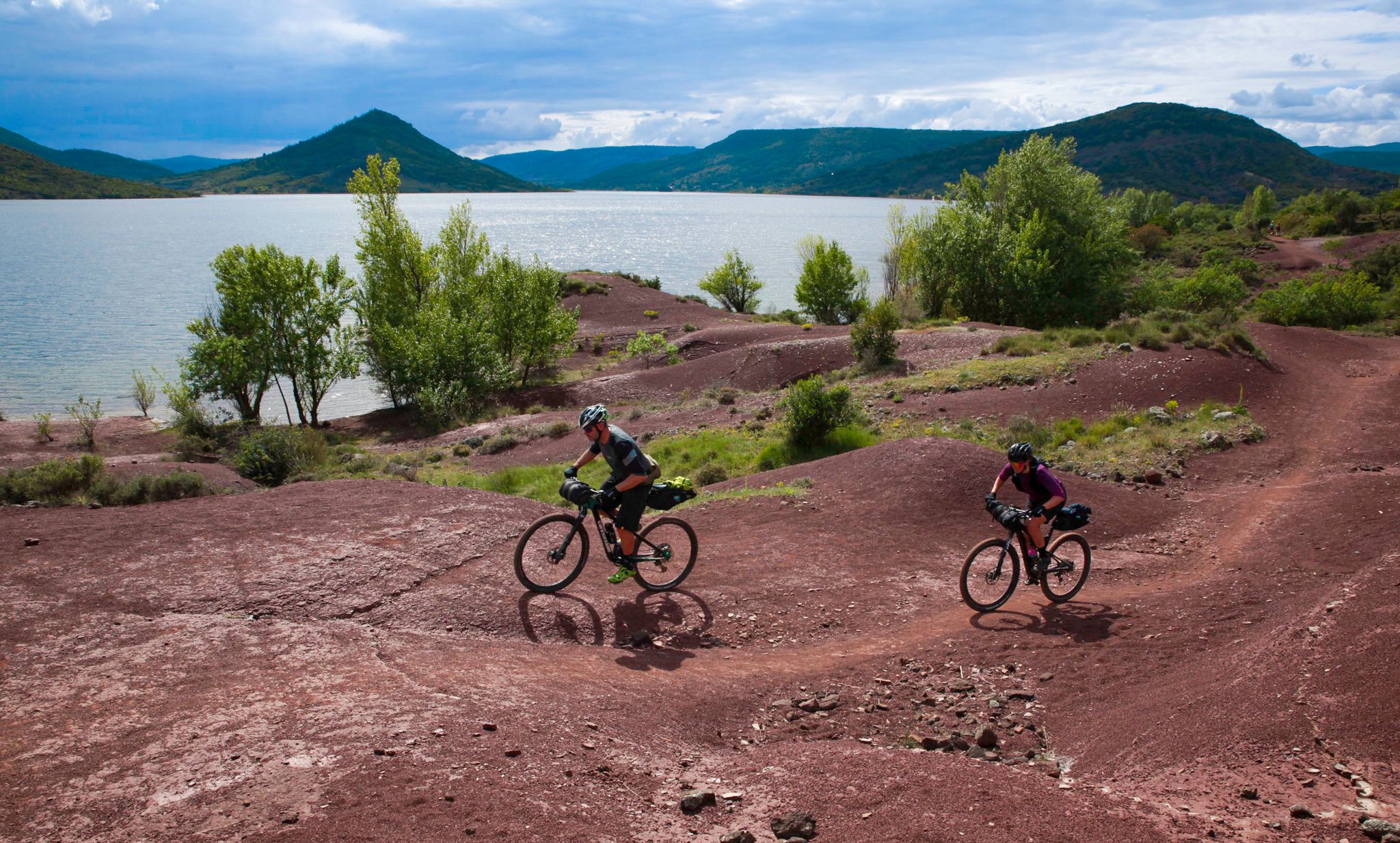
The Great Crossing of France's Massif Central by mountain bike
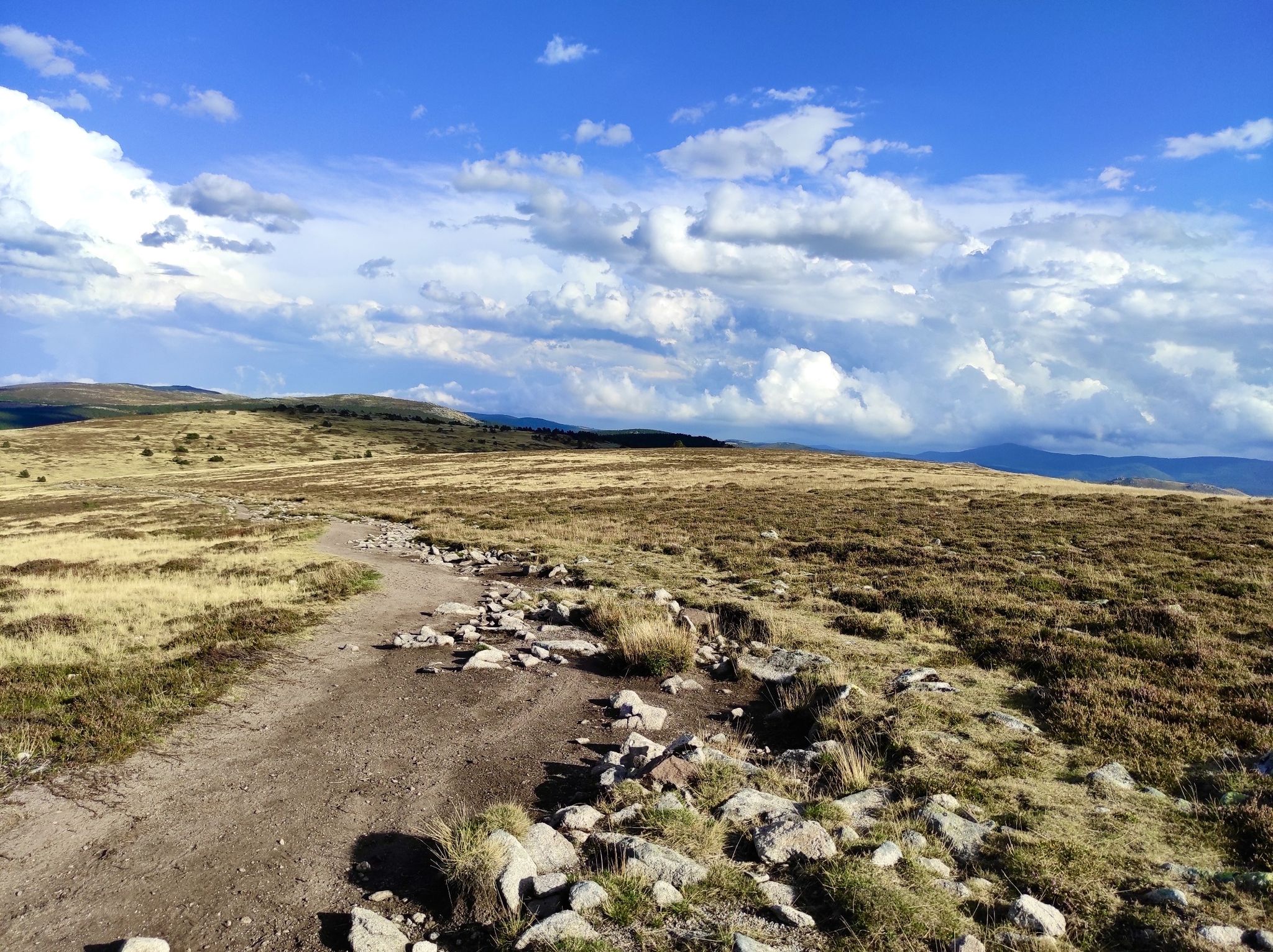
In the footsteps of Modestine — the Stevenson Trail (GR 70)
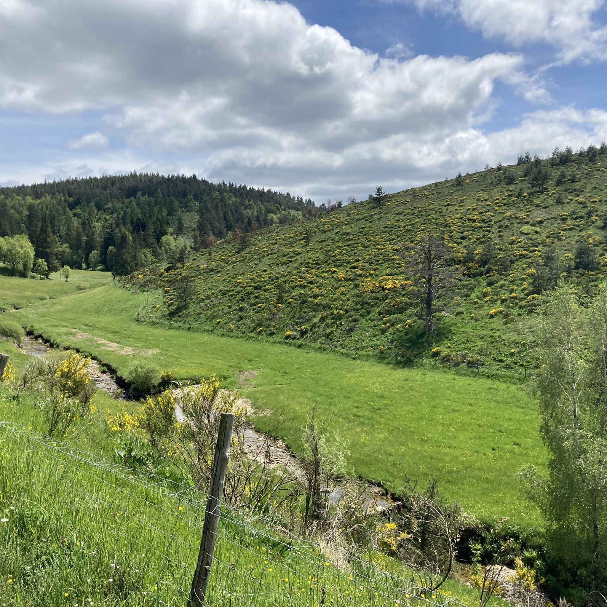
Hiking around Pont-De-Montvert-Sud-Mont-Lozère
Other adventures around Pont-De-Montvert-Sud-Mont-Lozère


Tips from the Community

The Col du Sapet overlooks the heart of the Cévennes National Park at an altitude of 1,080 meters. It is located on Mont du Bougès and serves as a starting point for numerous hiking trails. This pass is also particularly popular with local cyclists, with its 450-meter elevation gain and views of the Cévennes Mountains.
0
0

D41, very small road, relatively little traffic, challenging from both sides but doable.
2
0


The Col de Santel connects a number of paths, including the famous GR 68 which goes around Mont-Lozère. From here you can also reach the Col de Finiels, which is the highest point in the Cévennes.
2
0

The Col de la Pierre Plate, at an altitude of 1016m, obviously owes its name to the dolmen whose enormous megalith that crowns it has a perfectly flat shape.
0
0
The Col du Sapet, at 1,080 meters above sea level, is the ideal starting point for the Signal de Bougès, offering magnificent views of the Cévennes.
1
0
The Col de l'Aigle, less than a kilometer east of Pic Cassini, offers a magnificent view of the valley at an altitude of 1,605 meters.
1
0

Located between the Lot valley and Valdonnez, the Col de la Loubière is 1,181 meters high and six kilometers long with an average gradient of 5.59%. The climb, regardless of its side, is very pleasant and takes place on a small, quiet road.
1
0
Frequently Asked Questions
What makes the mountain passes around Pont-De-Montvert-Sud-Mont-Lozère unique?
The mountain passes in this region, nestled within the Cévennes National Park, are known for their diverse landscapes, ranging from high-altitude vistas to moors and peat bogs. They offer a blend of natural beauty, historical significance, and opportunities for various outdoor activities, catering to different interests and skill levels.
Which mountain passes are popular for hiking and offer great views?
For expansive views and hiking, Sapet Pass is an excellent starting point for trails exploring the Cévennes and Mont Lozère. Another notable pass is Col de Finiels, which is the highest point on the historic Stevenson's Trail (GR70) and offers exceptional 360-degree panoramic views, extending to the Alps and Mediterranean on clear days. It's also a popular starting point for reaching Pic de Finiels.
Are there mountain passes suitable for cycling challenges?
Yes, several passes offer engaging routes for cyclists. Loubière Pass is a 6-kilometer route with an average gradient of 5.59%, providing a challenging yet manageable climb. Col de la Pierre Plate features a fully paved road with winding sections, steep gradients up to 9.0%, and nine hairpin turns, making it an exciting route for cyclists. Sapet Pass is also popular with local cyclists, offering a 450-meter elevation gain.
What historical or cultural sites can be found near these mountain passes?
Near the Dolmen at Col de la Pierre Plate, you can find a well-preserved megalithic structure, which local legends claim has healing properties. Additionally, Sapet Pass is distinctly marked by a boundary stone, reflecting medieval land management practices, adding a touch of cultural interest to the natural scenery.
What outdoor activities can I do near these mountain passes?
The region offers a wide range of outdoor activities. You can find numerous hiking trails, including challenging routes like the Pic Cassini and the sources of the Tarn loop, or moderate options like La Cham de l'Hermet Trail. For cyclists, there are gravel biking routes such as the Cévennes Greenway, and road cycling tours like The Tarn Gorges and the Causse Méjean. You can explore more options on the dedicated guides for hiking, gravel biking, and cycling around Pont-De-Montvert-Sud-Mont-Lozère.
Are there any mountain passes that are good starting points for longer routes?
Yes, Santel Pass is a practical choice as it connects various paths, including the GR 68, which encircles Mont Lozère. From here, you can also access Col de Finiels, the highest point in the Cévennes. Sapet Pass also serves as an ideal starting point for numerous hiking trails.
What is the highest mountain pass in the region?
While not explicitly listed as a pass in the guide data, Col de Finiels is situated at an elevation of 1,543 meters (5,062 feet) and is considered one of the most prominent passes, holding the distinction of being the highest point on the historic Stevenson's Trail (GR70). It also provides access to Pic de Finiels, the highest point of Mont Lozère at 1,699 meters (5,574 feet).
When is the best time to visit the mountain passes in Pont-De-Montvert-Sud-Mont-Lozère?
The best time to visit depends on your preferred activities. During warmer months, the passes are ideal for hiking and cycling. In winter, areas like Col de Finiels transform into destinations for cross-country skiing and snowshoeing, complementing the family ski resort of Le Bleymard Mont Lozère.
Are there amenities available near the mountain passes?
Yes, Santel Pass is noted for offering amenities such as a car park, accommodation, and restaurants, making it a convenient base for visitors exploring the area.
What kind of landscape can I expect to see around the mountain passes?
The landscape around the passes is diverse and captivating. You'll encounter moors covered with broom and heather, peat bogs, pastures, and granite blockfields, especially around Col de Finiels. The region is characterized by the wild beauty of the Lozère region within the Cévennes National Park.
Is there a mountain pass known for its challenging gradients?
Yes, Col du Pré de la Dame, culminating at 1,474 meters above sea level, is known for its very steep ascents, whether you approach it from Villefort or Génolhac, making it a challenging climb for cyclists.
Most popular routes around Pont-De-Montvert-Sud-Mont-Lozère
Most popular attractions around Pont-De-Montvert-Sud-Mont-Lozère

Get inspired with the komoot mobile app


Explore more
See even more epic mountain passes by checking out these guides around Pont-De-Montvert-Sud-Mont-Lozère:
