The best walks and hikes around Terre-Et-Marais
4.1
(150)
923
hikers
69
hikes
Hiking around Terre-Et-Marais offers a network of trails primarily characterized by flat terrain and low elevation gains, making it accessible for various activity levels. The region features numerous canals and waterways, providing scenic paths along the water's edge. These routes often traverse open landscapes and rural areas, reflecting the "Terre-Et-Marais" (land and marsh) nature of the area. The trails are generally well-suited for easy hikes near Terre-Et-Marais, with many options for family friendly walks Terre-Et-Marais.
Best hiking trails around Terre-Et-Marais
…Last updated: May 24, 2026
4.7
(10)
95
hikers
6.72km
01:42
10m
10m
Easy hike. Great for any fitness level. Easily-accessible paths. Suitable for all skill levels.
4.5
(12)
160
hikers
4.13km
01:03
10m
10m
Easy hike. Great for any fitness level. Easily-accessible paths. Suitable for all skill levels.

Sign up for free
3.3
(3)
21
hikers
Moderate hike. Good fitness required. Easily-accessible paths. Suitable for all skill levels.
5.0
(1)
10
hikers
Easy hike. Great for any fitness level. Easily-accessible paths. Suitable for all skill levels.
3.0
(1)
5
hikers
3.59km
00:55
10m
10m
Easy hike. Great for any fitness level. Easily-accessible paths. Suitable for all skill levels.
Get access to more routes and recommendations from other explorers.
Sign up for free
Already have an account?
Our route recommendations are based on thousands of hikes, rides, and runs completed by other people on komoot.
Start today with a free account
Your next adventure awaits.
Login or Signup


Tips from the Community

A bit difficult with a dog, unless the dog goes over a grid bridge
0
0

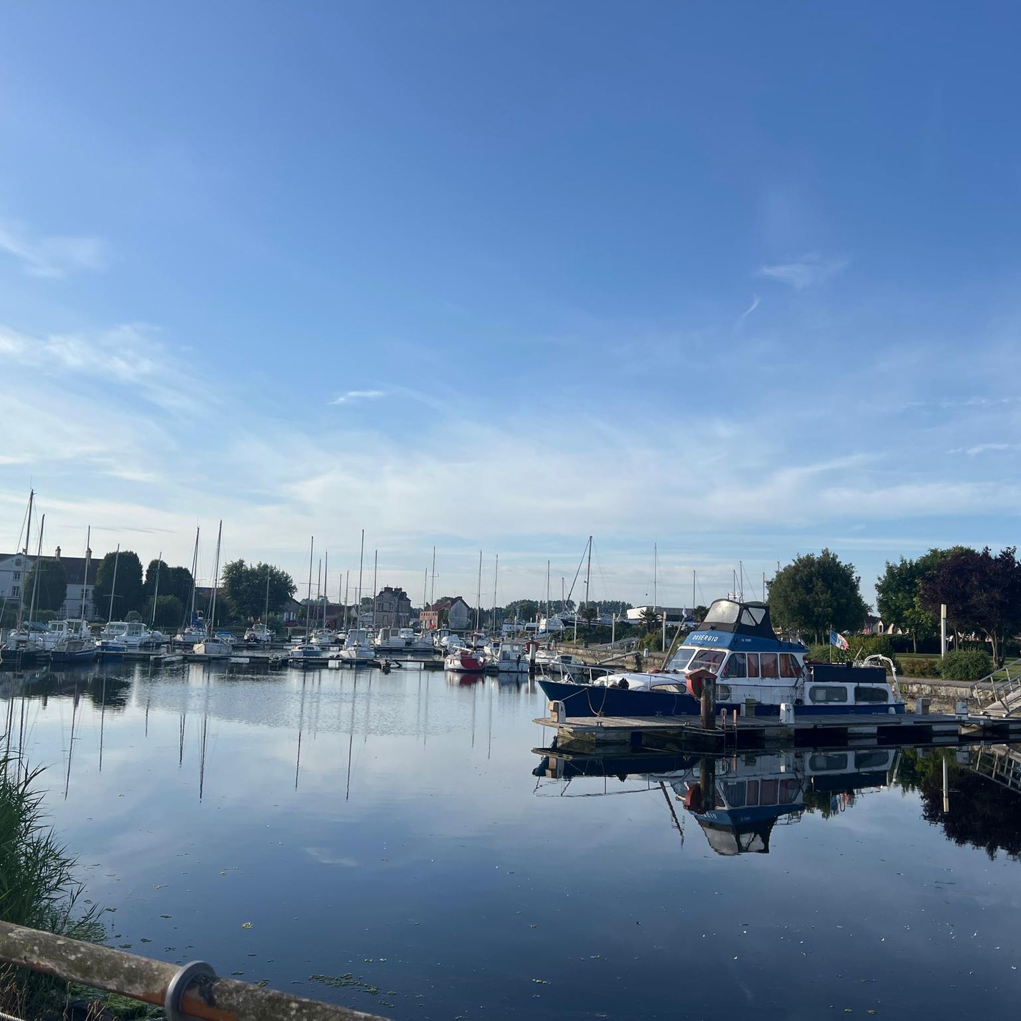
Very beautiful city with its port. Very pleasant to walk around.
0
0

During the liberation of Normandy, the headquarters of the 101st Airborne Division of the US Air Force was temporarily located here.
1
0

This portion is part of the “Le bocage” discovery trail. The hedge, the jewel of the Norman bocage, has been shaped by many generations of farmers since the clearings of the Middle Ages. This route allows you to discover and understand the life of the hedge and the relationships it maintains with its occupants. @Park House
0
0

The canal and its surroundings should be explored on foot or by bike.
2
0


The port in the northeast of the city is located at the end of a channel connecting the bay of Les veys and was inaugurated in 1982. When the tide rises, the so-called muscaret can be seen from the lock that closes the entrance to the harbour: a phenomenon in which a wave that flows into the canal from the sea is broken by the resistance of the river water that flows into the sea in the opposite direction. (Michelin)
8
0
The Carentan Canal runs through an aqueduct dating from 1994 over the N13. So don't be surprised if you see sailing boats passing above you from the car. The structure presented the road and hydraulic engineers with many technical problems, including with regard to watertightness and drainage. Le Pont-Canal : opened on June 6, 1994. Le Pont-Canal passes the national route 13 à 2 x 2 journeys (reliant Caen à Cherbourg) along the canal de Carentan à la mer sur le port. Le chantier a duré 22 mois avec en average 70 persons par jour.
2
0
Frequently Asked Questions
How many hiking trails are available in Terre-Et-Marais?
Terre-Et-Marais offers a wide selection of hiking routes, with over 70 trails recorded on komoot. These routes cater to various preferences, from easy strolls to more moderate excursions.
Are there easy hiking trails suitable for beginners or casual walkers in Terre-Et-Marais?
Yes, the region is well-suited for easy hikes. Over 40 of the trails are graded as easy, characterized by flat terrain and minimal elevation changes. Many paths follow canals and waterways, offering pleasant, accessible walks.
Are the hiking trails in Terre-Et-Marais suitable for families with children?
Absolutely. The flat terrain and low elevation gains make many trails in Terre-Et-Marais ideal for family-friendly walks. You'll find numerous options that are enjoyable for all ages, often alongside scenic canals.
Can I bring my dog on the hiking trails in Terre-Et-Marais?
Many trails in Terre-Et-Marais are dog-friendly, especially those traversing open landscapes and rural areas. It's always recommended to keep your dog on a leash, particularly near livestock or in nature reserves, and to check local regulations for specific routes.
Are there any circular hiking routes in Terre-Et-Marais?
Yes, many of the trails in Terre-Et-Marais are designed as circular routes, allowing you to start and end at the same point. For example, the Haut Dick Lock – Carentan the Vikings... loop from Saint-Hilaire-Petitville offers a pleasant loop experience.
What kind of landscapes can I expect to see while hiking in Terre-Et-Marais?
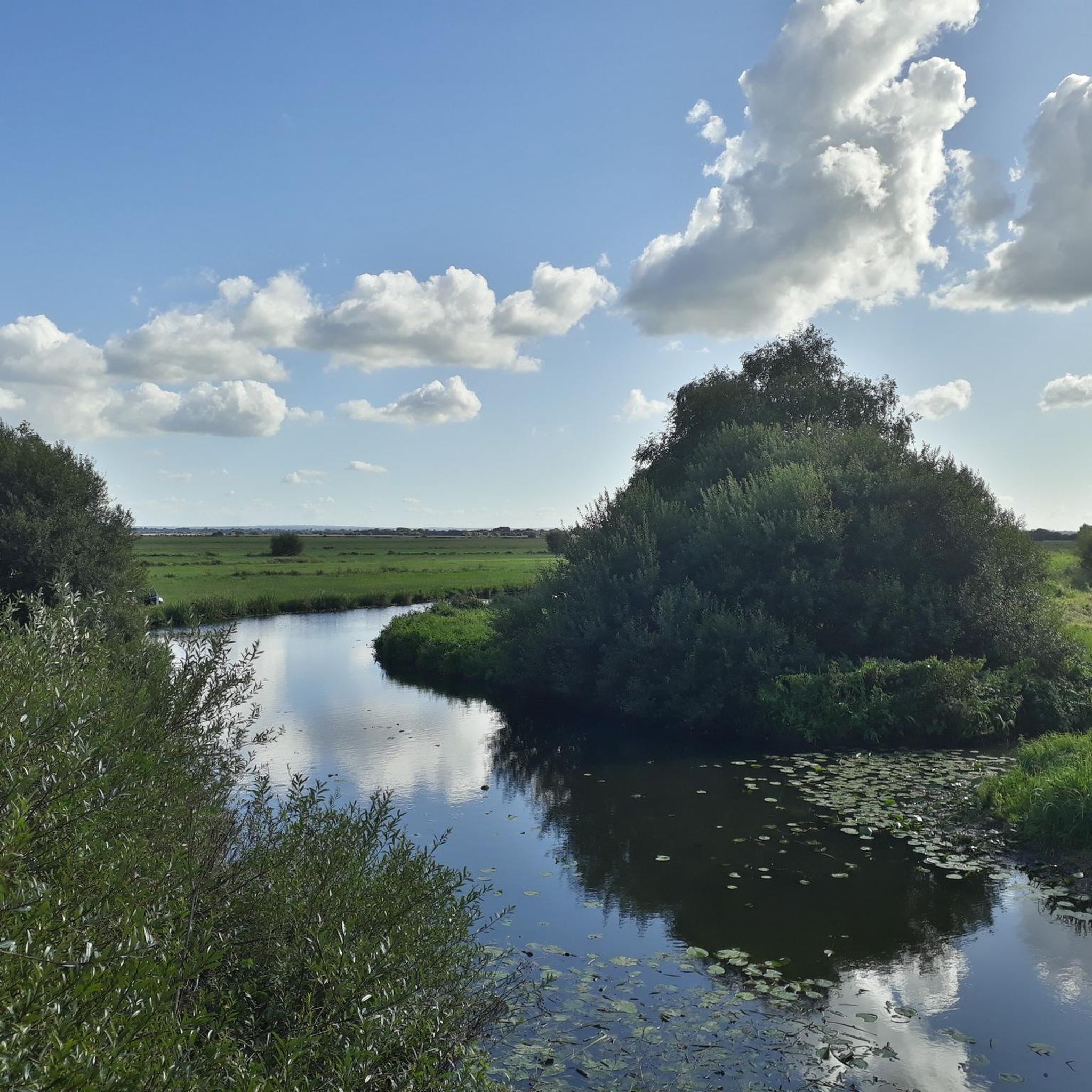
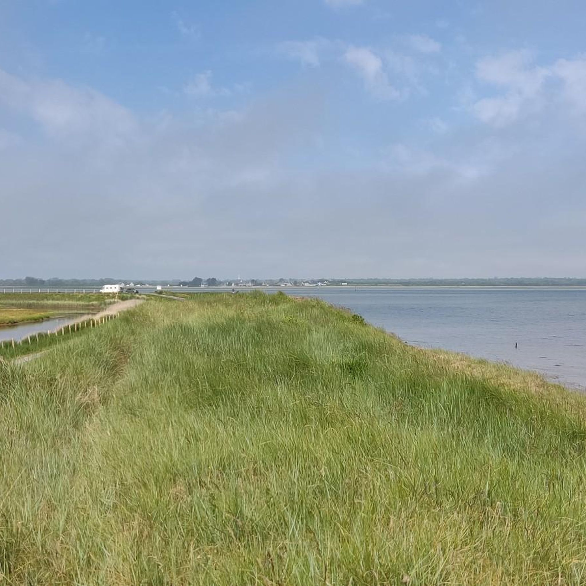
Terre-Et-Marais, meaning 'land and marsh,' lives up to its name. You can expect to hike through open rural landscapes, alongside numerous canals and waterways, and across marshy areas. The scenery is generally flat, offering expansive views.
What are some interesting places to explore near the hiking trails in Terre-Et-Marais?
While hiking, you can explore several points of interest. The Canal de Carentan is a prominent feature, and you might also encounter historical sites like Notre-Dame de Carentan or the charming town of Carentan itself.
Is public transport available to reach hiking trailheads in Terre-Et-Marais?
Public transport options to specific trailheads in Terre-Et-Marais can be limited due to the rural nature of the region. It's advisable to check local bus schedules or consider driving to access the starting points of many trails.
Are there parking facilities at the trailheads in Terre-Et-Marais?
Many trailheads, especially those near towns or popular starting points, offer designated parking areas. For more remote routes, roadside parking might be available, but it's always best to plan ahead and check maps for specific parking information.
What is the best time of year to go hiking in Terre-Et-Marais?
The best time for hiking in Terre-Et-Marais is typically from spring to early autumn (April to October) when the weather is mild and the paths are generally dry. Winter hiking is possible, but some paths might be muddy or wet due to the marshy nature of the area.
What kind of wildlife or plants might I encounter on the trails?
Given the marshy and canal-side environments, you might spot various waterfowl, amphibians, and insects. The flora consists mainly of wetland plants, reeds, and typical rural vegetation. Keep an eye out for local bird species that thrive in these aquatic habitats.
What do other hikers say about the trails in Terre-Et-Marais?
The trails in Terre-Et-Marais are highly rated by the komoot community, with an average score of 4.1 stars from over 140 reviews. Hikers often praise the peaceful canal-side paths, the flat and accessible terrain, and the opportunity to experience the unique 'land and marsh' landscape.
Are there any longer, more challenging hikes in the region?
While the region is known for its easy trails, there are also moderate options available. For instance, the Canal de Carentan – Carentan Canal and Marina loop from Saint-Hilaire-Petitville is a 6.6-mile (10.7 km) route that offers a longer, more engaging experience, though still with minimal elevation changes.
Most popular routes around Terre-Et-Marais
Most popular attractions around Terre-Et-Marais

Get inspired with the komoot mobile app


Explore more
Browse the best Hikes in other regions.
