The best running trails around Hövelhof
4.4
(42)
612
runners
55
runs
Jogging routes around Hövelhof traverse the diverse natural landscapes of the Senne region, characterized by gentle dunes, clear stream valleys, and light pine forests. The area is rich in waterways, including the Ems and Krollbach, and features the unique Moosheide Nature Protection Area with its open heathlands and inland sand dunes. While generally flat, with elevations ranging from 90 to 160 meters, the proximity to the Teutoburg Forest offers varied topography for running. This well-developed network of running trails provides…
Last updated: August 27, 2026
2.8
(4)
48
runners
8.00km
00:51
20m
20m
Moderate run. Good fitness required. Mostly paved surfaces. Suitable for all skill levels.
3.3
(3)
35
runners
6.00km
00:37
10m
10m
Moderate run. Good fitness required. Mostly paved surfaces. Suitable for all skill levels.

Sign up for free
5.0
(2)
32
runners
Moderate run. Good fitness required. Mostly paved surfaces. Suitable for all skill levels.
28
runners
Easy run. Great for any fitness level. Mostly paved surfaces. Suitable for all skill levels.
25
runners
Easy run. Great for any fitness level. Mostly paved surfaces. Suitable for all skill levels.
Get access to more routes and recommendations from other explorers.
Sign up for free
Already have an account?
Our route recommendations are based on thousands of hikes, rides, and runs completed by other people on komoot.
Start today with a free account
Your next adventure awaits.
Login or Signup
Popular around Hövelhof
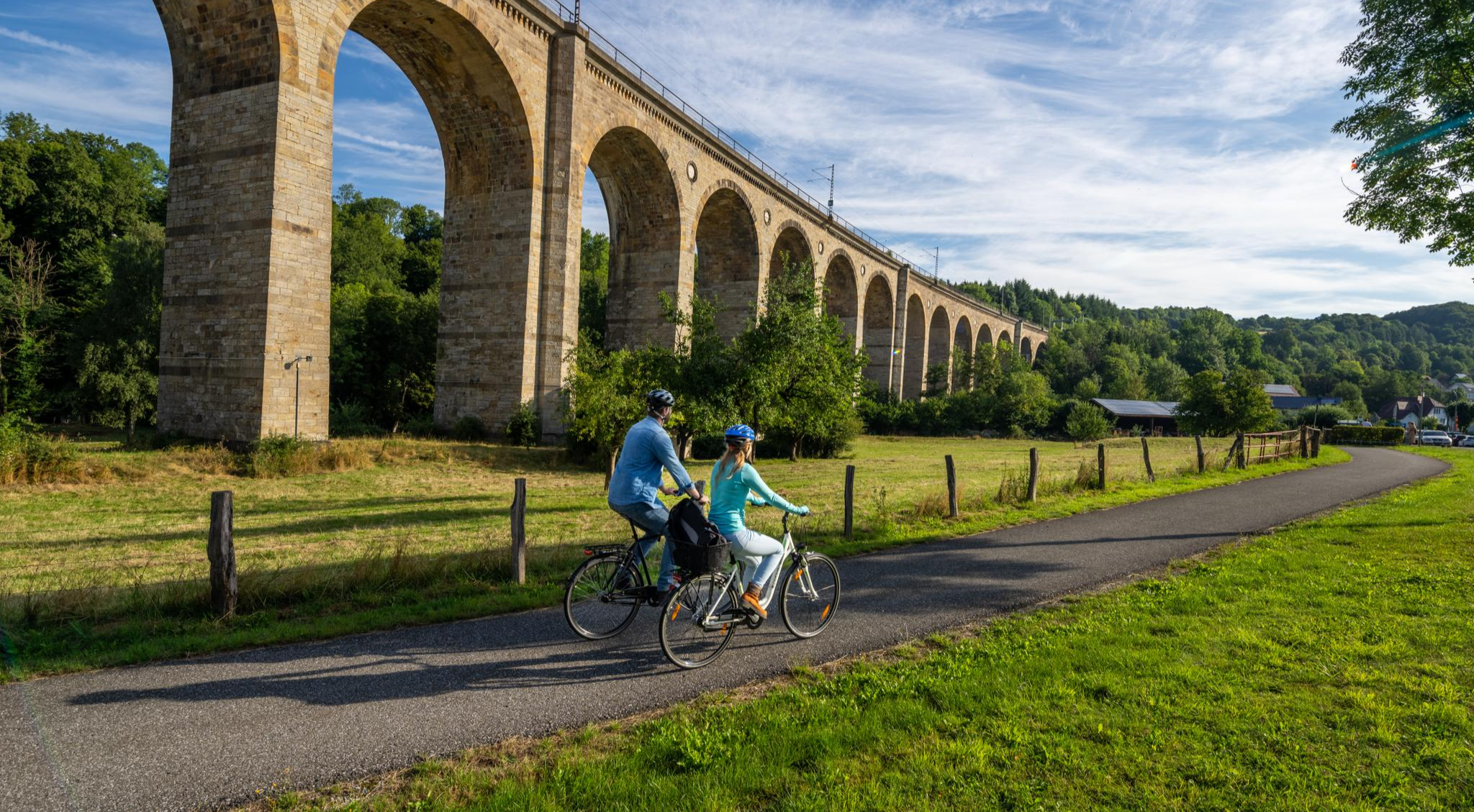
The Paderborn Land Route – 250 kilometers through the middle of Westphalia
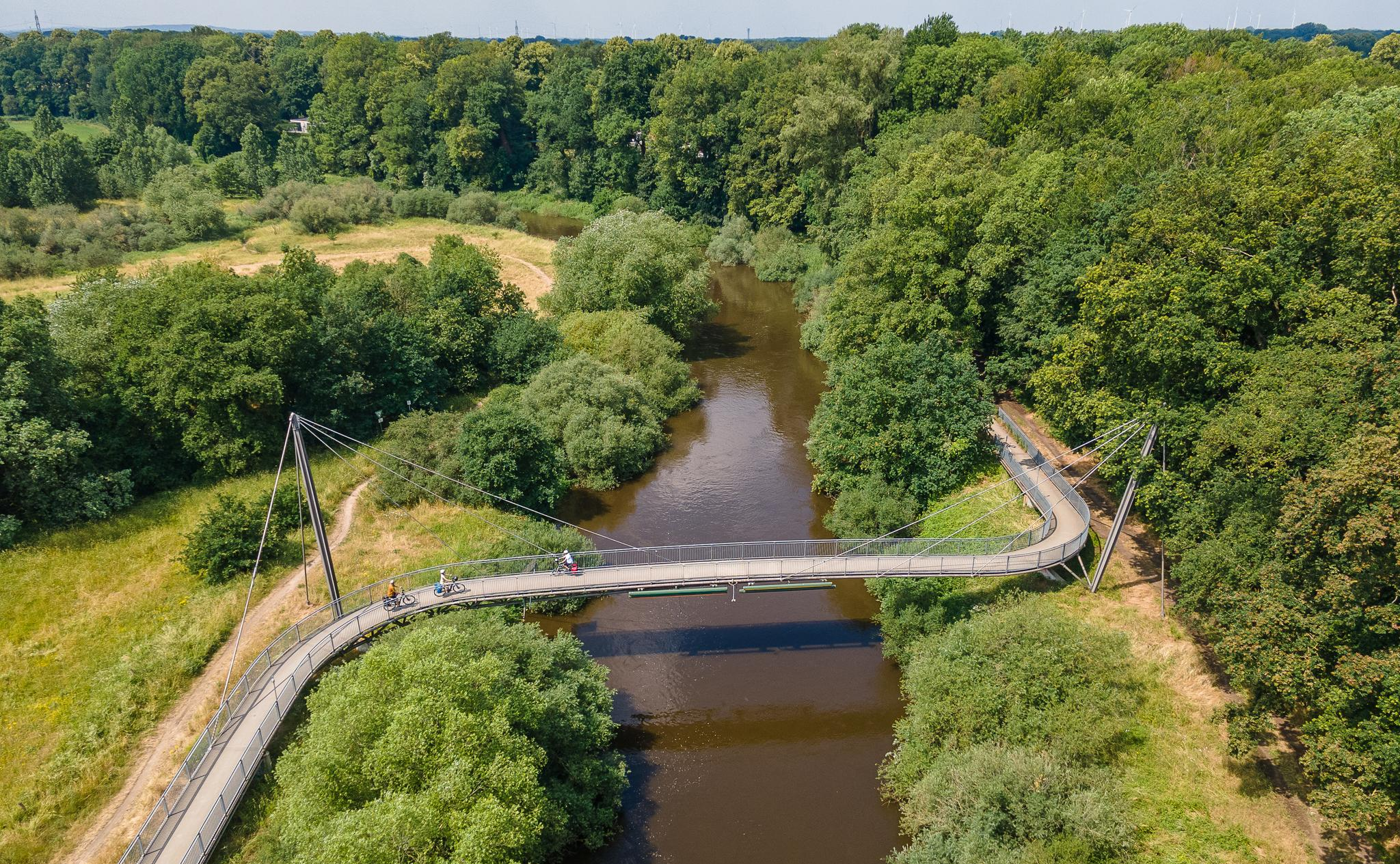
The Ems Cycle Route – in 7 stages from the Senne to the North Sea
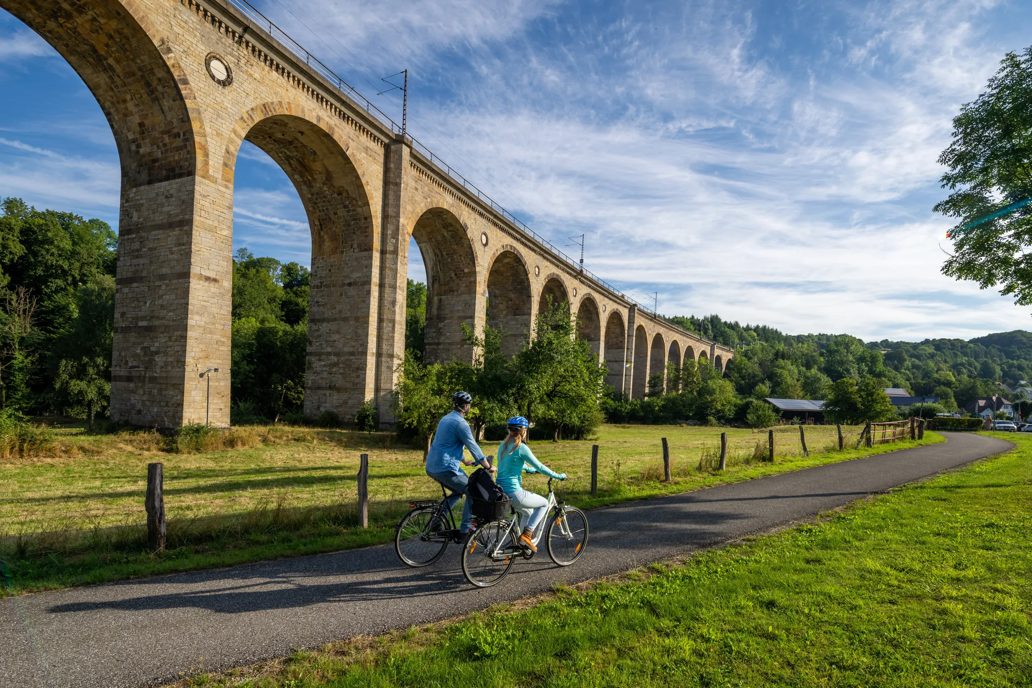
The Paderborn Land Route – 250 kilometers through the middle of Westphalia
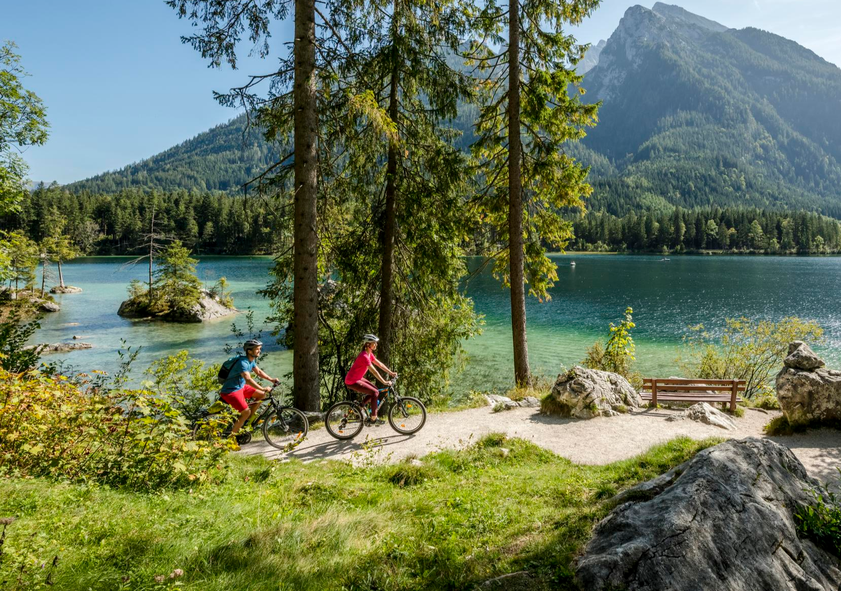
Discover Germany's diversity on enchanting cycling routes
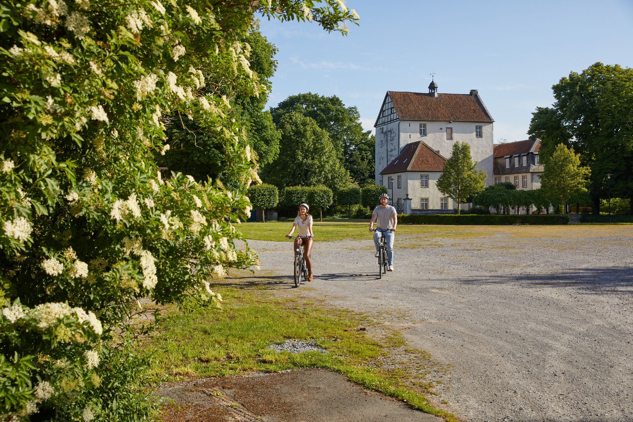
Nature, culture and fun – day Tours in the Paderborn region
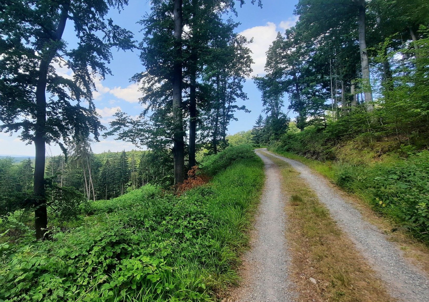
Green diversity - experiential paths through the Teutoburg Forest
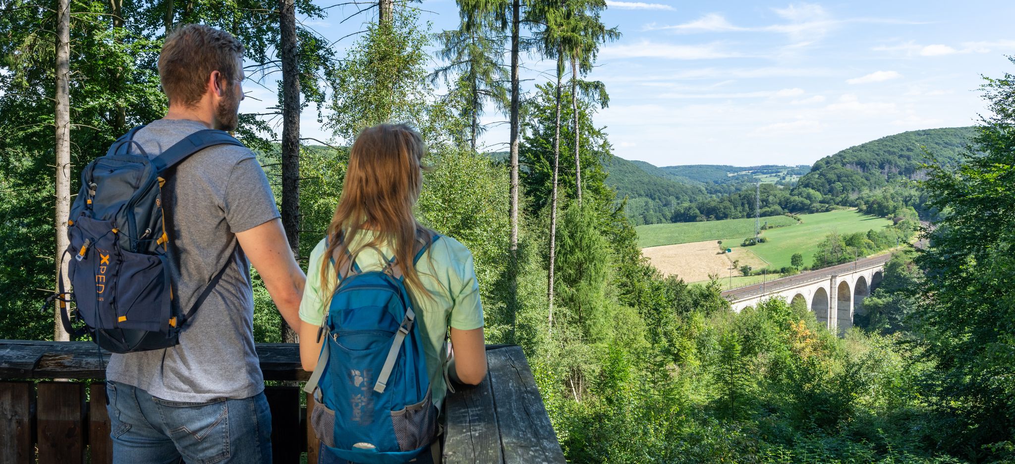
Quality and natural beauty – hike in Germany’s Paderborner Land
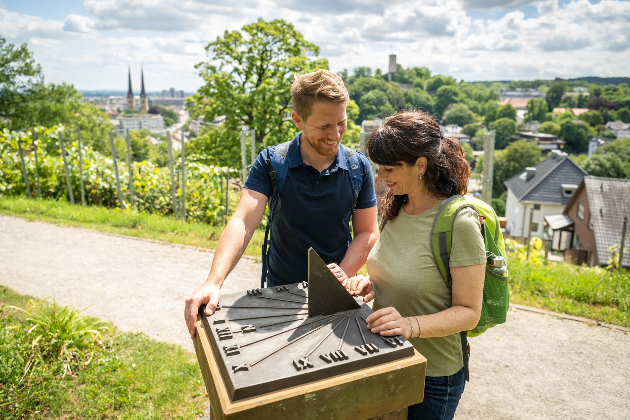
Town, country and river hiking – Germany’s Teutoburg Forest trails
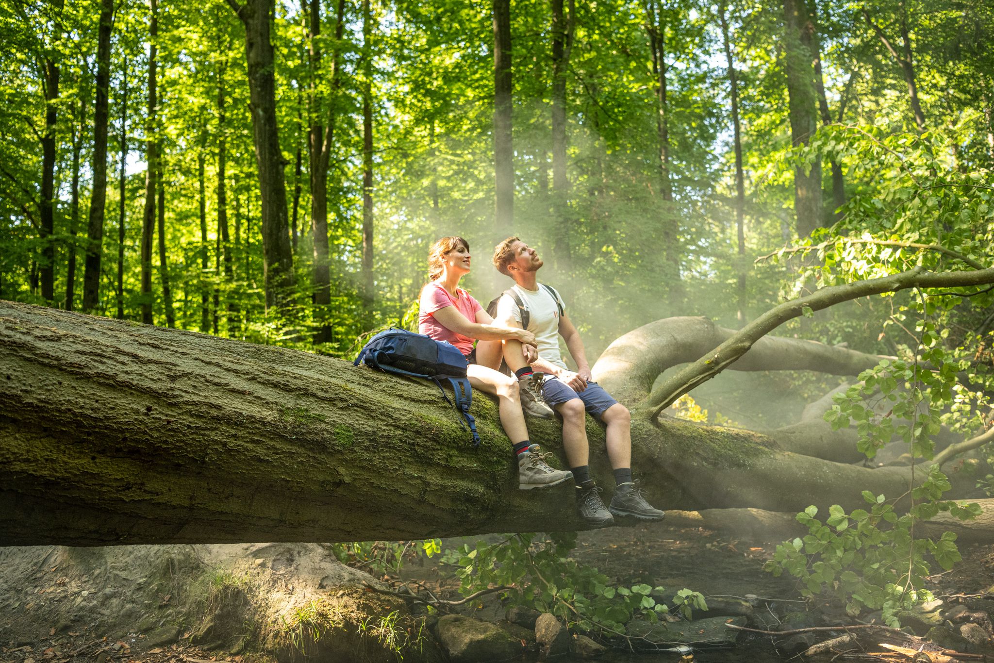
Discover pure nature – Germany’s Teutoburg Forest trails
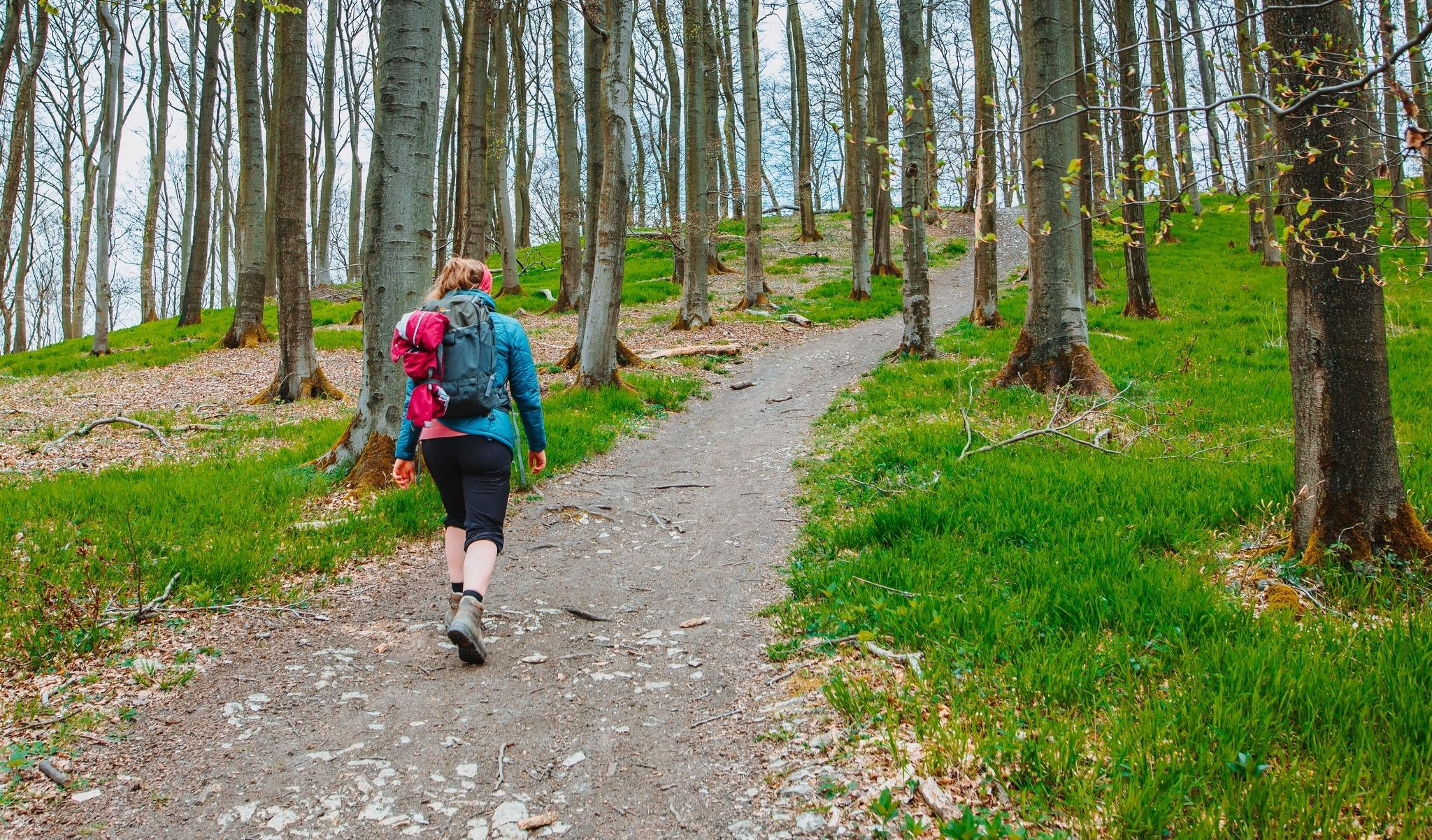
Tour hopping in the Teutoburg Forest in western Germany
Other adventures around Hövelhof


Tips from the Community

Beautiful place in the forest
0
0

Moss heath. The starting point for exciting tours without great elevation gain
1
0

Difficult to walk with a stroller. Buggy works but there are stairs to climb. Depending on which hiking trail you choose, walking with a buggy or stroller can be very bumpy and uneven. A nice route with a dog.
1
0

Beautiful stairs and paths to the Emsquelle. Information boards are there for explanation.
0
0

Nice gag 🙈😜🙈 ...well I couldn't find the right angle to photograph myself with the source on the ground 🙈😂🙈
2
0
A little local history. Old Schützenplatz
0
0

fantastic natural spectacle which is beautiful to look at
10
0

There are 18 official selfie points in SHS, as well as a mobile one that draws attention to itself - and interesting perspectives - at city events. Sights and excursion destinations such as the 400-year-old Holte hunting lodge, the Ems adventure world, the Emsquelle or - brand new - the Wapelaue form the framework for your very personal memories. If you like, you can also upload your SHS selfies to www.flickr.de and share them with us. On flickr we are called StadtSHS! (Source: https://www.schlossholtestukenbrock.de)
3
0
Frequently Asked Questions
What types of terrain can I expect on running routes around Hövelhof?
Jogging routes around Hövelhof primarily feature the diverse natural landscapes of the Senne region. You'll encounter gentle dunes, clear stream valleys, and light pine forests. The unique Moosheide Nature Protection Area offers open heathlands and inland sand dunes. While generally flat, with elevations ranging from 90 to 160 meters, the proximity to the Teutoburg Forest provides some varied topography for those seeking more challenging ascents.
Are there any easy or beginner-friendly jogging routes in Hövelhof?
Yes, Hövelhof offers several easy routes suitable for beginners or those looking for a relaxed run. For instance, the Bird shooting at Hasenkamp loop from Hövelhof is an easy 3.2 km (2 miles) trail, perfect for a quick and gentle workout.
What natural features or landmarks can I see while jogging in Hövelhof?
Hövelhof's running routes are rich in natural beauty. You can explore the significant Ems River Source (Emsquelle), which is a starting point for the Ems Cycle Route. The Moosheide Nature Protection Area is known for its heathlands and inland sand dunes, and during August and September, the heath blossoms in vibrant lilac and purple. You might even spot Senne Wild Horses in these areas. The region is also crisscrossed by numerous clear streams and rivers like the Krollbach, which features a rare bifurcation phenomenon.
Are there any longer running routes for experienced runners in Hövelhof?
Absolutely. For those looking for a longer challenge, the Wetterstein Moosheide loop from Hövelhof is a difficult 16.5 km (10.2 miles) trail that leads through the scenic Moosheide Nature Protection Area. This route offers a more extended and demanding experience.
Can I find circular running routes around Hövelhof?
Yes, many of the running routes in Hövelhof are designed as circular loops, allowing you to start and end at the same point. A popular example is the Selfie point at the source of the Ems – Ems River Source (Emsquelle) loop from Hövelhof, which is a 10.1 km (6.3 miles) circular trail exploring the Ems springs.
What do other runners say about the trails in Hövelhof?
The running routes in Hövelhof are highly rated by the komoot community, with an average score of 4.4 stars from over 30 reviews. Runners often praise the diverse landscapes, from gentle dunes to clear stream valleys and pine forests, and appreciate the well-developed network of trails suitable for various fitness levels.
Are there any specific areas for wildlife spotting while running?
The Moosheide Nature Protection Area is an excellent spot for wildlife. It's home to the springs of the River Ems and features characteristic inland sand dunes and open heathlands. You might encounter Senne Wild Horses roaming these heathlands, especially during the blooming season. The Steinhorster Becken, a large man-made biotope, is also a haven for birds and other wildlife, with an observation tower providing views.
Are there any cafes or places to rest near the running routes?
While running, you might find places to rest or grab a refreshment. For example, Café Hangstein is a highlight listed near some routes, offering a potential stop. The redeveloped historic palace garden in Hövelhof also provides a pedestrian-friendly area for relaxation.
What is the best time of year to go jogging in Hövelhof?
Hövelhof offers enjoyable running conditions throughout much of the year. The heathlands in the Moosheide Nature Protection Area are particularly beautiful during August and September when they blossom with vibrant lilac and purple hues. The varied terrain, from forests to open heath, provides different experiences across seasons, though specific trail conditions might vary with weather.
Are there any viewpoints along the running trails in Hövelhof?
Yes, for panoramic views, you can visit the South Observation Tower at Steinhorster Becken. This biotope is the largest man-made biotope of its kind in North Rhine-Westphalia and offers excellent opportunities to observe birds and other wildlife, along with expansive views of the area.
How accessible are the running routes in Hövelhof by public transport?
Hövelhof is well-connected, and many running routes are accessible from the town center, which can be reached by public transport. While specific route starting points might require a short walk, the general infrastructure supports access to the trail network.
Are there options for parking near the running trails?
Yes, many popular running routes around Hövelhof have designated parking areas nearby, especially at common trailheads or natural attractions like the Ems springs or within the Moosheide Nature Protection Area. It's advisable to check specific route details on komoot for parking information related to your chosen trail.
Most popular routes around Hövelhof
Most popular attractions around Hövelhof

Get inspired with the komoot mobile app


Explore more
Browse the best Running Trails & Routes in other regions.
