The best running trails around Borchen
4.3
(135)
753
runners
73
runs
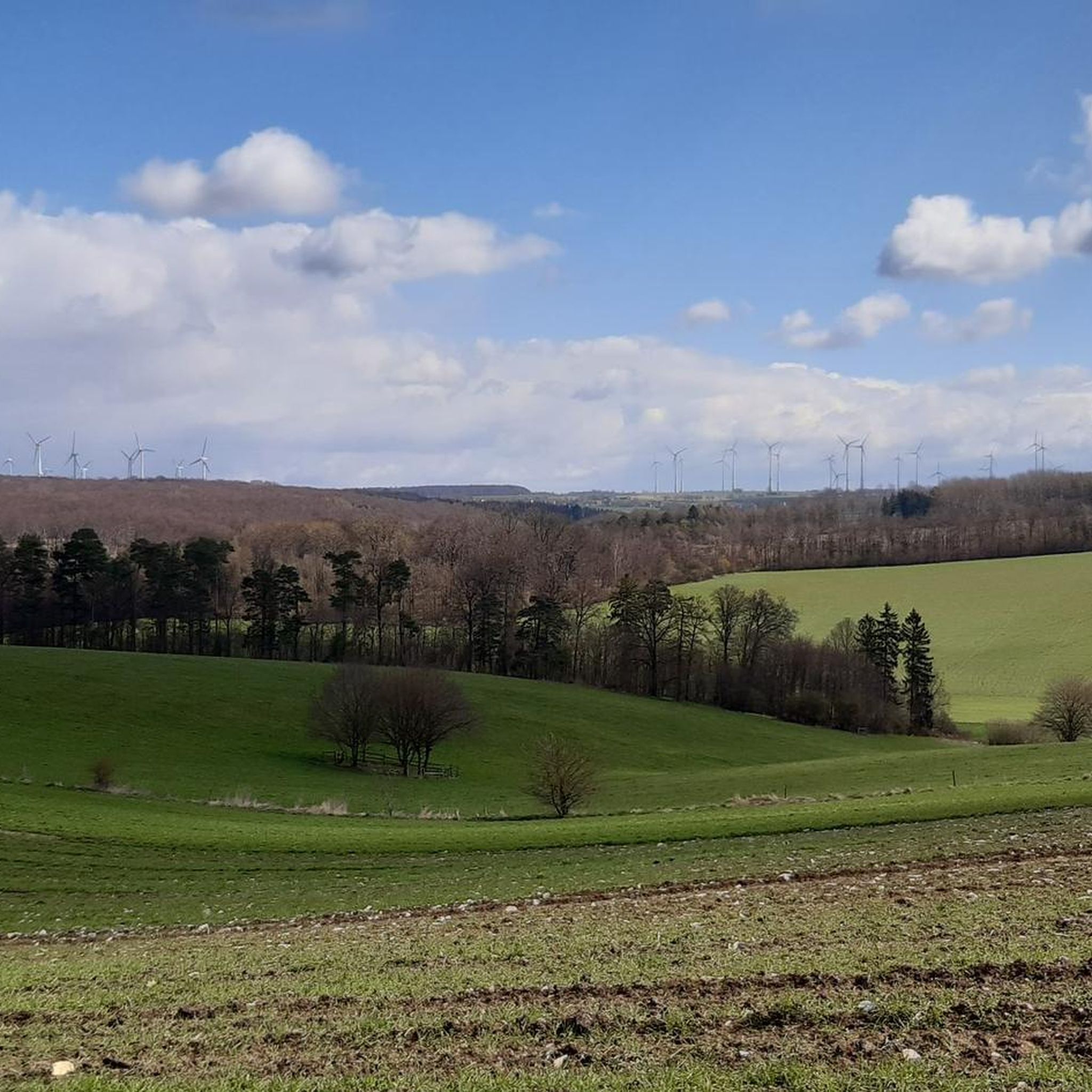
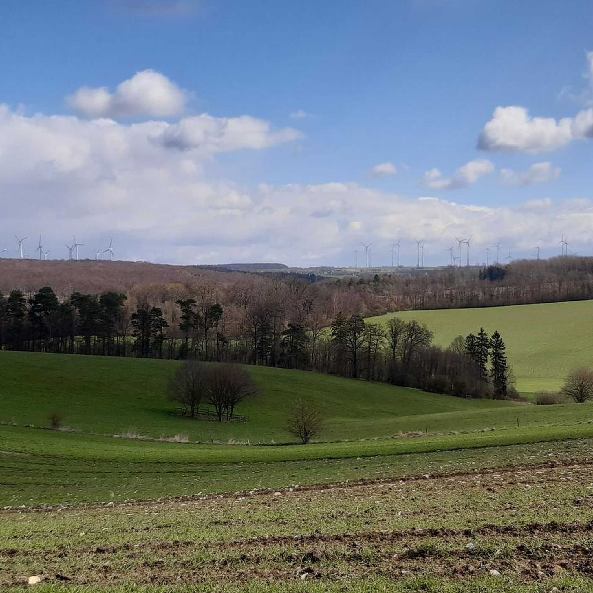
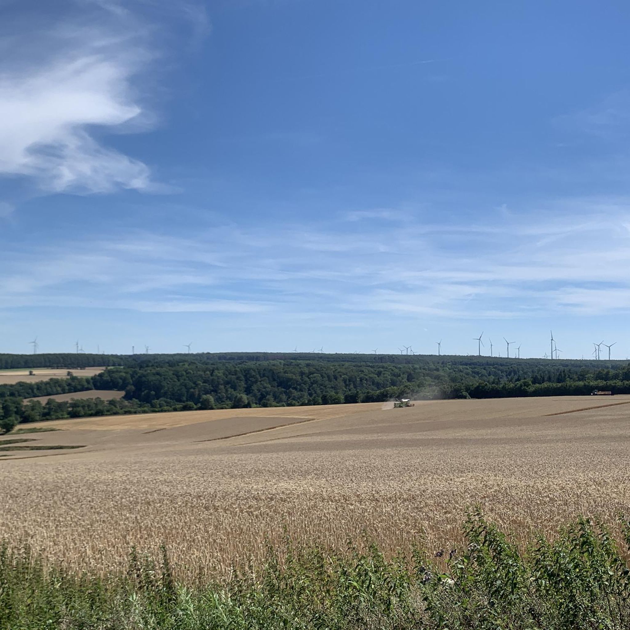
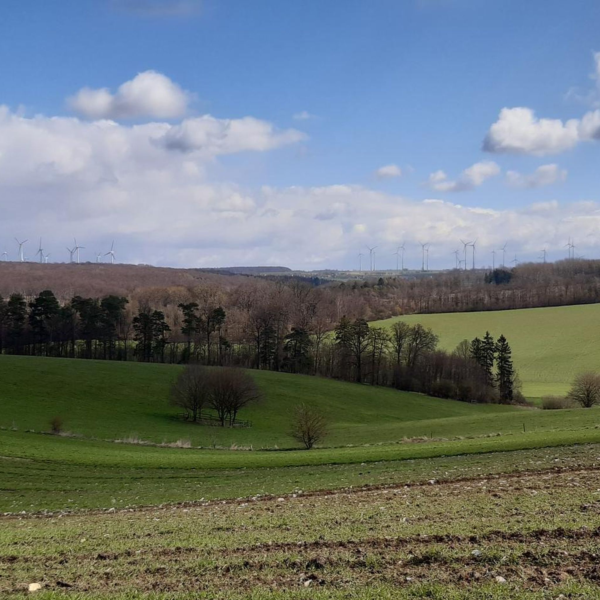
Jogging routes around Borchen traverse a diverse landscape, characterized by picturesque river valleys, serene beech forests, and expansive open fields. The region offers a variety of trails, from paved paths to well-walkable routes, catering to different preferences. Runners can explore the Altenautal, known for its natural beauty, or experience the "Wind-Wald-Wiesen-Wege" with their open field sections. The terrain includes gentle gradients as well as routes with significant elevation changes.
Best jogging routes around Borchen
- The most popular jogging route is…
Last updated: October 7, 2026
4.8
(10)
85
runners
22.7km
02:27
320m
320m
Hard run. Very good fitness required. Mostly paved surfaces. Suitable for all skill levels.
4.0
(2)
63
runners
22.0km
02:23
280m
280m
Hard run. Very good fitness required. Mostly paved surfaces. Suitable for all skill levels.

5.0
(2)
41
runners
Moderate run. Good fitness required. Mostly paved surfaces. Suitable for all skill levels.
34
runners
5.84km
00:36
20m
20m
Moderate run. Good fitness required. Mostly paved surfaces. Suitable for all skill levels.
4.0
(2)
26
runners
7.68km
00:48
50m
50m
Moderate run. Good fitness required. Mostly paved surfaces. Suitable for all skill levels.
Get access to more routes and recommendations from other explorers.
Already have an account?
Our route recommendations are based on thousands of hikes, rides, and runs completed by other people on komoot.


Tips from the Community


The Alme flows through the karst area of the Paderborn plateau, so it often dries up in the summer months between the villages of Wewelsburg and Borchen. In dry years, the lower course can also dry up.
1
0
Good to ride or hike - Sheltered from the wind through an avenue and equipped with cool stops like an outdoor gym and sun loungers.
1
0
Perfect cycle path, this is also where the Almetalbahn was based: The Almetalbahn, named after the Alme, is a 60-kilometer-long, single-track, non-electrified and partially out-of-service branch line from Paderborn via Büren and Brilon to the Brilon Wald railway junction.
1
0
The Almetalbahn, named after the Alme river, is a 60-kilometer-long, single-track, non-electrified and partially non-operational branch line from Paderborn via Büren and Brilon to the Brilon Wald railway junction.
1
0
The Altenau River rises in Westphalia in the southern Egge Mountains, not far from the junction with the Sintfeld and just southeast of the Paderborn Plateau. Its source is located in the south of the Teutoburg Forest/Egge Mountains Nature Park, southeast of Blankenrode on the Humbertsberg (423.4 m above sea level) at approximately 389 m above sea level.
0
0


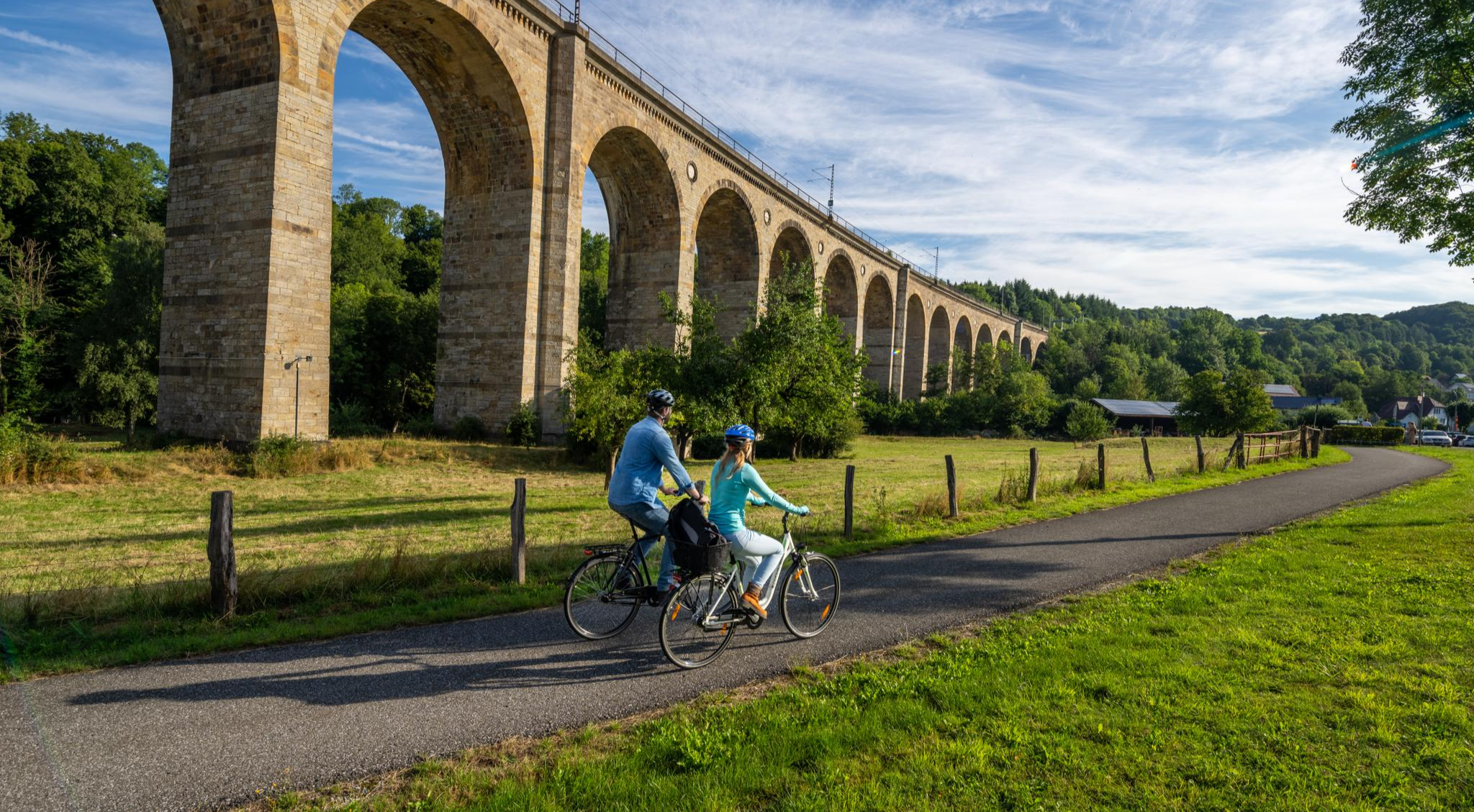
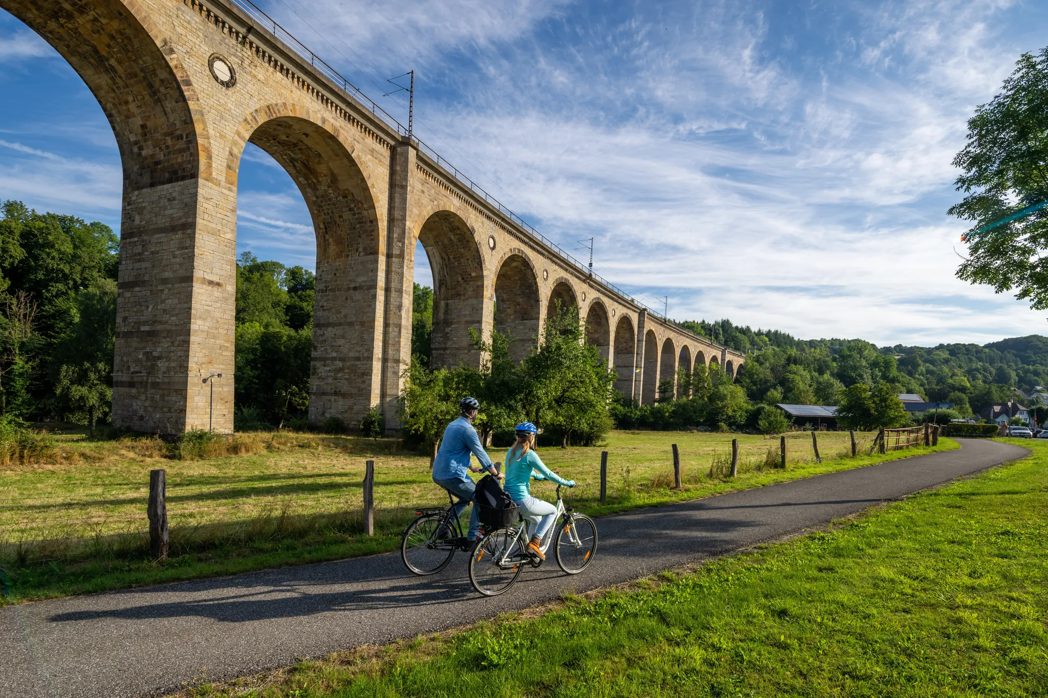
Very nice old bridge, but the bike path is the hit ✌️
1
0
Frequently Asked Questions
How many running routes are available in Borchen?
Borchen offers a wide selection of running routes, with over 70 different trails to explore. These routes cater to various fitness levels, from easy jogs to more challenging runs.
Are there easy jogging routes suitable for beginners in Borchen?
Yes, Borchen has 9 easy running routes perfect for beginners or those looking for a relaxed jog. These paths often feature gentle gradients and well-walkable surfaces, allowing you to enjoy the scenic landscape without significant challenge.
What kind of terrain can I expect on the running trails around Borchen?
The running trails in Borchen offer a diverse terrain. You'll find predominantly paved paths, but also well-walkable natural paths and some sections requiring sure-footedness. The landscape varies from picturesque river valleys like the Altenautal to serene beech forests and open fields, including routes with significant elevation changes.
Are there any circular running routes in Borchen?
Many of Borchen's running routes are circular, allowing you to start and finish at the same point. For example, the 'Wind-Wald-Wiesen-Wege' near Dörenhagen offer two 15-kilometer circular routes that showcase the region's natural beauty, characterized by open fields and forests.
What interesting sights or landmarks can I see while running in Borchen?
While jogging in Borchen, you can encounter various points of interest. The region is home to historical sites and natural features. For instance, you might run past impressive structures like Hamborn Castle or the serene Neuhaus Castle. The 'Alter Pilgerweg' also passes by the historic 'Zur Hilligen Seele' Chapel near Borchen-Dörenhagen.
Can I bring my dog on the running trails around Borchen?
Generally, dogs are welcome on most public running trails in Borchen, especially those traversing natural landscapes like forests and fields. However, it's always advisable to keep your dog on a leash and be mindful of local regulations, particularly in nature reserves or near agricultural areas.
Are there any running routes that pass by water features like lakes or rivers?
Yes, Borchen's landscape includes beautiful river valleys. The Altenautal, for example, is known for its picturesque river and offers an immersive experience in nature. While not directly within Borchen, nearby Lippe Spring and the Lippesee area provide scenic paths suitable for running alongside water.
What do other runners enjoy most about jogging in Borchen?
The running routes in Borchen are highly rated by the komoot community, with an average score of 4.5 stars from over 120 reviews. Runners frequently praise the diverse landscape, including river valleys, impressive beech forests, and open fields, as well as the variety of routes suitable for different ability levels.
Are there any challenging running routes for experienced runners in Borchen?
Absolutely. For experienced runners seeking a challenge, Borchen offers 9 difficult routes with significant elevation changes. A popular choice is the Blue Madonna at the Stern – Hamborn Castle loop from Dörenhagen, a 22.6 km trail with considerable ascent, taking around 2 hours 27 minutes to complete.
Are there any running routes that offer historical or educational insights?
Yes, you can combine your run with a bit of history. An 8.3-kilometer Archaeological-Historical Educational Path starts near the stone cist graves in Kirchborchen. This path leads past a detailed replica of a tumulus, offering an educational aspect to your jog through the region's past.
What is a good moderate-difficulty running route in Borchen?
For a moderate challenge, consider the Gembrisweg Singletrack Descent – Blue Madonna at the Stern loop from Eiferslohn. This 11.7 km trail leads through forested areas and is often completed in about 1 hour 16 minutes, offering a balanced workout with some elevation.
Are there shorter running routes available for a quick workout?
Yes, if you're looking for a shorter run, there are several options. The FriedWald Nonnenbusch – FriedWald Nuns' Grove loop from Dörenhagen is a moderate 5.5 km route that can be completed in about 35 minutes, perfect for a quick and refreshing jog.
Most popular routes around Borchen
Most popular attractions around Borchen

Get inspired with the komoot mobile app


Explore more
Browse the best Running Trails & Routes in other regions.
