The best road cycling routes around Téteghem-Coudekerque-Village
4.4
(165)
6,916
riders
21
rides
Road cycling routes around Téteghem-Coudekerque-Village traverse a flat, open landscape known as the Blootland, characterized by extensive cycle paths. The region offers a blend of coastal routes, dune areas, and canal-side trails, providing varied scenery for cyclists. This area benefits from a well-developed cycling infrastructure, including dedicated paths that connect towns, marinas, and natural reserves. The terrain is generally low-lying, with minimal elevation changes, making it suitable for a range of cycling abilities.
Best road cycling routes around Téteghem-Coudekerque-Village
- The…
Last updated: July 10, 2026
5.0
(1)
46
riders
38.0km
01:26
60m
60m
Moderate road ride. Great for any fitness level. Some segments of this route may be unpaved and difficult to ride.
4.7
(3)
31
riders
44.3km
01:43
100m
100m
Moderate road ride. Great for any fitness level. Some segments of this route may be unpaved and difficult to ride.

Sign up for free
4.0
(1)
15
riders
44.8km
01:42
50m
50m
Moderate road ride. Great for any fitness level. Some segments of this route may be unpaved and difficult to ride.
6
riders
29.2km
01:07
40m
40m
Easy road ride. Great for any fitness level. Mostly well-paved surfaces and easy to ride.
9
riders
Easy road ride. Great for any fitness level. Mostly well-paved surfaces and easy to ride.
Get access to more routes and recommendations from other explorers.
Sign up for free
Already have an account?
Our route recommendations are based on thousands of hikes, rides, and runs completed by other people on komoot.
Start today with a free account
Your next adventure awaits.
Login or Signup

Tips from the Community

From the 10th century onwards, a Romanesque church stood here. This church had fallen into very poor condition, and in 1802 it was renovated to serve as a parish church after the French Revolution. By 1862, only the nave remained, and it was decided to demolish the old church. In 1872, the foundation stone of a new church was laid on top of a dune. It was a Neo-Gothic church building. In 1940, this church was largely destroyed. Consequently, worshippers had to worship in a temporary church, and reconstruction began in 1949. Construction was interrupted by bankruptcy, but resumed in 1955. The church was consecrated in 1958. The church has a tower attached to the front, which also housed a clock in 1988. The stained-glass windows in the choir depict the life of Saint Vincent de Paul. Source: Wikipedia
0
0
This monument commemorates the residents of Ghyvelde who died in the First and Second World Wars. The monument stands on the square in front of the church. Atop the column is a sculpture: at the front, a soldier with a rifle and a flag in his hand. Behind him is the statue of a victorious woman holding a laurel wreath above the flag. Below that, a cross in relief: "1914 – 1918" "To the children of Ghyvelde who died for France" On the plinth are several memorial plaques: "To the fighters Tunisia – Morocco – Algeria * Indochina 1952-1962 1946-1954" Below that, a plaque listing the victims of the First World War, arranged by year. The names continue on the right side of the plinth. 1914: 15 names 1915: 14 names 1916: 14 names 1917: 7 names (right) 1918: 12 names At the bottom, a plaque with 27 names, indicating their regiment, various nationalities (including Canadians). "Ghyvelde was liberated on September 15, 1944" On the left side of the plinth : "Civilian Casualties" 1914: 4 names 1917: 1 name "Tribute to the Canadian Soldiers" 1944 "War 1939-1945 Military Casualties": 9 names Source: https://www.tracesofwar.nl/sights/5847/Oorlogsmonument-Ghyvelde.htm
0
0


Beautiful views of the former fortress.
4
0

A must-see for reaching the coast from Bergue.
3
0
A must-see for reaching the coast from Bergue. The gravel roads are in perfect condition and suitable for gravel bikes or mountain bikes.
3
0
A must-see for reaching the coast from Bergue. The gravel roads are in perfect condition and suitable for gravel bikes or mountain bikes.
4
0
Frequently Asked Questions
How many road cycling routes are available around Téteghem-Coudekerque-Village?
There are over 570 road cycling routes available in and around Téteghem-Coudekerque-Village, offering a wide variety of options for all skill levels. The komoot community has explored these routes over 6,000 times.
What is the typical terrain like for road cycling in this region?
The region, known as the Blootland, is characterized by a generally flat and open landscape, making it ideal for road cycling. You'll find extensive cycle paths traversing the seashore, towns, marinas, dunes, beaches, and canals. While mostly flat, some routes may include minor climbs, such as the one found on the Socx Climb – Bergues, town of the Ch'tis loop from Leffrinckoucke.
Are there road cycling routes suitable for beginners or families?
Yes, Téteghem-Coudekerque-Village offers many easy road cycling routes. Out of over 570 routes, 134 are classified as easy, with minimal elevation changes. An example is the Bergues – Bergues, town of the Ch'tis loop from Zamenhof-Coquelle, which leads through flat countryside.
What natural features or landmarks can I expect to see on road cycling routes?
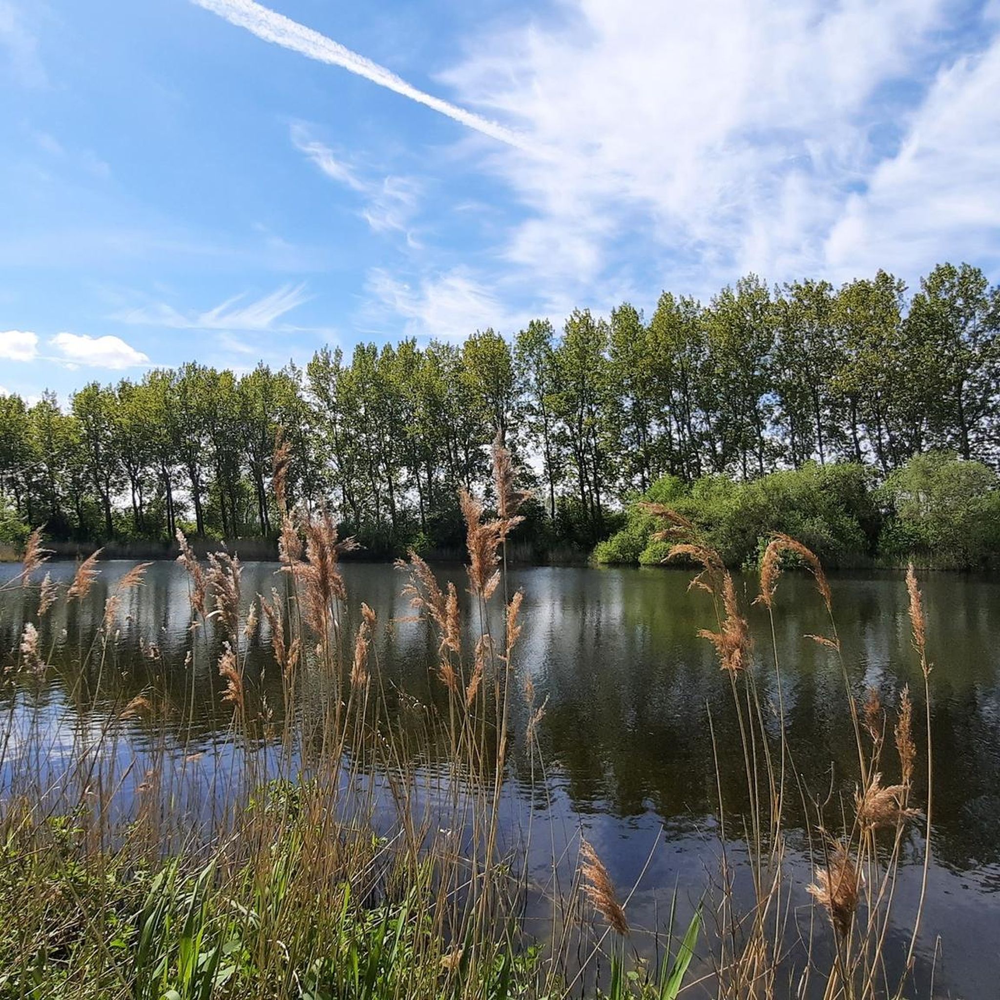
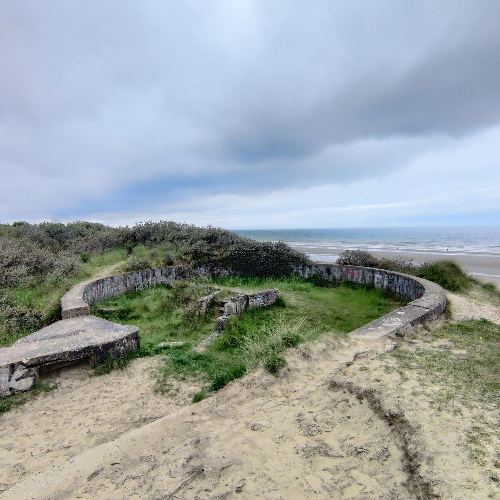
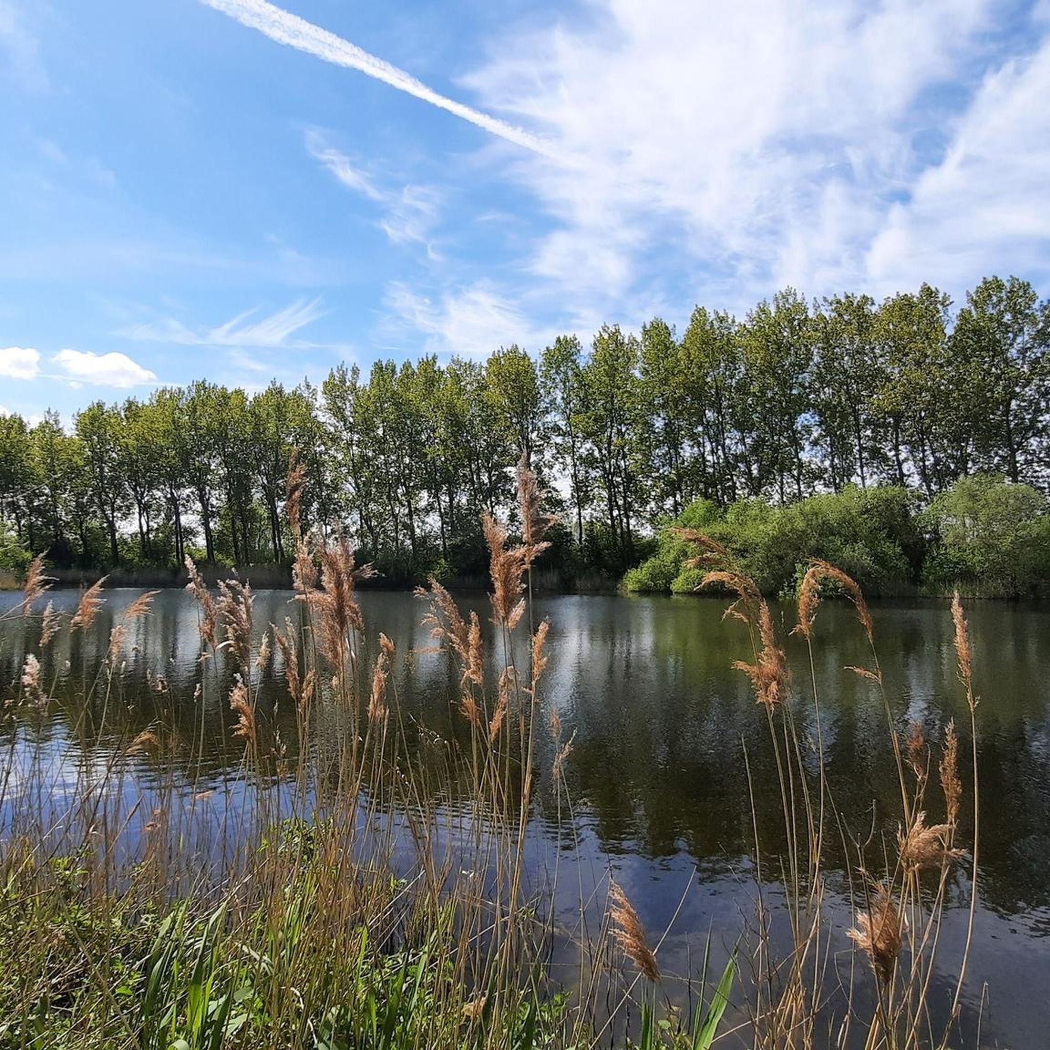
Road cycling routes in the area offer diverse scenery. You can cycle past the unique Maerebrug (Maere Bridge) over the Nieuwpoort–Dunkirk Canal, explore the Dune Dewulf Nature Reserve with its dry dunes and military remnants, or follow the Nieuwpoort–Dunkirk Canal. The region also features several lakes, such as Téteghem Lake, which has dedicated routes.
Are there scenic coastal road cycling routes?
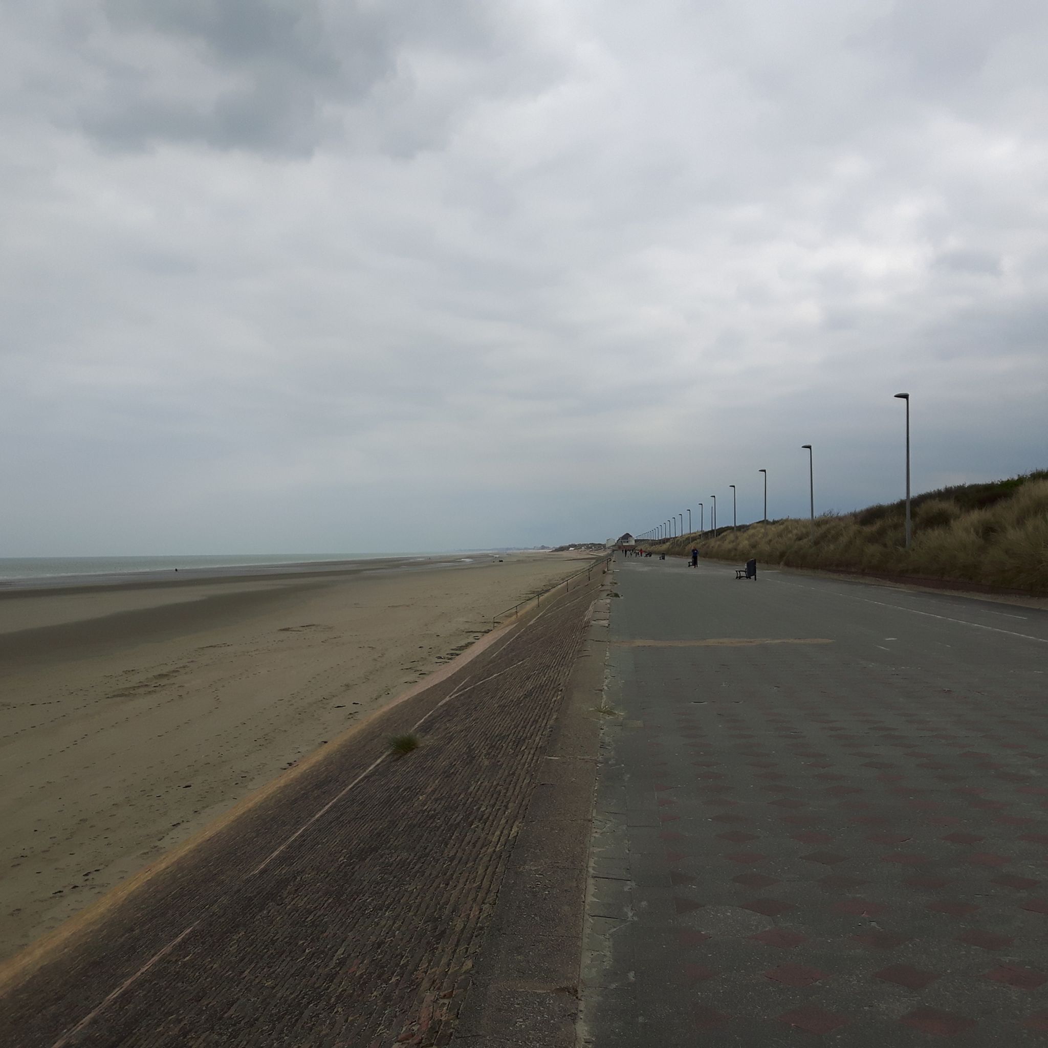
Absolutely. The region boasts 410 kilometers of cycle paths that traverse the seashore, dunes, and beaches. The Eurovelo4 maritime cycle path, for instance, offers an extensive coastal route over 53 kilometers between Grand-Fort-Philippe and Bray-Dunes, connecting natural areas and coastal sites.
What do other cyclists say about road cycling in Téteghem-Coudekerque-Village?
The road cycling routes in Téteghem-Coudekerque-Village are highly rated by the komoot community, with an average score of 4.4 stars from over 170 reviews. Cyclists often praise the well-developed cycling infrastructure, the varied terrain from coastal paths to canal routes, and the generally flat, open landscapes that make for enjoyable rides.
Where can I find parking for road cycling routes in Téteghem-Coudekerque-Village?
Given the region's focus on accessibility and outdoor activities, parking is generally available in and around Téteghem-Coudekerque-Village, particularly near popular starting points for cycle paths and attractions. Many routes, like the Téteghem Lake loop from Malo-les-Bains, often have accessible parking nearby.
What is the best time of year for road cycling in Téteghem-Coudekerque-Village?
The spring and summer months generally offer the most pleasant conditions for road cycling, with milder temperatures and longer daylight hours. However, the extensive network of paved cycle paths makes the region suitable for cycling throughout much of the year, weather permitting.
Are there any long-distance road cycling options in the area?
Yes, for those seeking longer rides, the Eurovelo4 maritime cycle path passes through the region, offering an extensive route. Additionally, the Flanders bike route links Lille to Dunkirk, passing through significant landmarks and providing a longer-distance option for exploration.
Can I find routes that pass by cafes or places to rest?
Many routes in the area pass through or near towns and villages, offering opportunities to stop at local cafes, bakeries, or restaurants. The proximity to Dunkirk also means easy access to a wider range of amenities. Routes like the Channel – Canal de la Haute Colme loop from Uxem often connect to areas with facilities.
Are there road cycling routes that avoid heavy traffic?
The region is known for its extensive network of dedicated cycle paths, which are designed to keep cyclists separate from heavy road traffic. Many routes follow canal paths or traverse natural reserves, offering peaceful rides away from cars. For more information on cycling infrastructure, you can visit Dunkirk Tourism's cycling page.
What are some unique points of interest accessible by bike?
Beyond natural beauty, you can cycle to historical sites like Belgium–France Border at Grenspad and 1819 Border Marker, or explore the typical Northern French architecture in Téteghem itself. The nearby city of Dunkirk offers attractions such as the Beach of Malo-les-Bains and Fort Louis Park, easily reachable by bike.
Most popular routes around Téteghem-Coudekerque-Village
Most popular attractions around Téteghem-Coudekerque-Village

Get inspired with the komoot mobile app


Explore more
Browse the best Road cycling routes in other regions.
