The best walks and hikes around Brunstatt-Didenheim
4.7
(120)
822
hikers
53
hikes
Hiking around Brunstatt-Didenheim, located in France's Grand Est region, offers diverse landscapes for outdoor enthusiasts. The area is characterized by the flowing Ill river and Rhône au Rhin canal, providing picturesque settings for walks. Surrounding forests offer numerous signposted footpaths, while the nearby foothills of the Jura mountains contribute to a varied topography with elevated viewpoints.
Best hiking trails around Brunstatt-Didenheim
- The most popular hiking route is Brunstatt lock – Chapel of the Cross of Burn loop from Brunstatt-Didenheim,…
Last updated: May 24, 2026
5.0
(3)
17
hikers
Easy hike. Great for any fitness level. Easily-accessible paths. Suitable for all skill levels.
4.6
(5)
65
hikers
Moderate hike. Good fitness required. Easily-accessible paths. Suitable for all skill levels.

Sign up for free
4.8
(4)
22
hikers
Easy hike. Great for any fitness level. Easily-accessible paths. Suitable for all skill levels.
5.0
(1)
15
hikers
5.83km
01:29
20m
20m
Easy hike. Great for any fitness level. Easily-accessible paths. Suitable for all skill levels.
4.5
(2)
13
hikers
Easy hike. Great for any fitness level. Easily-accessible paths. Suitable for all skill levels.
Get access to more routes and recommendations from other explorers.
Sign up for free
Already have an account?
Our route recommendations are based on thousands of hikes, rides, and runs completed by other people on komoot.
Start today with a free account
Your next adventure awaits.
Login or Signup

Tips from the Community

Allows crossing the Ill at height, behind the Olympic ice rink, between the swimming pool, mini-golf and campsite.
0
0
Red bench with a quote from Saint-Exupéry
0
0
12/03/2026: Footbridge open to pedestrians and cyclists. No (more?) works in progress.
0
0

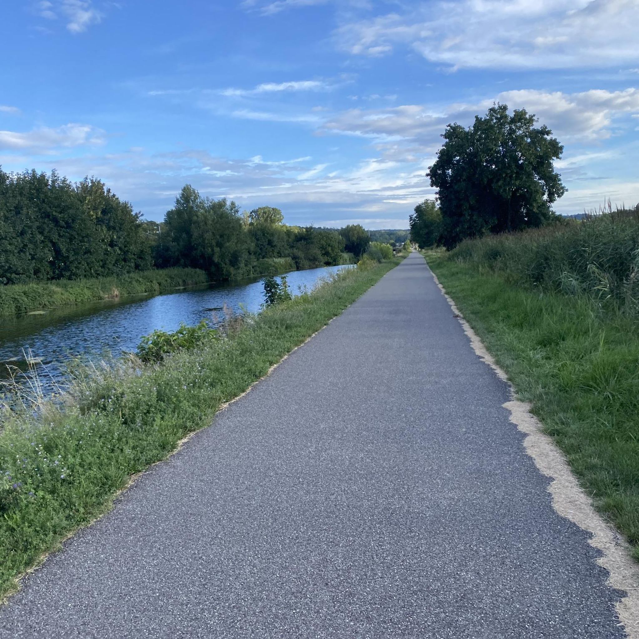
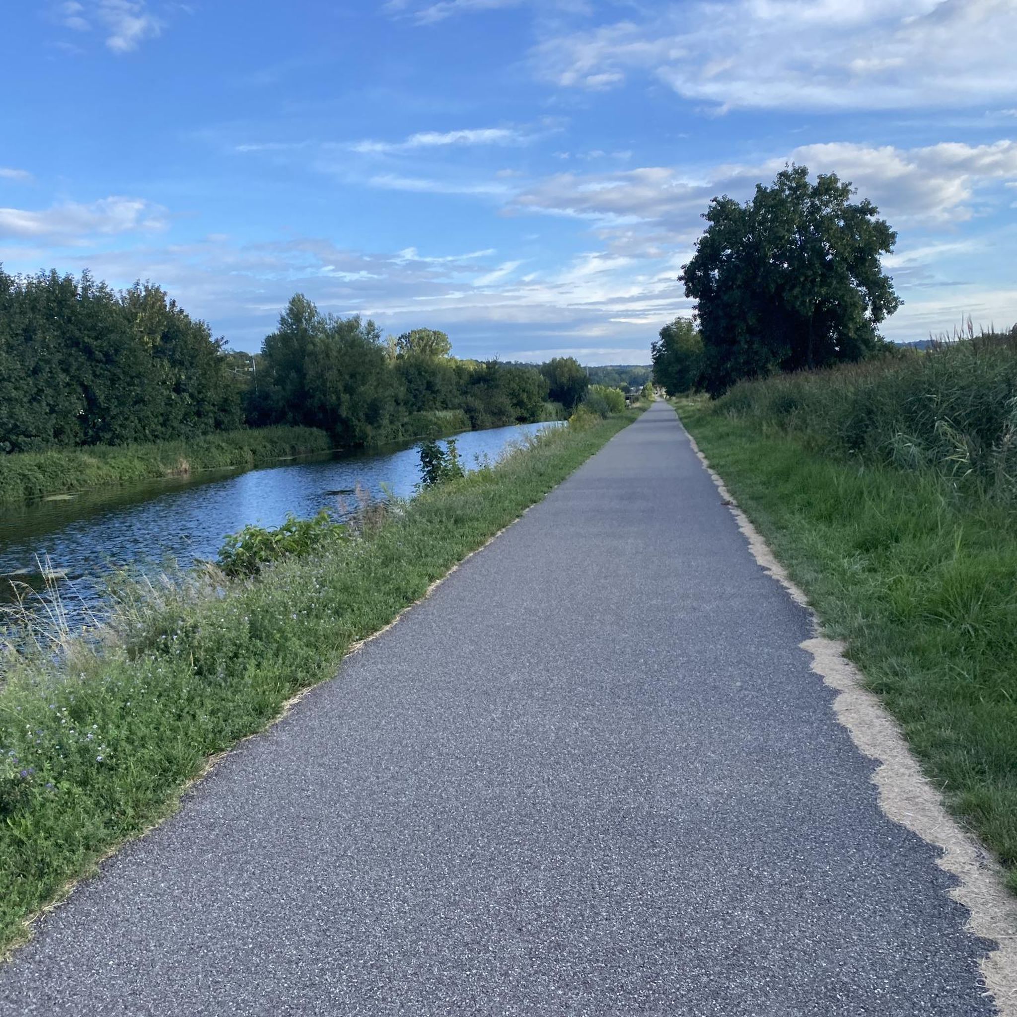
Rivers and canals crisscross the country, the latter in particular being a crucial part of the transport infrastructure in earlier times. Later, first rail, and later again trucks, took over the task of transporting goods. In the competition between different modes of transport, they were faster and cheaper than barges – and thus more efficient. When building the artificial waterways, however, it had to be taken into account that differences in elevation always had to be overcome, and so locks are often lined up along the canals – at varying intervals, depending on the local situation. Only with their help was shipping possible.
0
0

The castle fits nicely into the panorama. But I didn't go there.
0
0

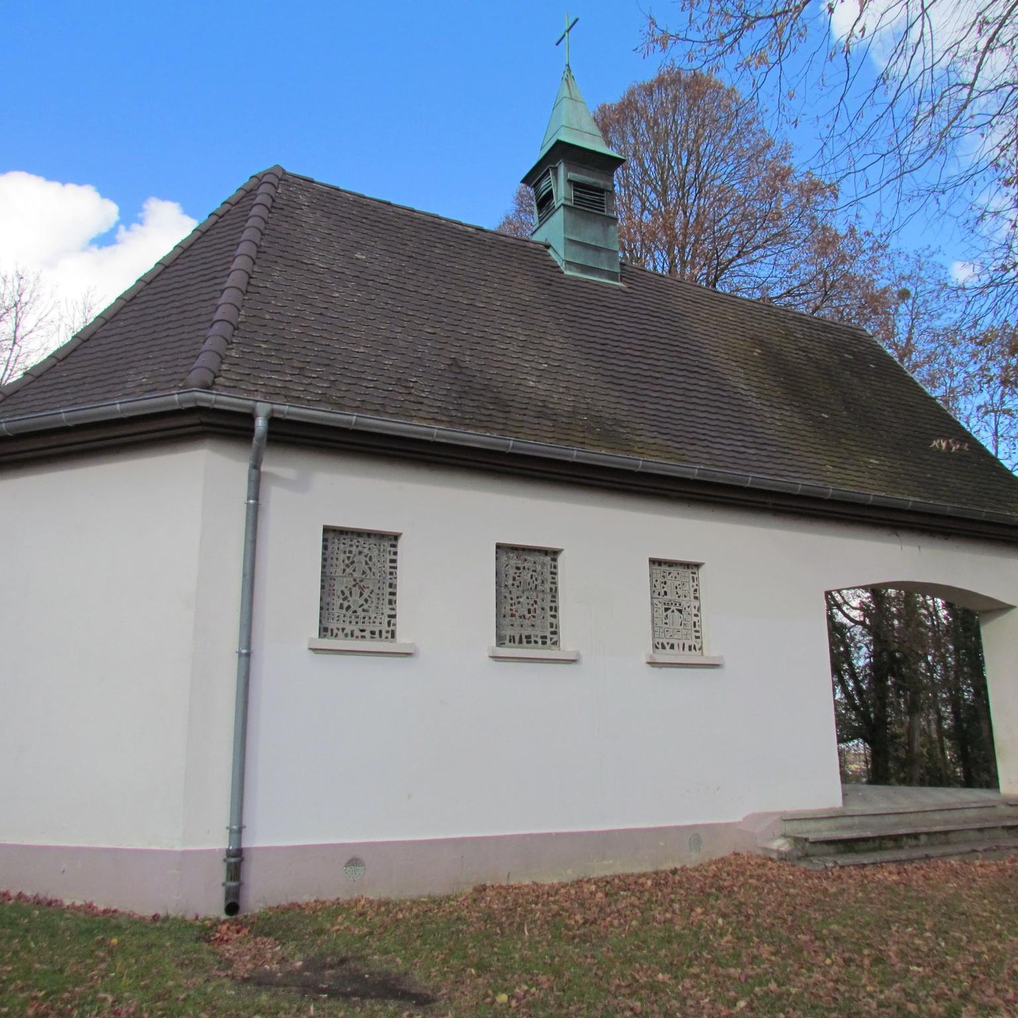
Also good as shelter in the rain
0
0

Large and fairly well preserved fountain
3
0
The Maison Mieg is the largest house on the Place de la Réunion
4
0
Frequently Asked Questions
How many hiking trails are there in Brunstatt-Didenheim?
Brunstatt-Didenheim offers a good selection of hiking routes, with over 50 trails available for exploration. These range from easy strolls along the canals to more moderate excursions through the local forests and hills.
What kind of terrain can I expect on hikes around Brunstatt-Didenheim?
The terrain around Brunstatt-Didenheim is quite varied. You'll find picturesque paths along the Ill river and the Rhône au Rhin canal, as well as signposted trails winding through verdant forests. Some routes venture into the foothills of the Jura mountains, offering elevated viewpoints and more undulating landscapes.
Are there any easy, family-friendly hikes in Brunstatt-Didenheim?
Yes, there are many easy routes suitable for families. For instance, the Brunstatt lock – Chapel of the Cross of Burn loop is an easy 4.7-mile trail that follows the river and canal, passing the notable Croix du Burn. Another gentle option is the Graffiti on the canal – Ill Municipal Campsite loop, which is about 4.8 miles and takes you through canal-side paths and green spaces.
Can I bring my dog on the hiking trails?
Many trails in the Brunstatt-Didenheim area are dog-friendly, especially those through forests and along the canals. It's always recommended to keep your dog on a leash, particularly in populated areas or near wildlife, and to check local signage for any specific restrictions.
Are there any circular hiking routes available?
Yes, many of the routes around Brunstatt-Didenheim are circular, allowing you to start and end at the same point. Examples include the popular Chapel of the Cross of Burn – Chapel of the Croix-du-Burn loop, which offers varied terrain and views, and the Café au soleil – Brunstatt lock loop, a shorter, easy option.
What are some notable landmarks or points of interest I can see while hiking?
A significant landmark in the area is the Croix du Burn, which features a chapel, an artificial cave with frescoes, and a beautifully sculpted path. You can also encounter the Rhône–Rhine Canal and various locks like the Zillisheim Drawbridge and Lock No. 35, which provide picturesque settings for walks.
Are there hikes with good viewpoints in the area?
While many trails offer pleasant views of the surrounding natural beauty, routes that ascend into the foothills of the Jura mountains, such as the Chapel of the Cross of Burn – Chapel of the Croix-du-Burn loop, will provide more elevated perspectives and panoramic vistas of the region.
What is the best time of year to go hiking in Brunstatt-Didenheim?
Brunstatt-Didenheim experiences a semi-continental climate, making it suitable for outdoor activities across various seasons. Spring and autumn offer pleasant temperatures and beautiful scenery with blooming flowers or vibrant foliage. Summer is also great, especially for walks along the shaded river and canal paths, while winter can provide unique, crisp hiking conditions.
How can I access the hiking trails using public transport?
Brunstatt-Didenheim is well-connected within the Mulhouse urban area. Local bus services can provide access to various starting points for hikes within the commune and its immediate surroundings. For specific route access, it's best to check local transport schedules and maps.
Where can I park my car when visiting the trails?
Parking is generally available in and around Brunstatt-Didenheim, particularly near popular starting points for trails or in village centers. Many routes begin near residential areas or public spaces where street parking or small car parks can be found. Always look for designated parking areas to ensure convenience and respect for local residents.
Are there more challenging hikes for experienced trekkers?
While many local trails are easy to moderate, for more extensive and challenging adventures, Brunstatt-Didenheim serves as an excellent base for exploring the nearby Ballons des Vosges Regional Natural Park. This park offers renowned hikes with more demanding terrain and significant elevation changes.
What do other hikers say about the trails in Brunstatt-Didenheim?
The hiking routes in Brunstatt-Didenheim are highly rated by the komoot community, with an average score of 4.7 stars from over 100 reviews. Hikers often praise the diverse landscapes, the peaceful riverside paths, and the well-maintained forest trails that offer a mix of nature and local charm.
Can I find trails that follow rivers or canals?
Absolutely. A defining feature of hiking in Brunstatt-Didenheim is the presence of the Ill river and the Rhône au Rhin canal. Many trails, such as the Brunstatt lock – Chapel of the Cross of Burn loop, follow their banks, offering flat, scenic paths perfect for leisurely walks and enjoying the waterways.
Most popular routes around Brunstatt-Didenheim
Most popular attractions around Brunstatt-Didenheim

Get inspired with the komoot mobile app


Explore more
Browse the best Hikes in other regions.
